 Block
Viley, Kentucky
15 topographic sheets cover this place, the earliest surveyed in 1906 and the latest in 1986. It stands in the Lexington-Fayette Southwest census division. It stands on Wolf Run. The Survey maps it on the Lexington West quadrangle.
On record in Viley
Buildings and businesses the archive holds for this place. Each opens its own page, with the source record it came from.
On the National Register within a mile 2 records
The National Register names another town for these. They stand within one mile of this settlement's coordinate.
- Lewis Manorlisted 1976 · 0.1 miles away
- Lexington Veterans Administration Hospitallisted 2012 · 0.6 miles away
Topographic sheets covering this place
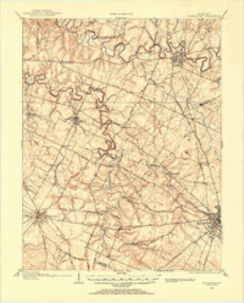
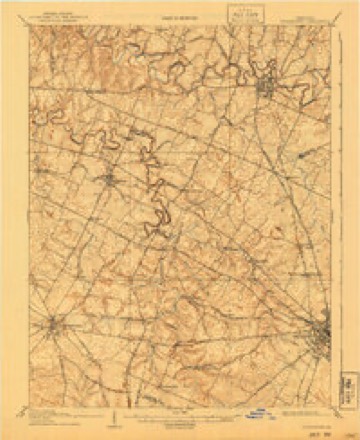
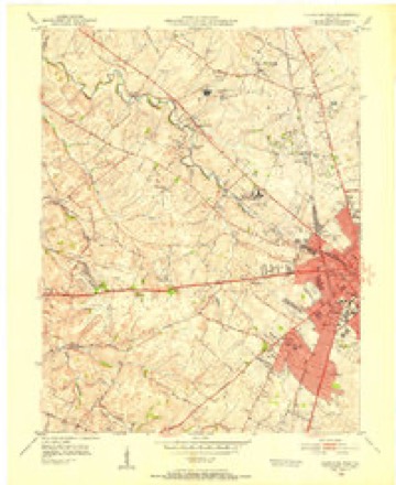
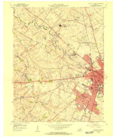
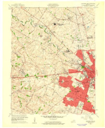
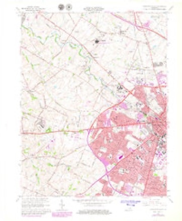
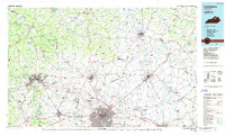
9 surveys from 15 printed sheetsMatched by testing this settlement's coordinate against the published boundary of every sheet in the United States Geological Survey's historical collection. Each opens the scanned sheet at the Survey.
- 1906 USGS Georgetown quadrangle1:62500
- 1908 USGS Georgetown quadrangle1:62500, 2 printings
- 1950 USGS Lexington West quadrangle1:24000
- 1955 USGS Lexington West quadrangle1:24000
- 1956 USGS Louisville quadrangle1:250000, 2 printings
- 1959 USGS Lexington West quadrangle1:24000
- 1964 USGS Louisville quadrangle1:250000
- 1965 USGS Lexington West quadrangle1:24000, 5 printings
- 1986 USGS Lexington quadrangle1:100000


Mines and quarries near this place
3 within 5 milesRegional context, not property-specific evidence. The federal mineral resources record lists 3 workings within 5 miles of Viley: 3 producers. All of them still produce. What was taken out: Stone, Crushed/Broken, Tungsten. Distance is straight-line from the map coordinates, so a quarry counted here may appear on a neighbouring settlement's page as well.
| Where | Site | Commodity | Status | Recorded |
|---|---|---|---|---|
| Semicon Assoc./ Lexington, Ky. | Tungsten | Producer | ||
| Georgetown Road Quarry | Stone, Crushed/Broken | Producer | ||
| Lexington Underground No. 1 | Stone, Crushed/Broken | Producer |
Storms near this place
13 since 2013Regional context, not property-specific evidence. The National Weather Service names Viley in 13 storm reports between 2013 and 2026: 7 thunderstorm wind, 3 flash flood, 2 lightning, 1 hail. The reports record 1 injury. Each account below is quoted exactly as the forecast office filed it, from the NOAA Storm Events Database, and each date opens the federal record of that event.
| When | Event | Place named | Harm | What the report says |
|---|---|---|---|---|
| April 2024 | Thunderstorm Wind | Viley | 1 hurt | The National Weather Service visited several concentrated areas of damage across Fayette county. On Alexandria Street northwest of downtown, near High Point Farm, several decayed trees were downed and a barn was damaged. Estimated straight-lined winds of up to 80 mph likely caused this damage.||The National Weather Service storm survey team confirmed straight-line wind damage on Versailles Rd (Highway 60) in Lexington. There were many topped, twisted, and uprooted trees, and facing to the east. The wind damage was consistently between 60 and 65 mph along Versailles Road. However, at the Lexington, Fayette County emergency services center on Cisco Rd, two large trailers, fully loaded and chalked, were moved to the east. A light pole got snapped from its ground anchor. Several cars were damaged by the falling trees. Wind speed estimates here were 75 to 85 mph. ||Another area of damage at 1202 Versailles Rd at a strip mall, had some roof panels and trees topped, twisted and uprooted. Straight-line winds speeds were estimated to be around 70 mph. ||Another focused damage point occurred in the 1800 block of Melrose Ave. Several large and old pin oak trees were felled by straight-lined winds of 80-100 mph. A few of these fell on homes, including one that had residents inside, one with a head injury. Another tree fell on a car, whose owner had just gotten out of the vehicle.||No known damage occurred southeast of this area until closer to Athens. Some damage was noted along Athens-Boonesboro Rd, close to I-75. A more concentrated area of tree damage occurred along the north end of Canebrook Dr. A row of about a dozen softwood trees were snapped, parallel to I-75. The people cleaning up the damage said all the trees were laying out to the east. Once again 90-100 mph winds likely caused this damage. ||The damage path ended along BlueSky Parkway and KingPost Rd, where some garage doors got busted inward and a large part of metal structures roof was peeled off. Estimated wind speeds here were 85-95 mph. |
| July 2014 | Thunderstorm Wind | Viley | $100,000 | A National Weather Service storm survey confirmed that a microburst associated with a supercell brought widespread damaging winds along a path beginning near Masterson Station Park and ending near Highlands Park. Golf ball sized hail also fell along this path. Across an area roughly one half mile long and and one third of a mile wide, winds estimated in the range of 70 to 95 mph downed many trees, including 6 that fell on homes. The greatest damage was concentrated in the Highlands Park neighborhood. |
| May 2014 | Lightning | Viley | $30,000 | Lexington media reported that lightning downed a large tree near Cross Keys Road, which fell across several power lines. This brought widespread power outages. |
| May 2018 | Lightning | Viley | $5,000 | The fire department reported that a single family home was hit by lightning. |
| June 2025 | Thunderstorm Wind | Viley | - | A few trees and several tree limbs were blown down by strong winds along Mercer Road. Several section of chain link fence were also blown over. |
| October 2025 | Flash Flood | Viley | - | Alexandria Drive between the Old Frankfort Pike roundabout and the railroad crossing near Trailwood Lane were closed due to high water. |
| April 2024 | Thunderstorm Wind | Viley | - | There was roof damage and trees down at the intersection of State Road 4 and US 421, on the northwest side of Lexington. |
| January 2023 | Flash Flood | Viley | - | Water was observed over roadways in several locations in Lexington. |
| April 2022 | Thunderstorm Wind | Viley | - | Trees were down at the intersection of Leestown Road and Opportunity Way. |
| October 2018 | Flash Flood | Viley | - | The media and county dispatch reported multiple water rescues in the city. |
| August 2016 | Thunderstorm Wind | Viley | - | Local broadcast media reported trees down in the Masterson Station area. |
| October 2013 | Thunderstorm Wind | Viley | - | A spotter reported a large tree downed across a road near the intersection of Alexandria and Cambridge Drives. One lane became impassable for a time. |
| February 2026 | Hail | Viley | - | no account filed |
Nearest settlements
The eight closest, with where each one stands in the county. Distances are straight-line, computed from the Geographic Names Information System coordinates.
| Map | Place | Distance | Sheets |
|---|---|---|---|
| Bracktown | 1.4 miles | 15 | |
| Meadowthorpe | 1.6 miles | 15 | |
| Cardinal Valley | 1.6 miles | 15 | |
| Holiday Hills | 1.7 miles | 15 | |
| Paynes | 1.8 miles | 15 | |
| Sandersville | 1.9 miles | 15 | |
| Colony | 2.3 miles | 15 | |
| Van Meter | 2.3 miles | 15 |
Elsewhere
Matched on this settlement's Geographic Names Information System number rather than its name, so it cannot be a different place of the same name in another state.
| Wikidata item Q122544847 | The structured record the population and elevation above come from. Public domain (CC0). |
Provenance
This settlement is recorded in the Geographic Names Information System as feature 509290. The sheet list is computed by point-in-boundary test against the United States Geological Survey's historical topographic inventory. Both are works of the United States government and carry no copyright under 17 U.S.C. 105.
Mines and quarries. USGS Mineral Resources Data System (MRDS) https://mrdata.usgs.gov/mrds/ A work of the United States government, no copyright under 17 U.S.C. 105.
Storms. NOAA National Centers for Environmental Information, Storm Events Database https://www.ncei.noaa.gov/stormevents/ A work of the United States government, no copyright under 17 U.S.C. 105. Narratives are quoted verbatim from the National Weather Service report and are not edited or summarised.