BlockBefore

Fayette County, Kentucky

82 topographic sheets and 10 fire insurance atlases across 1 place.

Research this county

From the record

“The terrible ravages of the cholera in 1833 will ever keep that fatal year memorable in the annals of Lexington. The devoted city had confidently expected to escape the scourge on account of its elevated position and freedom ft'om large collections of water, but an inscrutable Providence ruled it otherwise.”

Chapter Lvii - History of Lexington, Kentucky : Its Early Annals and Recent Progress, Including Biographical Sketches and Personal Reminiscences of the Pioneer Settlers, Notices of Prominent Citizens, Etc., Etc. (1872). Machine-read text.

175 National Register listings published here, 3 of them National Historic Landmarks · the county-history sources tell 6 stories.

Sources: the county history on the Internet Archive · the National Register database, National Park Service

Kentucky within the United States
Fayette County within Kentucky
Explore by year 1787 1912

What the record shows

  • 1 place in this county was surveyed for fire insurance: Lexington, between 1886 and 1958.
  • 10 fire insurance atlases survive for the county. Topographic coverage is national; fire insurance survey reached only incorporated places with something worth insuring.
  • 1,475 topographic sheet readings cover the county's settlements.
  • 175 properties here are on the National Register of Historic Places: 134 buildings, 32 districts, 5 sites and 4 objects.
  • 64 of the 175 listings were added during the 1970s.
  • The Geographic Names Information System records 99 populated places in this county; 98 are covered by at least one topographic sheet.

What happened here

6 accounts

Among them: Chapter Xvi; Hackney'S; Chapter Xxxvii. These passages come from the identified county-history source books. Each inset names its own source and opens the exact section it comes from.

From History of Lexington, Kentucky : Its Early Annals and Recent Progress, Including Biographical Sketches and Personal Reminiscences of the Pioneer Settlers, Notices of Prominent Citizens, Etc., Etc., published 1872 - Lexington

Chapter Xvi

Town Affairs - James Brown - The Methodist Church - Father Foythress - The Cloud - Adams and Centenary Secessions - Pastors and Incidents - The Lexington Light Infantry - Its Brilliant Record - Share in the War of 1812 - Death of Hart and Searles - The Killed - Incidents - The Man who smoked out the Indians - List of Captains.

Read the rest of this passage

From History of Lexington, Kentucky : Its Early Annals and Recent Progress, Including Biographical Sketches and Personal Reminiscences of the Pioneer Settlers, Notices of Prominent Citizens, Etc., Etc., published 1872 - Lexington

Hackney'S

The Indians, greatly emboldened by their success over Harmar, extended their incursions, and immigrants were killed by them even in the neighborhood of Lexington. In May, General Charles Scott organized an expedition of mounted volunteers to punish the Indians on the Wabash, and General James Wilkinson, who was appointed second in command, augumented the force with a number of men from Lexington.

Read the rest of this passage

From History of Lexington, Kentucky : Its Early Annals and Recent Progress, Including Biographical Sketches and Personal Reminiscences of the Pioneer Settlers, Notices of Prominent Citizens, Etc., Etc., published 1872 - Lexington

Chapter Xxxvii

Battle of Frenchtown - The Baisin Massacre - Fate of Lexington Volunteers: Hart, Graves, Edmonson, and others - The Pall of Grief - " Kentucky Squaw " - New Companies - Incomplete Rolls - Dudley's Defeat - Thrilling Incidents - Battle of the Thames - Great Rejoicing - Close of the Campaign in the Northwest.

Read the rest of this passage

From History of Lexington, Kentucky : Its Early Annals and Recent Progress, Including Biographical Sketches and Personal Reminiscences of the Pioneer Settlers, Notices of Prominent Citizens, Etc., Etc., published 1872 - Lexington

Chapter Xlvii

The " Western Luminary," the first religious newspaper published in the southwest, was established in Lexington, by Thomas T. Skillman, in 1823, to aid in counteracting the strong infidel tendency then manifested in the city. Mr. Skillman was one of the best and most useful citizens of his day. He died June 9, 1833, a victim of the terrible cholera season of that year, and the loss which his church and the community sustained, was felt to be such that it deepened still more the sadness and gloom that pervaded the suffering city.

Read the rest of this passage

From History of Lexington, Kentucky : Its Early Annals and Recent Progress, Including Biographical Sketches and Personal Reminiscences of the Pioneer Settlers, Notices of Prominent Citizens, Etc., Etc., published 1872 - Lexington

Chapter Lvii

The terrible ravages of the cholera in 1833 will ever keep that fatal year memorable in the annals of Lexington. The devoted city had confidently expected to escape the scourge on account of its elevated position and freedom ft'om large collections of water, but an inscrutable Providence ruled it otherwise.

Read the rest of this passage

From History of Lexington, Kentucky : Its Early Annals and Recent Progress, Including Biographical Sketches and Personal Reminiscences of the Pioneer Settlers, Notices of Prominent Citizens, Etc., Etc., published 1872 - Lexington

Chapter Lviii

The fearful cholera experience of Lexington was not without its beneficial effects. Saddened and chastened, the city turned to religion for consolation, and in 1834, a great revival was the result. Meetings were held for nearly a month, and four hundred additions were made to the various churches.*

Read the rest of this passage

Photographs

44 photographs, 1935 to 2020

Taken for the Office of War Information and the Farm Security Administration, who photographed the country between 1935 and 1944. Works of United States government photographers, with no known restriction on use. Each opens its catalogue record.

Tobacco on Russell Spear's farm near Lexington, Kentucky
Wolcott, Marion Post, 1940. Library of Congress
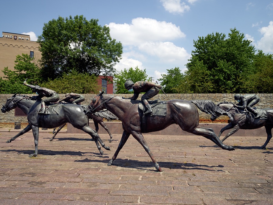
Sculptures in Thoroughbred Park in downtown Lexington, the second-largest city in the Mid-South U.S. city of Lexington, Kentucky
Highsmith, Carol M, 2020. Library of Congress
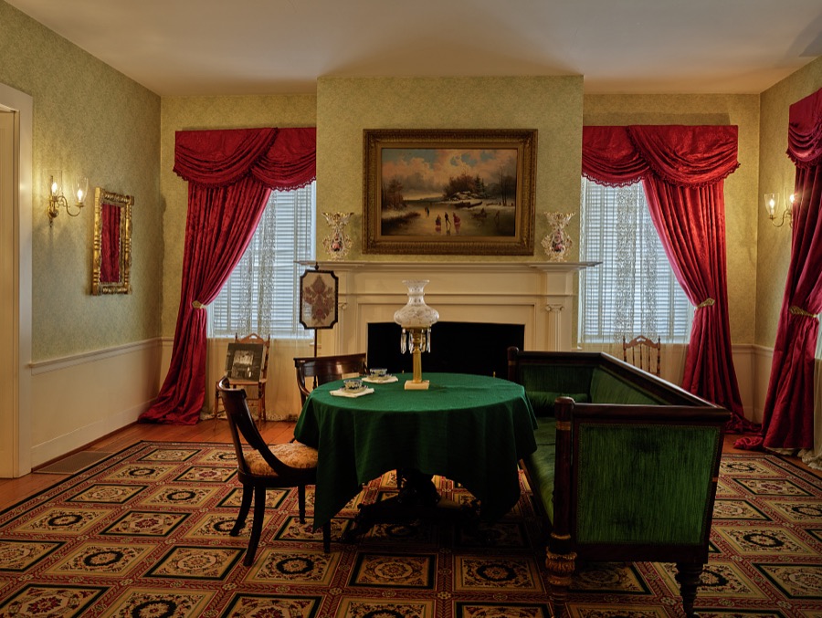
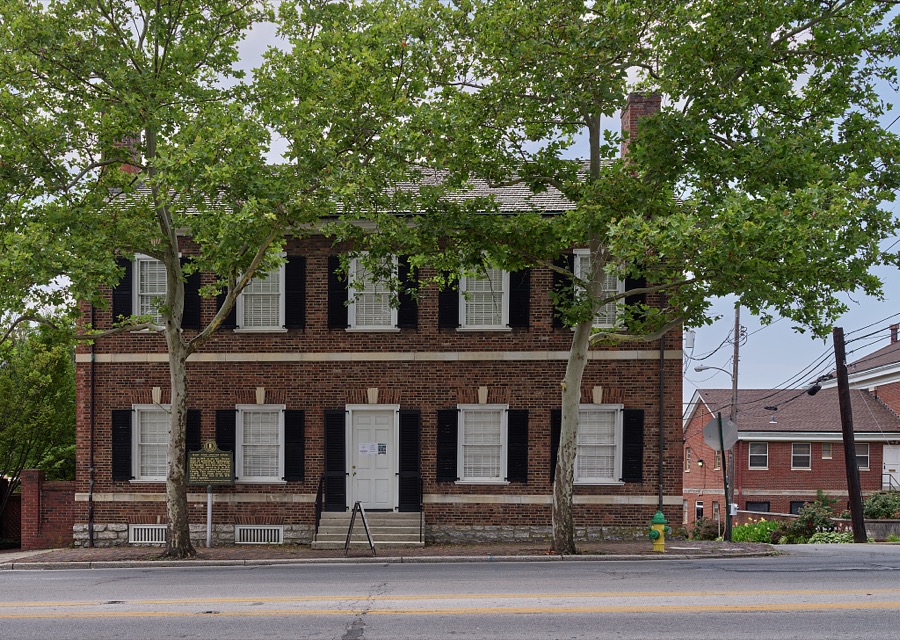
One of three first-floor parlors at the teen-years home of Mary Todd Lincoln, once an elegant inn, in Lexington, Kentucky
Highsmith, Carol M, 2020. Library of Congress
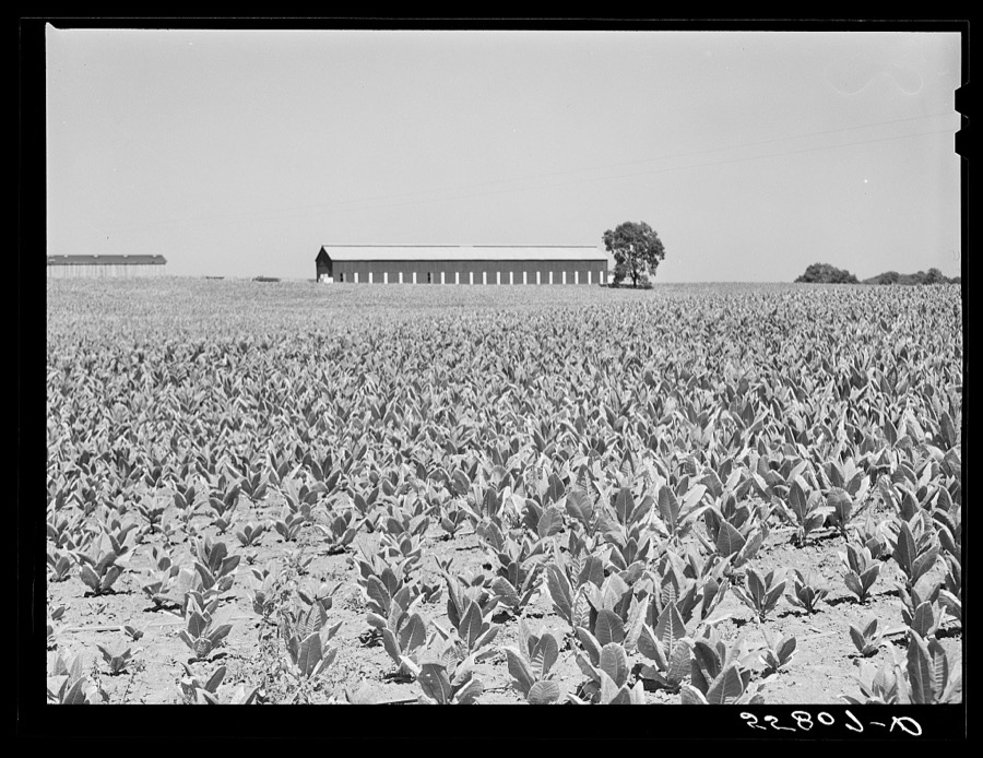
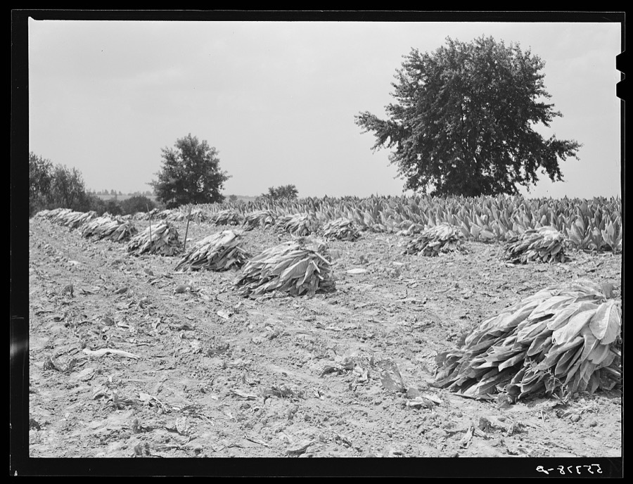
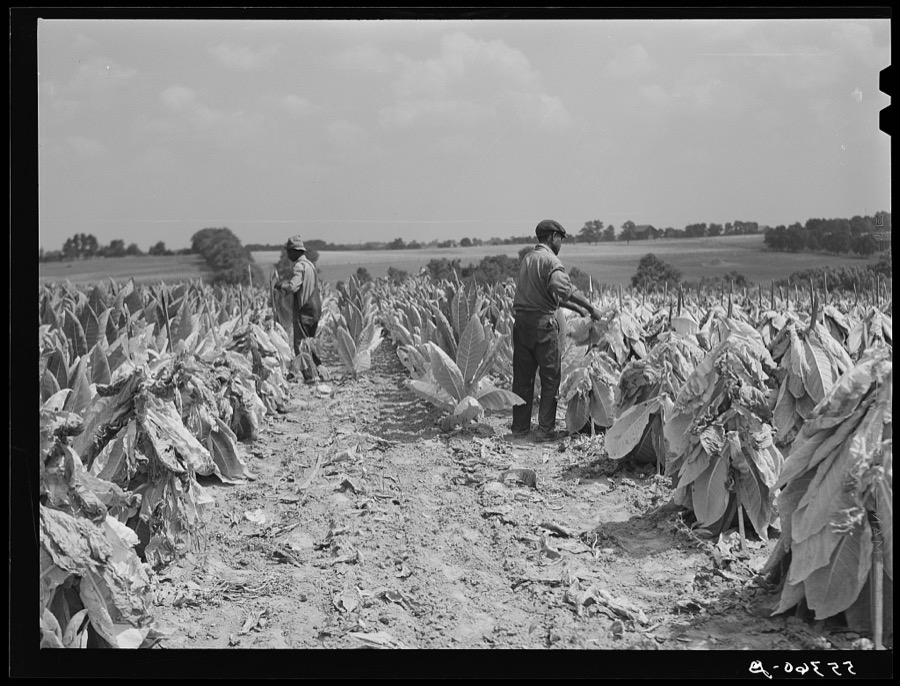
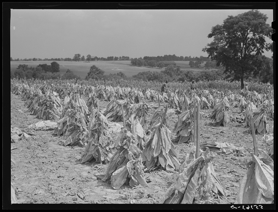
Burley tobacco, unusually small and poor crop because of drought. Tobacco farm near Lexington, Kentucky
Wolcott, Marion Post, 1940. Library of Congress
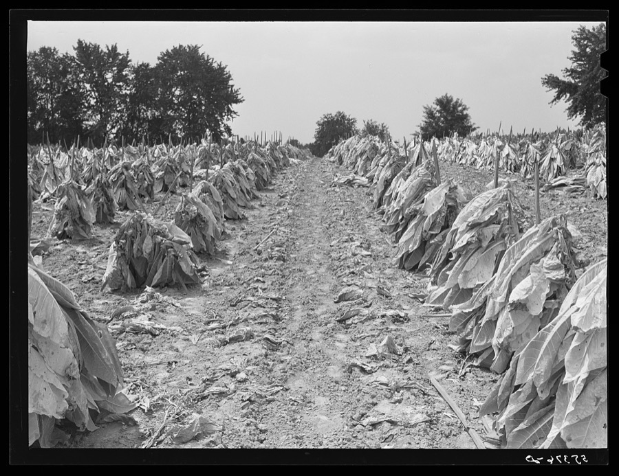
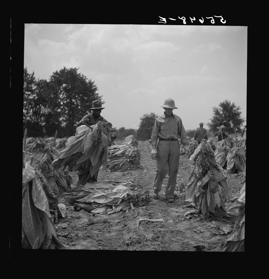
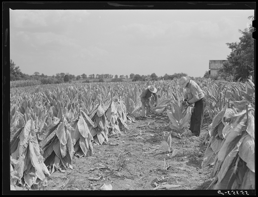
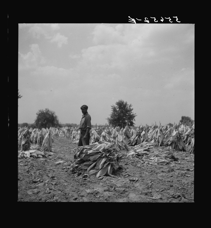
Burley tobacco is placed on sticks to wilt after cutting before it is taken into barn for drying and curing. Russell Spear's farm near Lexington, Kentucky
Wolcott, Marion Post, 1940. Library of Congress
[Untitled
[Untitled
Wolcott, Marion Post, 1935. Library of Congress
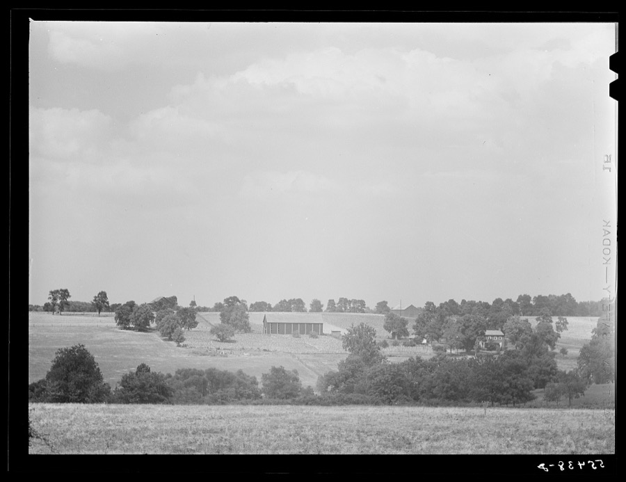
General view of Russell Spear's farm near Lexington, Kentucky
Wolcott, Marion Post, 1940. Library of Congress
[Untitled
[Untitled
Wolcott, Marion Post, 1935. Library of Congress
[Untitled
[Untitled
Wolcott, Marion Post, 1935. Library of Congress
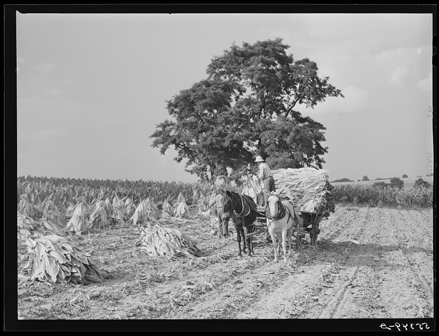
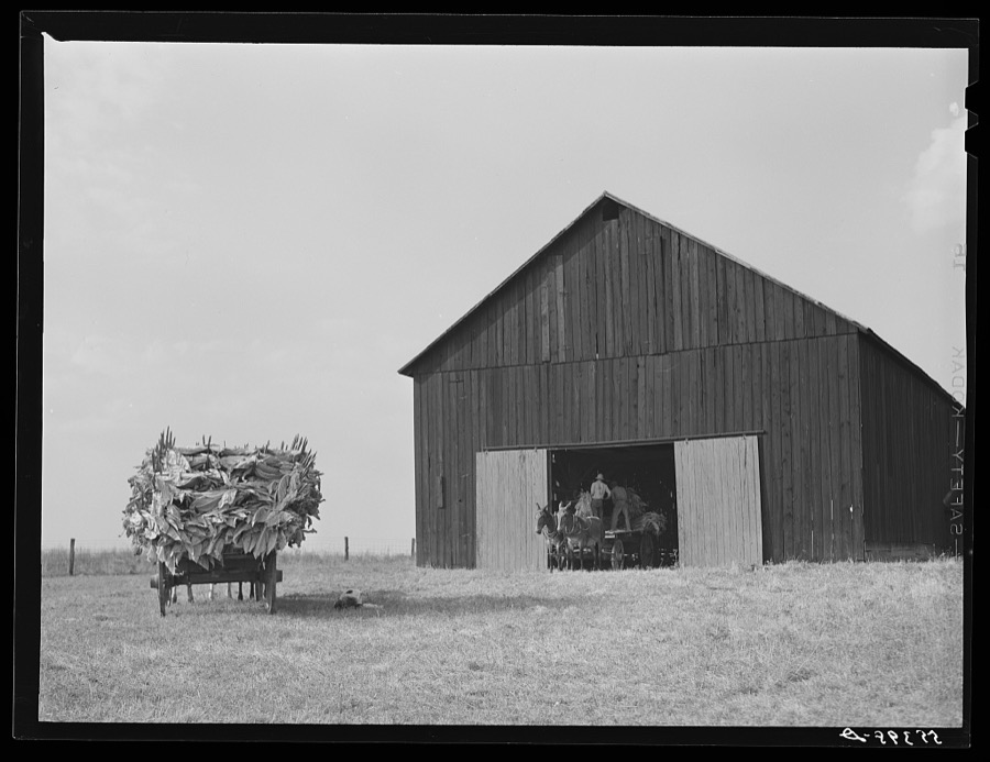
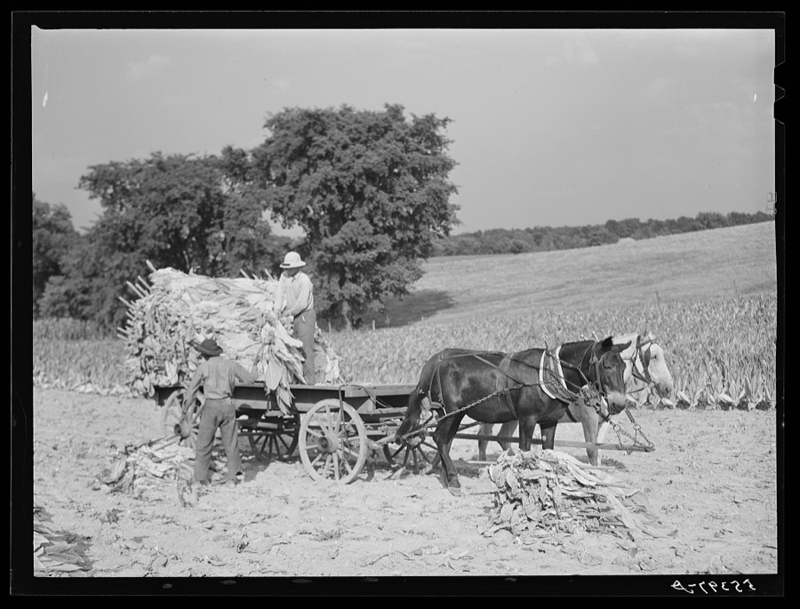
Taking burley tobacco in from the fields after it has been cut to dry and cure in the barn. On Russell Spear's farm near Lexington, Kentucky
Wolcott, Marion Post, 1940. Library of Congress
Burley tobacco is placed on sticks to wilt after cutting before it is taken into barn for drying and curing. Russell Spear's farm near Lexington, Kentucky
Wolcott, Marion Post, 1940. Library of Congress
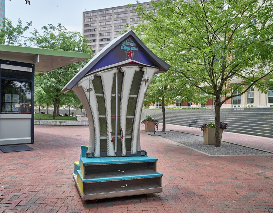
The whimsical Reading Center, a large version of "litle free libraries" where passersby may leave or take a free book, in the courtyard of Triangle Park in downtown Lexington, Kentucky
Highsmith, Carol M, 2020. Library of Congress
View of the teen-years home of Mary Todd Lincoln, wife of the martyred U.S. president Abraham Lincoln, in Lexington, Kentucky
Highsmith, Carol M, 2020. Library of Congress
[Untitled
[Untitled
Wolcott, Marion Post, 1935. Library of Congress
[Untitled
[Untitled
Wolcott, Marion Post, 1935. Library of Congress
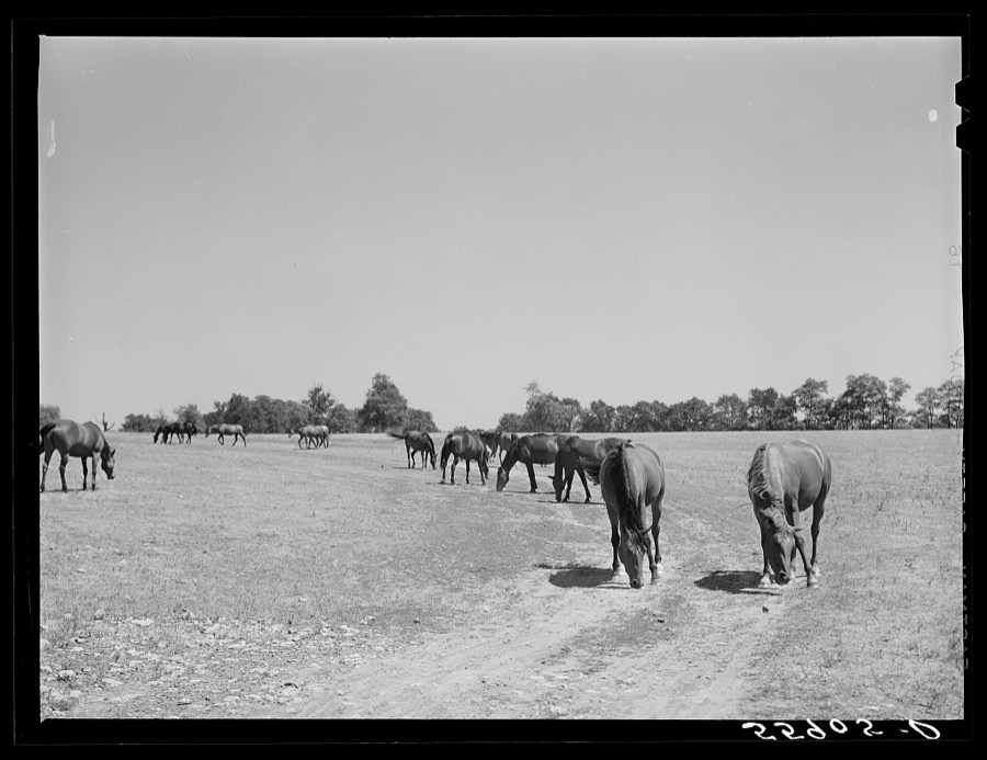
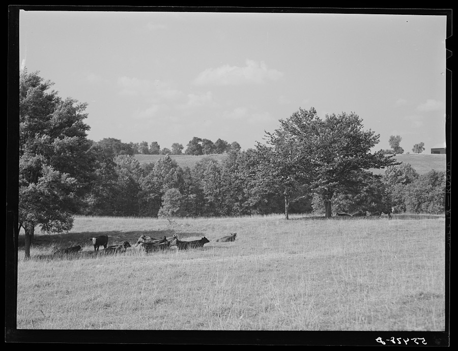
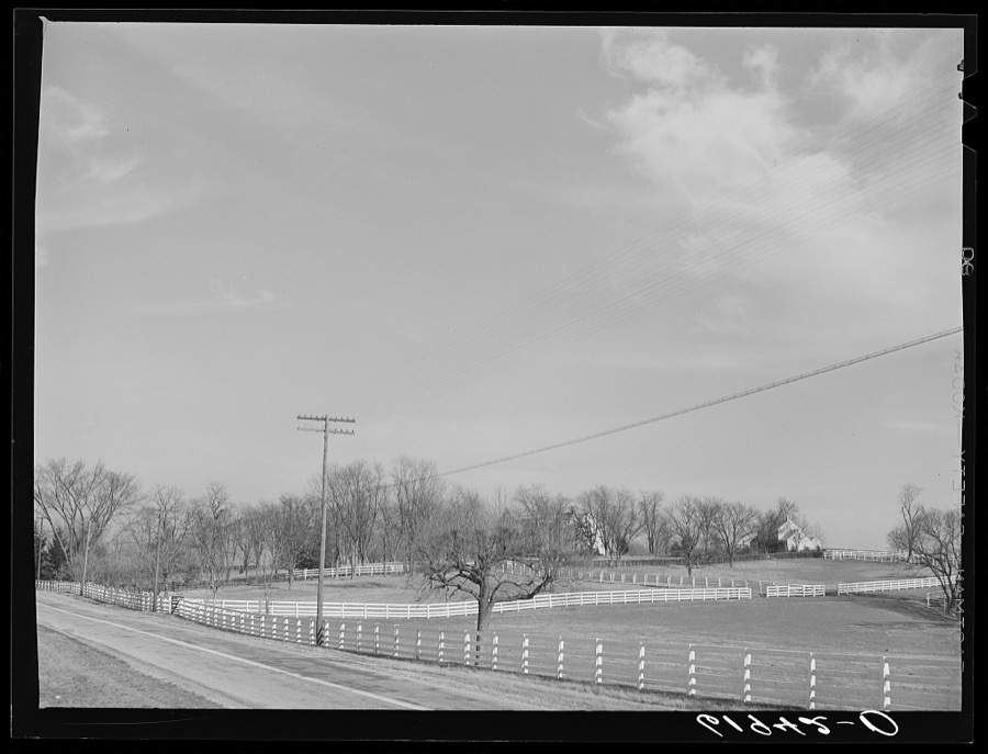
Horse farm in Bluegrass country. Fayette County, Kentucky
Vachon, John, 1940. Library of Congress
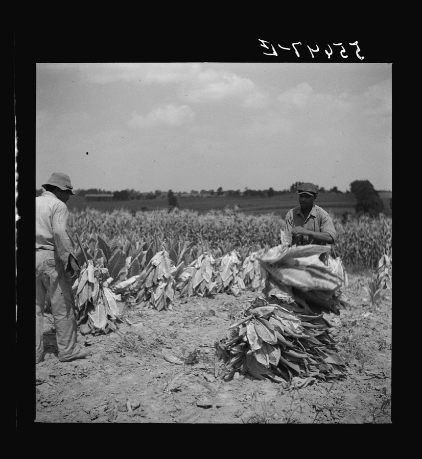
Cutting burley tobacco and putting it on sticks to wilt before taking it into curing and drying barn. Russell Spear's farm, near Lexington, Kentucky
Wolcott, Marion Post, 1940. Library of Congress
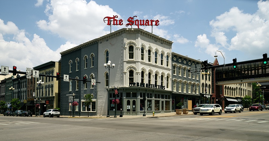
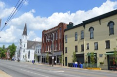
A downtown business block called The Square in Lexington, the second-largest city in the Mid-South U.S. city of Lexington, Kentucky
Highsmith, Carol M, 2020. Library of Congress
[Untitled
[Untitled
Wolcott, Marion Post, 1935. Library of Congress
[Untitled
[Untitled
Wolcott, Marion Post, 1935. Library of Congress
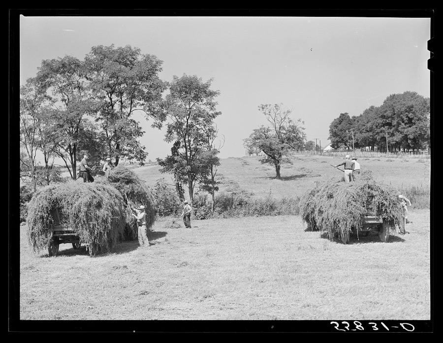
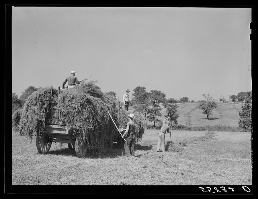
Taking in hay on horse breeding farm near Lexington, Kentucky
Wolcott, Marion Post, 1940. Library of Congress
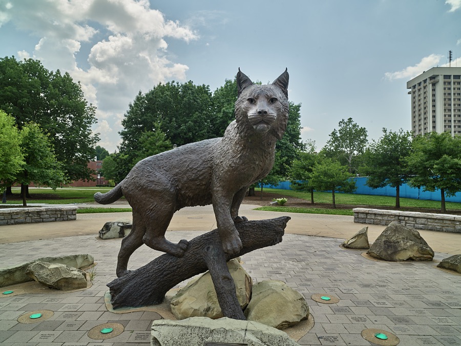
Wildcat sculpture on the campus of the University of Kentucky in Lexington
Highsmith, Carol M, 2020. Library of Congress
Burley tobacco is placed on sticks to wilt after cutting before it is taken into barn for drying and curing. Russell Spear's farm near Lexington, Kentucky
Wolcott, Marion Post, 1940. Library of Congress
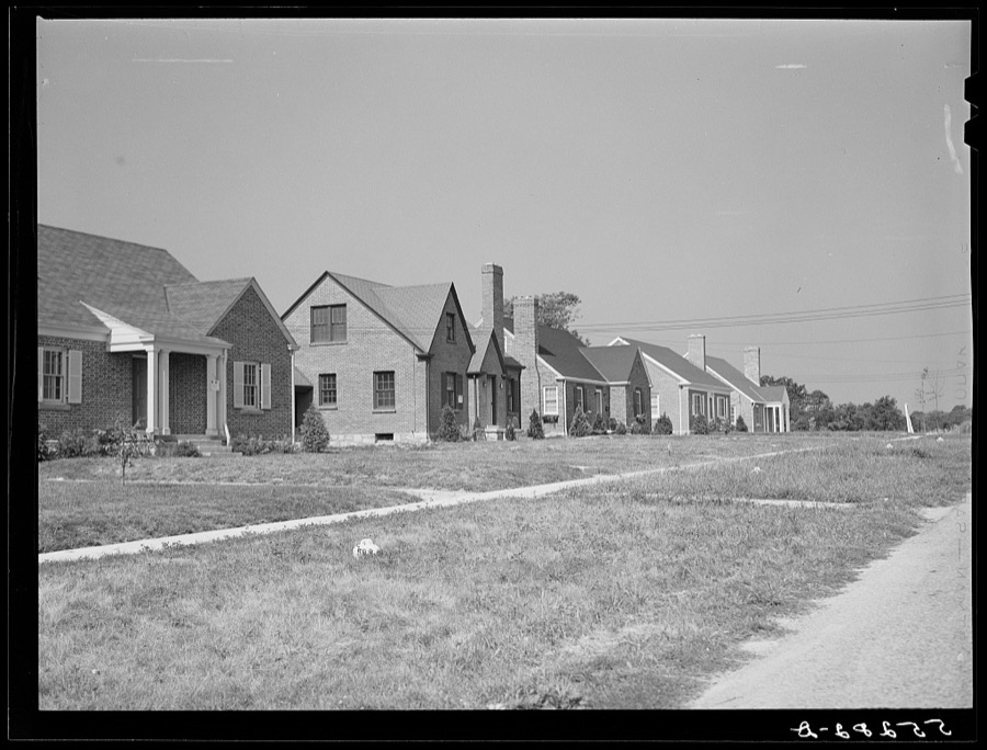
New homes in Lexington, Kentucky
Wolcott, Marion Post, 1940. Library of Congress
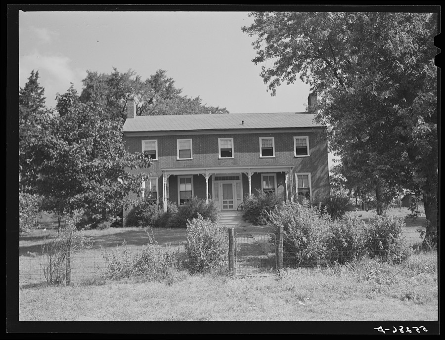
Old home on Russell Spear's farm near Lexington, Kentucky
Wolcott, Marion Post, 1940. Library of Congress
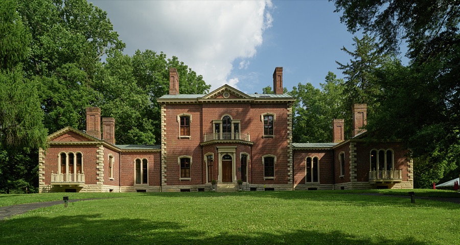
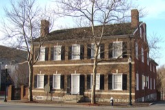
The manor home at Ashland, built in 1811 for renowned statesman Henry Clay, who served as a U.S. representative, senator, and thrice-defeated candidate for president
Highsmith, Carol M, 2020. Library of Congress
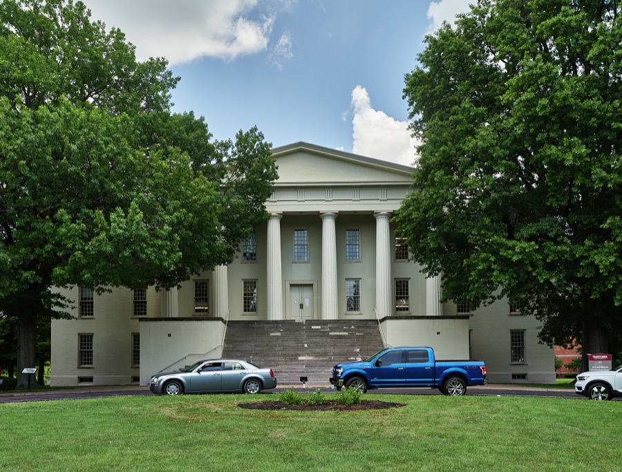
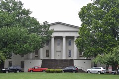
Old Morrison, the signaure administration building at Transylvania University in Lexington, Kentucky
Highsmith, Carol M, 2020. Library of Congress
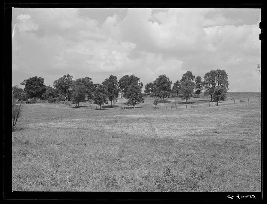
Kentucky Bluegrass county. Fayette County
Vachon, John, 1940. Library of Congress
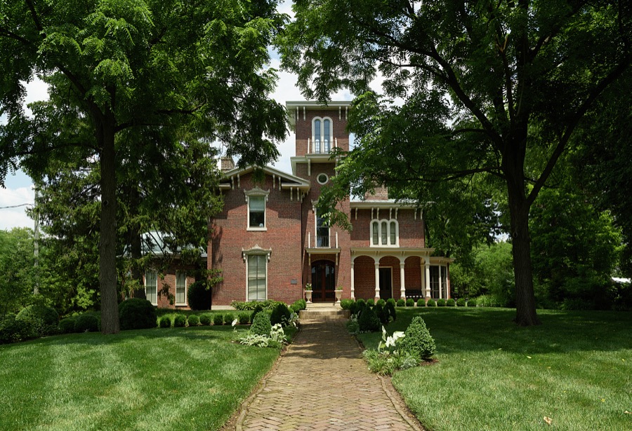
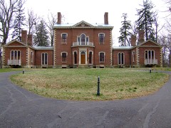
Parker Place, an Italianate-style mansion built in 1871 for banker John Wilgus in Lexington, Kentucky
Highsmith, Carol M, 2020. Library of Congress
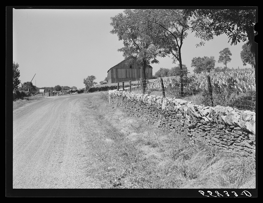
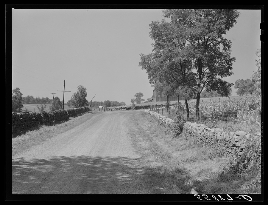
Old stone wall with tobacco and tobacco barn in bluegrass region near Lexington, Kentucky
Wolcott, Marion Post, 1940. Library of Congress
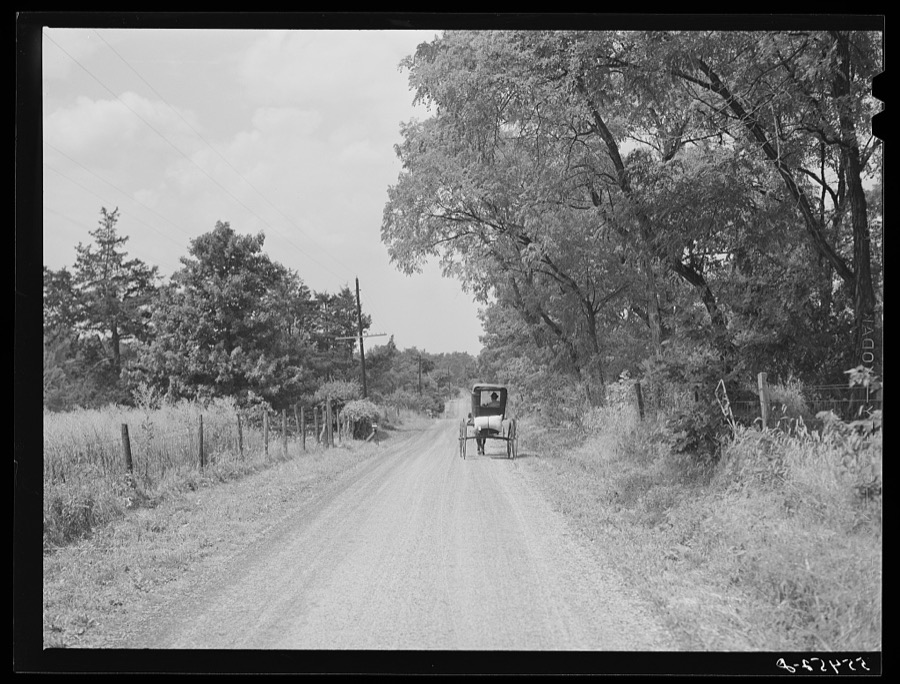
Farmer taking home sack of feed on the back of his buggy. Saturday afternoon near Lexington, Kentucky
Wolcott, Marion Post, 1940. Library of Congress
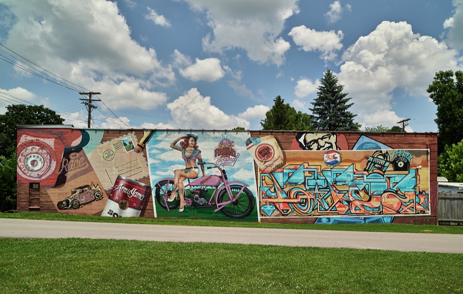
A colorful triptych mural in Lexington, Kentucky
Highsmith, Carol M, 2020. Library of Congress
cutting burley tobacco and putting it on sticks to wilt before taking it into curing and drying barn. Russell Spear's farm, near Lexington, Kentucky
Wolcott, Marion Post, 1940. Library of Congress
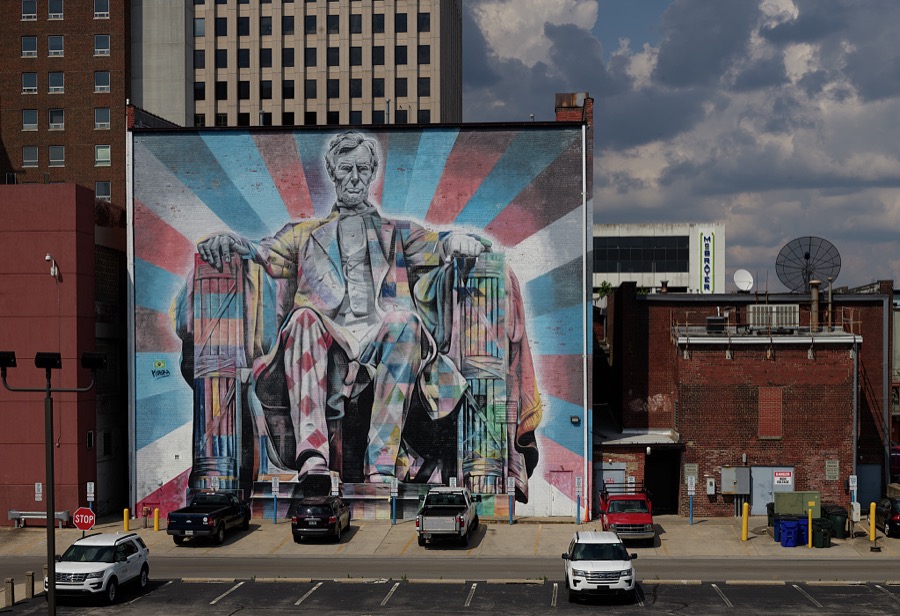
One of several downtown murals in Lexington, Kentucky
Highsmith, Carol M, 2020. Library of Congress
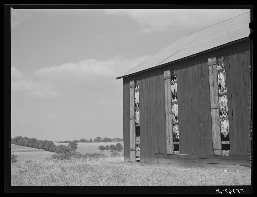
Barn full to tobacco on Russell Spear's farm near Lexington, Kentucky
Wolcott, Marion Post, 1940. Library of Congress
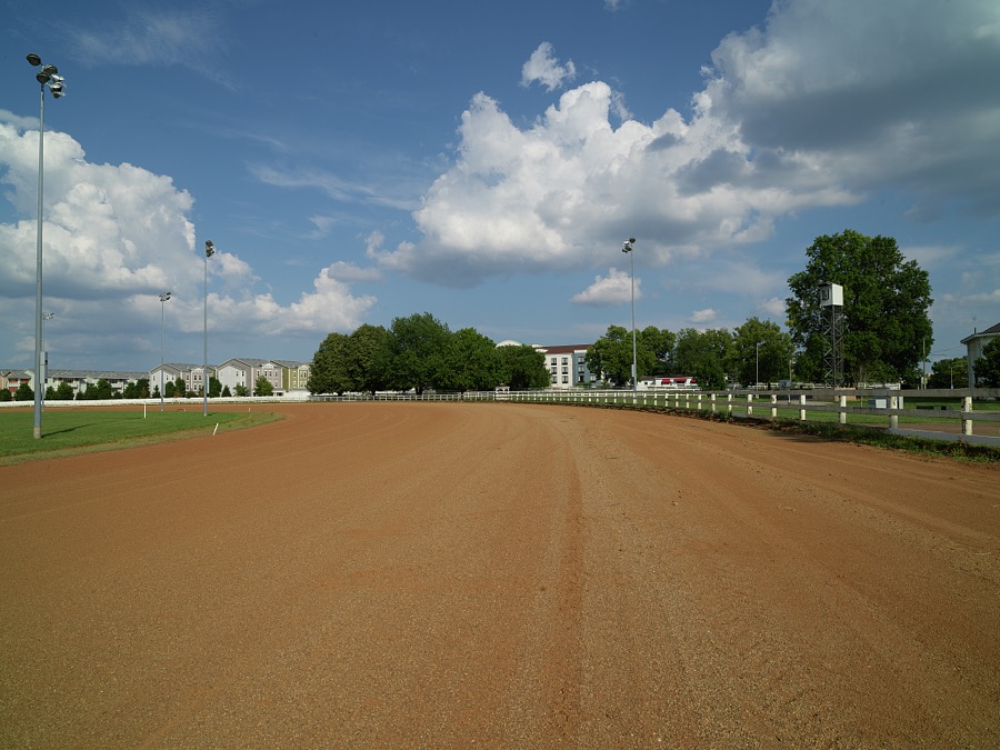
Part of the red-clay Red Mile, a legendary racetrack for Standardbred trotting horses, which began operation in 1875 in Lexington, Kentucky
Highsmith, Carol M, 2020. Library of Congress
Taking in hay on horse breeding farm near Lexington, Kentucky
Wolcott, Marion Post, 1940. Library of Congress
[Untitled
[Untitled
Wolcott, Marion Post, 1935. Library of Congress
[Untitled
[Untitled
Wolcott, Marion Post, 1935. Library of Congress
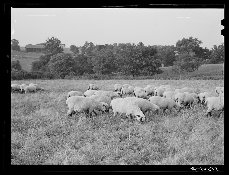
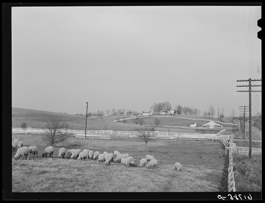
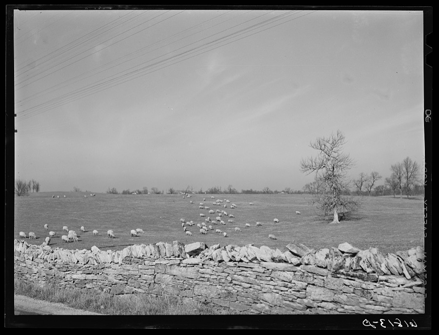
Sheep. Fayette County, Kentucky
Vachon, John, 1940. Library of Congress
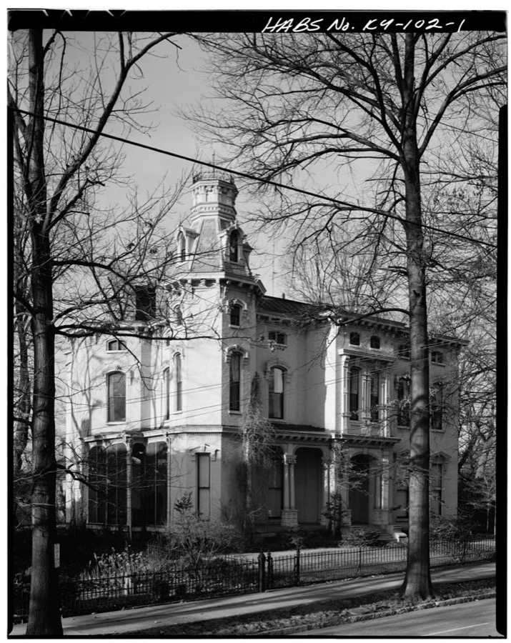
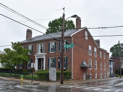
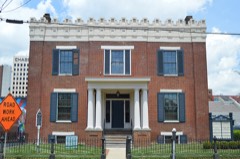
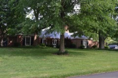
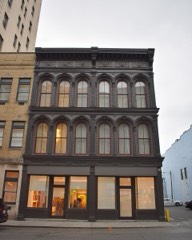
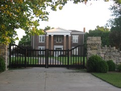
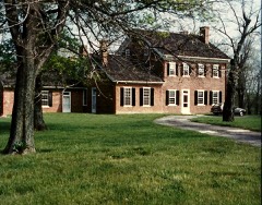
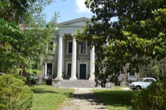
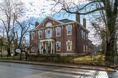
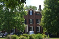
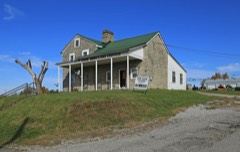
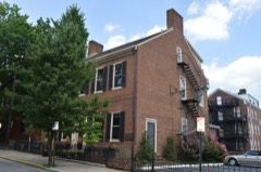
William Talbert House, 215 North Mill Street, Lexington, Fayette County, KY
Photographer not recorded. Library of Congress
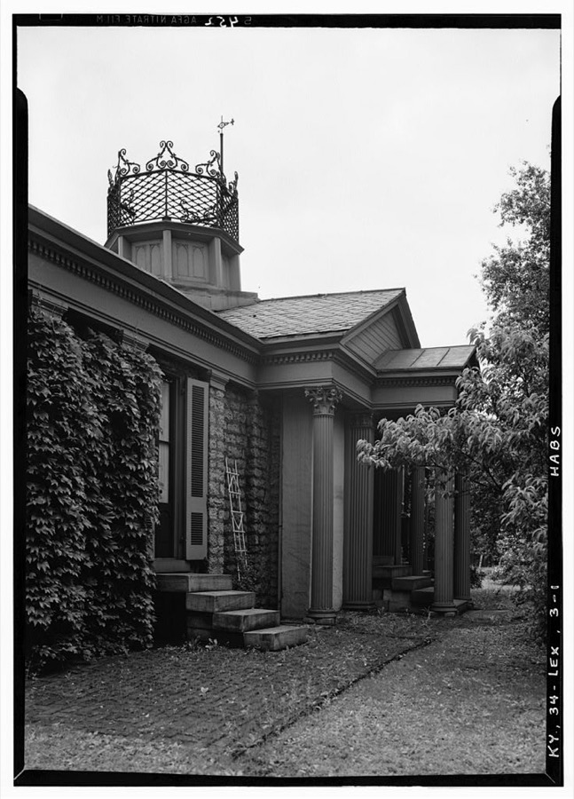
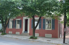
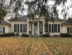
Botherum, 341 Madison Place, Lexington, Fayette County, KY
Photographer not recorded. Library of Congress
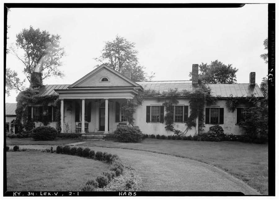
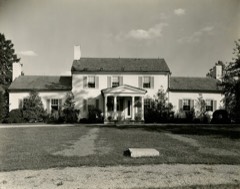
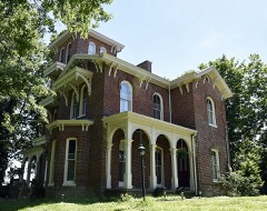
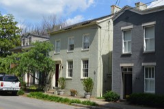
Malvern Hill, Georgetown Road, Lexington, Fayette County, KY
Photographer not recorded. Library of Congress
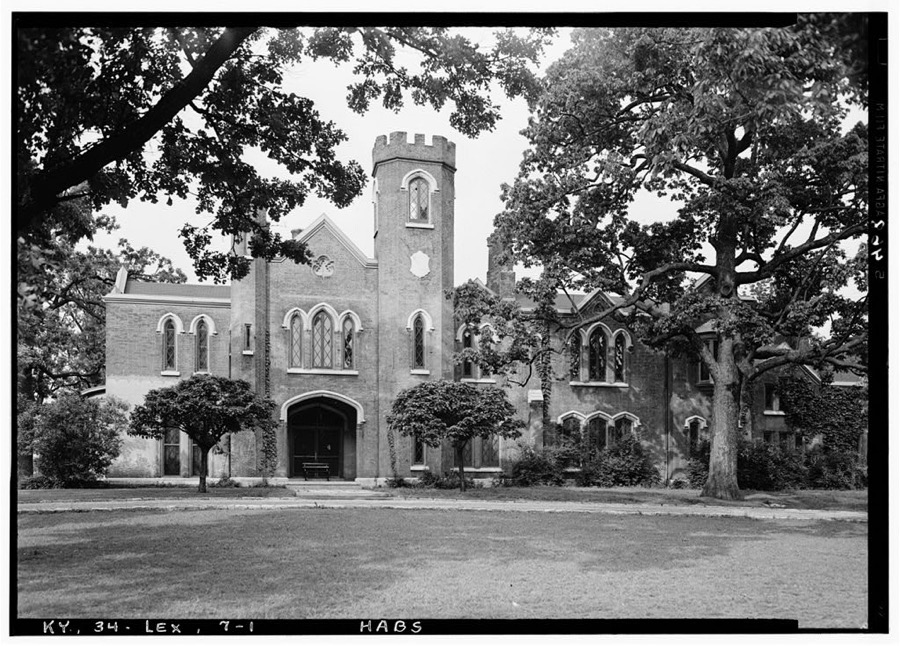
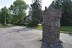
Loudoun, Bryan Avenue, Lexington, Fayette County, KY
Photographer not recorded. Library of Congress

Places on the National Register

175

Every property in this county listed on the National Register of Historic Places, with the year it was listed and the federal nomination document.

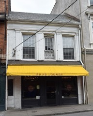
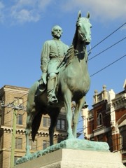
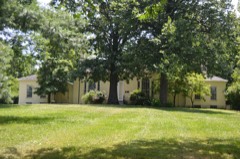
Photograph PropertyType ListedReference
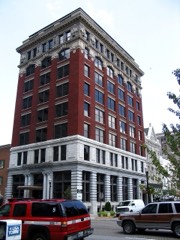
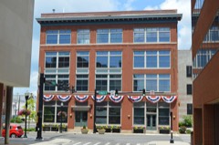
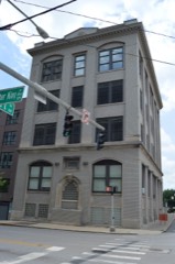
African Cemetery No. 2site200404000245
Allen, James Housebuilding198282001564
Ashlandbuilding196666000357
Ashland Park Historic Districtdistrict198686000755
Athens Historic Districtdistrict197979000971
Abraham Barton Housebuilding197777000611
T. D. Basye Housebuilding198787001886
Bates Log Housebuilding198282002683
James Burnie Beck Housebuilding198282002684
Bell Court Neighborhood Historic Districtdistrict198080001507
Bell Placebuilding197878001312
John Bell Housebuilding198383002757
Boone Creek Rural Historic Districtdistrict199494000839
Botherumbuilding197373000795
Bowman Housesbuilding197979000973
Bowman Mill Road Rural Historic Districtdistrict199999000901
Brand-Barrow Housebuilding197676000866
John C. Breckinridge Memorialobject199797000705
Joshua Brown Housebuilding197979000974
Buenna Hillbuilding198383002758
John Burrier Housebuilding198383002759
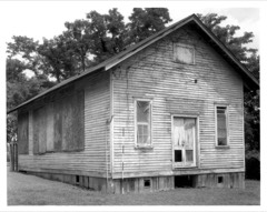
Cadentown Schoolbuilding200606000213
Cave Placebuilding198080001508
Cave Springbuilding197878001313
Central Christian Churchbuilding197979000975
Central Kentucky Blue Grass Seed Co.building200505000790
Chandler Normal School Building and Webster Hallbuilding198080001509
Christ Church Episcopalbuilding197676000867
Clark Hardware Company Buildingbuilding197979000976
John Clark Housebuilding198080001510
Henry Clay Law Officebuilding197171000340
Cleveland-Rogers Housebuilding198080001511
Cloud Housebuilding198282002685
William Conant Housebuilding199191000123
Confederate Soldier Monument in Lexingtonobject199797000703
Constitution Historic Districtdistrict198282002686
Corinthiabuilding198383002760
DeLong Agricultural Implements Warehousebuilding198080001512
Deltabuilding197878001314
Douglass Schoolbuilding199898000933
Downtown Commercial Districtdistrict198383000559
Edgewoodbuilding201616000494
Elley Villabuilding197878001315
Elmendorfdistrict2023100008737
Elsmere Park Historic Districtdistrict197676000868
Episcopal Burying Ground and Chapelsite197676000869
Fairlawnbuilding197676000870
Fayette National Bank (Boundary Increase)building201414000016
Fayette National Bank Buildingbuilding198080001513
Fayette Safety Vault and Trust Company Buildingbuilding198080001514
Featherston, Edmonson and Clark Housesbuilding198383002761
First African Baptist Churchbuilding198686000854
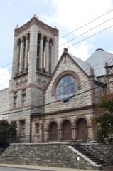
First Presbyterian Churchbuilding197474000861
Floral Hallbuilding197777000612
George W. Grant Housebuilding198080001515
Gratz Park Historic Districtdistrict197373000796
Graves Tavernbuilding198383002766
Grimes House and Mill Complexbuilding198282002687
Hartlandbuilding198787000568
Samuel T. Hayes Housebuilding198080001516
George Headley Housebuilding199191000122
Hal Price Headley Sr. Housebuilding201010000907
Helm Placebuilding197878001318
Higgins Blockbuilding197777000613
Highland Hallbuilding197777000614
Hollywood Terrace Historic Districtdistrict200808000652
Hurricane Hallbuilding197676000871
Innes Housebuilding198383002762
Thomas January Housebuilding197474000862
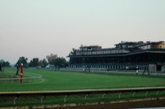
Keeneland-Keeneland Racetrackdistrict198686003487
Matthew Kennedy Housebuilding197373000797
Kinkead Housebuilding198282002688
Henry P. Kinkead Housebuilding198484001411
Ladies' Confederate Memorial, Theobject199797000706
Lemon Hillbuilding197878001319
James Lemon Housesbuilding197474000863
Lewis Manorbuilding197676000872
Lexington Cemetery and Henry Clay Monumentsite197676000873
Lexington City National Bank Buildingbuilding198080001517
Lexington Dry Goods Company Buildingbuilding198888000182
Lexington Herald Buildingbuilding198282001565
Lexington Hospitality Motor Innbuilding2024100010762
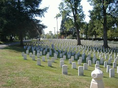
Lexington National Cemeterysite199898001135
Lexington Veterans Administration Hospitaldistrict201212000150
Lexington-Fayette County Government Building Blockbuilding198383002763
Liggett and Meyers Harpring Tobacco Storage Warehousebuilding201313000110
Liggett and Myers Tobacco Re-handling Facilitybuilding200303000261
Mary Todd Lincoln Housebuilding197171000341
Loudoun Housebuilding197373000798
Luigart Malt Housebuilding2025100011307
Mansfieldbuilding198282002689
Courtney Mathews Housebuilding201111000535
Maxwell Placebuilding198282000472
McAdams and Morford Buildingbuilding197373000799
Benjamin McCann Housebuilding198282002690
Neal McCann Housebuilding198282002691
John McCauley Housebuilding198080001518
James McConnell Housebuilding198383002764
William McConnell Housebuilding198383002765
McCracken-Wilgus Housebuilding197878001320
Dr. John McGarvey Housebuilding197474000864
Charles McPheeters Housebuilding197474000865
Mentelle Housebuilding2025100012239
Mentelle Parkdistrict198585002973
Middle Reaches of Boone Creek Rural Historic Districtdistrict199696000429
Miller Brothers Buildingbuilding198080001519
Monsieur Giron's Confectionarybuilding197474000866
Moore-Redd-Frazer Housebuilding197676000875
John Hunt Morgan Memorialobject199797000704
Will Morton Tavern Standbuilding197878001321
William Morton Housebuilding197575000750
North Broadway-Short Street Historic Districtdistrict198383000560
North Limestone Commercial Districtdistrict198383003652
Northeast Residential Historic Districtdistrict198585003151
Northside Historic Residential Districtbuilding197979000977
Northside Residential Historic District (Boundary Increase)district198282002692
Odd Fellows Templebuilding198080001520
Old Morrison, Transylvania Collegebuilding196666000358
Opera House and Yates Bookshop Buildingbuilding197575000752
Henry Payne Housebuilding198383002767
Pensacola Park Historic Districtdistrict2020100005303
Peoples Federal Savings and Loan Associationbuilding201615000650
James E. Pepper Distillerybuilding200909000006
James Pettit's Millbuilding198383002768
William Poindexter Housebuilding197474000867
Pope Villabuilding201805000785
Poplar Grovebuilding198282002693
Pugh Price Housebuilding197979000978
Williamson Price Housebuilding197979000979
Lewis Ramsey Jr. Housebuilding199191000121
Randall Building Bogaert's Jewelry Storebuilding198282002694
Redd Road Rural Historic Districtdistrict199191000153
Ridgely Housebuilding197373000800
Joseph Hale Rogers Housebuilding197979000980
Rose Hillbuilding197474000868
Robert Russel Housebuilding198383002769
Russell Schoolbuilding200606000215
Sayre Female Institutebuilding198282002695
Drs. George W. & Margaret Schwert Housebuilding2024100010248
Scott and Wilson Houses Districtdistrict197474000869
Second Presbyterian Churchbuilding198080001522
Shady Sidebuilding197676000876
Shelby Family Housesdistrict197878001322
Frederick Shryack Housebuilding198383002770
Mitchell Baker Smith Company Buildingbuilding198080001523
South Hill Historic Districtdistrict197878001323
Southeast Greyhound Line Buildingbuilding201413001048
Southeast Lexington Residential and Commercial Districtdistrict198484001415
Southern Railway Passenger Depotbuilding198787001364
Spindletop Farmdistrict201212000447
Spring Hill Farmbuilding197878001324
Springview Farmdistrict201212000448
Drewsilla Steele Housebuilding199191000120
Stony Pointbuilding197979000981
William Lytle Todd Housebuilding197979000982
Trail's End Campsite2019100004120
Trotter's Warehousebuilding197676000877
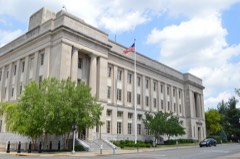
United States Post Office and Court Housebuilding199999000335
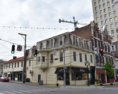
Victorian Commercial Blockdistrict197878001325
Walnut Hill Presbyterian Churchbuilding197373000801
Dr. Walter Warfield Buildingbuilding198080001524
Thomas B. Watkins Housebuilding198282002696
Henry Watt Housebuilding197777000615
Wavelandbuilding197171000342
West Fayette County Rural Historic Districtdistrict199191000154
Western Suburb Historic Districtdistrict197676000878
Wolf Wile Department Store Buildingbuilding199696000795
Woodlandbuilding197575000753
Woodlands Historic Districtdistrict198383002771
Woodstockbuilding197575000754
Woodward Heights Neighborhood Historic Districtdistrict198080001525
F.W. Woolworth Buildingbuilding200202000924
Worley, Allen, and Foushee Housesbuilding197676000879
Charles Young Park and Community Centerbuilding201615000413

Digitised newspapers

20 issues

Sampled issues, machine-read from the Library of Congress scan and published page by page, so every headline and column is searchable text.

The Kentucky Gazette

Lexington [Ky.], 1789 to 1803. Machine-read from the Library of Congress scan.

Kentucky Gazette

[Lexington, Ky.], 1809 to 1848. Machine-read from the Library of Congress scan.

The Kentucke Gazette

Lexington [Ky.], 1787 to 1789. Machine-read from the Library of Congress scan.

The Lexington Standard

Lexington, Ky., 1892 to 1912. Machine-read from the Library of Congress scan.

The Kentucky Gazette

Lexington, Ky., 1866 to 1907. Machine-read from the Library of Congress scan.

Kentucky Gazette and General Advertiser

Lexington [Ky.], 1803 to 1809. Machine-read from the Library of Congress scan.

Lexington Weekly News

Lexington, Ky., 1912 to 19??. Machine-read from the Library of Congress scan.

The Lexington Record

Lexington, Ky., 1890 to 1???. Machine-read from the Library of Congress scan.

Blue-Grass Blade

Lexington, Ky., 188? to 19??. Machine-read from the Library of Congress scan.

Bird's-eye views and land ownership maps

4

Drawn when these were printed as single large sheets: the town seen from the air, and the county divided into its farms with every owner named. Each opens the original at the Library of Congress.

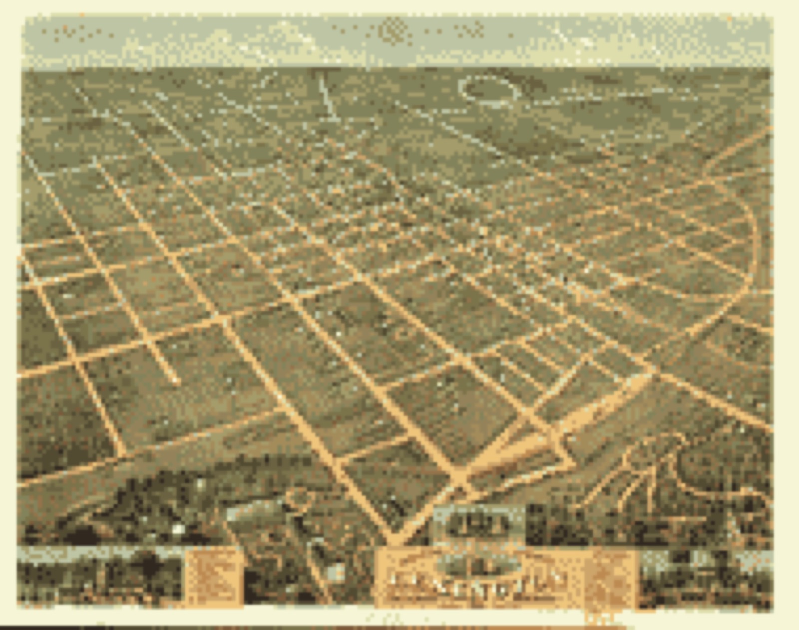
Bird's-eye view, 1871 - Bird's eye view of the city of Lexington, Fayette County, Kentucky 1871
Bird's-eye view (1871) - Bird's eye view of the city of Lexington, Fayette County, Kentucky 1871. Library of Congress.
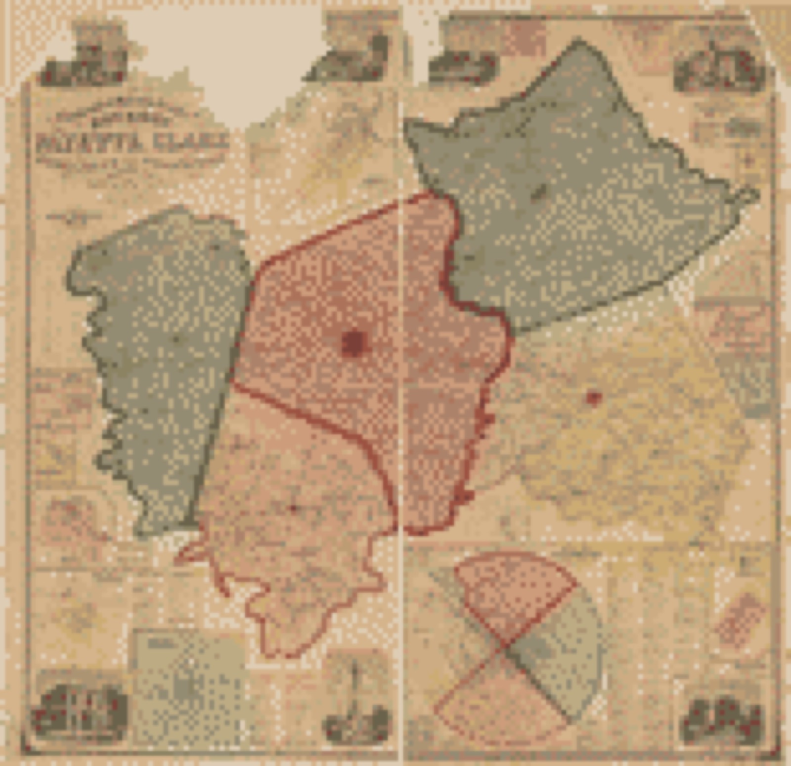
Land ownership map, 1877 - Atlas of Bourbon, Clark, Fayette, Jessamine and Woodford Counties, Ky
Land ownership map (1877) - Atlas of Bourbon, Clark, Fayette, Jessamine and Woodford Counties, Ky. Library of Congress.
Land ownership map, 1861 - Topographical map of the counties of Bourbon, Fayette, Clark, Jessamine, and Woodford, Kentucky from actual surveys
Land ownership map (1861) - Topographical map of the counties of Bourbon, Fayette, Clark, Jessamine, and Woodford, Kentucky from actual surveys. Library of Congress.
Land ownership map, 1891 - Map of Fayette County, Kentucky
Land ownership map (1891) - Map of Fayette County, Kentucky. Library of Congress.

Photographs from libraries nationwide

32 of 43 shown

Selected from the Digital Public Library of America's 43 image records catalogued for this county. Every one shown here carries a public-domain status or a licence that permits reuse on a site that carries advertising; non-commercial, share-alike and restricted images are excluded. The selection is spread across the county's towns (at most eight per town), so no single institution's bulk upload crowds out the rest. Each opens the holding library's record, and the complete set at the Digital Public Library of America is one click away.

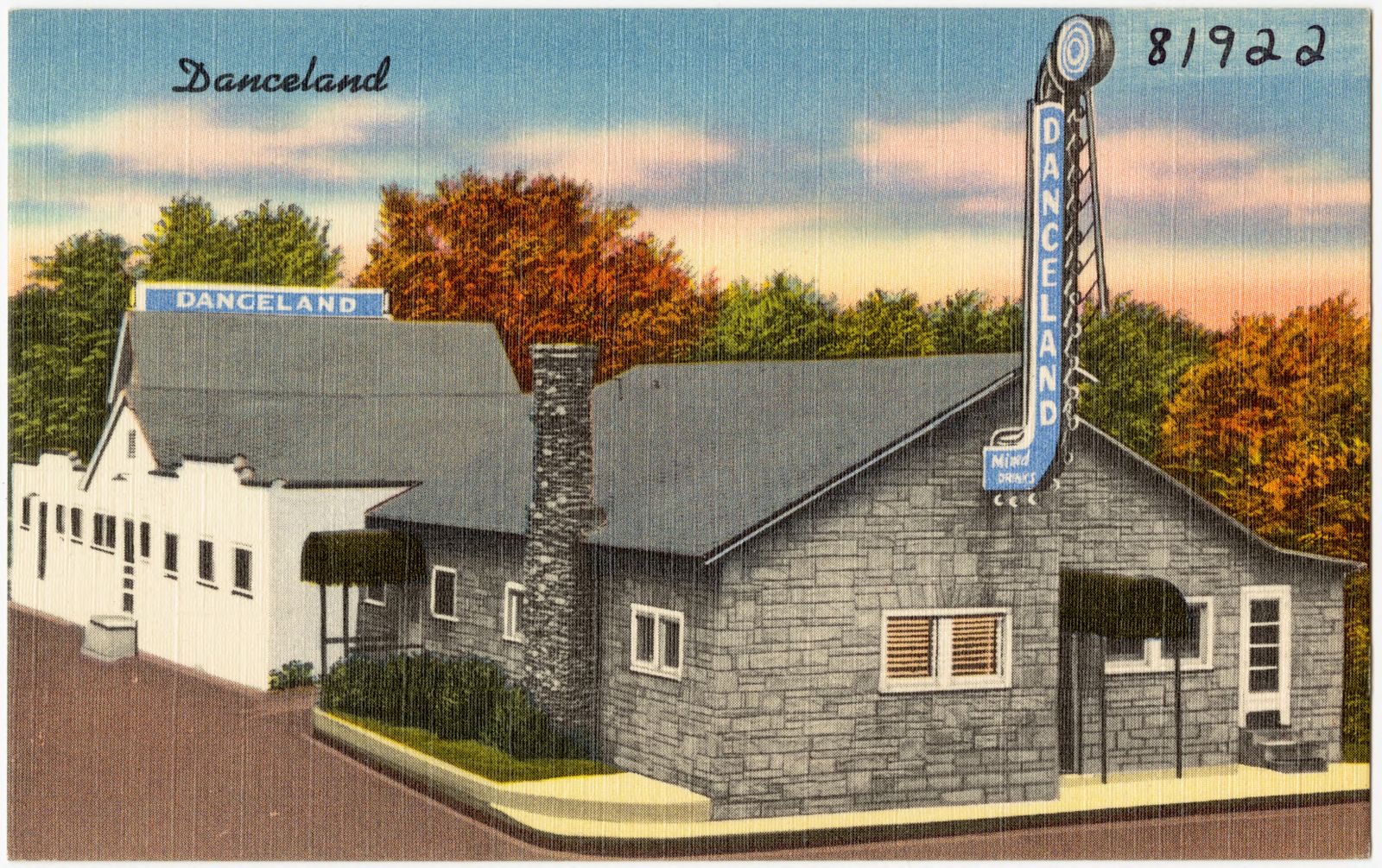
Danceland, Old Frankfort Pike, Lexington, Ky., Boston Public Library - undated
Danceland, Old Frankfort Pike, Lexington, Ky.. Boston Public Library, via the Digital Public Library of America.
The Springs Motel, the largest finest in the South, one mile south of Lexington, Kentucky, Boston Public Library - undated
The Springs Motel, the largest finest in the South, one mile south of Lexington, Kentucky. Boston Public Library, via the Digital Public Library of America.
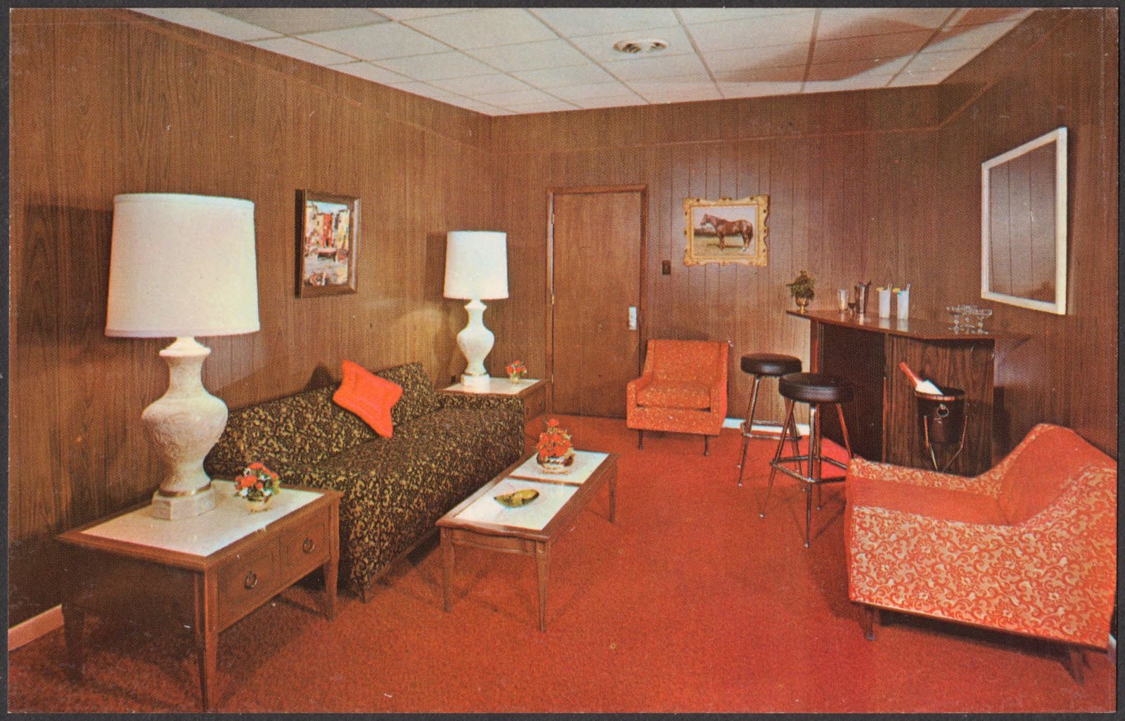
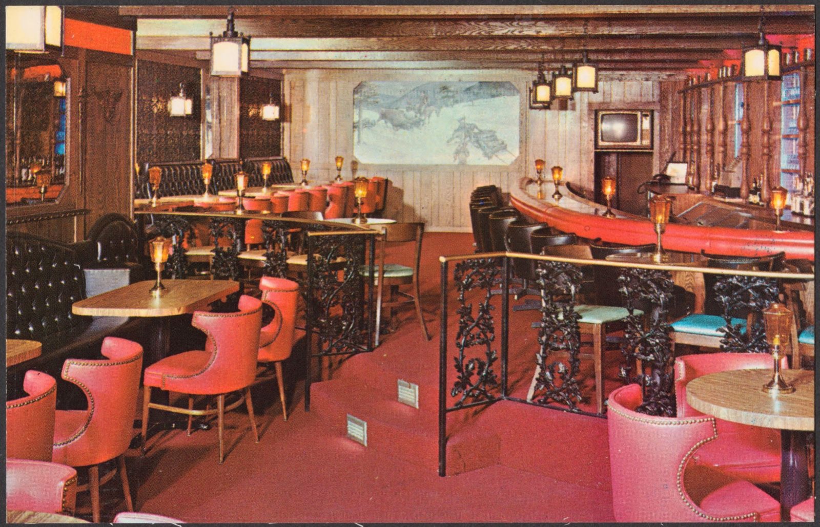
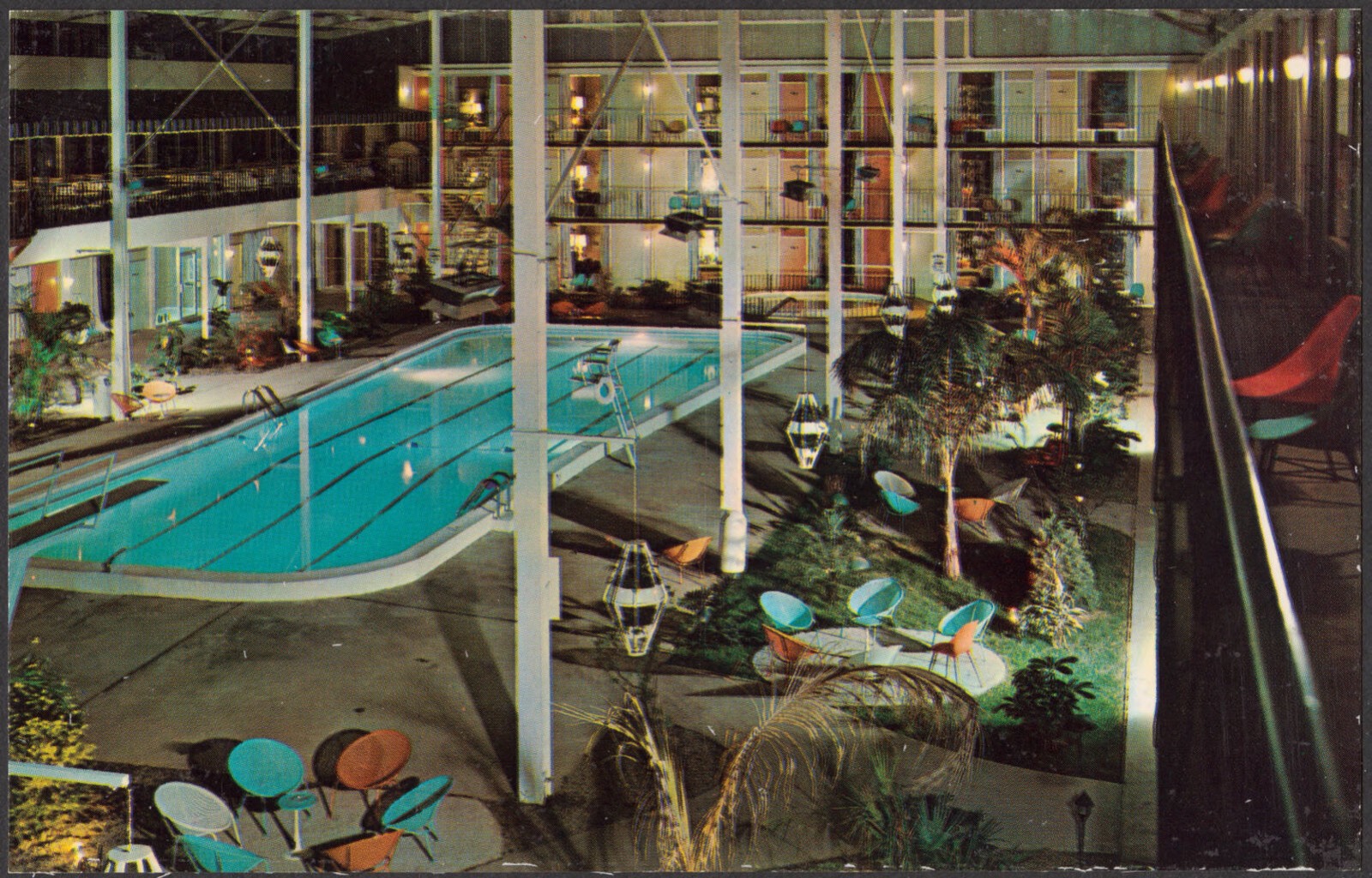
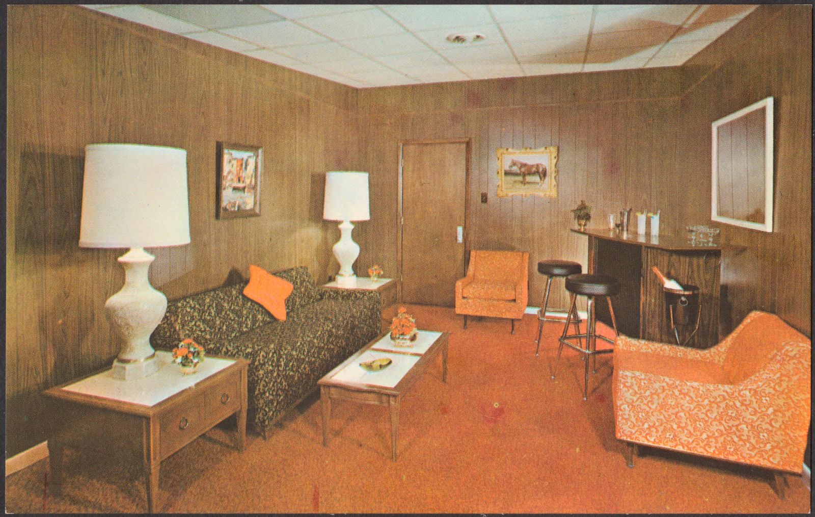
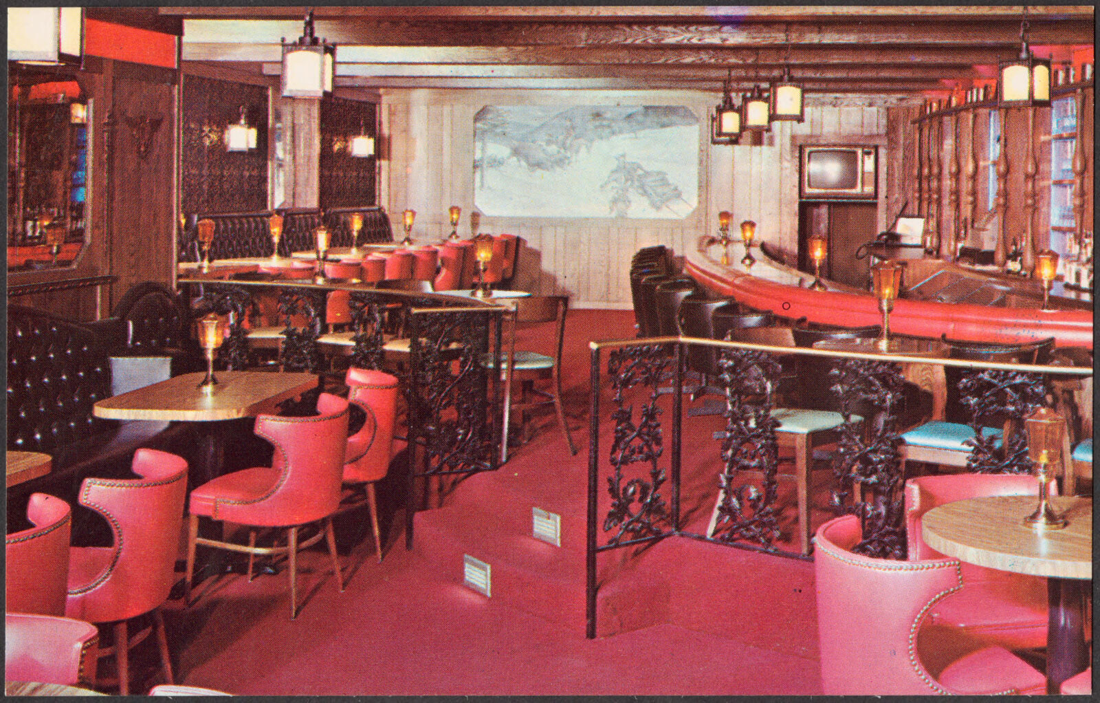
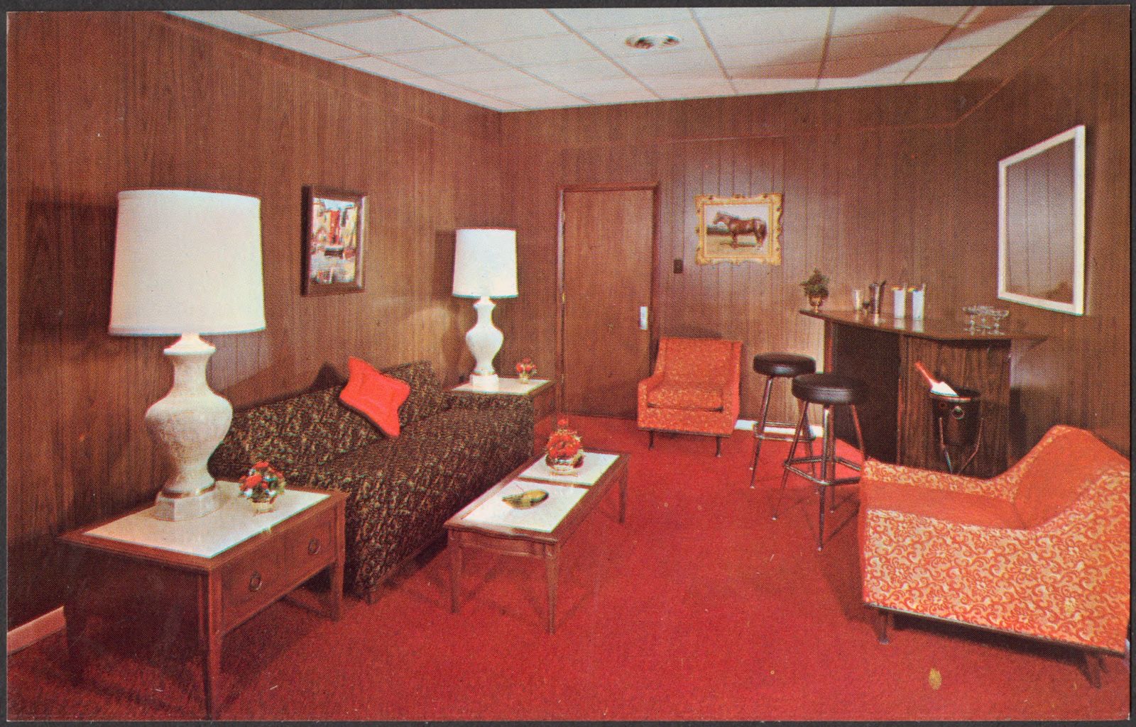
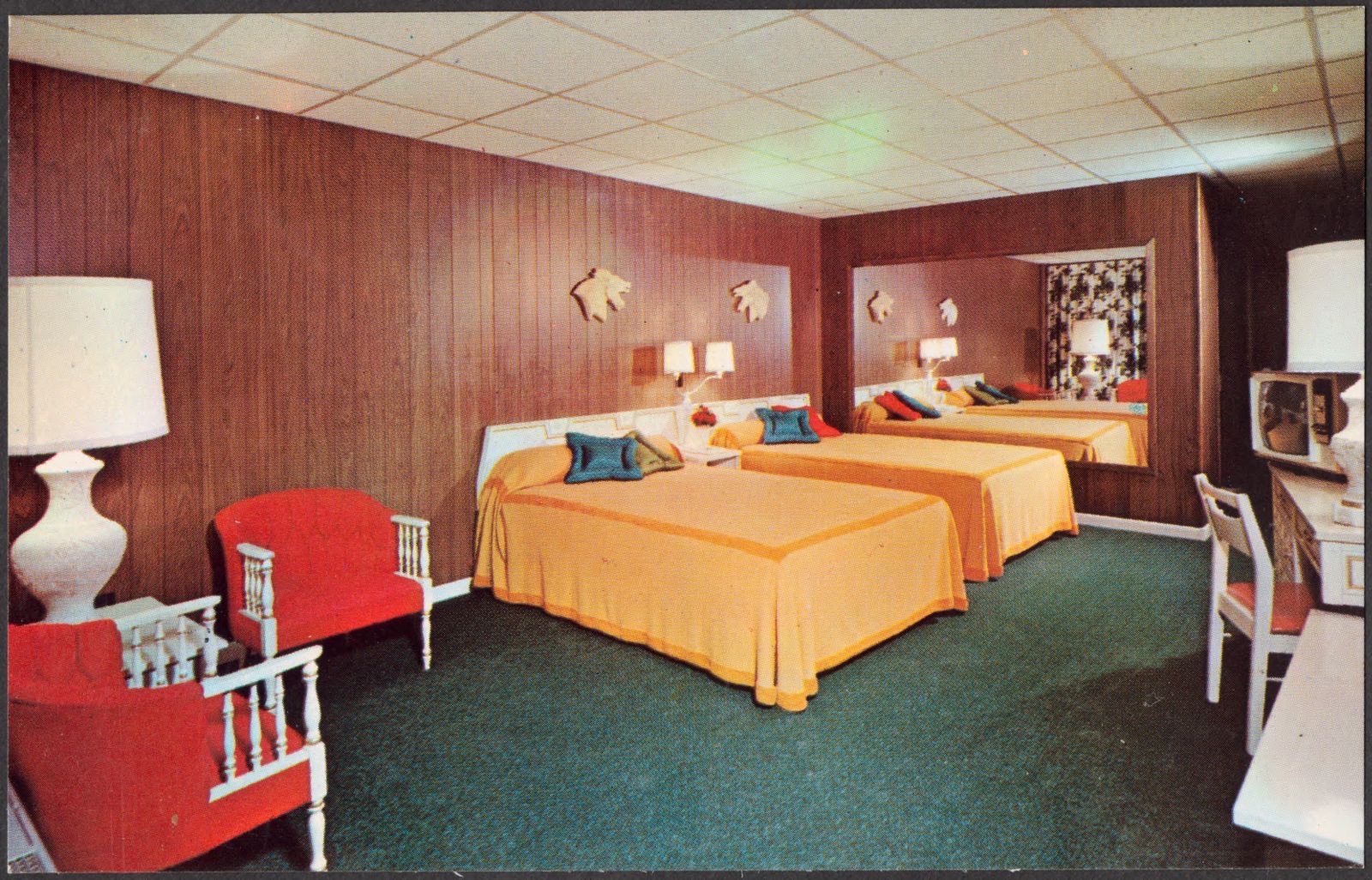
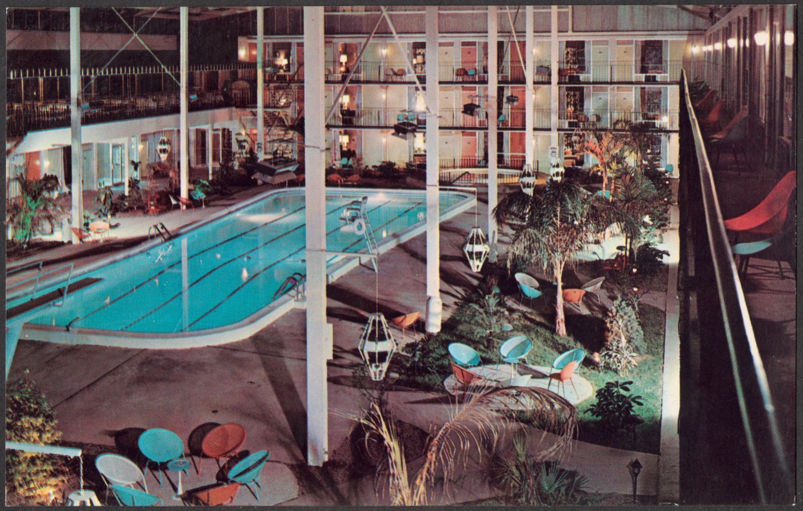
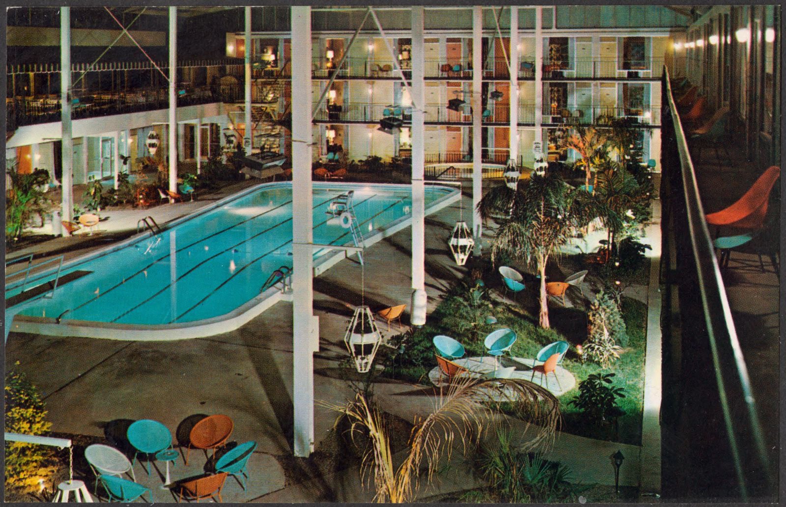
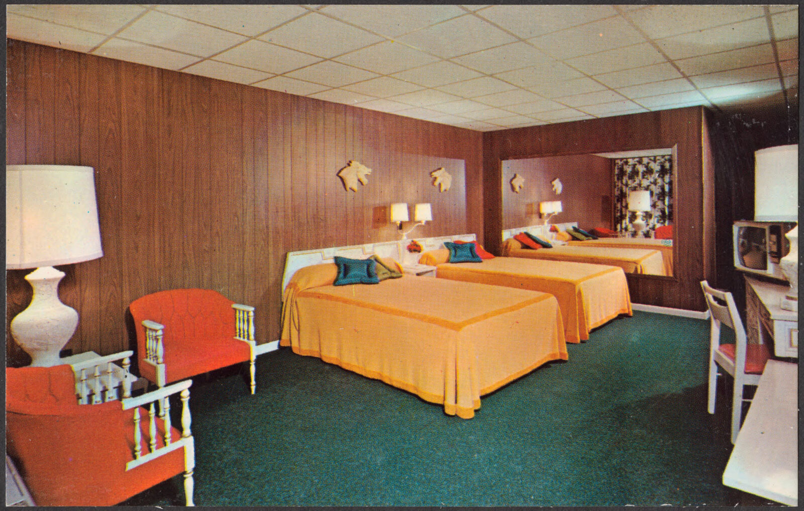
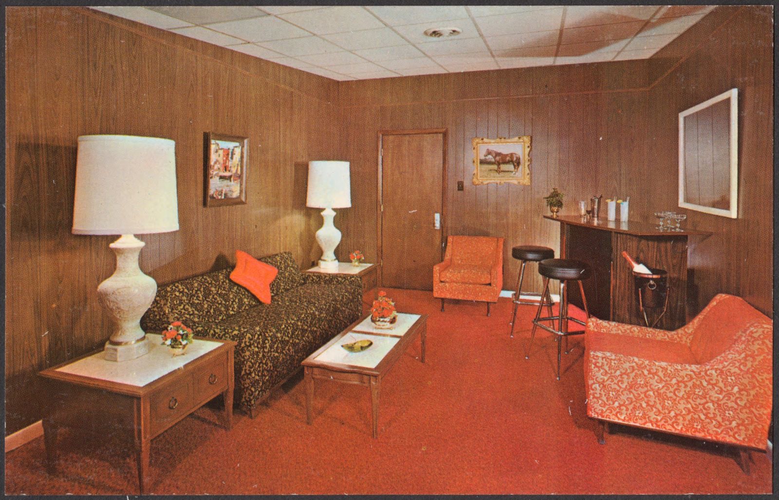
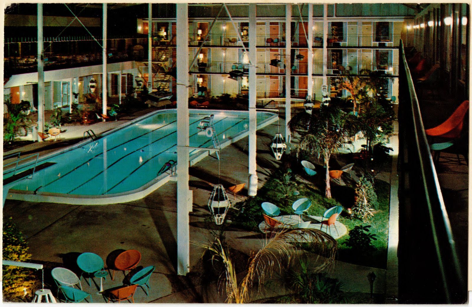
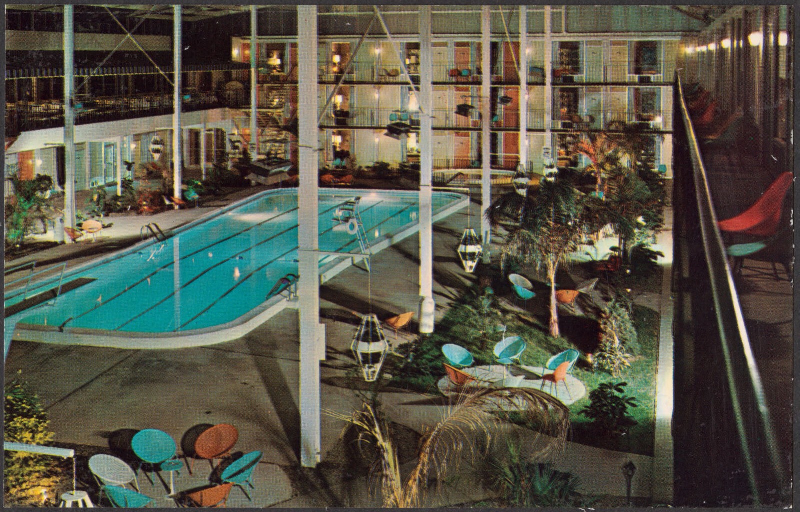
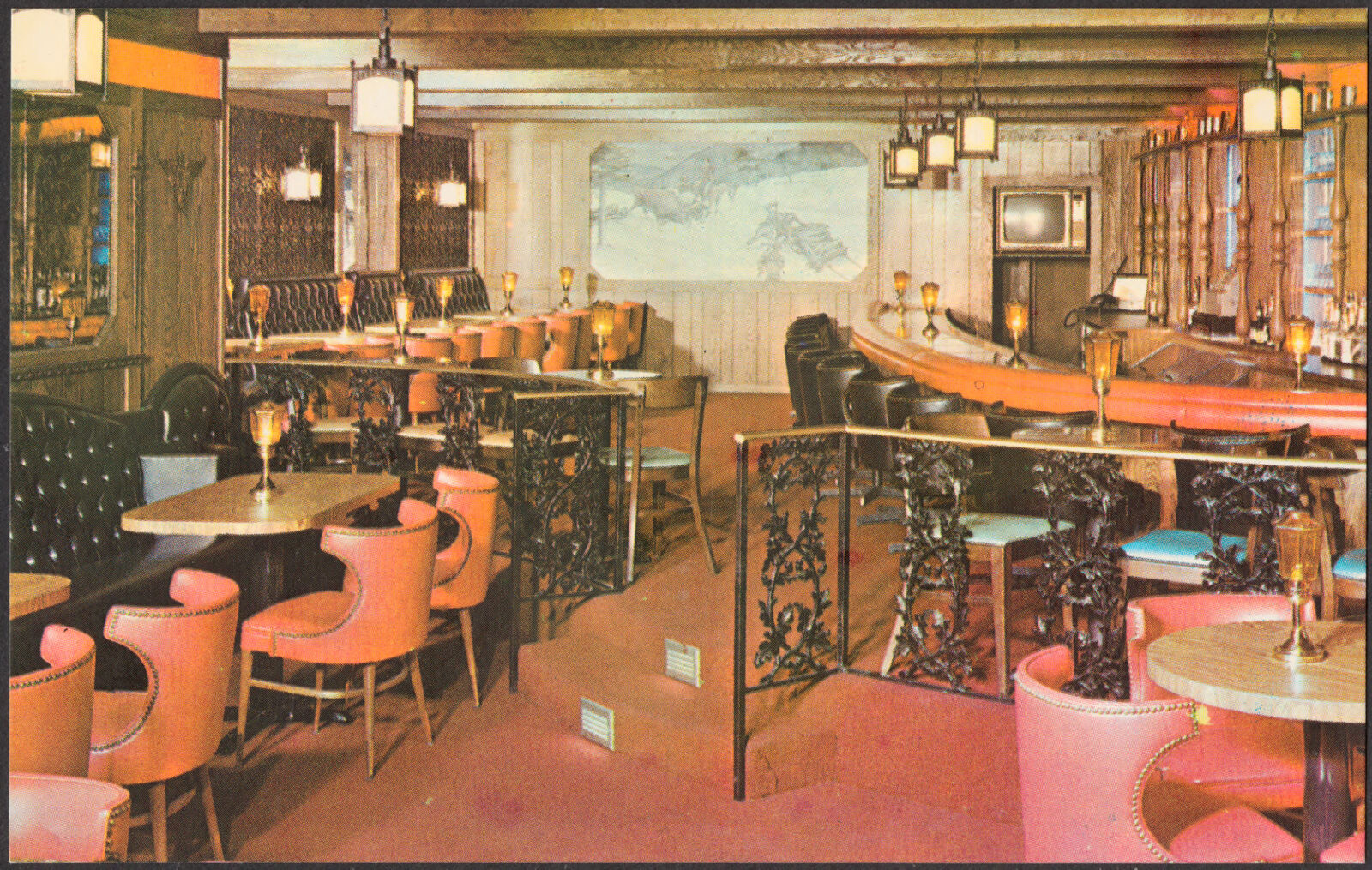
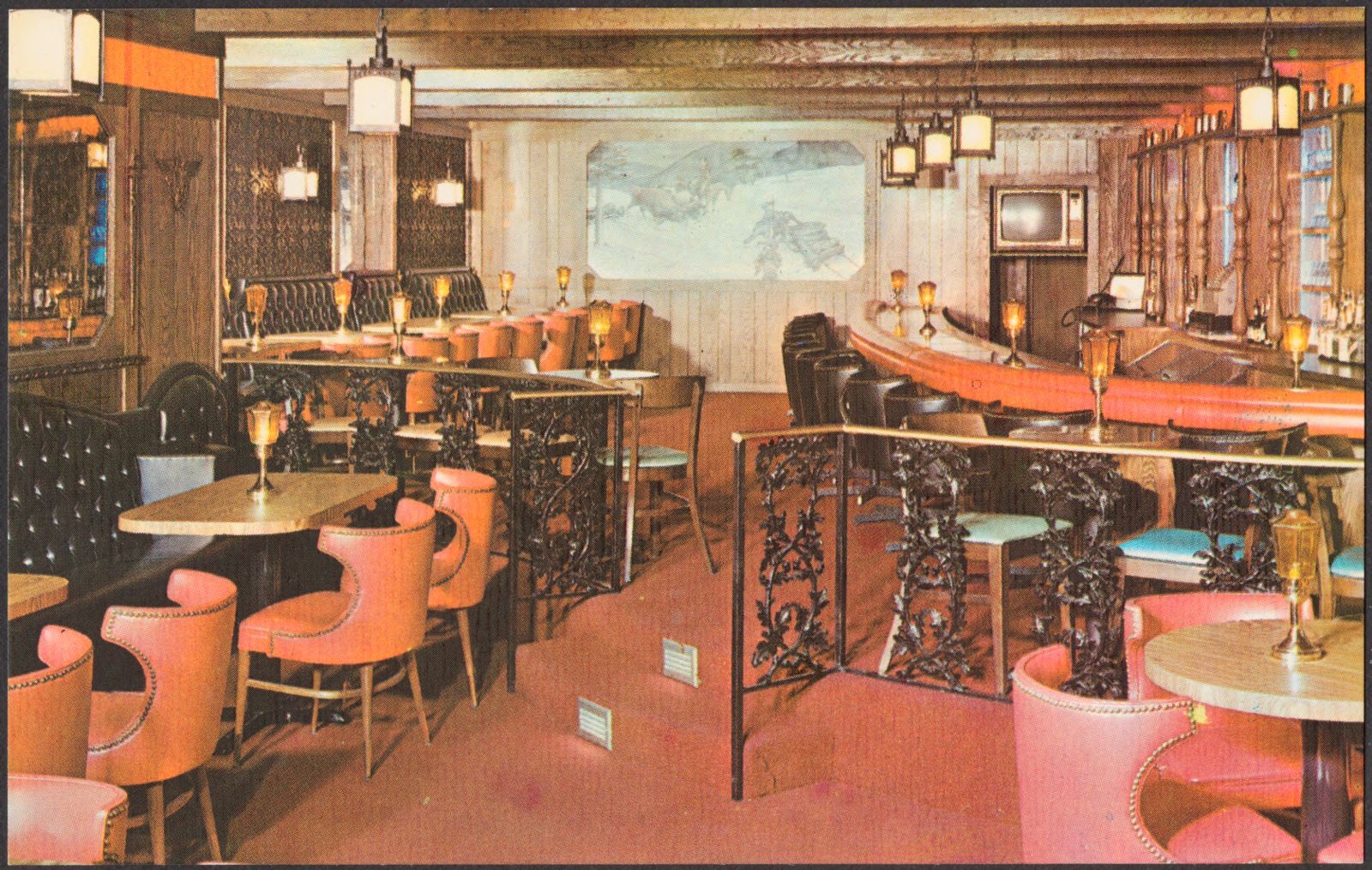
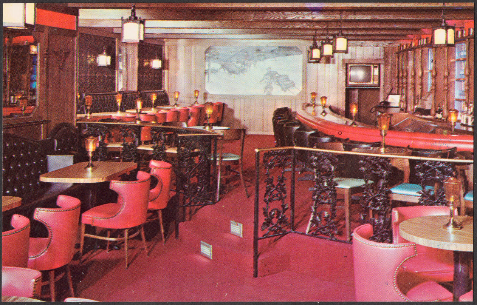
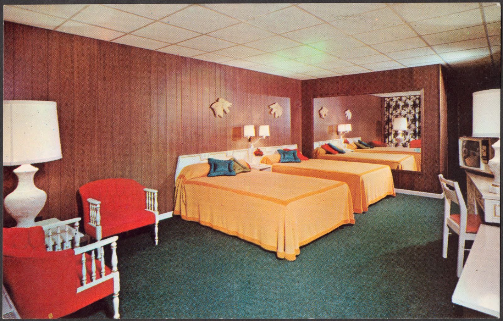
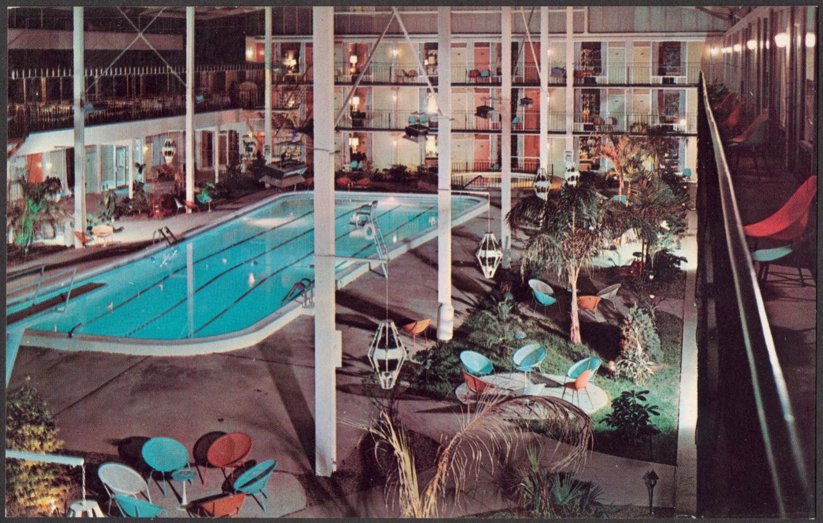
The Continental Inn, 801 New Circle Rd., N. E., Lexington, Ky. 40505, Boston Public Library - undated
The Continental Inn, 801 New Circle Rd., N. E., Lexington, Ky. 40505. Boston Public Library, via the Digital Public Library of America.
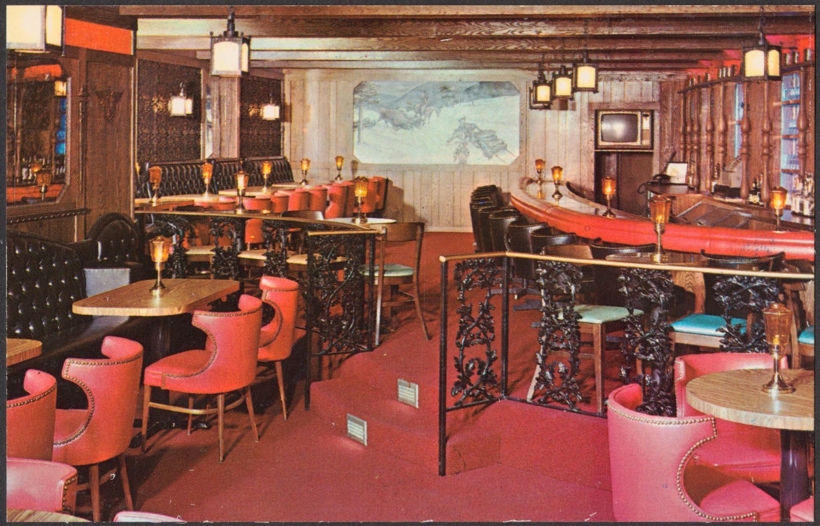
The Continental Inn, 801 New Circle Rd., N. E., Lexington, Ky. 40505, Boston Public Library - undated
The Continental Inn, 801 New Circle Rd., N. E., Lexington, Ky. 40505. Boston Public Library, via the Digital Public Library of America.
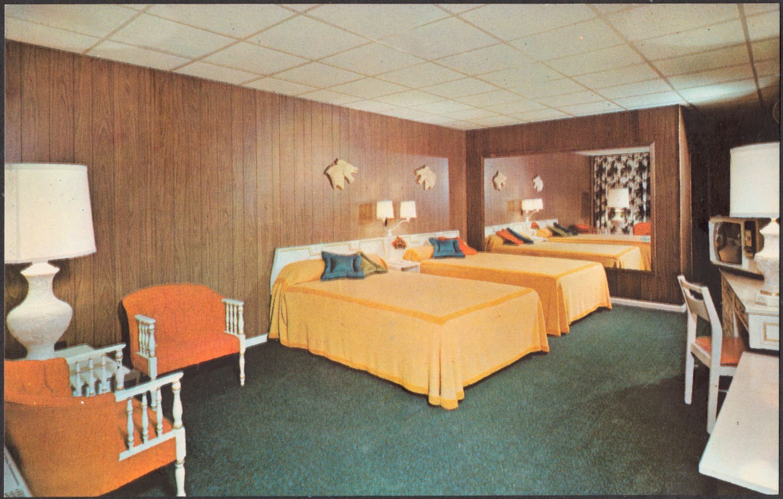
The Continental Inn, 801 New Circle Rd., N. E., Lexington, Ky. 40505, Boston Public Library - undated
The Continental Inn, 801 New Circle Rd., N. E., Lexington, Ky. 40505. Boston Public Library, via the Digital Public Library of America.
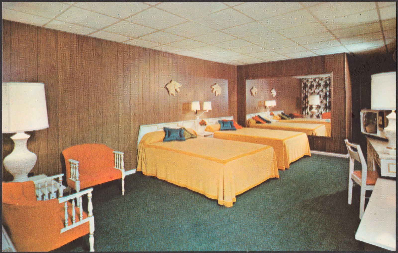
The Continental Inn, 801 New Circle Rd., N. E., Lexington, Ky. 40505, Boston Public Library - undated
The Continental Inn, 801 New Circle Rd., N. E., Lexington, Ky. 40505. Boston Public Library, via the Digital Public Library of America.
The Continental Inn, 801 New Circle Rd., N. E., Lexington, Ky. 40505, Boston Public Library - undated
The Continental Inn, 801 New Circle Rd., N. E., Lexington, Ky. 40505. Boston Public Library, via the Digital Public Library of America.
The Continental Inn, 801 New Circle Rd., N. E., Lexington, Ky. 40505, Boston Public Library - undated
The Continental Inn, 801 New Circle Rd., N. E., Lexington, Ky. 40505. Boston Public Library, via the Digital Public Library of America.
The Continental Inn, 801 New Circle Rd., N. E., Lexington, Ky. 40505, Boston Public Library - undated
The Continental Inn, 801 New Circle Rd., N. E., Lexington, Ky. 40505. Boston Public Library, via the Digital Public Library of America.
The Continental Inn, 801 New Circle Rd., N. E., Lexington, Ky. 40505, Boston Public Library - undated
The Continental Inn, 801 New Circle Rd., N. E., Lexington, Ky. 40505. Boston Public Library, via the Digital Public Library of America.
The Continental Inn, 801 New Circle Rd., N. E., Lexington, Ky. 40505, Boston Public Library - undated
The Continental Inn, 801 New Circle Rd., N. E., Lexington, Ky. 40505. Boston Public Library, via the Digital Public Library of America.
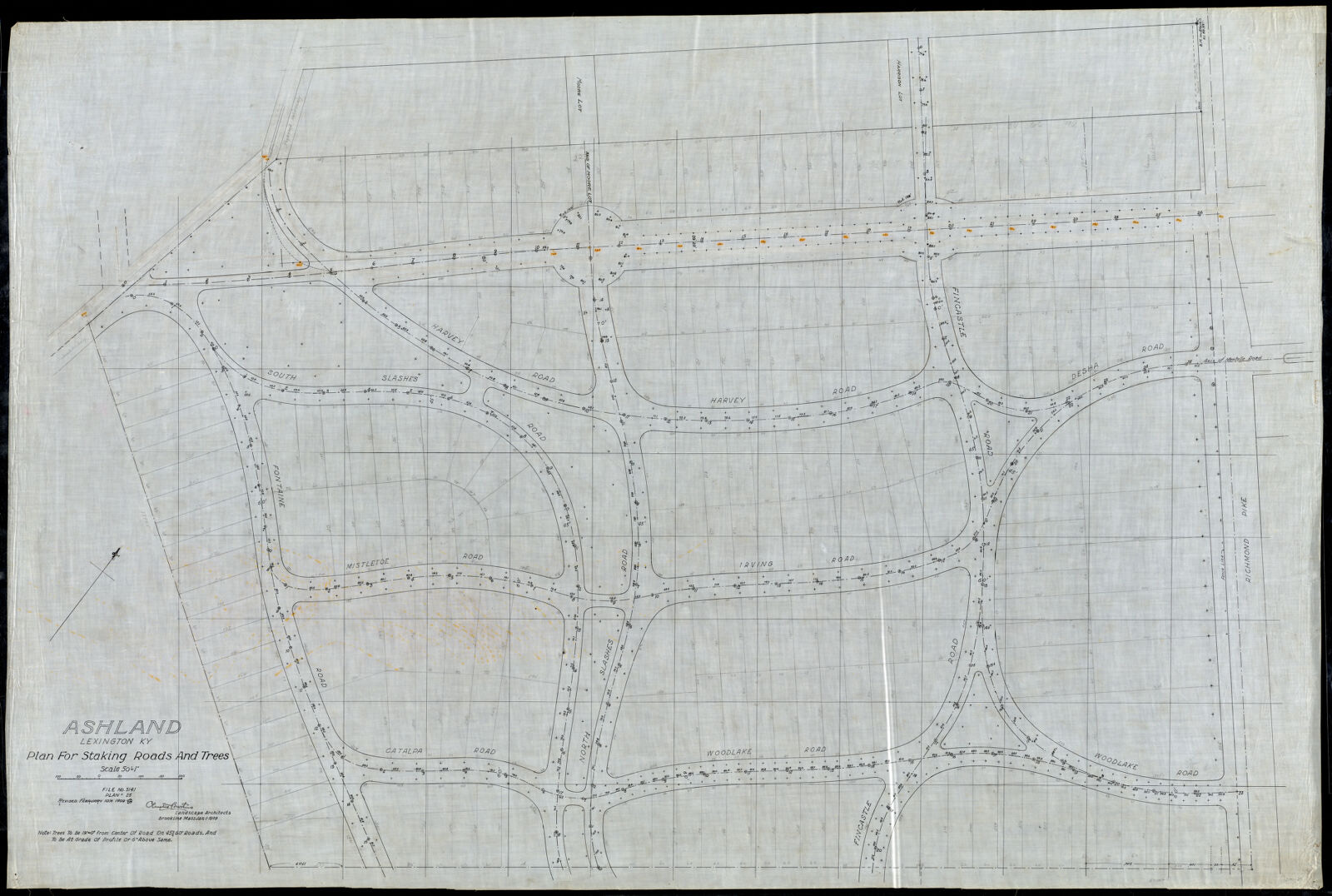
Ashland/ Lexington, KY./ Plan for Staking Roads & Trees[r]/; Scale 50'= 1" [r], Frederick Law Olmsted National Historic Site - undated
Ashland/ Lexington, KY./ Plan for Staking Roads & Trees[r]/; Scale 50'= 1" [r]. Olmsted Brothers, Frederick Law Olmsted National Historic Site, via the Digital Public Library of America.
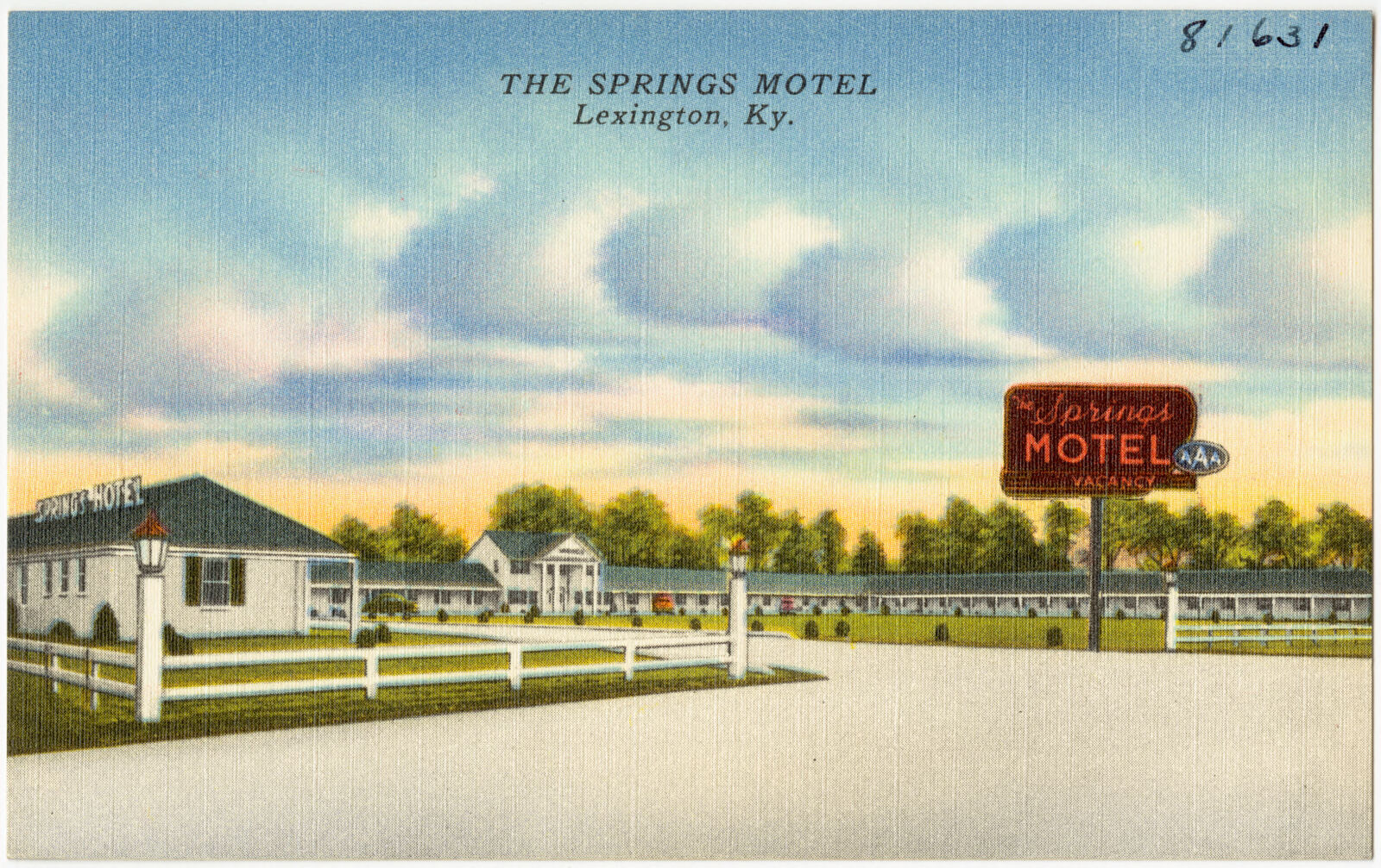
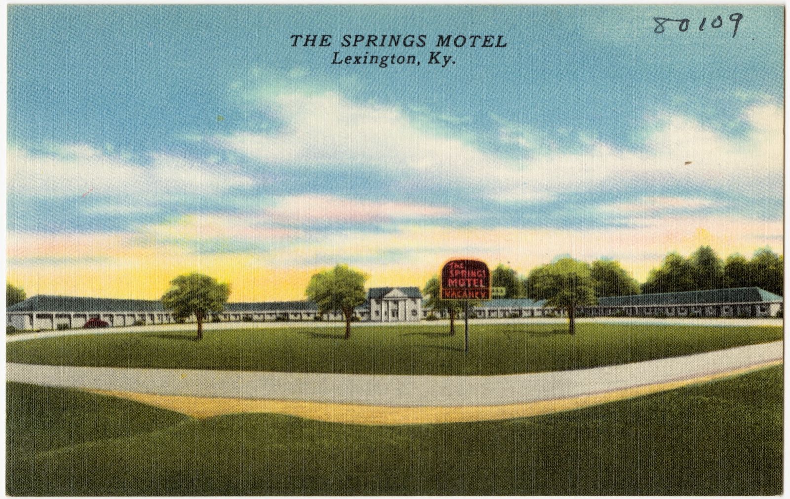
The Springs Motel, Lexington, Ky., Boston Public Library - undated
The Springs Motel, Lexington, Ky.. Boston Public Library, via the Digital Public Library of America.
The Continental Inn, 801 New Circle Rd., N. E., Lexington, Ky. 40505, Boston Public Library - undated
The Continental Inn, 801 New Circle Rd., N. E., Lexington, Ky. 40505. Boston Public Library, via the Digital Public Library of America.
The Continental Inn, 801 New Circle Rd., N. E., Lexington, Ky. 40505, Boston Public Library - undated
The Continental Inn, 801 New Circle Rd., N. E., Lexington, Ky. 40505. Boston Public Library, via the Digital Public Library of America.
The Continental Inn, 801 New Circle Rd., N. E., Lexington, Ky. 40505, Boston Public Library - undated
The Continental Inn, 801 New Circle Rd., N. E., Lexington, Ky. 40505. Boston Public Library, via the Digital Public Library of America.
The Continental Inn, 801 New Circle Rd., N. E., Lexington, Ky. 40505, Boston Public Library - undated
The Continental Inn, 801 New Circle Rd., N. E., Lexington, Ky. 40505. Boston Public Library, via the Digital Public Library of America.
The Continental Inn, 801 New Circle Rd., N. E., Lexington, Ky. 40505, Boston Public Library - undated
The Continental Inn, 801 New Circle Rd., N. E., Lexington, Ky. 40505. Boston Public Library, via the Digital Public Library of America.
The Continental Inn, 801 New Circle Rd., N. E., Lexington, Ky. 40505, Boston Public Library - undated
The Continental Inn, 801 New Circle Rd., N. E., Lexington, Ky. 40505. Boston Public Library, via the Digital Public Library of America.
The Continental Inn, 801 New Circle Rd., N. E., Lexington, Ky. 40505, Boston Public Library - undated
The Continental Inn, 801 New Circle Rd., N. E., Lexington, Ky. 40505. Boston Public Library, via the Digital Public Library of America.
The Continental Inn, 801 New Circle Rd., N. E., Lexington, Ky. 40505, Boston Public Library - undated
The Continental Inn, 801 New Circle Rd., N. E., Lexington, Ky. 40505. Boston Public Library, via the Digital Public Library of America.
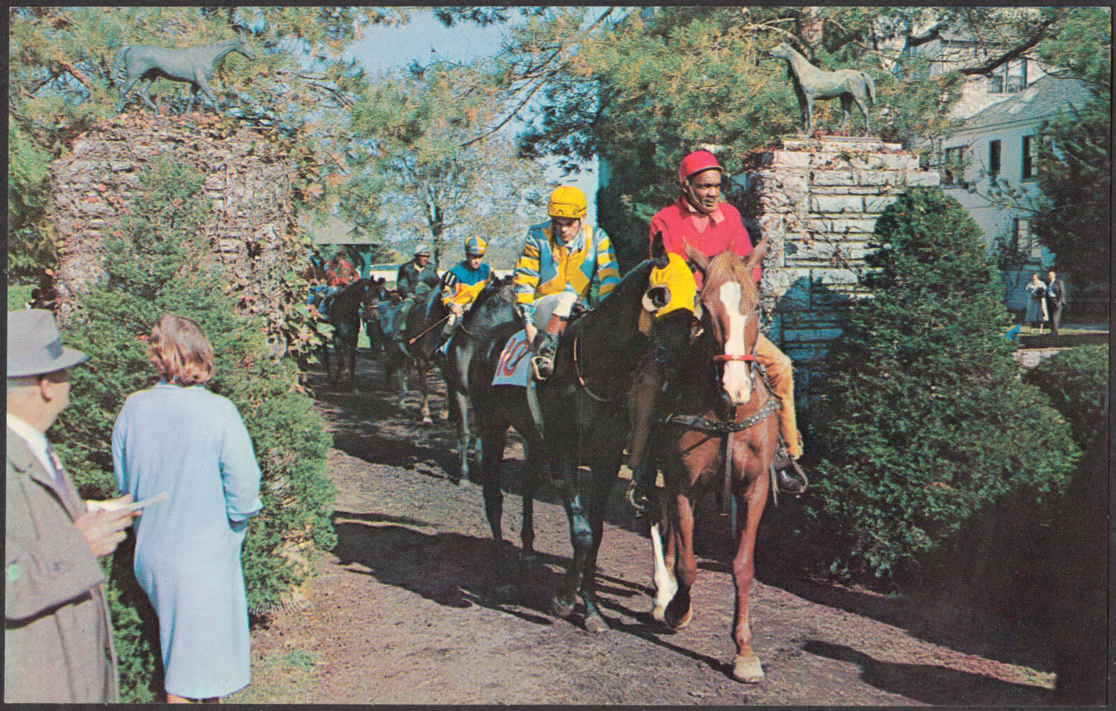
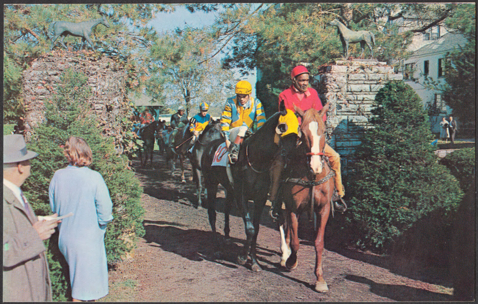
Fall meet at Keeneland Race Course, Lexington, Kentucky, Boston Public Library - undated
Fall meet at Keeneland Race Course, Lexington, Kentucky. Boston Public Library, via the Digital Public Library of America.
The Continental Inn, 801 New Circle Rd., N. E., Lexington, Ky, 40505, Boston Public Library - undated
The Continental Inn, 801 New Circle Rd., N. E., Lexington, Ky, 40505. Boston Public Library, via the Digital Public Library of America.
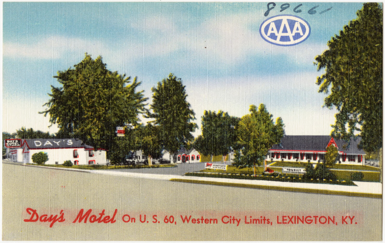
Day's Motel on U. S. 60, western city limits, Lexington, KY., Boston Public Library - undated
Day's Motel on U. S. 60, western city limits, Lexington, KY.. Boston Public Library, via the Digital Public Library of America.
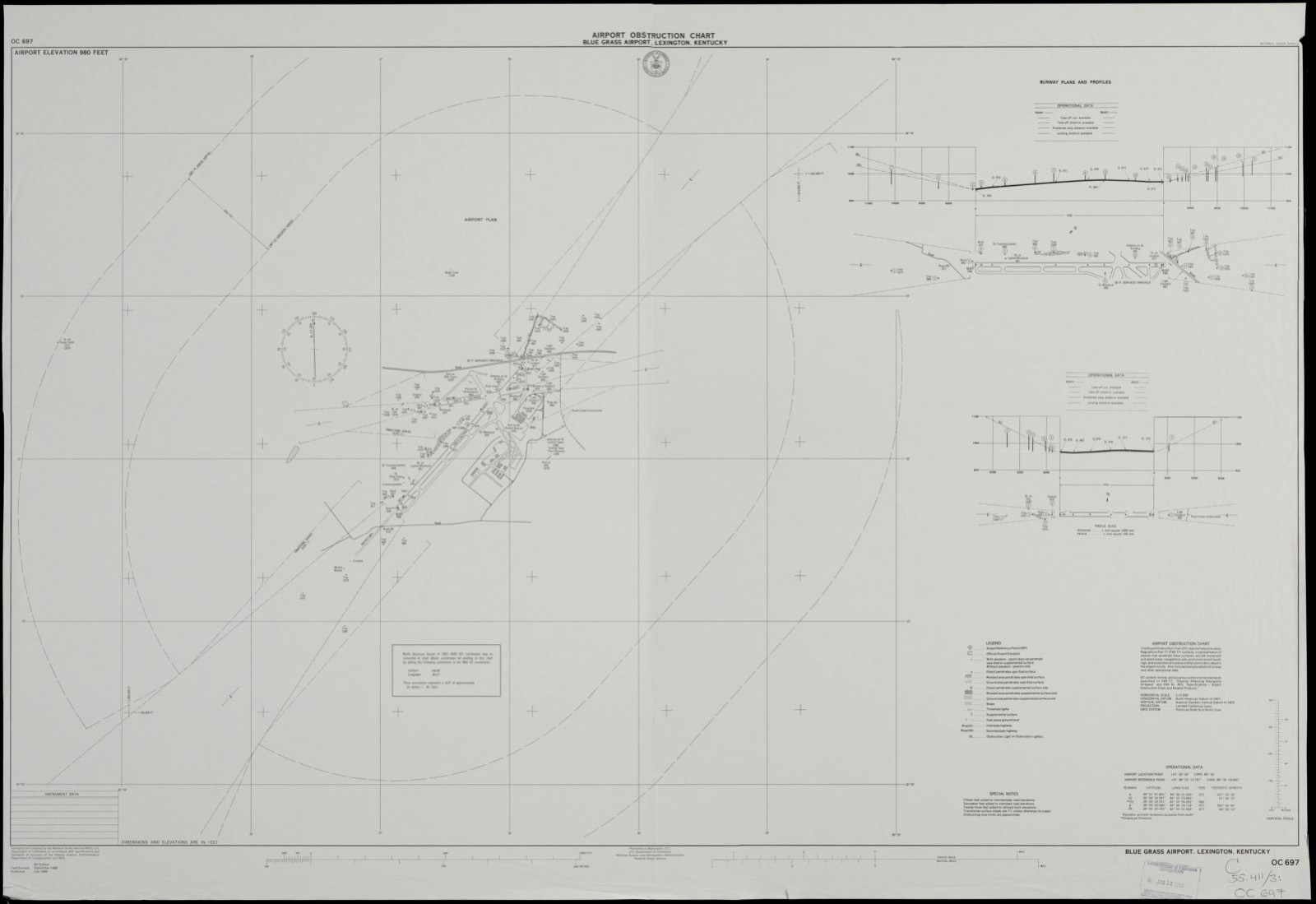
Airport obstruction chart, OC 697, Blue Grass Airport, Lexington, Kentucky, Boston Public Library - undated
Airport obstruction chart, OC 697, Blue Grass Airport, Lexington, Kentucky. United States. National Ocean Service, Boston Public Library, via the Digital Public Library of America.
The Continental Inn, 801 New Circle Rd., N. E., Lexington, Ky. 40505, Boston Public Library - undated
The Continental Inn, 801 New Circle Rd., N. E., Lexington, Ky. 40505. Boston Public Library, via the Digital Public Library of America.
The Continental Inn, 801 New Circle Rd., N. E., Lexington, Ky. 40505, Boston Public Library - undated
The Continental Inn, 801 New Circle Rd., N. E., Lexington, Ky. 40505. Boston Public Library, via the Digital Public Library of America.
The Continental Inn, 801 New Circle Rd., N. E., Lexington, Ky. 40505, Boston Public Library - undated
The Continental Inn, 801 New Circle Rd., N. E., Lexington, Ky. 40505. Boston Public Library, via the Digital Public Library of America.
Fall meet at Keeneland Race Course, Lexington, Kentucky, Boston Public Library - undated
Fall meet at Keeneland Race Course, Lexington, Kentucky. Boston Public Library, via the Digital Public Library of America.
The Continental Inn, 801 New Circle Rd., N. E., Lexington, Ky. 40505, Boston Public Library - undated
The Continental Inn, 801 New Circle Rd., N. E., Lexington, Ky. 40505. Boston Public Library, via the Digital Public Library of America.
The Continental Inn, 801 New Circle Rd., N. E., Lexington, Ky. 40505, Boston Public Library - undated
The Continental Inn, 801 New Circle Rd., N. E., Lexington, Ky. 40505. Boston Public Library, via the Digital Public Library of America.
The Continental Inn, 801 New Circle Rd., N. E., Lexington, Ky. 40505, Boston Public Library - undated
The Continental Inn, 801 New Circle Rd., N. E., Lexington, Ky. 40505. Boston Public Library, via the Digital Public Library of America.

The county from the air

36 shown

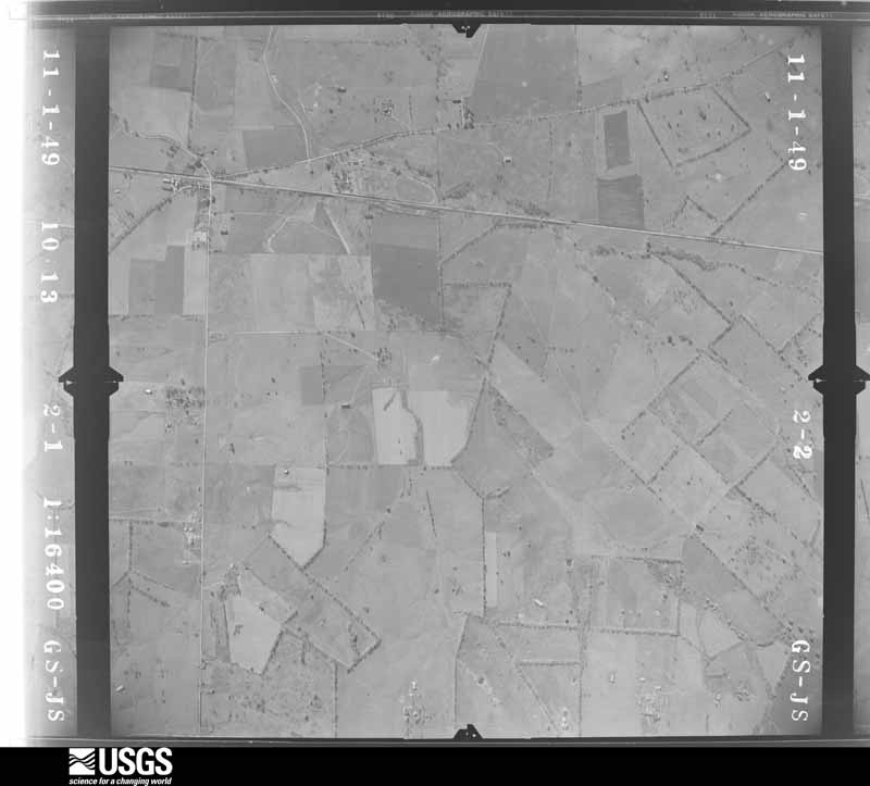
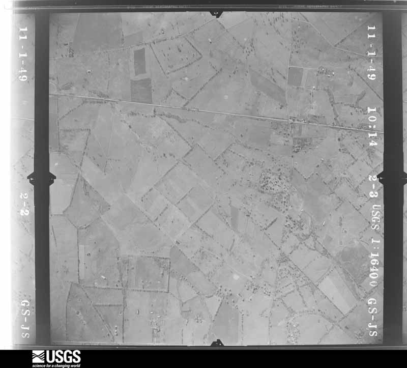
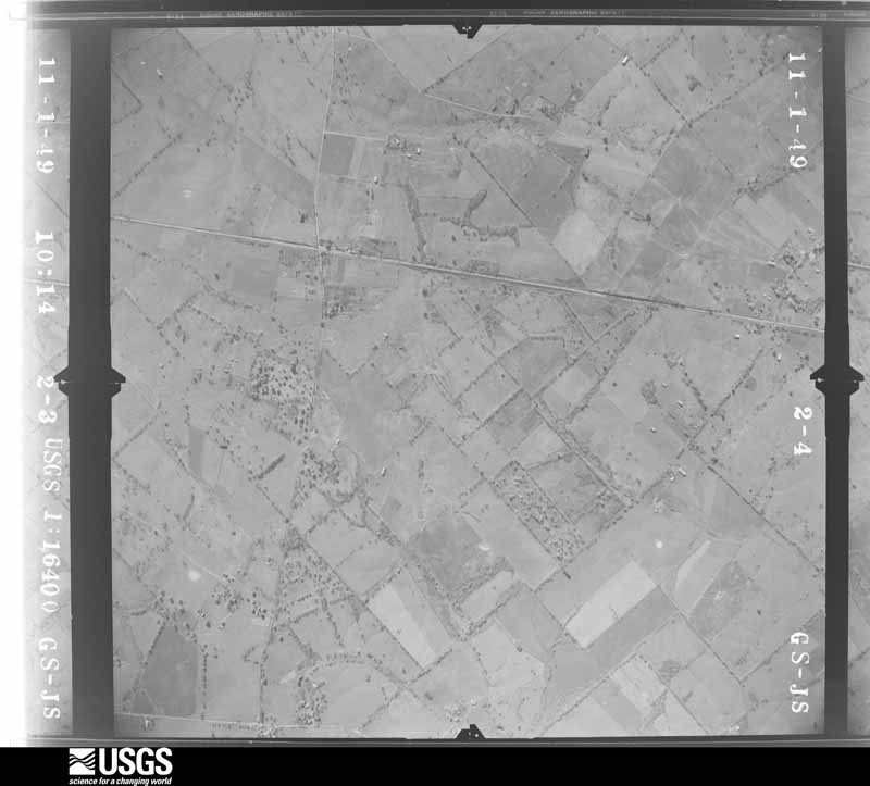
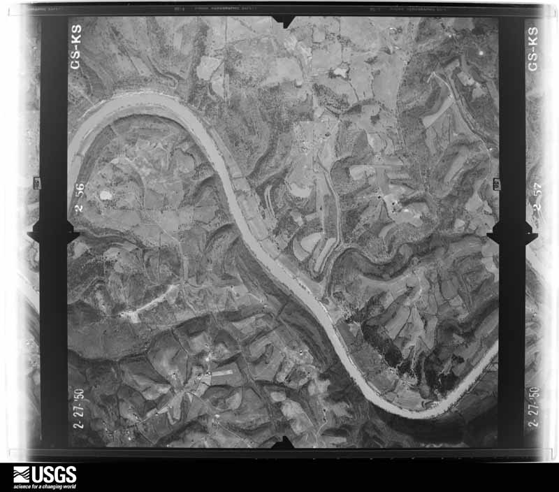
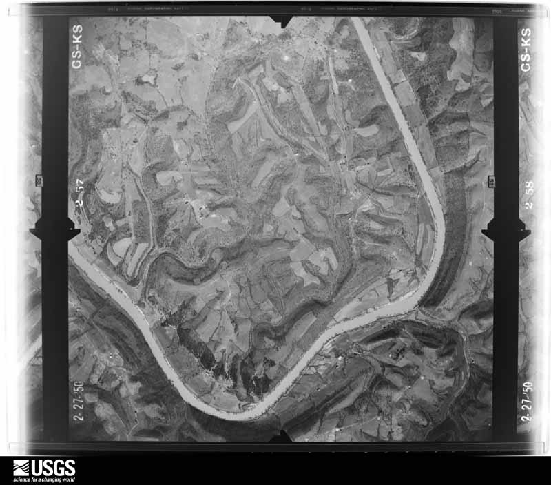
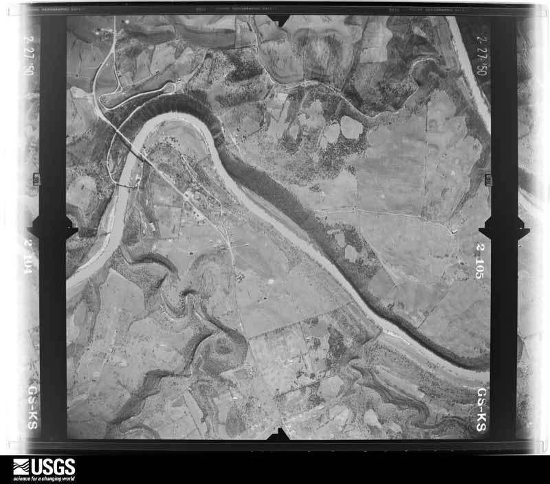
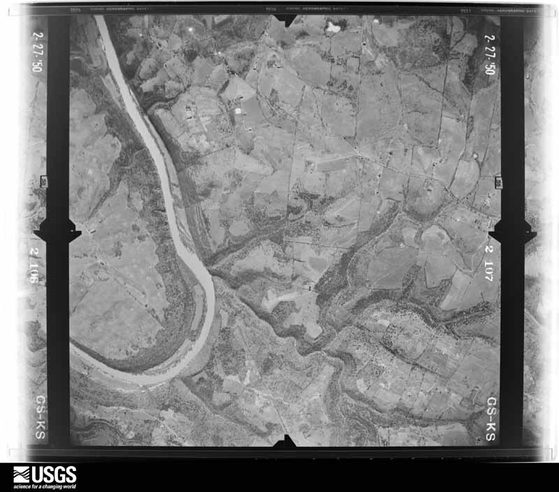
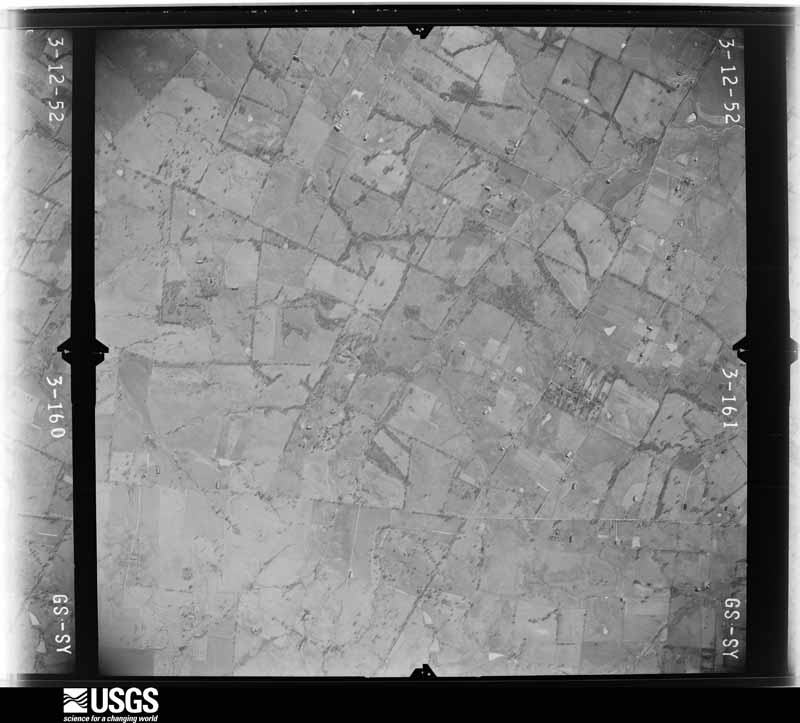
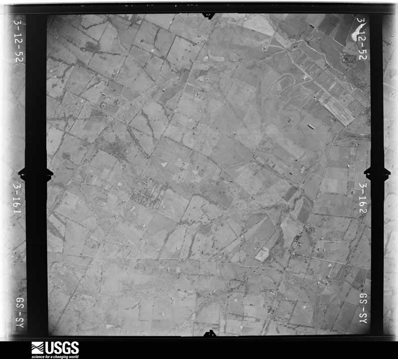
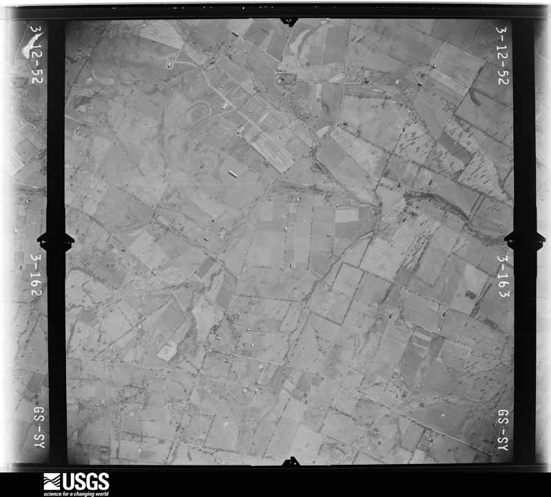
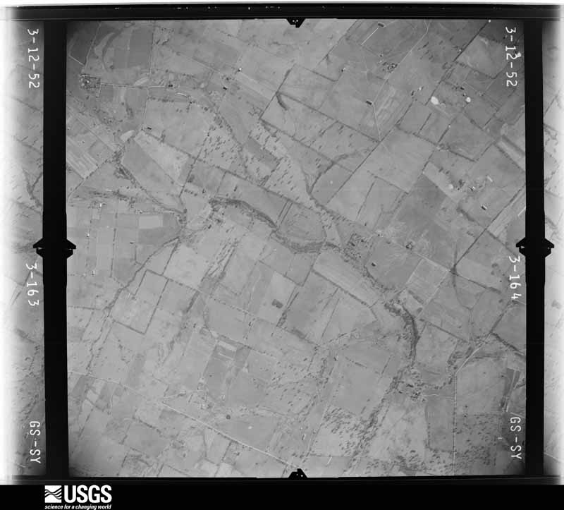
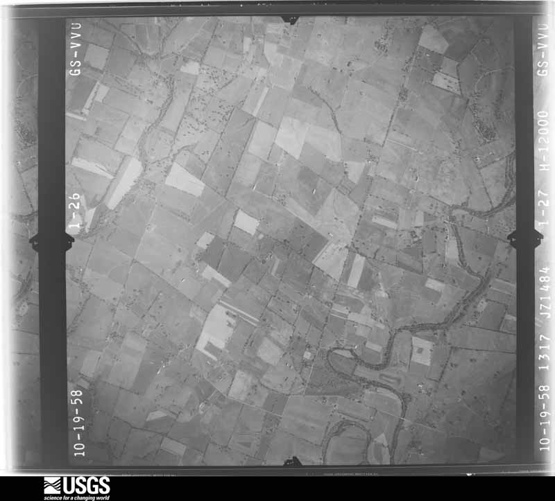
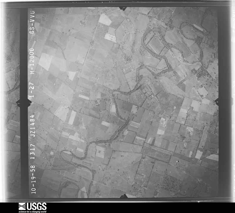
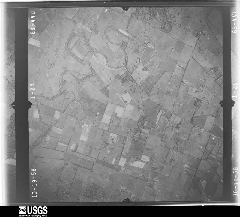
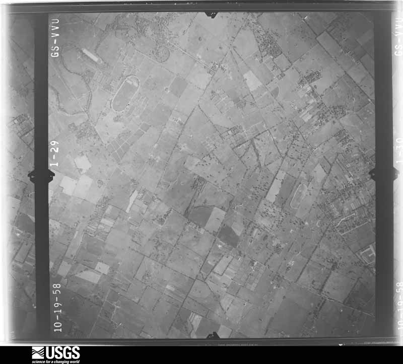
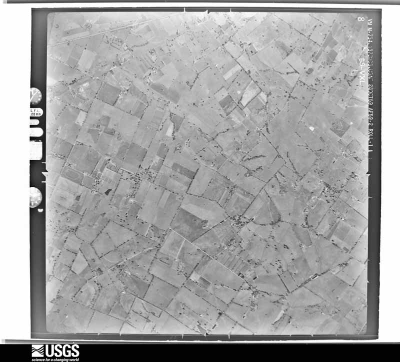
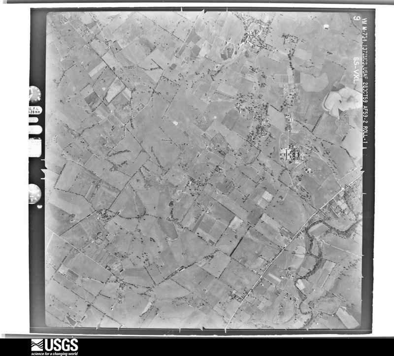
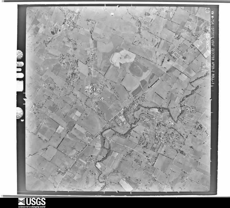
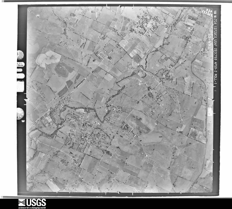
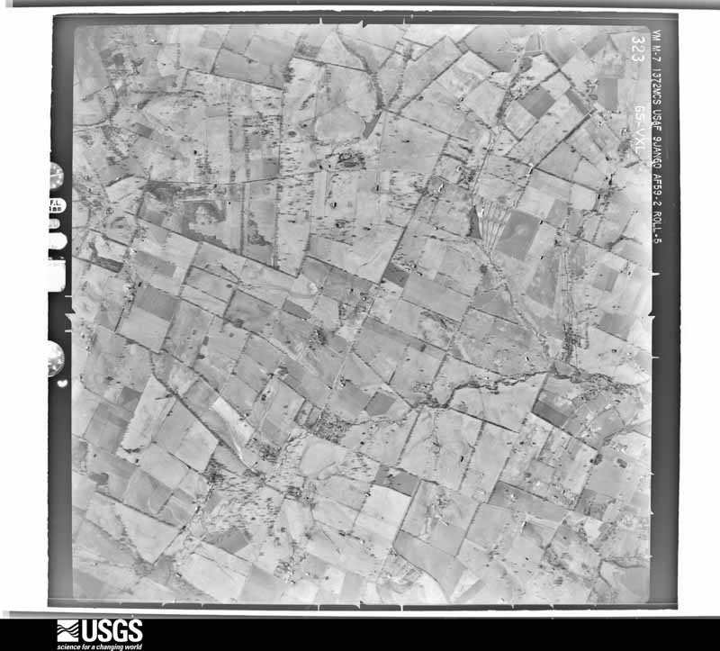
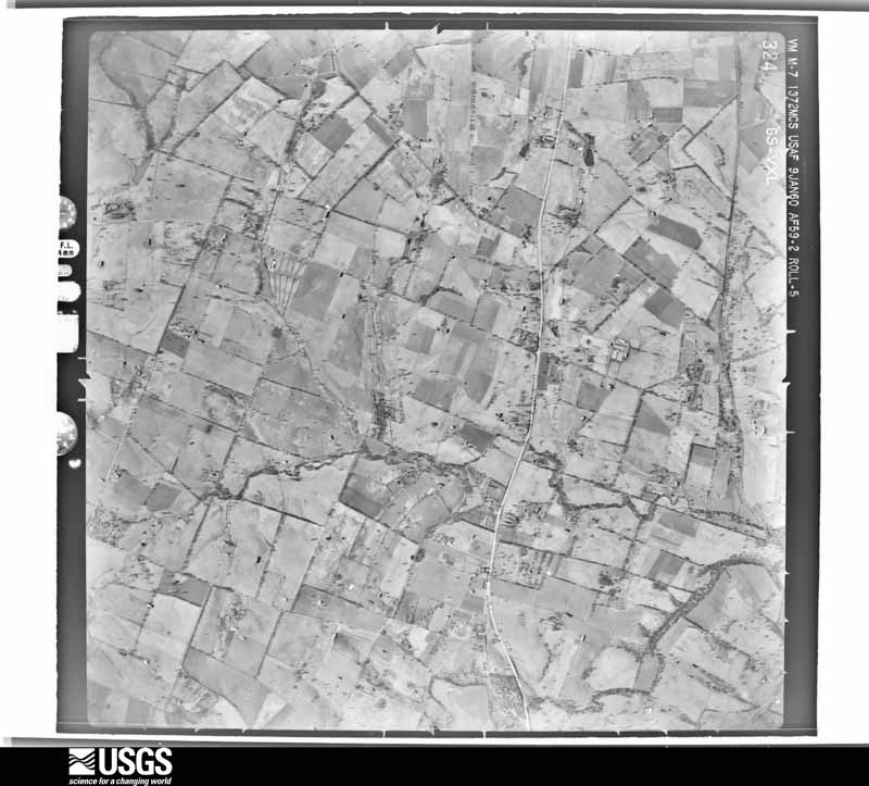
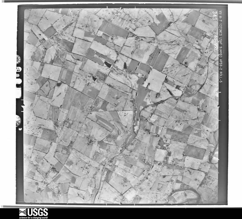
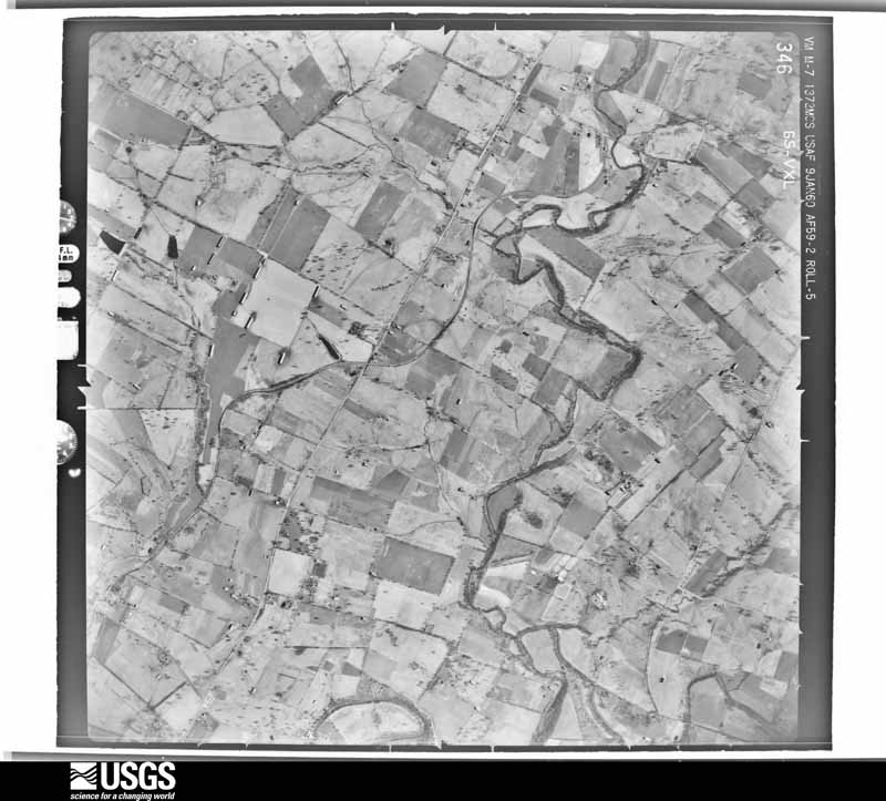
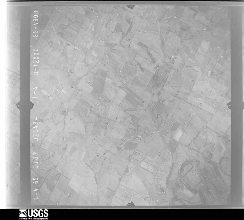
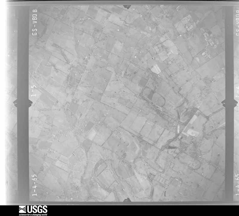
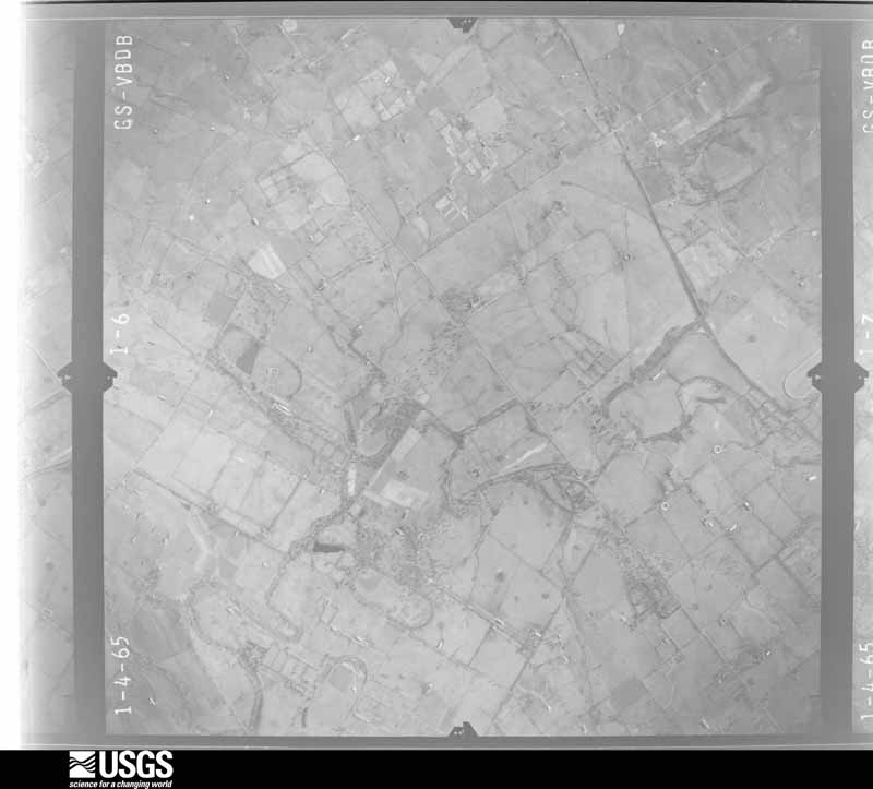
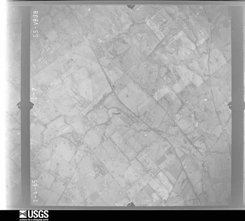
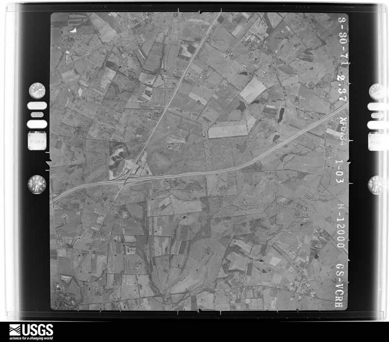
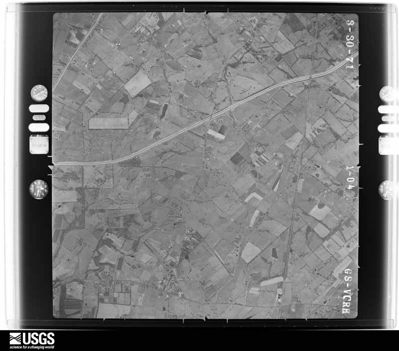
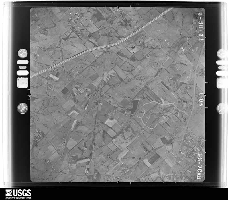
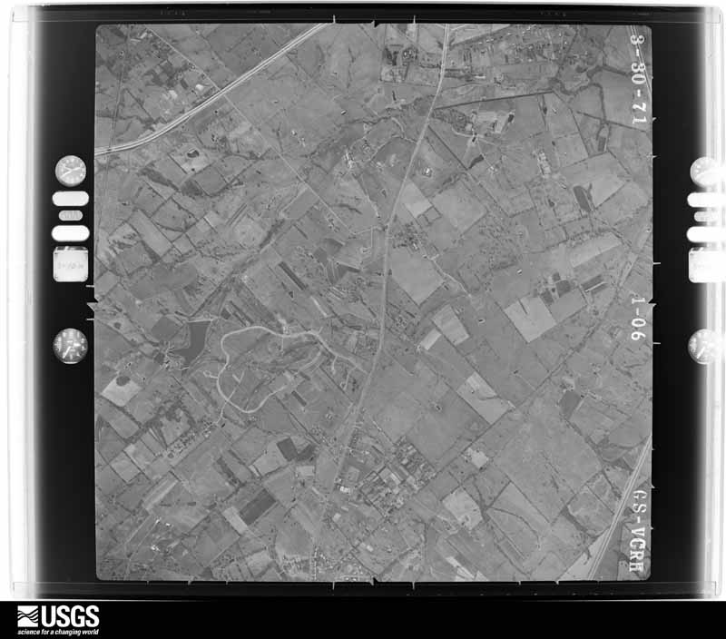
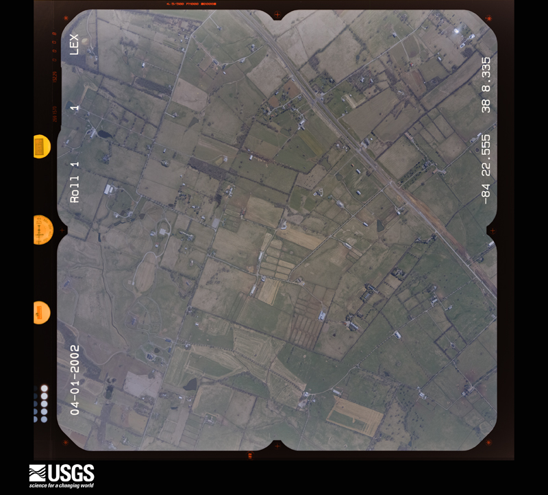
Flown by the U.S. Geological Survey between 1937 and 1989, the Aerial Photo Single Frames collection is the definitive mid-century view of the land: fields, roads and rivers as the camera saw them. The Survey holds 1,441 frames inside the rectangle that bounds this county; the 36 frames below were taken over the county itself, chosen across the decades of flights (at most four a year from that rectangle), so one flight cannot crowd out the rest. The full set is free to browse and download at EarthExplorer under the dataset Aerial Photo Single Frames.

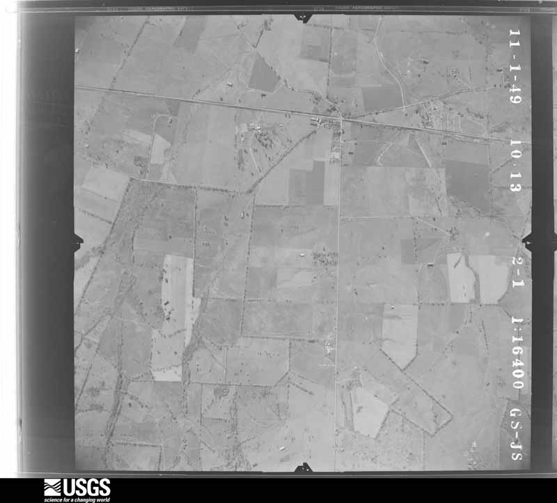
U.S. Geological Survey aerial photograph, 1949-11-01, scale 1:16400
1949-11-01, scale 1:16400. U.S. Geological Survey aerial photograph.
U.S. Geological Survey aerial photograph, 1949-11-01, scale 1:16400
1949-11-01, scale 1:16400. U.S. Geological Survey aerial photograph.
U.S. Geological Survey aerial photograph, 1949-11-01, scale 1:16400
1949-11-01, scale 1:16400. U.S. Geological Survey aerial photograph.
U.S. Geological Survey aerial photograph, 1949-11-01, scale 1:16400
1949-11-01, scale 1:16400. U.S. Geological Survey aerial photograph.
U.S. Geological Survey aerial photograph, 1950-06-10, scale 1:16500
1950-06-10, scale 1:16500. U.S. Geological Survey aerial photograph.
U.S. Geological Survey aerial photograph, 1950-06-10, scale 1:16500
1950-06-10, scale 1:16500. U.S. Geological Survey aerial photograph.
U.S. Geological Survey aerial photograph, 1950-06-10, scale 1:16500
1950-06-10, scale 1:16500. U.S. Geological Survey aerial photograph.
U.S. Geological Survey aerial photograph, 1950-06-10, scale 1:16500
1950-06-10, scale 1:16500. U.S. Geological Survey aerial photograph.
U.S. Geological Survey aerial photograph, 1952-03-01, scale 1:18000
1952-03-01, scale 1:18000. U.S. Geological Survey aerial photograph.
U.S. Geological Survey aerial photograph, 1952-03-01, scale 1:18000
1952-03-01, scale 1:18000. U.S. Geological Survey aerial photograph.
U.S. Geological Survey aerial photograph, 1952-03-01, scale 1:18000
1952-03-01, scale 1:18000. U.S. Geological Survey aerial photograph.
U.S. Geological Survey aerial photograph, 1952-03-01, scale 1:18000
1952-03-01, scale 1:18000. U.S. Geological Survey aerial photograph.
U.S. Geological Survey aerial photograph, 1958-10-01, scale 1:24000
1958-10-01, scale 1:24000. U.S. Geological Survey aerial photograph.
U.S. Geological Survey aerial photograph, 1958-10-01, scale 1:24000
1958-10-01, scale 1:24000. U.S. Geological Survey aerial photograph.
U.S. Geological Survey aerial photograph, 1958-10-01, scale 1:24000
1958-10-01, scale 1:24000. U.S. Geological Survey aerial photograph.
U.S. Geological Survey aerial photograph, 1958-10-01, scale 1:24000
1958-10-01, scale 1:24000. U.S. Geological Survey aerial photograph.
U.S. Geological Survey aerial photograph, 1959-10-28, scale 1:24000
1959-10-28, scale 1:24000. U.S. Geological Survey aerial photograph.
U.S. Geological Survey aerial photograph, 1959-10-28, scale 1:24000
1959-10-28, scale 1:24000. U.S. Geological Survey aerial photograph.
U.S. Geological Survey aerial photograph, 1959-10-28, scale 1:24000
1959-10-28, scale 1:24000. U.S. Geological Survey aerial photograph.
U.S. Geological Survey aerial photograph, 1959-10-28, scale 1:24000
1959-10-28, scale 1:24000. U.S. Geological Survey aerial photograph.
U.S. Geological Survey aerial photograph, 1960-01-09, scale 1:24000
1960-01-09, scale 1:24000. U.S. Geological Survey aerial photograph.
U.S. Geological Survey aerial photograph, 1960-01-09, scale 1:24000
1960-01-09, scale 1:24000. U.S. Geological Survey aerial photograph.
U.S. Geological Survey aerial photograph, 1960-01-09, scale 1:24000
1960-01-09, scale 1:24000. U.S. Geological Survey aerial photograph.
U.S. Geological Survey aerial photograph, 1960-01-09, scale 1:24000
1960-01-09, scale 1:24000. U.S. Geological Survey aerial photograph.
U.S. Geological Survey aerial photograph, 1965-02-15, scale 1:24000
1965-02-15, scale 1:24000. U.S. Geological Survey aerial photograph.
U.S. Geological Survey aerial photograph, 1965-02-15, scale 1:24000
1965-02-15, scale 1:24000. U.S. Geological Survey aerial photograph.
U.S. Geological Survey aerial photograph, 1965-02-15, scale 1:24000
1965-02-15, scale 1:24000. U.S. Geological Survey aerial photograph.
U.S. Geological Survey aerial photograph, 1965-02-15, scale 1:24000
1965-02-15, scale 1:24000. U.S. Geological Survey aerial photograph.
U.S. Geological Survey aerial photograph, 1971-03-30, scale 1:24000
1971-03-30, scale 1:24000. U.S. Geological Survey aerial photograph.
U.S. Geological Survey aerial photograph, 1971-03-30, scale 1:24000
1971-03-30, scale 1:24000. U.S. Geological Survey aerial photograph.
U.S. Geological Survey aerial photograph, 1971-03-30, scale 1:24000
1971-03-30, scale 1:24000. U.S. Geological Survey aerial photograph.
U.S. Geological Survey aerial photograph, 1971-03-30, scale 1:24000
1971-03-30, scale 1:24000. U.S. Geological Survey aerial photograph.
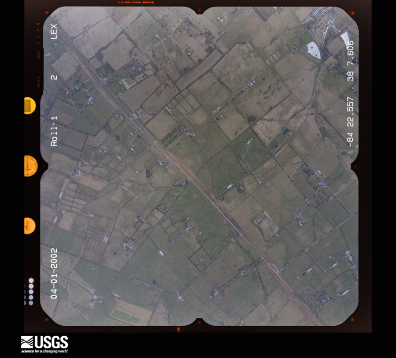
U.S. Geological Survey aerial photograph, 2002-04-01, scale 1:15000
2002-04-01, scale 1:15000. U.S. Geological Survey aerial photograph.
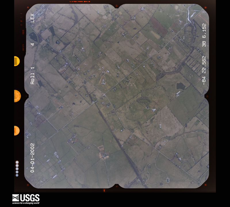
U.S. Geological Survey aerial photograph, 2002-04-01, scale 1:15000
2002-04-01, scale 1:15000. U.S. Geological Survey aerial photograph.
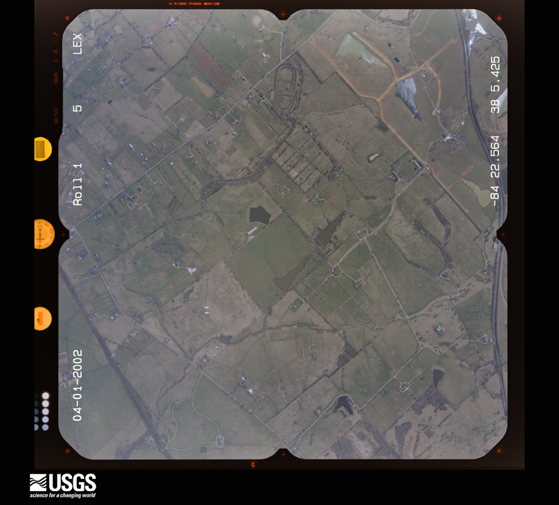
U.S. Geological Survey aerial photograph, 2002-04-01, scale 1:15000
2002-04-01, scale 1:15000. U.S. Geological Survey aerial photograph.
U.S. Geological Survey aerial photograph, 2002-04-01, scale 1:15000
2002-04-01, scale 1:15000. U.S. Geological Survey aerial photograph.

Weather records

20 stations, 16 gages

The thermometers that kept this county's weather, and the gages that measured the flow of its streams, as the federal records hold them. The extremes below are measured values from those records, not estimates.

The 1950 census, district by district

125 districts

Who lived here in 1950, one enumeration district at a time, as the Census Bureau described each district. Each row opens its official National Archives result, with Population Schedules and ED Maps available there.

  • 34-1Lexington city, comprising parts of Magisterial Districts 1, 2, 3 and 4: Lexington city - That part of Ward 1 in Magisterial District 1 Bounded by W. Main; Cox, Manchester, Irish; W. High, Southern Rwy., City limits; City limits
  • 34-2Lexington city - That part of Ward 1 in Magisterial District 1 Bounded by City limits; Southern Rwy., Versailles Pike, Angliana Ave.; S. Broadway; City limits
  • 34-3Lexington city - That part of Ward 1 in Magisterial District 1 Bounded by Versailles Pike; Southern Rwy.; S. Broadway; Angliana Ave.
  • 34-4Lexington city - That part of Ward 1 in Magisterial District 1 Bounded by W. High; Pine, Southern Rwy.; S. Broadway; Southern Hwy.
  • 34-5Lexington city - That part of Ward 1 in Magisterial District 1 Bounded by W. High; W. Maxwell; S. Broadway; Southern Rwy., Pine
  • 34-6Lexington city - That part of Ward 1 in Magisterial District 1 Bounded by W. High; Patterson; W. Maxwell
  • 34-7Lexington city - That part of Ward 1 in Magisterial District 1 Bounded by W. Main; S. Broadway; W. High; Irish, Manchester, Cox
  • 34-8Lexington city - That part of Ward 1 in Magisterial vistrict 1 Bounded by W. High; S. Broadway; W. Maxwell; Patterson
  • 34-9Lexington city - That part of Ward 6 in Magisterial District 1 Bounded by W. Main; Upper, W. High, Mill; W. Maxwell; S. Broadway
  • 34-10Lexington city - That part of Ward 6 in Magisterial District 1 Bounded by W. Main; S. Limestone; W. Maxwell; Mill, W. High, Upper
  • 34-11Lexington city - That part of Ward 6 in Magisterial vistrict 1 Bounded by W. Maxwell; S. Limestone; Upper, Scott; S. Broadway
  • 34-12Lexington city - That part of Ward 6 in Magisterial District 1 Bounded by Scott; Upper, S. Limestone, Prall, Winnie; Virginia Ave.; Southern Rwy., S. Broadway
  • 34-13Lexington city - That part of Ward 6 in Magisterial District 1 Bounded by Southern Rwy.; City limits; S. Broadway
  • 34-14Lexington city - That part of Ward 6 in Magisterial District 1 Bounded by Prall; S. Limestone; Leader Ave.; Press, Winnie
  • 34-15Lexington city - That part of Ward 6 in Magisterial District 1 Bounded by Virginia Ave.; Press, Leader Ave., S. Limestone; City limits; City limits, Southern Rwy.
  • 34-16Lexington city - That part of Ward 2 in Magisterial District 2 Bounded by W. 7th; W. Broadway; W. 4th; Smith, W. 6th, Price Ave.
  • 34-17Lexington city - That part of Ward 2 in Magisterial District 2, excluding Eastern State Hospital (Insane) Bounded by City limits; N. Broadway, W. 7th, Price, W. 6th, Smith; W. 4th; Newton Pike
  • 34-18Eastern State Hospital (Insane) (In Lexington city, Ward 2, Magisterial District 2)
  • 34-19Lexington city - That part of Ward 2 in Magisterial District 2 Bounded by City limits; Newton Pike; Bright Ave.; Georgetown, Glen Arvin Ave., City limits
  • 34-20Lexington city - That part of Ward 2 in Magisterial District 2 Bounded by Georgetown Pike, Bright Ave.; Newton Pike; Georgetown Pike, Oak, Charles Ave., Michigan, Whitney Ave.; City limits, Glen Arvin Ave.
  • 34-21Lexington city - That part of Ward 2 in Magisterial District 2 Bounded by Whitney Ave., Michigan, Charles Ave., Oak, Georgetown Pike; Southern Rwy., Evans; W. Main; City limits
  • 34-22Lexington city - That part of Ward 2 in Magisterial District 2, excluding St. Joseph's Hospital Nurses Home Bounded by W. 4th; Jefferson; W. 2nd; Georgetown
  • 34-23St. Joeseph's Hospital Nurses Home (In Lexington city, Ward 2, Magisterial District 2)
  • 34-24Lexington city - That part of Ward 2 in Magisterial District 2 Bounded by W. 4th; N. Broadway; W. 2nd; Jefferson
  • 34-25Lexington city - That part of Ward 2 in Magisterial District 2, excluding Lexington Orphan Asylum Bounded by W. 2nd; N. Broadway; W. Main; Jefferson
  • 34-26Lexington Orphan Asylum (In Lexington city, Ward 2, Magisterial District 2)
  • 34-27Lexington city - That part of Ward 2 in Magisterial District 2, excluding St. Joseph Hospital (Sisters of Charity of Nazareth) Bounded by Georgetown, W. 2nd; Jefferson; W. Main; Evans, Southern Rwy.
  • 34-28St. Joseph Hospital (Sisters of Charity of Nazareth) (In Lexington city, Ward 2, Magisterial District 2)
  • 34-29Lexington city - That part of Ward 3 in Magisterial District 2 Bounded by City limits; N. Limestone; W. 7th; N. Broadway, City limits
  • 34-30Lexington city - That part of Ward 3 in Magisterial District 2 Bounded by W. 7th; N. Limestone; W. 6th; N. Broadway
  • 34-31Lexington city - That part of Ward 3 in Magisterial District 2 Bounded by W. 6th; N. Limestone; W. 4th, Campbell, W. 5th; N. Broadway
  • 34-32Lexington city - That part of Ward 3 in Magisterial District 2 Bounded by W. 5th; Campbell, W. 4th, N. Limestone; W. 3rd; N. Broadway
  • 34-33Lexington city - That part of Ward 3 in Magisterial District 2, excluding Drake Hotel Bounded by W. 3rd[; N. Limestone; W. Main; N. Broadway
  • 34-34Drake Hotel (In Lexington city, Ward 3, Magisterial District 2)
  • 34-35Lexington city - That part of Ward 4 in Magisterial District 2 Bounded by City limits; Bryan Ave.; E. Avon Ave.; N. Limestone
  • 34-36Lexington city - That part of Ward 4 in Magisterial District 2 Bounded by E. Avon Ave.; Bryan Ave.; Bryan Ave.; N. Limestone
  • 34-37Lexington city - That part of Ward 4 in Magisterial District 3 Bounded by City limits; City limits; E. 7th; Shropshire Ave., Loudon Ave., Idlewild Ct., City limits, Oakhill Dr.
  • 34-38Lexington city - That part of Ward 4 in Magisterial District 3 Bounded by City limits; Oakhill Dr.; City limits, Castlewood Dr.; Bryan Ave.
  • 34-39Lexington city - That part of Ward 4 in Magisterial District 3 Bounded by Bryan Ave., Castlewood Dr., City limits; Idlewild Ct., London Ave., Shropshire Ave.; E. 7th; N. Limestone
  • 34-40Lexington city - That part of Ward 4 in Magisterial District 3 Bounded by E. 7th; Walnut, E. 6th, Walnut; E. 5th; N. Limestone
  • 34-41Lexington city - That part of Ward 4 in Magisterial District 3 Bounded by E. 7th; Eim Tree Lane; E. 5th; Walnut, E. 6th, Walnut
  • 34-42Lexington city - That part of Ward 4 in Magisterial District 3 Bounded by E. 7th; Ohio E. 5th, Ohio; E. 4th; Maple Ave., E. 5th, Elm Tree Lane
  • 34-43Lexington city - That part of Ward 4 in Magisterial District 3 Bounded by E. 7th; Chestnut; E. 4th; Ohio, E.5th, Ohio
  • 34-44Lexington city - That part of Ward 4 in Magisterial District 3 Bounded by E. 7th; Shropshire Ave., Breckinridge, Shropshire, E. 6th, Pemberton; E. 5th; Chestnut
  • 34-45Lexington city - That part of Ward 4 in Magisterial District 3 Bounded by E. 7th; Belt Line; E. 3rd, Messick, Thomas; Race, E. 5th, Pemberton Ave., 6th, Shropshire: Ave. Breckinridge, Shropshire Ave.
  • 34-46Lexington city - That part of Ward 4 in Magisterial District 3 Bounded by E. 7th, City limits; City limits; Winchester Pike (E. 3rd); Belt Line
  • 34-47Lexington city - That part of Ward 4 in Magisterial District 3 Bounded by Winchester Pike (E. 3rd); City limits; Cramer Ave.; Walton Ave.
  • 34-48Lexington city - That part of Ward 4 in Magisterial District 3 Bounded by Cramer Ave.; City limits; E. Main; Walton Ave., Franklin, Ashland Ave.
  • 34-49Lexington city - That part of Ward 4 in Magisterial District 3 Bounded by Russell Ave., E. Bell Ct., Boonesboro Ave., Walton Ave., Cramer Ave.; Ashland Ave., Franklin, Walton Ave.; E. Main; Indiana Ave.
  • 34-50Lexington city - That part of Ward 4 in Magisterial District 3 Bounded by Winchester Pike (E. 3rd); Walton Ave., Boonesboro Ave., E. Bell Ct., Russell Ave., Indiana Ave.; E. Main; Belt Line
  • 34-51Lexington city - That part of Ward 4 in Magisterial District 3 Bounded by E. 3rd; Belt Line; E. Main; Eastern Ave., 2nd, Vertner Ave.
  • 34-52Lexington city - That part of Ward 4 in Magisterial District 3 Bounded by Thomas; Messick; 3rd; Race
  • 34-53Lexington city - That part of Ward 4 in Magisterial District 3 Bounded by E. 5th; Race; E. 3rd; Ohio, E. 4th, Chestnut
  • 34-54Lexington city - That part of Ward 4 in Magisterial District 3 Bounded by E. 5th; Maple Ave., E. 4th, Ohio; E. 3rd; Walnut
  • 34-55Lexington city - That part of Ward 4 in Magisterial District 3 Bounded by E. 5th; Walnut; E. 3rd; N. Limestone
  • 34-56Lexington city - That part of Ward 4 in Magisterial District 3, excluding St. Catherine Academy (27 Sisters of Charity of Nasareth) Bounded by E. 3rd; Walnut; E. Main; N. Limestone
  • 34-57St. Catherine Academy (27 Sisters of Charity of Nazareth) (In Lexington city, Ward 4, Magisterial District 3)
  • 34-58Lexington city - That part of Ward 4 in Magisterial District 3 Bounded by E. 3rd; Deweese; E. Main; Walnut
  • 34-59Lexington city - That part of Ward 4 in Magisterial District 3 Bounded by E. 3rd; Vertner Ave., 2nd, Eastern Ave.; E. Main; Deweese
  • 34-60Lexington city - That part of Ward 5 in Magisterial District 4 Bounded by E. Main (Richmond Pike); City limits; N. Slashes, Desha Rd., Fincastle Rd., Ashland Ave., Central Ave.; Clay Ave.
  • 34-61Lexington city - That part of Ward 5 in Magisterial District 4 Bounded by E. Main; Clay Ave.; E. High, E. Maxwell; Woodland Ave.
  • 34-62Lexington city - That part of Ward 5 in Magisterial District 4 Bounded by E. Vine, Ransom Ave., E. Main; Woodland Ave.; E. Maxwell; Rose
  • 34-63Lexington city - That part of Ward 5 in Magisterial District 4, excluding Kentuckian Hotel, Lafayette Hotel, and Phoenix Hotel Bounded by E. Main; Ransom Ave., E. Vine, Rose, E. High, Lexington Ave.; E. Maxwell; S. Limestone
  • 34-64Kentuckian Hotel (In Lexington city, Ward 5, Magisterial District 4)
  • 34-65Lafayette Hotel (In Lexington city, Ward 5, Magisterial District 4)
  • 34-66Phoenix Hotel (In Lexington city, Ward 5, Magisterial District 4)
  • 34-67Lexington city - That part of Ward 5 in Magisterial District 4 Bounded by E. High; Rose; E. Maxwell; Lexington Ave.
  • 34-68Lexington city - That part of Ward 5 in Magisterial District 4 Bounded by E. Maxwell; Rose; Euclid Ave.; S. Limestone
  • 34-69Lexington city - That part of Ward 5 in Magisterial District 4 Bounded by E. Maxwell; Woodland Ave.; Rose Lane; Rose
  • 34-70Lexington city - That part of Ward 5 in Magisterial District 4 Bounded by E. Maxwell, E. High; Tates Creek Pike; Euclid Ave.; Woodland Ave.
  • 34-71Lexington city - That part of Ward 5 in Magisterial District 4 Bounded by Central Ave., Ashland Ave., Fincastle Rd.; Desha Rd., N. Slashes, City limits; City limits, Tates Creek Pike, E. High; Clay Ave.
  • 34-72Lexington city - That part of Ward 5 in itagisterial District 4 Bounded by City limits; City limits; City limits; City limits, Tates Creek Pike
  • 34-73Lexington city - That part of Ward 5 in Magisterial District 4 Bounded by Euclid Ave.; City limits, Tates Creek Pike; City limits; Oldham Ave., Columbia Ave., Lafayette Ave.
  • 34-74Lexington city - That part of Ward 5 in Magisterial District 4 Bounded by Euclid Ave.; Lafayette Ave., Columbia Ave., Oldham Ave.; City limits; Woodland Ave.
  • 34-75Lexington city - That part of Ward 5 in Magisterial District 4 Bounded by Rose Lane; Woodland Ave.; City limits; Rose
  • 34-76Lexington city - That part of Ward 5 in Magisterial District 4 Bounded by Euclid Ave.; Rose, City Limits; S. Limestone; S. Limestone
  • 34-77Picadome, unincorporated, comprising parts of Magisterial Districts 1 and 4: Picadome, unincorporated - That part in Magisterial District 1 Bounded by Lexington city limits; Nicholasville Pike (Limestone Rd.); Westwood Dr., Reading, Forrest Rd.; Southern Rwy.
  • 34-78Picadome, unincorporated - That part in Magisterial District 1 Bounded by Lexington city limits; Southern Rwy.; Rosemont Ave., Lafayette Dr., McCubbing Dr.; Clays Mill Pike, Harrodsburg Pike
  • 34-79Picadome, unincorporated - That part in Magisterial District 1 Bounded by Forrest Rd., Reading, Westwood Dr.; Nicholasville Pike (Limestone Rd.); Rosemont Ave.; Southern Rwy.
  • 34-80Picadome, unincorporated - That part in Magisterial District 1 Bounded by Rosemont Ave.; Nicholasville Pike (Limestone Rd.); Stone Rd.; Southern Rwy.
  • 34-81Picadome, unincorporated - That part in Magisterial District 1 Bounded by McCubbing Dr., Lafayette Dr., Rosemont Ave.; Southern Rwy., Stone Rd.; Stone Rd.; Clays Mill Pike, Lane Allen Rd., Harrodsburg Pike
  • 34-82Picadome, unincorporated - That part in Magisterial District 4 Bounded by University of Kentucky Agricultural Experiment Station Property line; University of Kentucky Agricultural Experiment Station Property line; Edgemoor Dr.; Nicholasville Pike (Limestone Rd.), Tahoma Rd., Shady Lane, McDonald Rd., (Argonne Dr.), Nicholasville Pike (Limestone Rd.)
  • 34-83Picadome, unincorporated - That part in Magisterial District 4 Bounded by Argonne Dr.; McDonald Rd., Shady Lane; Tahoma Rd.; Nicholasville Pike (Limestone Rd.)
  • 34-84Magisterial District 1, outside Lexington city and the unincorporated place of Picadome: Hamilton Park, unincorporated: Hamilton Park, unincorporated - That part Bounded by Southern Rwy.; Lexington city limits; Versailles Pike; West Gate, West Gate extended (See boundaries shown on aerial photo AFP-20-1820)
  • 34-85Hamilton Park, unincorporated - That part Bounded by Versailles Pike; Lexington city limits; Broadway; Mason-Headley Blvd. (See boundaries shown on aerial photo AFP-20-1820)
  • 34-86Magisterial District 1 - That part excluding House of Reform (Boys and Girls) and U.S.P.H.S. Hospital (U.S. Narcotic Farm) Bounded by County line; Magisterial District line; Greendale Pike, State Hwy. 50, Viley Pike; Louisiana and Nashville Railroad
  • 34-87House of Reform (Boys and Girls) (In Magisterial District 1)
  • 34-88U.S.P.H.S. Hospital (U.S. Narcotic Farm) (In Magisterial District 1)
  • 34-89Magisterial District 1 - That part excluding Veterans Administration Hospital Bounded by Magisterial District line; State Hwy. 50, Liggett, Lisle Rd.; Louisiana and Nashville Railroad; Viley Pike, State Hwy. 50, Greendale Pike
  • 34-90Veterans Administration Hospital (In Magisterial District 1)
  • 34-91Magisterial District 1 - That part outside Lexington city Bounded by State Hwy. 50; Lexington city limits; Frankfort Pike; Lisle Rd., Liggett
  • 34-92Magisterial District 1 - That part outside Lexington city and the unincorporated place of Hamilton Park Bounded by Louisiana and Nashville Railroad, Lisle Rd., Frankfort Pike; Lexington city limits, Southern Rwy.; Southern Rwy.; Thorn Mill Rd., Viley Pike (See aerial photo AFP-20-1820 for boundaries of Hamilton Park)
  • 34-93Magisterial District 1 - That part Bounded by Louisiana and Nashville Railroad; Viley Pike, Thorn Mill Rd.; U.S. Hwy. 60; County line
  • 34-94Magisterial District 1 - That part outside the unincorporated place of Hamilton Park Bounded by Southern Rwy.; West Gate extended, West Gate; Versailles Pike; Thorn Mill Rd. (See aerial photo AFP-20-1820 for boundaries of Hamilton Park)
  • 34-95Magisterial District 1 - That part outside the unincorporated places of Picadome and Hamilton Park Bounded by U.S. Hwy. 60; Mason Blvd.; U.S. Hwy. 68, County line; County line (See separate map for boundaries of Picadome and aerial photo AFP-20-1820 for boundaries of Hamilton Park)
  • 34-96Magisterial District 1 - That part outside the unincorporated place of Picadome Bounded by Lane Allen Rd., Clays Mill Pike, Stone Rd.; Magisterial District line; County line; U.S. Hwy. 68 (See separate map for boundaries of Picadome) (Remainder of Magisterial District 1 is in Lexington city and the unincorporated place of Picadome)
  • 34-97The Meadows, unincorporated, comprising parts of Magisterial Districts 2 and 3: The Meadows, unincorporated - That part in Magisterial District 2: Bounded by N. Broadway, Louisiana and Nashville Railroad; Paris Pike, Beverly; Edgeworth, Winston Ave., Paris Pike, Lexington city limits; Lexington city limits
  • 34-98The Meadows, unincorporated - That part in Magisterial District 2 Bounded by Paris Pik;e Eastin Rd.; Bryan Station Rd.; Lexington city limits
  • 34-99The Meadows, unincorporated - That part in Magisterial District 3 Bounded by Bryan Station Rd.; Emerson Dr.; Meadow Lane Ave.; Lexington city limits
  • 34-100Magisterial District 2, outside Lexington city and the unincorporated place of The Meadows: Thompson, unincorporated - That part Bounded by Price Rd.; Lexington city limits; Lexington city limits; Leestown Pike (See boundaries shown on aerial photo number AFP-20-1819)
  • 34-101Magisterial District 2 - That part Bounded by County line; County line; Magisterial District line; North Elkhorn Creek
  • 34-102Magisterial District 2 - That part outside the unincorporated place of The Meadows Bounded by North Elkhorn Creek; Magisterial District line; Eastin Rd., U.S. Hwys. 27 and 68, Winston Ave., Edgeworth, Beverly, U.S. Hwys. 27 and 68, Sweigert Ave. Lexington - Maddoxtown Rd. to North Elkhorn Creek (Russell Cave Pike) (See separate map for boundaries of The Meadows)
  • 34-103Magisterial District 2 - That part outside Lexington city and the unincorporated place of The Meadows Bounded by Sweigert Ave.; U.S. Hwys. 27 and 68, Louisiana and Nashville Railroad, N. Broadway; Lexington city limits; Lexington - Maddoxtown Pike (Russell Cave Pike) (See separate map for boundaries of The Meadows)
  • 34-104Magisterial District 2 - That part outside Lexington city Bounded by County line, North Elkhorn Creek; Lexington - Maddoxtown Rd. from North Elkhorn Creek (Russell Cave Pike); Lexington city limits; Lexington - New Zion Rd.
  • 34-105Magisterial District 2 - That part outside Lexington city and the unincorporated place of Thompson Bounded by County line; Lexington - New Zion Rd.; Lexington city limits, Walter Price Ave.; Magisterial District line (See aerial photo number AFP-20-1819 for boundaries of Thompson) (Remainder of Magisterial District 2 is in Lexington city and the unincorporated place of The Meadows)
  • 34-106Henry Clay, unincorporated, comprising parts of Magisterial Districts 3 and 4: Henry Clay, unincorporated - That part in Magisterial District 3 Bounded by Carolyn Dr.; Holiday Rd.; Main; Henry Clay Blvd.
  • 34-107Henry Clay, unincorporated - That part in Magisterial District 3 Bounded by Chesapeake and Ohio Rwy.; Henry Clay Blvd.; Menifee Ave., Owsley Ave., Cramer Ave.; Lexington city limits
  • 34-108Henry Clay, unincorporated - That part in Magisterial District 3 Bounded by Cramer Ave., Owaley Ave., Menifee Ave.; Henry Clay Blvd.; Main, Lexington city limits; Lexington city limits
  • 34-109Henry Clay, unincorporated - That part in Magisterial District 4 Bounded by Main; Chinoe Dr.; Fontaine Rd.; Lexington city limits
  • 34-110Henry Clay, unincorporated - That part in Magisterial District 4 Bounded by Fontaine Rd.; Chinoe Dr.; Hart Rd., Lexington city limits; Lexington city limits
  • 34-111Henry Clay, unincorporated - That part in Magisterial District 4 Bounded by Hart Rd.; Chinoe Dr.; Cochran, Lexington city limits; Lexington city limits
  • 34-112Magisterial District 3, outside Lexington city and the unicorporated places of The Meadows: Magisterial District 3 - That part outside the unincorporated place of The Meadows, excluding Lexington Signal Depot (part) Bounded by Magisterial District line; County line; U.S. Hwy. 60; Louden Ave., Meadow Lane Ave., Emerson Dr. (See separate map for boundaries of The Meadows)
  • 34-113Lexington Signal Depot - That part in Magisterial District 3 (Remainder of Lexington Signal Depot is in Magisterial District 5, Clintonville, Bourbon County)
  • 34-114Magisterial District 3 - That part outside Lexington sity and the unincorporated place of The Meadows Bounded by Louden Ave.; Louden Ave.; U.S. Hwy. 60; Lexington city limits (See separate map for boundaries of The Meadows)
  • 34-115Magisterial District 3 - That part outside Lexington city and the unincorporated of Henry Clay Bounded by Lexington city limits, U.S. Hwy. 60; Liberty; Colonial Ave., Courtney Ave., Henry Clay Blvd.; Chesapeake and Ohio Rwy. (See separate map for boundaries of Henry Clay)
  • 34-116Magisterial District 3 - That part outside the unincorporated place of Henry Clay Bounded by U.S. Hwy. 60; County line; Chesapeake and Ohio Rwy.; Henry Clay Blvd., Courtney Ave., Colonial Ave., Liberty (See separate map for boundaries of Henry Clay)
  • 34-117Magisterial District 3 - That part outside the unincorporated place of Henry Clay Bounded by Cheapeake and Ohio Rwy.; County line; Magisterial District line; Holiday Rd., Carolyn Dr., Henry Clay Blvd. (See separate map for boundaries of Henry Clay)
  • 34-118Magisterial District 4, outside Lexington city and the unincorporated places of Henry Clay and Picadome: Magisterial District 4 - That part Bounded by Magisterial District line; County line; U.S. Hwy. 25; U.S. Hwy. 25
  • 34-119Magisterial District 4 - That part Bounded by U.S. Hwy. 25; County line; County line; East Hickman Creek, Reservoir
  • 34-120Magisterial District 4 - That part Bounded by Magisterial District line; Reservoir, East Hickman Creek; County line; Magisterial District line, Downing Pike, West Hickman Creek, Reservoir
  • 34-121Magisterial District 4 - That part outside, Lexington city and the unincorporated place of Henry Clay Bounded by Lexington city limits, Cochran, Chinoe Dr.; Magisterial District line; Reservoir, Wiest Hickman Creek; Tates Creek Pike (See separate map for boundaries of Henry Clay)
  • 34-122Magisterial District 4 - That part outside Lexington city and the unincorporated place of Picadome Bounded by Lexington city limits; Lexington city limits, Tates Creek Pike, Cooper Dr., Scoville Dr., Montclair Dr., Tates Creek Pike; West Hickman Creek, Downing Pike; Magisterial District line, Edgemoor Dr., University of Kentucky Agricultural Experiment Station Property line, Magisterial District line (See separate map for boundaries of Picadome)
  • 34-123Magisterial District 4 - That part Bounded by Cooper Dr.; Tates Creek Pike; Montclair Dr.; Scoville Dr.
  • 34-124Magisterial District 4 - That part situated entirely within the corporate limits of Lexington (Remainder of Magisterial District 4 is in Lexington city and the unincorporated places of Henry Clay and Picadome)
  • 34-125Magisterial District 3 - That part situated entirely within the corporate limits of Lexington (Remainder of Magisterial District 3 is in Lexington city and the unincorporated places of The Meadows, and Henry Clay)

Wildfire, 2001 to 2017

3 fires

Every wildfire the federal occurrence database records inside this county: 3 of them, burning about 40 acres. None started naturally and none was recorded as arson. Each settlement page carries the fires within five miles of it.

Reported cause Fires
Debris and open burning1
Equipment and vehicle use1
Missing data/not specified/undetermined1

The five largest, by the area the report gives. None of them was recorded as arson.

DateCause SizeReported by Name on the report
21 February 2017Equipment and vehicle use28 acresKentucky Division of ForestryHIGHWATER LN
11 March 2001Debris and open burning12 acresKentucky Division of Forestrynot named
12 November 2005Missing data/not specified/undeterminedunder an acreKentucky Division of Forestrynot named

Every settlement page carries the fires within five miles of it - see the settlement index below.

Storms, 1955 to 2026

60 of 483 shown

The NOAA Storm Events Database holds 483 reports for this county, causing 4 deaths, 41 injuries and about $100,188,500 in recorded property damage. Each settlement page carries the reports that name it.

Kind of event Reports
Thunderstorm Wind322
Hail75
Flash Flood49
Lightning14
Flood13
Tornado9
Heavy Rain1

The most serious of them, by death, then injury, then recorded damage. The accounts are quoted exactly as the forecast office filed them.

WhenEvent Place namedHarm What the report says
September 2006Flash FloodLexington2 killedTwo women were knocked down and swept away by rapidly flowing water, after trying to cross a flooded intersection. Sixty intersections in town were covered by high water, some with water depths up to three or four feet. Interstate 75 at mile marker 115 was flooded. Interstate 64 at mile marker 81 also had high water.
May 2006LightningLexington1 killedA woman was struck by lightning while placing yard waste in a container near her home. The time is estimated.
August 2000Thunderstorm WindLexington1 killedA was killed in Lexington when a tree was blown on to the vehicle he was driving.
March 1986Tornado (F2)not stated20 hurt, $25,000,000no account filed
May 2004Tornado (F3)Blue Grass Lex Arpt6 hurt, $7,500,000The tornado first touched down just east of Masterson Station Park on the subdivision road of Buck Lane. It continued east through the subdivision, causing F2 damage. The tornado then crossed an open field and creek, entering another subdivision. It appeared that the tornado reached its maximum F3 intensity in this section of the path. The tornado was on the ground intermittently as it moved to the east northeast. It struck a single house on State Road 1978, doing F2 damage. It crossed Georgetown Road and struck another subdivision near Citation Boulevard, doing F1 to F2 damage. It continued for a short distance into a field, and then lifted. There was straight line wind damage to the south of the tornado path, and additional straight line wind damage to the east after the tornado lifted. The tornado damaged 15 homes to some degree, and at least 50 home received moderate to severe damage. The hardest hit area was the Masterson Station subdivision.
July 2010Thunderstorm WindBracktown3 hurtA tent was blown over at the Bluegrass fair in Masterson Station Park. Three people were reported to be injured.
August 2023LightningJonestown2 hurtTwo boys sustained injuries from a lightning strike on Meadowbrook Golf Course in Lexington.
June 2007LightningLexington2 hurtno account filed
February 1993Thunderstorm Windnot stated1 hurt, $5,000,000A severe thunderstorm and strong winds knocked over trees, blew roofs off buildings, and left thousands of people without electricity. One person was injured by flying glass in Lexington. At least 30 roads were blocked by falling trees.
April 2024Thunderstorm WindViley1 hurtThe National Weather Service visited several concentrated areas of damage across Fayette county. On Alexandria Street northwest of downtown, near High Point Farm, several decayed trees were downed and a barn was damaged. Estimated straight-lined winds of up to 80 mph likely caused this damage.||The National Weather Service storm survey team confirmed straight-line wind damage on Versailles Rd (Highway 60) in Lexington. There were many topped, twisted, and uprooted trees, and facing to the east. The wind damage was consistently between 60 and 65 mph along Versailles Road. However, at the Lexington, Fayette County emergency services center on Cisco Rd, two large trailers, fully loaded and chalked, were moved to the east. A light pole got snapped from its ground anchor. Several cars were damaged by the falling trees. Wind speed estimates here were 75 to 85 mph. ||Another area of damage at 1202 Versailles Rd at a strip mall, had some roof panels and trees topped, twisted and uprooted. Straight-line winds speeds were estimated to be around 70 mph. ||Another focused damage point occurred in the 1800 block of Melrose Ave. Several large and old pin oak trees were felled by straight-lined winds of 80-100 mph. A few of these fell on homes, including one that had residents inside, one with a head injury. Another tree fell on a car, whose owner had just gotten out of the vehicle.||No known damage occurred southeast of this area until closer to Athens. Some damage was noted along Athens-Boonesboro Rd, close to I-75. A more concentrated area of tree damage occurred along the north end of Canebrook Dr. A row of about a dozen softwood trees were snapped, parallel to I-75. The people cleaning up the damage said all the trees were laying out to the east. Once again 90-100 mph winds likely caused this damage. ||The damage path ended along BlueSky Parkway and KingPost Rd, where some garage doors got busted inward and a large part of metal structures roof was peeled off. Estimated wind speeds here were 85-95 mph.
October 2018LightningLexington1 hurtThe emergency manager reported that a person received minor injuries from a lightning strike. The individual was evaluated and released from medical care.
May 2004LightningLexington1 hurtA man was struck by lightning while working in a detached garage. He was treated and released from a local hospital.
May 1996LightningLexington1 hurtno account filed
September 1989Thunderstorm Windnot stated1 hurtno account filed
July 1987Thunderstorm Windnot stated1 hurtno account filed
March 1986Thunderstorm Windnot stated1 hurtno account filed
May 1993Thunderstorm Windnot stated$50,000,000Thunderstorm winds did extensive damage at Hughes Aircraft...estimated by builder to be around 5 million dollars. Condo and tree damaged was reported around Griffin Gate in Lexington. Around six miles of straight line wind damaged occurred over northern Fayette county where part of a roof was blown off a school.
March 2017Thunderstorm WindDonerail$4,500,000A NWS Storm Survey team in conjunction with the University of Kentucky College of Agriculture Food and Environment determined that 70 to 80 mph straight line winds across the Spindletop area of northern Fayette County. Very strong winds 50 feet off the ground hit over 10 agricultural barns causing significant damage to roofs and side panels. The debris pattern was spread downwind and eastward at least 1/2 mile. Several power poles were knocked over and several trees snapped and uprooted. The majority of the damage orginated on the southwest corners of the barns and pushed out to the northeast. The overall damage path extended 3 miles and had a maximum width of 1/2 mile. The duration of the thunderstorm event was approximately 3 minutes. Damage to the UK agricultural facilities was estimated to be in excess of 4 million dollars.
December 2016LightningLoradale$2,500,000A lightning strike caused a fire of a horse barn at the Mercury Equine Center. Twenty-three racing horses perished and the barn was a total loss.
March 1997Flash FloodCountywide$1,100,000no account filed
March 2017Thunderstorm WindGreendale$500,000Fayette County officials reported that outbuildings belonging to the University of Kentucky were damaged at Newtown Pike and Interstate 75.
May 2004Thunderstorm WindCountywide$500,000Numerous trees and power lines were downed. Two truck loading stations were damaged on Jaggie Fox Way near Georgetown Road. Several horse barns were damaged or destroyed north of Interstate 64 between Newtown Pike and Russell Cave Road, but no animals were injured.
May 1995Thunderstorm Windnot stated$500,000Numerous trees uprooted and tractor-semitrailers blown on their side in Southern part of county.
June 1994Thunderstorm Windnot stated$500,000High winds at Bluegrass Airport blew a C-47 vintage transport into a B-24 Liberator and four to five cars. Several trees and power lines were also blown down.
February 2008Thunderstorm WindLexington$250,000A concentrated area of straight line winds in downtown Lexington showed evidence of wind speeds up to 75 mph. Winds knocked down two brick walls of a new tire store. A nearby restaurant had windows blown out. Aluminum siding was blown in at a loading dock. A business had roof material blown off on to another nearby building. The orientation of the wind damage all indicated west to east straight line winds.
July 1980Tornado (F1)not stated$250,000no account filed
October 1977Tornado (F1)not stated$250,000no account filed
July 2018Thunderstorm WindYarnallton$200,000Eight structures had trees on their roofs. There were many widespread power outages across the county.
July 2018Thunderstorm WindCenterville$100,000Half of the metal roof blew off at Sayre Athletic Complex.
March 2017Thunderstorm WindGreendale$100,000Local officials reported that numerous outbuildings belonging to the University of Kentucky were significantly damaged at Newtown Pike and Interstate 65.
July 2014Thunderstorm WindViley$100,000A National Weather Service storm survey confirmed that a microburst associated with a supercell brought widespread damaging winds along a path beginning near Masterson Station Park and ending near Highlands Park. Golf ball sized hail also fell along this path. Across an area roughly one half mile long and and one third of a mile wide, winds estimated in the range of 70 to 95 mph downed many trees, including 6 that fell on homes. The greatest damage was concentrated in the Highlands Park neighborhood.
May 2010FloodLittle Texas$100,000Six to seven inches of rain across Fayette county May 1-2 led to areal flooding in spots across the county on the 2nd.
February 2008Thunderstorm WindLexington$100,000A house was destroyed when thunderstorm winds uprooted a large tree, and blew it on to the house.
March 2017Thunderstorm WindBracktown$75,000A NWS Storm Survey team observed straight line wind damage at Masterson Station near Blackburn Correctional Facility where over 50 trees were snapped or uprooted, many of which were cedars or other conifers. All the damage was from the west-southwest to east-northeast. On the prison property, a metal outbuilding door and part of the roof sustained damage. Winds were estimated at 60 to 70 mph.
July 2019FloodLexington$60,000The headwaters area of Cane Run flooded and backed near WLEX studios. There were also reports of cars under water on New Circle, Winchester Road, and North Broadway.
March 2022LightningElk Chester$50,000A barn was struck by lightning, resulting in three horse fatalities. Cost of damages are unknown.
November 2018Thunderstorm WindAthens$50,000It was reported that trees and a barn were damaged on McCalls Mill Road. Also on the 4800 block of Athens Walnut Hill Road trees, a barn, and a playset were damaged.
March 2017Thunderstorm WindGreendale$50,000The public reported 2 large trees down, a fence snapped at the posts, and siding damage due to severe thunderstorm winds.
July 2007Thunderstorm WindLexington$50,000A department store on Nicholasville Road received unspecified damage.
July 2004Thunderstorm WindLexington$50,000The roof on a tobacco warehouse was peeled back.
July 1994Thunderstorm WindLexington$50,000Numerous trees fell onto power lines. This caused for scattered power outages throughout the city.
October 2013Thunderstorm WindMontrose$40,000The local media reported that a tree fell through the roof of a home in northern Lexington.
March 2017Thunderstorm WindGreendale$30,000Kentucky State officials reported severe thunderstorm damage to roofs, trees and transformers on Yarnallton Pike. There was also damage to siding on Winding Oak Trail.
August 2017Thunderstorm WindJonestown$30,000Trained spotters reported limbs down up to 4 inches in diameter on 4 different vehicles.
August 2014Flash FloodCadentown$30,000The media reported that several feet of water flooded Polo Club Drive southeast of Lexington. Three cars became stranded with water up past their bumpers.
May 2014LightningViley$30,000Lexington media reported that lightning downed a large tree near Cross Keys Road, which fell across several power lines. This brought widespread power outages.
July 2004Thunderstorm WindLexington$30,000The roof was blown off a barn.
July 2018Thunderstorm WindLexington$25,000A tree blew onto a house at Rose and Maxwell.
July 2018Thunderstorm WindLexington$25,000A tree blew onto a home in Venice Park.
June 1980Tornado (F0)not stated$25,000no account filed
March 1962Tornado (F1)not stated$25,000no account filed
July 1956Tornado (F1)not stated$25,000no account filed
August 2018Thunderstorm WindMuir$20,000A tree fell on a moving vehicle.
November 2017Thunderstorm WindLexington$20,000Broadcast media reported a power pole down and a large tree on a vehicle.
May 2010LightningLexington$20,000Multiple power outages were reported in the area due to lightning.
February 2008Thunderstorm WindMattoxtown$20,000Thunderstorm winds damaged a barn and some fences. Trees were also downed.
July 2007Thunderstorm WindLexington$20,000A microburst downed approximately 100 trees on the east side of Lexington, mainly in and near Lakeside Golf Course and Jacobson Park. Some vehicle and roof damage resulted from the falling trees in residential areas.
May 2018Thunderstorm WindColetown$15,000Trees and power lines down on Armstrong Mill Road and Delong Road in Lexington. There were power lines down across a car with people inside.
July 2016Thunderstorm WindLexington$15,000Local media reported power lines and trees down on Elam Park.
June 2015Thunderstorm WindJonestown$15,000A broadcast meteorologist relayed a report that a tree fell on a house.

Mines and quarries

5 recorded

The Survey's mineral resources record lists 5 workings inside this county. 4 still produce and 1 is closed or unrecorded. Each settlement page carries the workings within five miles of it.

Commodity Workings
Stone, Crushed/Broken3
Barium-Barite1
Lead1
Zinc1
Tungsten1

The least common of them first, because a county's hundredth gravel pit says nothing its first ten did not.

Where SiteCommodity StatusRecorded
Craig VeinBarium-Barite, Lead, ZincPast ProducerBarite, Galena, Sphalerite
Semicon Assoc./ Lexington, Ky.TungstenProducer
Georgetown Road QuarryStone, Crushed/BrokenProducer
Lexington Underground No. 1Stone, Crushed/BrokenProducer
Richmond Road QuarryStone, Crushed/BrokenProducer

Town by town, in the county's histories

116,944 words

The part of each published history that is about one town: 1 chapter, each reproduced complete.

TownChapter FromLength
LexingtonHistoryHistory of Lexington, Kentucky : Its Early Annals and Recent Progress, Including Biographical Sketches and Personal Reminiscences of the Pioneer Settlers, Notices of Prominent Citizens, Etc., Etc. (1872)116,944 words in 8 parts

Every populated place in the county

99

Named settlements recorded in the Geographic Names Information System, each with the topographic sheets covering it. Villages, hamlets and abandoned places alike. Each is shown with the nearest named watercourse or landform and the survey quadrangle it falls on. The 1 place that was also surveyed for fire insurance comes first, with the number of atlases and photographs held for them.

Recorded here

Lexington, Kentucky

19 topographic sheets and 10 fire insurance atlases, 1886 to 1958

Everything this county holds

The complete index, with nothing left out. Each of these is a separate record with its own page: a federal survey report, or the case file that argued a property on to the National Register. Both are public domain and reproduced word for word.

Surveyed structures

25 structures

Provenance

  • Topographic sheets. USGS Historical Topographic Map Collection, county index, measured from the bulk metadata.
  • Fire insurance maps. Library of Congress Sanborn collection, faceted to this county.
  • Photographs. Each place queried individually against the Library of Congress Prints and Photographs search.
  • Wildfire. Short, Karen C. 2022. Spatial wildfire occurrence data for the United States, 1992-2020 [FPA_FOD_20221014]. 6th Edition. Fort Collins, CO: Forest Service Research Data Archive. https://doi.org/10.2737/RDS-2013-0009.6 Collected with United States Government funding and usable without additional permissions or fees.
  • Mines and quarries. USGS Mineral Resources Data System (MRDS) https://mrdata.usgs.gov/mrds/ A work of the United States government, no copyright under 17 U.S.C. 105.
  • Storms. NOAA National Centers for Environmental Information, Storm Events Database https://www.ncei.noaa.gov/stormevents/ A work of the United States government, no copyright under 17 U.S.C. 105. Narratives are quoted verbatim from the National Weather Service report and are not edited or summarised.