 Block
Westwood, Kentucky
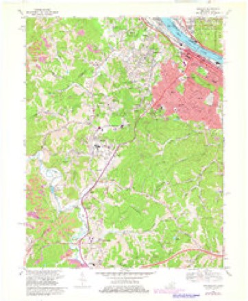
22 topographic sheets cover this place, the earliest surveyed in 1901 and the latest in 1982. It stands in the Ashland census division. It lies in ZIP code area 41101. It stands on Little Hood Creek. The Survey maps it on the Ashland quadrangle. 4,387 people lived here at the 2020 count. It stands 682 feet above sea level.
Population over time
2 figuresWestwood fell from 4,746 to 4,387 between 2010 and 2020. These are the recorded population figures Wikidata holds for this place, reached through the Geographic Names Information System number this page is keyed on rather than by name, so they belong to this place and not to another of the same name. Most are census counts, but not all are: an early figure may be a founding or settlement estimate, and an estimate published within five years of a census is left out. The change column is computed, and is left blank where more than 20 years separate a figure from the one before it, because a gap that long is not a change between two counts.
| Year | People | Change |
|---|---|---|
| 2010 | 4,746 | |
| 2020 | 4,387 | -359 (-8%) |
Topographic sheets covering this place
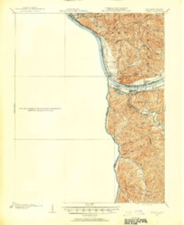
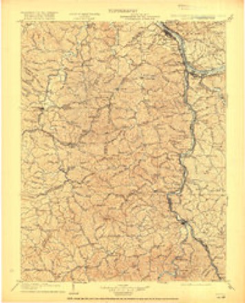
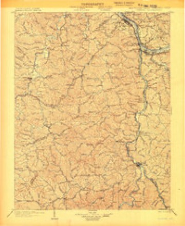
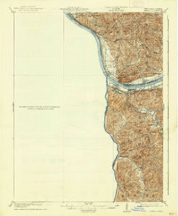
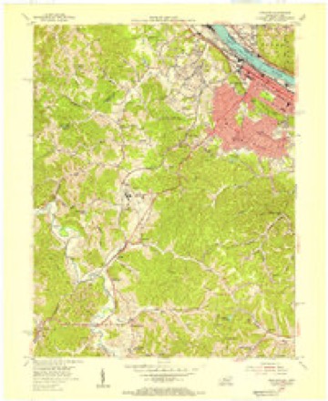
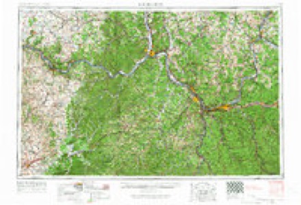
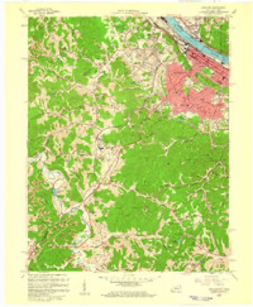
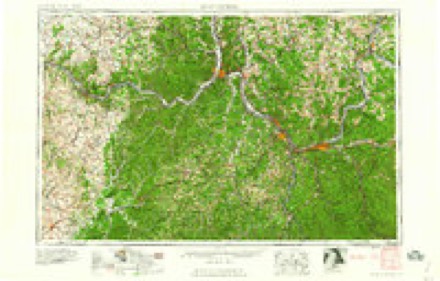
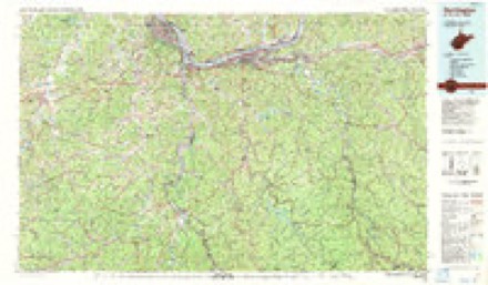
10 surveys from 22 printed sheetsMatched by testing this settlement's coordinate against the published boundary of every sheet in the United States Geological Survey's historical collection. Each opens the scanned sheet at the Survey.
- 1901 USGS Ceredo quadrangle1:62500, 2 printings
- 1903 USGS Kenova quadrangle1:125000, 5 printings
- 1904 USGS Kenova quadrangle1:125000
- 1913 USGS Ceredo quadrangle1:62500, 4 printings
- 1953 USGS Ashland quadrangle1:24000
- 1957 USGS Huntington quadrangle1:250000, 3 printings
- 1958 USGS Ashland quadrangle1:24000
- 1960 USGS Huntington quadrangle1:250000
- 1968 USGS Ashland quadrangle1:24000, 3 printings
- 1982 USGS Huntington quadrangle1:100000
Fires near this place
123 since 1997Regional context, not property-specific evidence. The federal wildfire occurrence database lists 123 fires within 5 miles of Westwood between 1997 and 2020, burning about 996 acres in total. None started naturally. 20 were recorded as arson. Distance is straight-line from the map coordinates, so a fire counted here may appear on a neighbouring settlement's page as well.
| Reported cause | Fires |
|---|---|
| Debris and open burning | 63 |
| Arson/incendiarism | 20 |
| Missing data/not specified/undetermined | 18 |
| Recreation and ceremony | 8 |
| Equipment and vehicle use | 4 |
| Power generation/transmission/distribution | 4 |
| Misuse of fire by a minor | 2 |
| Other causes | 2 |
| Railroad operations and maintenance | 1 |
| Smoking | 1 |
The most recent of them, most recent first, with the day each was reported and the service that recorded it.
| Date | Cause | Size | Reported by | Name on the report |
|---|---|---|---|---|
| 7 September 2007 | Power generation/transmission/distribution | 11 acres | Wayne National Forest | WIND FIRE |
| 24 September 2007 | Missing data/not specified/undetermined | 1.0 acres | Wayne National Forest | IRONTON #1 FIRE |
| 29 August 2018 | Debris and open burning | under an acre | Wayne National Forest | CABIN |
| 12 August 1998 | Equipment and vehicle use | 10 acres | Kentucky Division of Forestry | not named |
| 4 July 2012 | Missing data/not specified/undetermined | under an acre | Kentucky Division of Forestry | REBEL ROAD |
| 11 May 2007 | Railroad operations and maintenance | 2.0 acres | Kentucky Division of Forestry | not named |
| 9 April 2001 | Arson/incendiarism | 3.0 acres | Kentucky Division of Forestry | not named |
| 8 April 1997 | Arson/incendiarism | 2.0 acres | Kentucky Division of Forestry | not named |
Settlements close enough to share some of these fires:
Mines and quarries near this place
4 within 5 milesRegional context, not property-specific evidence. The federal mineral resources record lists 4 workings within 5 miles of Westwood: 3 past producers, 1 unknown. None of them still produces. What was taken out: Sand and Gravel, Construction, Iron, Clay. Distance is straight-line from the map coordinates, so a quarry counted here may appear on a neighbouring settlement's page as well.
| Where | Site | Commodity | Status | Recorded |
|---|---|---|---|---|
| Armco Steel/ Ashland, Ky. | Iron | Unknown | ||
| Ironton Plant Number 85 | Clay | Past Producer | ||
| Jerrys Sand and Gravel Pit | Sand and Gravel, Construction | Past Producer | Sedimentary | |
| Jerrys Sand and Gravel Pit | Sand and Gravel, Construction | Past Producer |
Storms near this place
24 since 2001Regional context, not property-specific evidence. The National Weather Service names Westwood in 24 storm reports between 2001 and 2024: 10 flood, 8 flash flood, 6 thunderstorm wind. No death or injury is recorded in these reports. Each account below is quoted exactly as the forecast office filed it, from the NOAA Storm Events Database, and each date opens the federal record of that event.
| When | Event | Place named | Harm | What the report says |
|---|---|---|---|---|
| May 2011 | Flash Flood | Westwood | $1,200,000 | Serious urban flooding occurred in and around the city of Ashland. Water was up to the windshields on several stalled vehicles. Lexington Ave and Route 60 were a few of the flooded streets. Basement flooding was common. One house had its foundation weakened. Some roads along rural streams were flooded, but damage was worst in the urban areas. |
| August 2014 | Flash Flood | Westwood | $250,000 | Both urban and rural flash flooding occurred during the early evening hours of a Friday night. Numerous streets in Ashland were flooded with several vehicles flooded. Water even pooled on their high school football field from the overwhelmed drainage system, causing the first game of the season to be canceled. ||Vehicles were also flooded on roads around Summit and Ironville. In Ironville, some people were trapped in houses surrounded by water. In the Cannonsburg vicinity, streams along Route 3 such as Laurel Creek and Lower Chadwick Creek flooded. One house had its first floor flooded, and its residents were rescued from the second floor. |
| June 2014 | Thunderstorm Wind | Westwood | $150,000 | At least 10 trees were blown down. A few homes and vehicles were damaged. Power lines were also knocked down. |
| August 2007 | Thunderstorm Wind | Westwood | $100,000 | Numerous trees fell, some onto house and cars, others blocked roads. Electricity was out to several thousand customers, including schools. |
| May 2001 | Flash Flood | Westwood | $85,000 | Hoods Creek flooded a few homes in the Westwood region. The East Fork of the Little Sandy River damaged a couple homes. |
| July 2009 | Flash Flood | Westwood | $75,000 | A downpour of 60 to 75 minutes in duration dumped 2 to 2.4 inches of rain across a narrow corridor. The automated rain gauge at Wildwood Lake, south of downtown Ashland measured 1.3 inches in 30 minutes and 2.2 inches in an hour. The soil was still wetter than normal for mid July. Small streams, such as Keys and Catletts Creeks briefly flooded and temporarily blocked roads. Homes on Hatchery Road saw poor drainage flooding. Basement flooding was reported in Catlettsburg. A few vehicles stalled in the high water. The damage did not warrant any disaster declaration. |
| May 2001 | Flash Flood | Westwood | $75,000 | Streams in the western and southern portion of the county were affected more than in the northeast. The East Fork of the Little Sandy flooded roads. People were forced out of their homes along Hoods Creek in Westwood. Around 40 homes in the county had minor damage. |
| April 2015 | Flood | Westwood | $25,000 | Streams overflowed and blocked roads. This included Route 854 along Rush Creek. |
| June 2014 | Thunderstorm Wind | Westwood | $25,000 | Trees were blown down. A few house roofs and vehicles were damaged by the fallen trees. |
| March 2015 | Flood | Westwood | $20,000 | The Ohio River crested above flood stage again during the evening of the 14th. The level at Ashland was around 53.6 feet. Flood stage is 53 feet. This crest was 1 to 2 feet lower than the recent high water on the 6th and 7th of the month. A few flood gates were installed in the flood walls including the town of Catlettsburg. Low lying areas and up feeder streams saw minor flooding. |
| December 2019 | Flood | Westwood | $6,000 | Multiple creeks and streams flooded, closing several roads. This included Rosemont Drive near Route 5 due to flooding along Hood Creek. Rush Creek flooded several sections of Route 854. Also, Williams Creek flooded a section of Route 5. |
| March 2013 | Flash Flood | Westwood | $5,000 | Streams overflowed and blocked roads in scattered locations in much of the county. Little Hood Creek flooded the bridge at the intersection of Iowa and Pritchard in Westwood. Another example, was along Trace Fork and Rush Creek. They flooded roads. Water surrounded a few buildings. |
| April 2024 | Flood | Westwood | $2,000 | The Ohio River gauge at Ashland rose above flood stage on the morning of April 6th, crested to around 52 feet that evening, and then fell back below flood stage early the next morning. Minor flooding of low lying areas in the town of Ashland occurred during this time due to backwater from the draining creeks. The Catlettsburg flood gate at 15th and Center Street was also closed while the river was above its flood stage. |
| February 2020 | Flood | Westwood | $2,000 | The gage in Ashland indicated the Ohio River rose above its 52 feet minor flood stage on the afternoon of the 13th. It crested at 54.6 feet very early on the morning of the 15th, and receded back below flood stage 24 hours later on the 16th. Minor flooding of roadways in low lying areas near the river occurred during this time, mainly due to backwater. |
| February 2019 | Flood | Westwood | $2,000 | The Ohio River flooded near Ashland, closing several roads near the river.||The river gage at Ashland showed the river rose above its 52 foot flood stage early on the 25th. It crested around 53.2 feet that night and returned to its banks late afternoon on the 26th. |
| December 2018 | Flood | Westwood | $2,000 | Several low lying streets were flooded as the Ohio River rose just above minor flood stage. The river gage on the Ohio at Ashland showed the river rose above its 52 foot minor flood level late on the 23rd. It crested several inches above flood stage early on the 24, before returning below 52 feet around noon. |
| June 2008 | Thunderstorm Wind | Westwood | $2,000 | Outbuildings and trees were blown down. |
| October 2001 | Thunderstorm Wind | Westwood | $2,000 | A few large trees and power lines were blown down. A transformer was damaged in the Westwood vicinity. |
| February 2022 | Flood | Westwood | $1,000 | High water occurred over the road near the intersection of Blackburn Avenue and Roberts Drive near the city of Ashland. |
| April 2024 | Flood | Westwood | - | The Ohio River at Ashland rose above flood stage shortly after midnight on the 15th of April. The river continued to rise to a crest of around 52 feet later that morning and then eased back below flood stage that evening. Minor flooding of roads in low lying areas near Catlettsburg occurred during the time the Ohio River was above its flood stage. |
| June 2024 | Flash Flood | Westwood | - | In Ashland, Front Street was flooded for a brief period of time. |
| August 2016 | Flash Flood | Westwood | - | Minor flooding occurred along some side streets in Ashland. High water partially blocked Route 168. |
| June 2005 | Thunderstorm Wind | Westwood | - | Trees and power lines fell. |
| April 2008 | Flood | Westwood | - | no account filed |
Nearest settlements
The eight closest, with where each one stands in the county. Distances are straight-line, computed from the Geographic Names Information System coordinates.
| Map | Place | Distance | Sheets |
|---|---|---|---|
| Millseat | 0.5 miles | 22 | |
| Fairview | 0.6 miles | 22 | |
| West Fairview | 1.3 miles | 22 | |
| Ashland | 1.7 miles | 22 | |
| Winslow | 2.1 miles | 22 | |
| Ironville | 2.2 miles | 22 | |
| Geigers Crossing (historical) | 2.5 miles | 22 | |
| Summit | 3.5 miles | 22 |
Elsewhere
Matched on this settlement's Geographic Names Information System number rather than its name, so it cannot be a different place of the same name in another state.
| Wikipedia article on Westwood | An encyclopaedic summary. Its text is share-alike, so it is linked here rather than copied. |
| Wikidata item Q3315898 | The structured record the population and elevation above come from. Public domain (CC0). |
Provenance
This settlement is recorded in the Geographic Names Information System as feature 506507. The sheet list is computed by point-in-boundary test against the United States Geological Survey's historical topographic inventory. Both are works of the United States government and carry no copyright under 17 U.S.C. 105.
Wildfire. Short, Karen C. 2022. Spatial wildfire occurrence data for the United States, 1992-2020 [FPA_FOD_20221014]. 6th Edition. Fort Collins, CO: Forest Service Research Data Archive. https://doi.org/10.2737/RDS-2013-0009.6 Collected with United States Government funding and usable without additional permissions or fees.
Mines and quarries. USGS Mineral Resources Data System (MRDS) https://mrdata.usgs.gov/mrds/ A work of the United States government, no copyright under 17 U.S.C. 105.
Storms. NOAA National Centers for Environmental Information, Storm Events Database https://www.ncei.noaa.gov/stormevents/ A work of the United States government, no copyright under 17 U.S.C. 105. Narratives are quoted verbatim from the National Weather Service report and are not edited or summarised.