Block
From the record
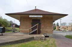
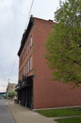
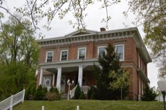
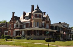
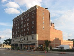
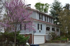
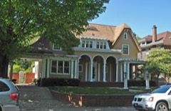
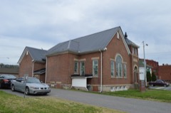
25 National Register listings published here.
Sources: the National Register database, National Park Service
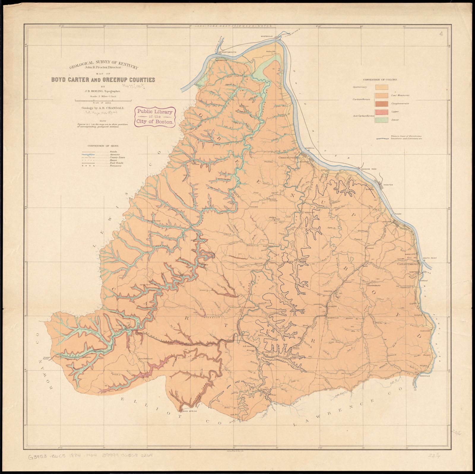
45 topographic sheets and 17 fire insurance atlases across 2 places.
25 National Register listings published here.
Sources: the National Register database, National Park Service
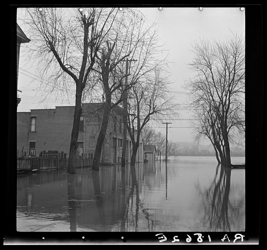
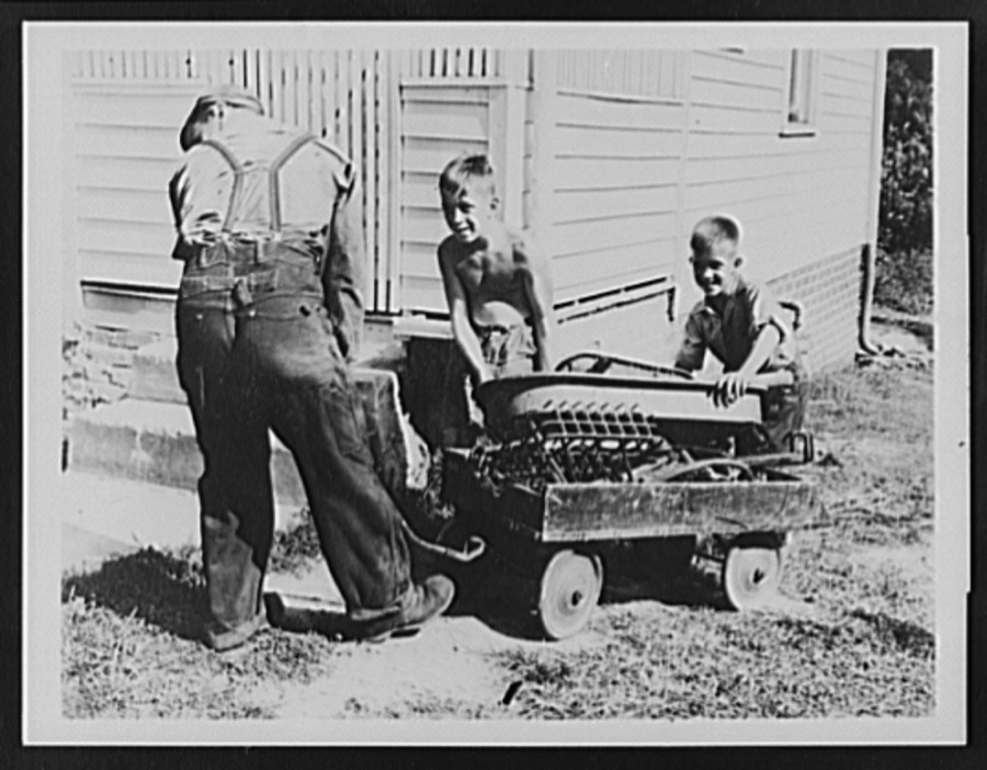
Taken for the Office of War Information and the Farm Security Administration, who photographed the country between 1935 and 1944. Works of United States government photographers, with no known restriction on use. Each opens its catalogue record.
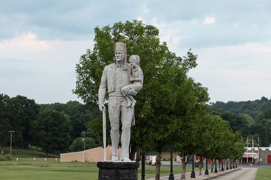


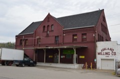
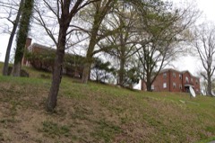
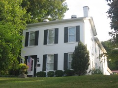
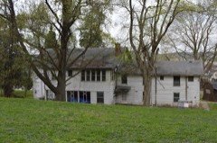
Every property in this county listed on the National Register of Historic Places, with the year it was listed and the federal nomination document.
Selected from the Digital Public Library of America's 7 image records catalogued for this county. Every one shown here carries a public-domain status or a licence that permits reuse on a site that carries advertising; non-commercial, share-alike and restricted images are excluded. The selection is spread across the county's towns (at most eight per town), so no single institution's bulk upload crowds out the rest. Each opens the holding library's record, and the complete set at the Digital Public Library of America is one click away.


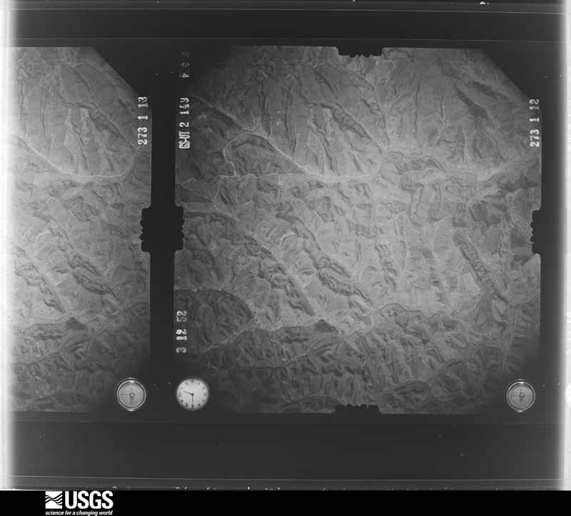
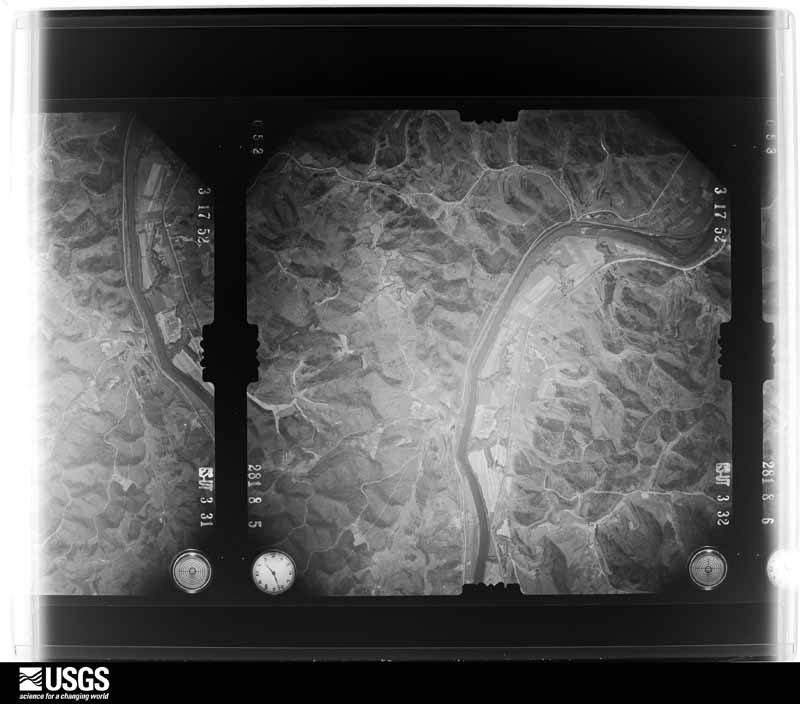
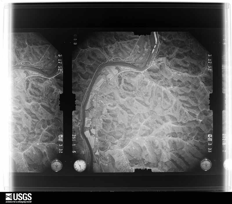
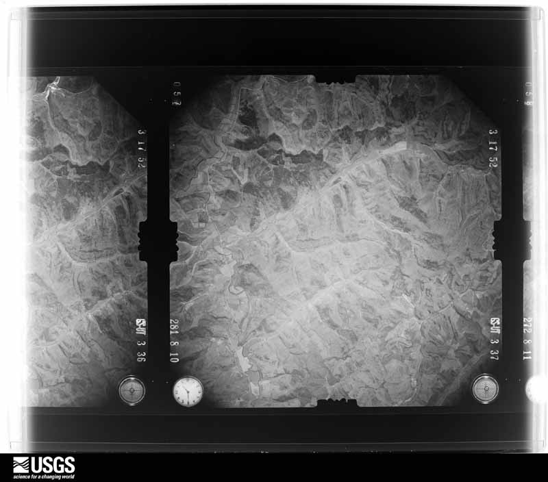
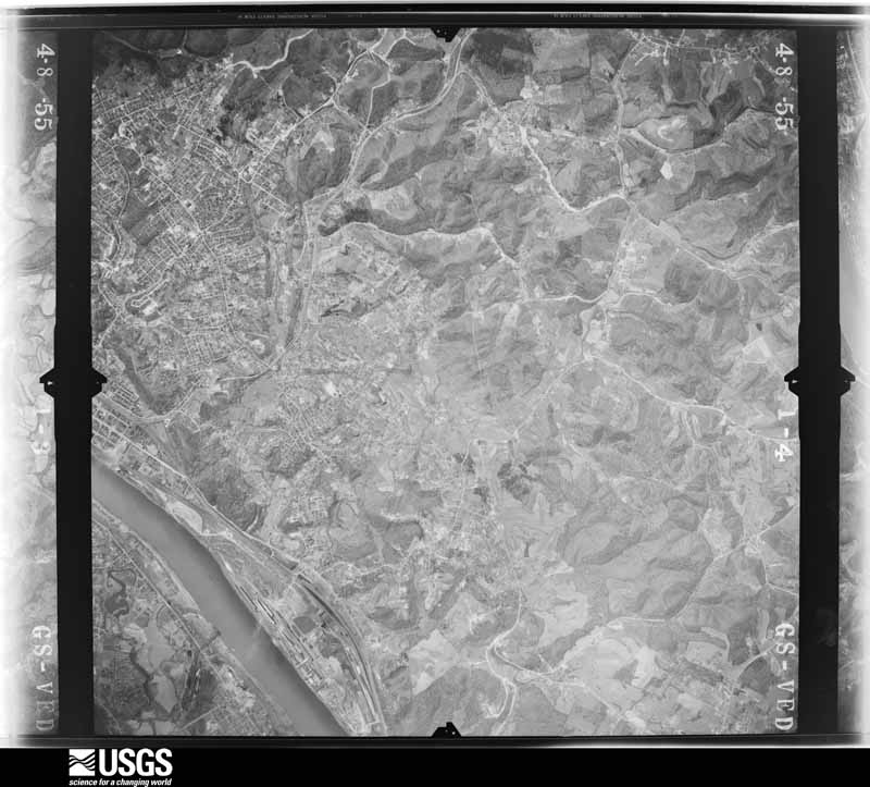
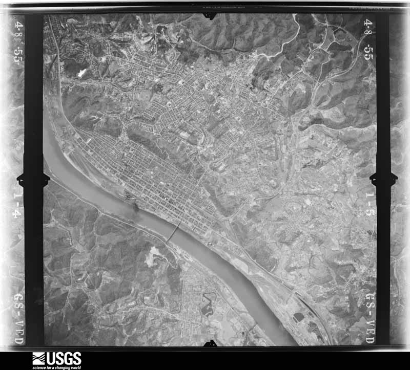
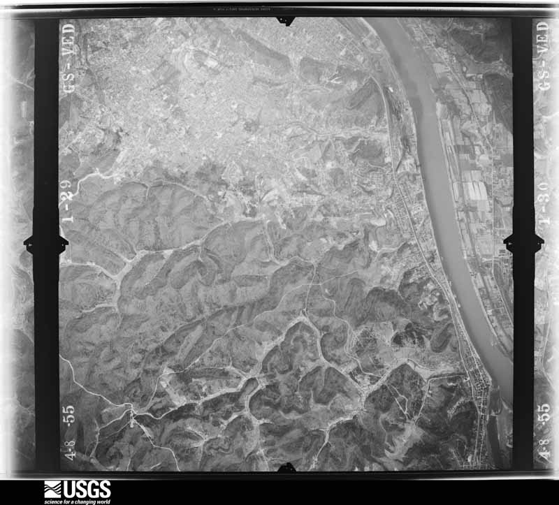
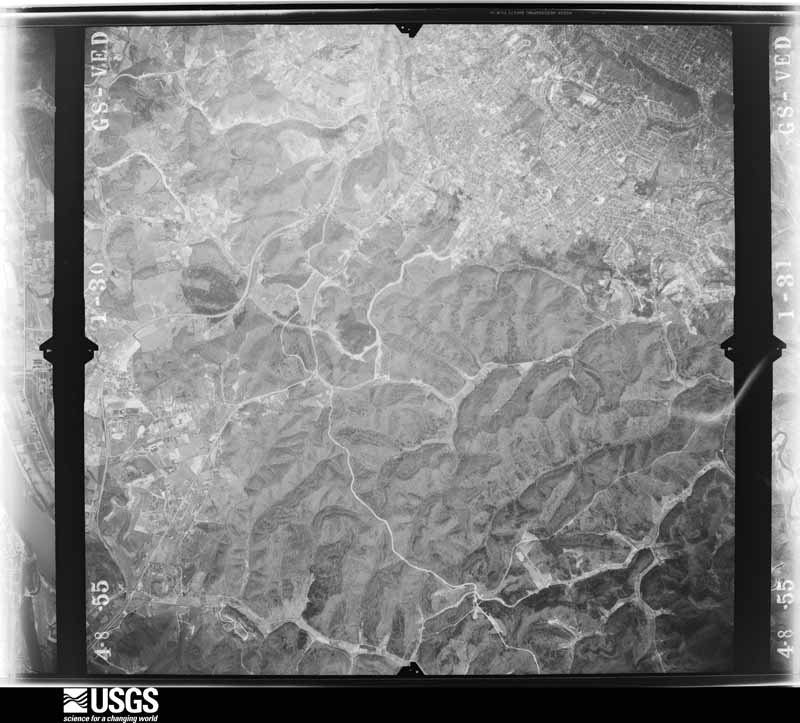
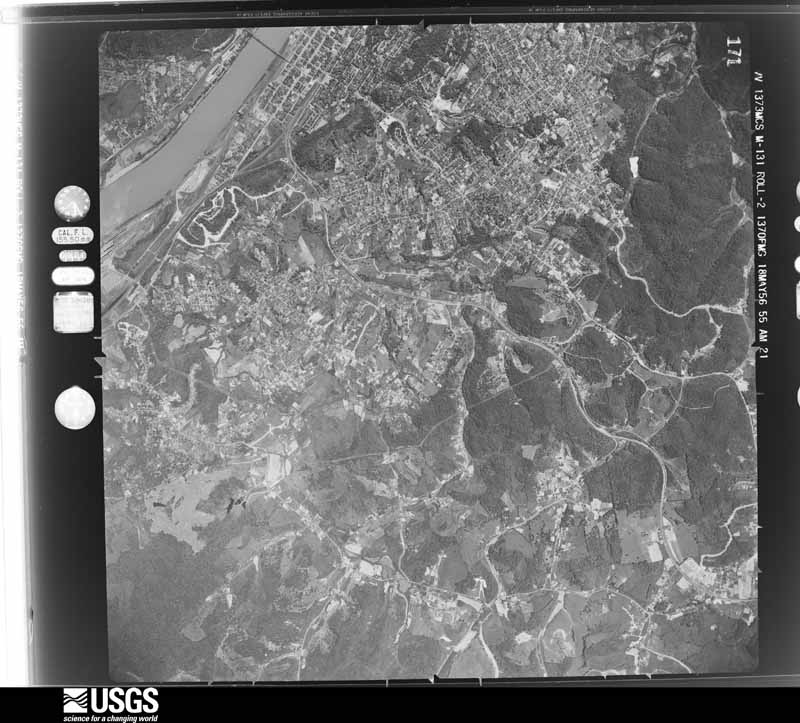
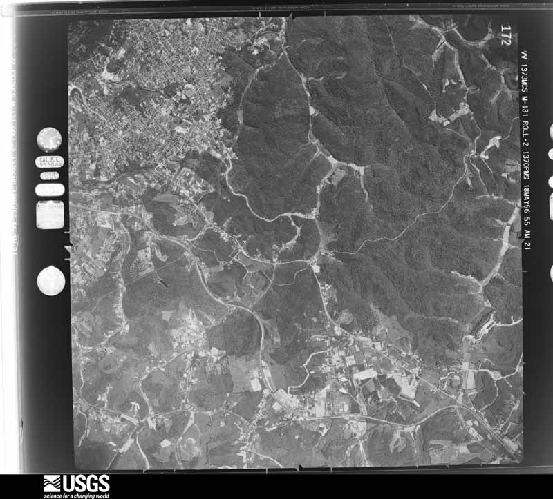
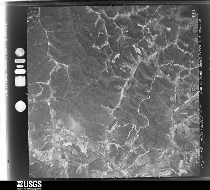
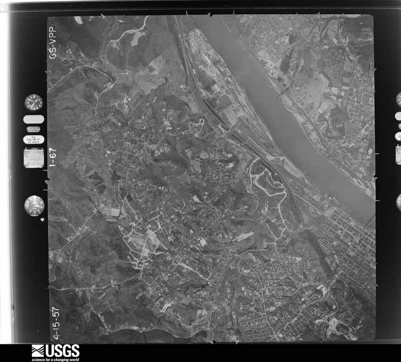
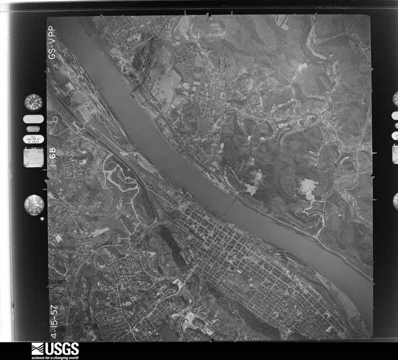
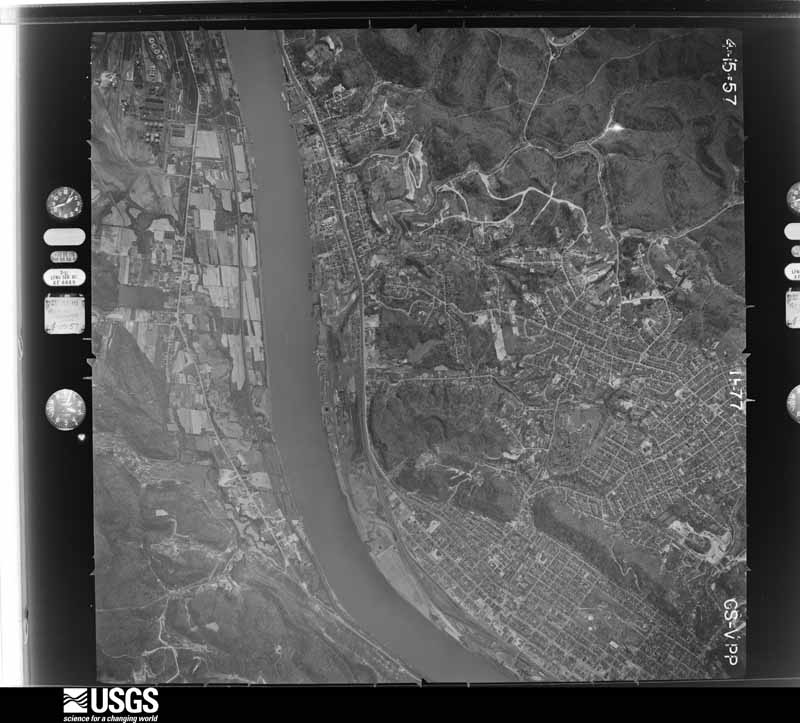
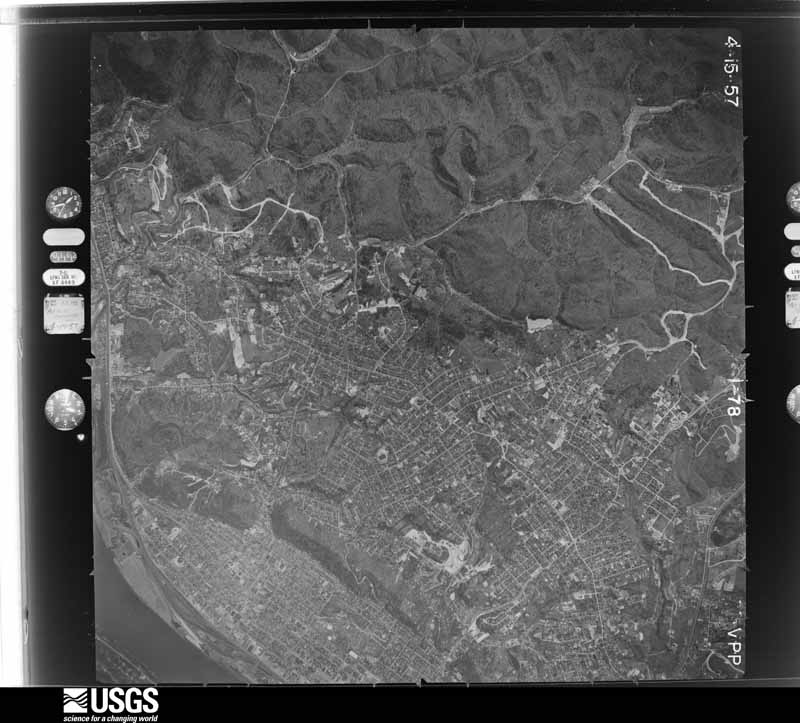
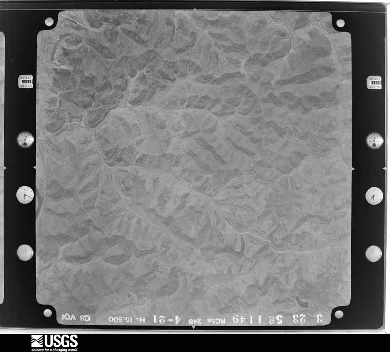
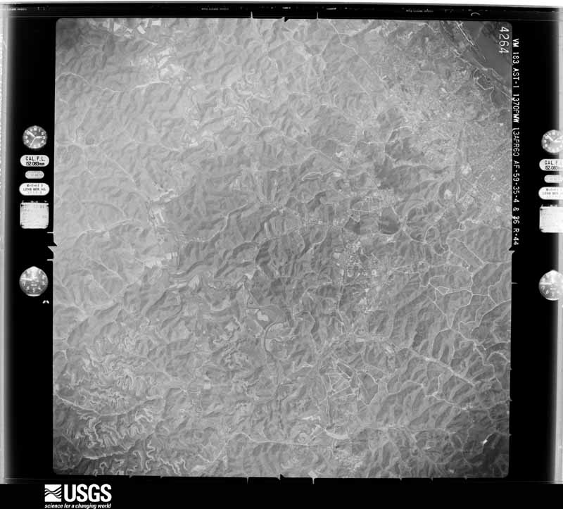
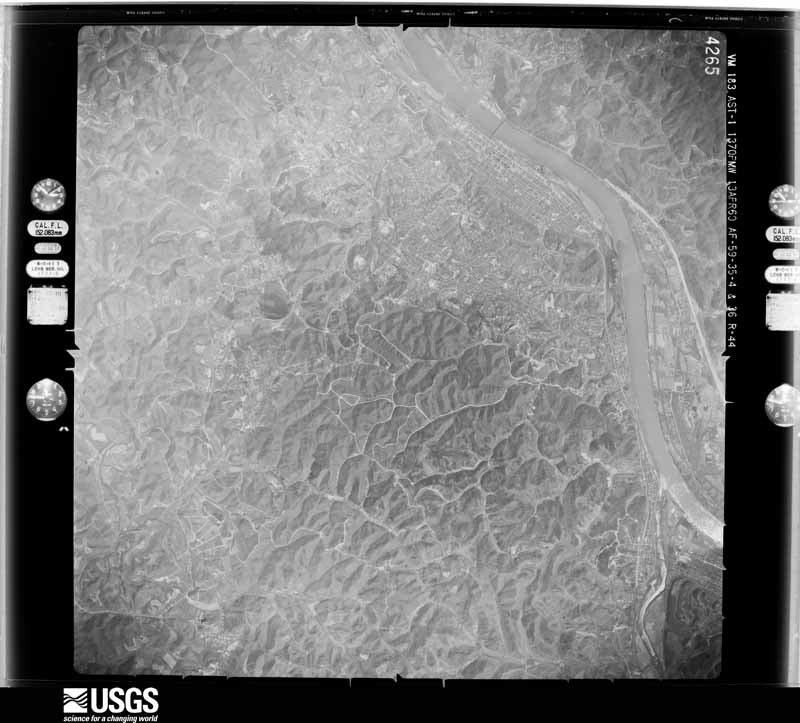
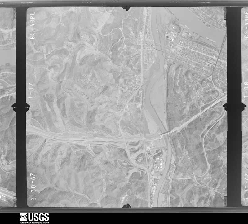
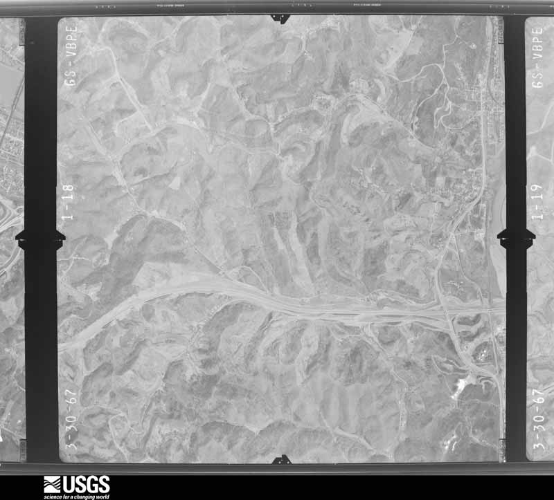
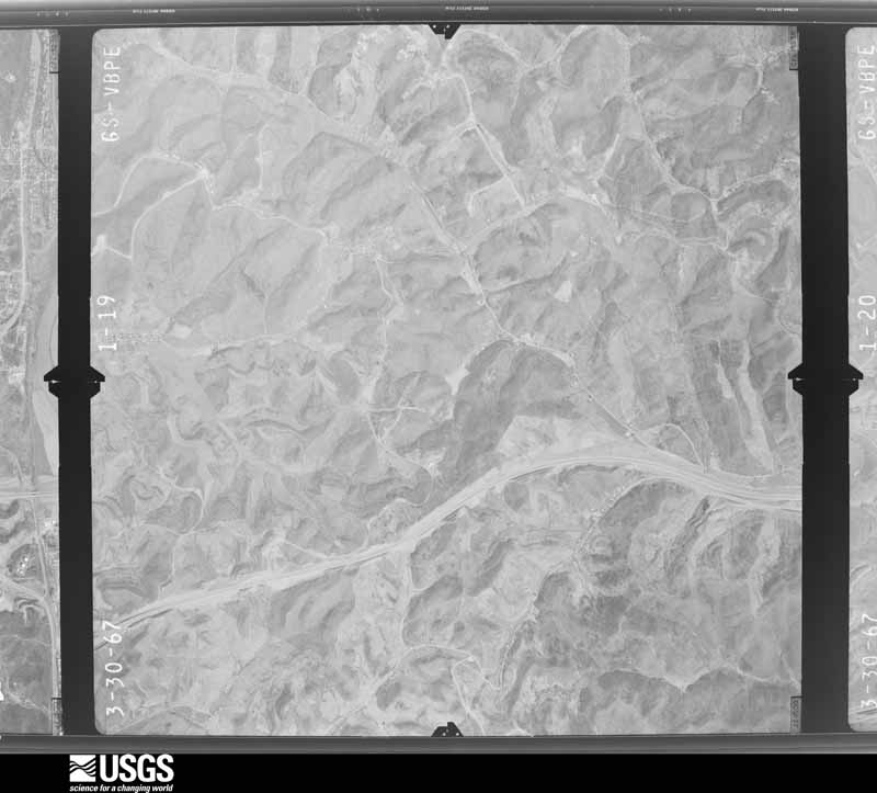
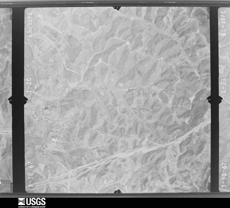
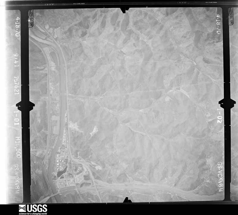
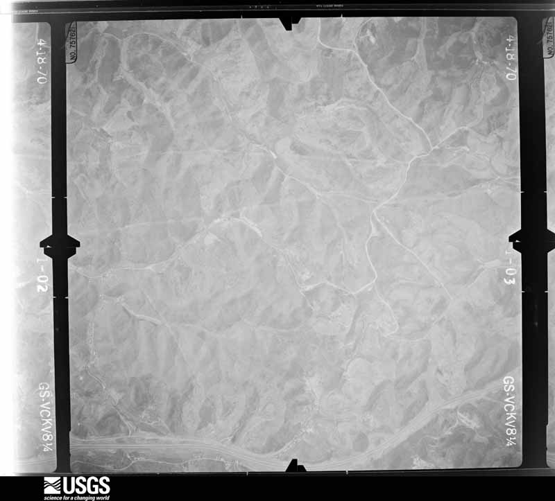
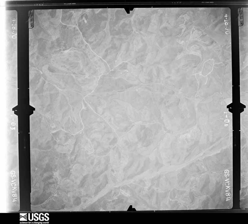
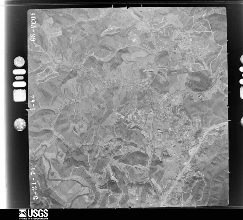
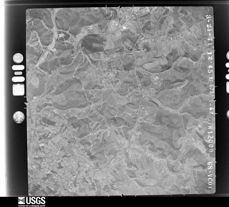
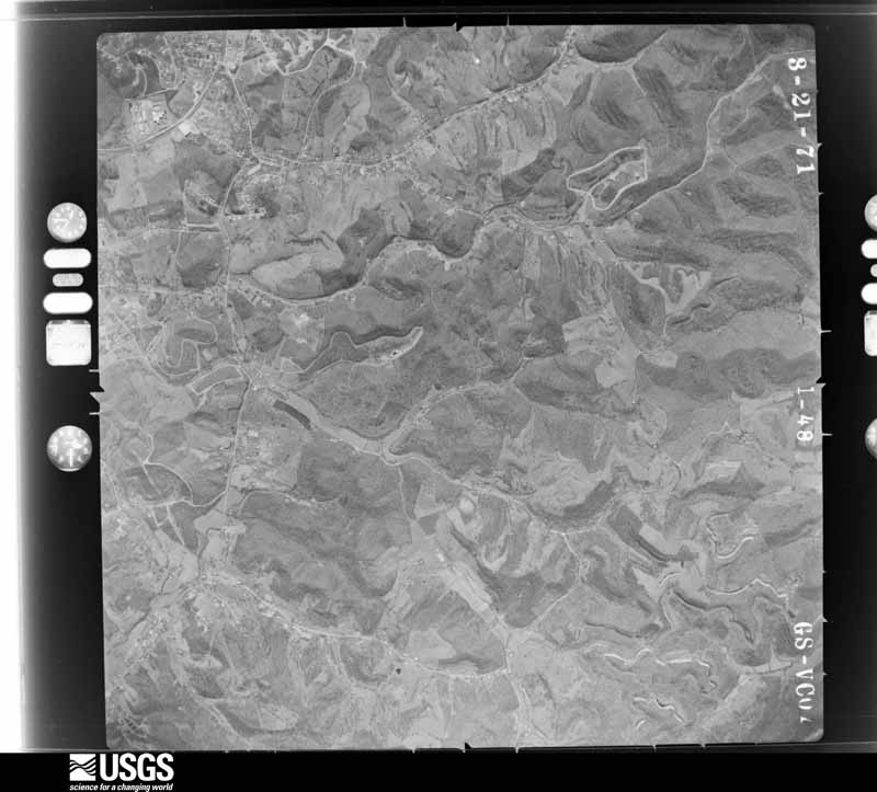
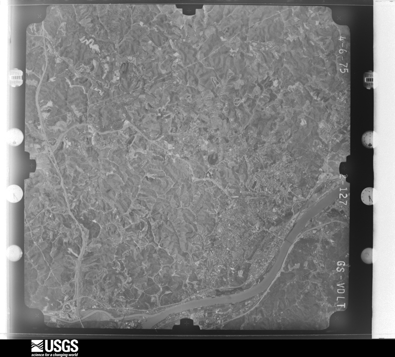
Flown by the U.S. Geological Survey between 1937 and 1989, the Aerial Photo Single Frames collection is the definitive mid-century view of the land: fields, roads and rivers as the camera saw them. The Survey holds 574 frames inside the rectangle that bounds this county; the 36 frames below were taken over the county itself, chosen across the decades of flights (at most four a year from that rectangle), so one flight cannot crowd out the rest. The full set is free to browse and download at EarthExplorer under the dataset Aerial Photo Single Frames.







The thermometers that kept this county's weather, and the gages that measured the flow of its streams, as the federal records hold them. The extremes below are measured values from those records, not estimates.
Who lived here in 1950, one enumeration district at a time, as the Census Bureau described each district. Each row opens its official National Archives result, with Population Schedules and ED Maps available there.
Every wildfire the federal occurrence database records inside this county: 188 of them, burning about 1,917 acres. 1 started naturally and 32 were recorded as arson. Each settlement page carries the fires within five miles of it.
| Reported cause | Fires |
|---|---|
| Missing data/not specified/undetermined | 51 |
| Debris and open burning | 49 |
| Recreation and ceremony | 43 |
| Arson/incendiarism | 32 |
| Equipment and vehicle use | 5 |
| Railroad operations and maintenance | 4 |
| Smoking | 2 |
| Natural | 1 |
| Misuse of fire by a minor | 1 |
The five largest, by the area the report gives. One of them was set deliberately.
| Date | Cause | Size | Reported by | Name on the report |
|---|---|---|---|---|
| 16 April 2016 | Recreation and ceremony | 170 acres | Kentucky Division of Forestry | SPEARS ROAD |
| 9 March 2000 | Equipment and vehicle use | 150 acres | Kentucky Division of Forestry | not named |
| 28 March 2003 | Missing data/not specified/undetermined | 125 acres | Kentucky Division of Forestry | not named |
| 22 March 2014 | Debris and open burning | 105 acres | Kentucky Division of Forestry | BIG RUN TRACE RD. |
| 23 March 2004 | Missing data/not specified/undetermined | 100 acres | Kentucky Division of Forestry | not named |
| 29 March 2001 | Arson/incendiarism | 100 acres | Kentucky Division of Forestry | not named |
| 13 March 2004 | Missing data/not specified/undetermined | 95 acres | Kentucky Division of Forestry | not named |
| 26 March 2004 | Missing data/not specified/undetermined | 75 acres | Kentucky Division of Forestry | not named |
Every settlement page carries the fires within five miles of it - see the settlement index below.
The NOAA Storm Events Database holds 272 reports for this county, causing no deaths, 1 injury and about $13,457,250 in recorded property damage. Each settlement page carries the reports that name it.
| Kind of event | Reports |
|---|---|
| Thunderstorm Wind | 120 |
| Hail | 51 |
| Flash Flood | 46 |
| Flood | 42 |
| Tornado | 5 |
| Heavy Rain | 3 |
| Lightning | 3 |
| Funnel Cloud | 2 |
The most serious of them, by death, then injury, then recorded damage. The accounts are quoted exactly as the forecast office filed them.
| When | Event | Place named | Harm | What the report says |
|---|---|---|---|---|
| April 1987 | Thunderstorm Wind | not stated | 1 hurt | no account filed |
| July 1996 | Flash Flood | Countywide | $3,000,000 | no account filed |
| July 1980 | Tornado (F2) | not stated | $2,500,000 | no account filed |
| May 2011 | Flash Flood | Westwood | $1,200,000 | Serious urban flooding occurred in and around the city of Ashland. Water was up to the windshields on several stalled vehicles. Lexington Ave and Route 60 were a few of the flooded streets. Basement flooding was common. One house had its foundation weakened. Some roads along rural streams were flooded, but damage was worst in the urban areas. |
| June 2012 | Thunderstorm Wind | Summit | $1,000,000 | Large trees and branches fell in scattered locations throughout the county. |
| March 1997 | Flash Flood | Countywide | $750,000 | no account filed |
| February 2000 | Flash Flood | Countywide | $700,000 | no account filed |
| May 2010 | Flood | Ashland | $500,000 | In Boyd County, the flooding damaged 28 homes, 11 were major damage. About 25 people were rescued from various locations in the county. Roads such as Tarpin Ridge and Marsh Hill received significant damage. The county high school baseball, softball, and football fields were completely submerged. Equipment for the fields and the concession stand was damaged. |
| August 2014 | Flash Flood | Westwood | $250,000 | Both urban and rural flash flooding occurred during the early evening hours of a Friday night. Numerous streets in Ashland were flooded with several vehicles flooded. Water even pooled on their high school football field from the overwhelmed drainage system, causing the first game of the season to be canceled. ||Vehicles were also flooded on roads around Summit and Ironville. In Ironville, some people were trapped in houses surrounded by water. In the Cannonsburg vicinity, streams along Route 3 such as Laurel Creek and Lower Chadwick Creek flooded. One house had its first floor flooded, and its residents were rescued from the second floor. |
| July 1980 | Tornado (F1) | not stated | $250,000 | no account filed |
| April 1965 | Tornado (F3) | not stated | $250,000 | no account filed |
| April 2024 | Tornado (EF2) | Garner | $200,000 | An EF2 tornado with estimated maximum winds of up to 120 miles per hour took a northeasterly track down Long Branch Road. The tornado caused considerable and significant tree damage with several large hardwood trees snapped and uprooted. A home was severely damaged when the roof was blown off, and other homes also suffered at least minor damage. Several barns and outbuildings were destroyed. The tornado then crossed the ridge between Long Branch Road and Jacks Fork Road and turned east, skipping along the ridgetops causing additional tree damage before lifting. |
| May 2003 | Flash Flood | South Portion | $200,000 | no account filed |
| June 2014 | Thunderstorm Wind | Westwood | $150,000 | At least 10 trees were blown down. A few homes and vehicles were damaged. Power lines were also knocked down. |
| June 2014 | Thunderstorm Wind | Ashland | $150,000 | Trees were blown down in scattered locations about the city. One tree went through the roof of a house on Chadwick Street, but there were no injuries. |
| July 2011 | Flash Flood | Cannonsburg | $150,000 | Rain amounts of 2 to 3 inches likely fell in less than 2 hours. Around 25 homes flooded, mainly in the Countryside Drive and Hatchery Road vicinity south of Summit. A partially collapsed culvert helped pool the upstream water there. Roads were closed and a few water rescues also occurred. |
| April 2024 | Tornado (EF1) | Ironville | $100,000 | An EF1 tornado skipped along a path of straight-line wind damage likely beginning along Daniels Fork Road near the town of Westwood. The tornado then continued across State Route 5, moving eastward and crossing Rose Road and then ending at the top of the hill after crossing Pine Street. ||The most significant damage occurred along Rose Road. A single-wide trailer was flipped over, a section of a home was broken off from the rest of the structure and moved several feet, and several other homes and structures were significantly damaged. |
| June 2012 | Thunderstorm Wind | Ashland | $100,000 | Large trees and branches were blown down, some fell onto vehicles. In the aftermath, due to the lack of electricity, several citizens in town used charcoal grills to cook donated food before it spoiled. |
| May 2010 | Flash Flood | Catlettsburg | $100,000 | A narrow band of 2 to 3 inches of rain fell. Paddle Creek flooded and damaged houses. About 8 to 9 houses were affected. A few vehicles were also flooded. |
| August 2007 | Thunderstorm Wind | Westwood | $100,000 | Numerous trees fell, some onto house and cars, others blocked roads. Electricity was out to several thousand customers, including schools. |
| June 2003 | Flash Flood | Rush | $100,000 | On the order of 15 homes were evacuated along Rush Creek. The East Fork also flooded. Three pumping stations were damaged by flood waters. |
| July 2000 | Flash Flood | Rush | $100,000 | In the muggy air, south of a frontal zone, surface dew points were near 75 degrees. Rains rates estimated at 1.5 to 2 inches in an hour, with 2 to 4 inches in less than 3 hours flooded the small streams. Some of the streams affected include Rush Branch, Long Branch, Clays Jack Fork, and Pigeon Roost. Three homes had moderate damage and 20 homes sustained minor water damage. Water covered some roads to a depth of 2 to 4 feet. Boyd County Judge Scott declared a local state of emergency. One section of a small bridge on Clays Jack Fork was damaged. No injuries occurred. |
| May 2001 | Flash Flood | Westwood | $85,000 | Hoods Creek flooded a few homes in the Westwood region. The East Fork of the Little Sandy River damaged a couple homes. |
| March 2015 | Flood | Coalton | $75,000 | Streams began to overflow onto roads during the afternoon of the 4th. The Ohio River crested just over 55 feet at Ashland early on the 7th, about 3 feet above flood stage. |
| July 2009 | Flash Flood | Westwood | $75,000 | A downpour of 60 to 75 minutes in duration dumped 2 to 2.4 inches of rain across a narrow corridor. The automated rain gauge at Wildwood Lake, south of downtown Ashland measured 1.3 inches in 30 minutes and 2.2 inches in an hour. The soil was still wetter than normal for mid July. Small streams, such as Keys and Catletts Creeks briefly flooded and temporarily blocked roads. Homes on Hatchery Road saw poor drainage flooding. Basement flooding was reported in Catlettsburg. A few vehicles stalled in the high water. The damage did not warrant any disaster declaration. |
| May 2001 | Flash Flood | Westwood | $75,000 | Streams in the western and southern portion of the county were affected more than in the northeast. The East Fork of the Little Sandy flooded roads. People were forced out of their homes along Hoods Creek in Westwood. Around 40 homes in the county had minor damage. |
| June 2017 | Flash Flood | Ironville | $60,000 | Widespread flash flooding caused road closures across the county. Laurel Creek flooded, with water flowing over the bridge at State Route 3 and Jula Lane in Cannonsburg. Hood Creek came out of its banks, closing State Route 5 near Rockhouse Road. One driver had to be rescued. Water flowed over a bridge near the intersection of Prichard and Iowa Street in Westwood due to flooding along Little Hood Creek. In the Rush area, Long Branch Road and State Route 854 were closed due to flooding from Long Branch and Garner Creek. One house received minor flood damage. |
| June 2017 | Flash Flood | Princess | $60,000 | Williams Creek was out of its banks. Water made it into multiple homes. |
| April 2024 | Thunderstorm Wind | Princess | $50,000 | Measured on a Davis Weather Station mounted on the roof of the Boyd County Emergency Operations Center. Several buildings in the Industrial Park suffered damage to their roofs and their garage doors were blown in. |
| June 1994 | Thunderstorm Wind | not stated | $50,000 | The sheriff's office reported trees down across power lines and an outbuilding along Route 3 four miles south of I-65. |
| March 1997 | Flash Flood | Countywide | $50,000 | no account filed |
| June 2016 | Flash Flood | Kilgore | $40,000 | Streams in the southern portion of the county flooded and closed roads, including Route 854. Residents were confined to their homes. A few of the affected streams included Rush Creek, Trace Fork, and Long Branch. |
| May 2001 | Flash Flood | Countywide | $30,000 | Another round of flooded roads occurred. County officials reported road damage. Two bridges were also damaged. |
| April 2024 | Thunderstorm Wind | Winslow | $25,000 | A long swath of uprooted and snapped trees were observed along Southern Hills Drive. Several homes suffered damage from the fallen trees. |
| May 2018 | Thunderstorm Wind | Ashland | $25,000 | A tree was blown over and fell onto a house. |
| May 2016 | Flash Flood | Rockdale | $25,000 | Streams overflowed and blocked roads. Shope Creek washed out a section of Route 538. |
| April 2015 | Flood | Westwood | $25,000 | Streams overflowed and blocked roads. This included Route 854 along Rush Creek. |
| July 2015 | Thunderstorm Wind | Ashland | $25,000 | Several trees were blown down. Electric power outages occurred. |
| June 2014 | Thunderstorm Wind | Westwood | $25,000 | Trees were blown down. A few house roofs and vehicles were damaged by the fallen trees. |
| April 2011 | Thunderstorm Wind | Ashland | $25,000 | Trees were blown down. Some power lines were brought down. One tree fell onto a car. |
| April 2011 | Flood | Rush | $25,000 | Streams such as Rush Creek and Williams Creek flooded and blocked roads. A few structures were surrounded by water. |
| June 2001 | Flash Flood | Garner | $25,000 | The flash flooding in eastern Carter County also affected extreme western portions of Boyd County. Route 854 was flooded. A few private bridges were damaged. |
| March 2021 | Flood | Catlettsburg | $20,000 | In the town of Ashland, the Ohio River rose above its 52 foot flood stage on the second day of March. The river crested at 58 feet on March 3rd and would gradually return to its banks a few days later on the 5th. Backwater caused flooding to occur along Route 3 down into Catlettsburg and surrounding areas of Ashland outside of the flood wall. |
| March 2015 | Flood | Westwood | $20,000 | The Ohio River crested above flood stage again during the evening of the 14th. The level at Ashland was around 53.6 feet. Flood stage is 53 feet. This crest was 1 to 2 feet lower than the recent high water on the 6th and 7th of the month. A few flood gates were installed in the flood walls including the town of Catlettsburg. Low lying areas and up feeder streams saw minor flooding. |
| November 2013 | Thunderstorm Wind | Ashland | $20,000 | Wind gusts were estimated at 60 to 65 mph. One tree fell onto a garage. |
| July 2010 | Flash Flood | Summit | $20,000 | Overflowing streams blocked roads, including portions of Route 5. However, damage to dwellings was minimal. |
| September 2006 | Flash Flood | Countywide | $20,000 | Rains of 2 to 2.5 inches were widespread. Multiple roads were impassible. |
| May 1995 | Thunderstorm Wind | Ashland | $20,000 | Ashland police closed several streets until crews removed fallen trees. One tree destroyed a carport and damaged the roof of a home. One resident said, "It looked like war zone." Carter County also had several trees and power lines blown down. |
| May 2011 | Hail | Ashland | $20,000 | no account filed |
| May 2011 | Hail | Ashland | $20,000 | no account filed |
| March 2011 | Flood | Catlettsburg | $20,000 | no account filed |
| April 2024 | Thunderstorm Wind | Winslow | $15,000 | Trees and power lines were blown down on Lowman Drive and Leighwood Drive. |
| February 2016 | Flash Flood | Rush | $15,000 | The area around the mouth of Rush Creek into Williams Creek flooded and closed Route 854. The water surrounded a church. This is along the Carter County line. One vehicle stalled in the water. |
| February 2014 | Flood | Rush | $15,000 | Small streams such as Rush Creek flooded during the day. The East Fork of the Little Sandy River eventually spilled over onto a few roads and parking lots into the evening hours. |
| August 2013 | Thunderstorm Wind | Ashland | $15,000 | A thunderstorm wind gust was strong enough to blow a portion of the roof off of the Castle Apartment building in the 2300 block of Winchester Avenue. |
| July 2012 | Thunderstorm Wind | Catlettsburg | $15,000 | Trees were blown onto power lines. Electric outages occurred. |
| July 2011 | Lightning | Cannonsburg | $15,000 | Lightning struck the fire department. Assistance from Summit and East Fork volunteer fire departments helped put out the fire. The electrical system was damaged. |
| August 2007 | Flash Flood | Summit | $15,000 | Rain amounts of 2 to 3 inches in 1 to 2 hours, fell near the Little Hood Creek basin. Roads were flooded and closed. Water surrounded several homes. Some families were evacuated along McKnight Street and Old Buckley Road in Westwood as a precaution. ||The dry conditions, prior to the downpour, prevented more serious problems. |
| June 2000 | Flash Flood | Princess | $15,000 | Williams Creek came out of its banks and threatened homes along Route 5. Water receded before any evacuations were needed. |
| July 1998 | Thunderstorm Wind | Ashland | $15,000 | One building sustained minor wind damage. |
The Survey's mineral resources record lists 6 workings inside this county. 1 still produces and 5 are closed or unrecorded. Each settlement page carries the workings within five miles of it.
| Commodity | Workings |
|---|---|
| Clay | 3 |
| Iron | 2 |
| Sulfur | 1 |
The least common of them first, because a county's hundredth gravel pit says nothing its first ten did not.
| Where | Site | Commodity | Status | Recorded |
|---|---|---|---|---|
| Ashland Oil/ Catlettsburg, Ky. | Sulfur | Unknown | ||
| Armco Steel/ Ashland, Ky. | Iron | Unknown | ||
| Bolt's Fork Deposit | Iron | Prospect | ||
| Buena Vista Clay Bed | Clay | Prospect | ||
| Clinton Shale Mine | Clay | Past Producer | ||
| Princess Mine Big Run | Clay | Producer |
Named settlements recorded in the Geographic Names Information System, each with the topographic sheets covering it. Villages, hamlets and abandoned places alike. Each is shown with the nearest named watercourse or landform and the survey quadrangle it falls on. The 2 places that were also surveyed for fire insurance come first, with the number of atlases and photographs held for them.
Ashland census division · 41101 · On Clyffeside Branch · Ashland quadrangle
22 sheets, 1901 to 1982
Fire insurance: 9 atlases
Catlettsburg census division · 41129 · On Ice Dam Creek · Catlettsburg quadrangle
23 sheets, 1901 to 1982
Fire insurance: 8 atlases
Cannonsburg census division · 41129 · On Brooks Creek · Boltsfork quadrangle
21 sheets, 1901 to 1982
No longer a settlement
Catlettsburg census division · 41129 · On Big Sandy River · Catlettsburg quadrangle
23 sheets, 1901 to 1982
Cannonsburg census division · 41168 · On Bolts Fork · Boltsfork quadrangle
21 sheets, 1901 to 1982
Catlettsburg census division · 41129 · On Prichard Branch · Burnaugh quadrangle
23 sheets, 1901 to 1982
Cannonsburg census division · 41102 · On Marsh Run · Ashland quadrangle
22 sheets, 1901 to 1982
Cannonsburg census division · 41129 · On Lower Chadwick Creek · Ashland quadrangle
22 sheets, 1901 to 1982
No longer a settlement
Ashland census division · 41101 · Near Gartrell Hill · Catlettsburg quadrangle
23 sheets, 1901 to 1982
No longer a settlement
Cannonsburg census division · 41168 · On Jack Fork · Boltsfork quadrangle
21 sheets, 1901 to 1982
No longer a settlement
Ashland South census division · 41168 · On Moore Branch · Rush quadrangle
15 sheets, 1903 to 1982
Catlettsburg census division · 41129 · On Left Fork Durbin Creek · Burnaugh quadrangle
23 sheets, 1901 to 1982
Catlettsburg census division · 41129 · On Prichard Branch · Burnaugh quadrangle
23 sheets, 1901 to 1982
No longer a settlement
Ashland census division · 41102 · Near Lawhorn Hollow · Ashland quadrangle
22 sheets, 1901 to 1982
Cannonsburg census division · 41168 · On Jack Fork · Boltsfork quadrangle
21 sheets, 1901 to 1982
Ashland census division · 41101 · On Clyffeside Branch · Ashland quadrangle
22 sheets, 1901 to 1982
No longer a settlement
Catlettsburg census division · 41129 · On Prichard Branch · Burnaugh quadrangle
23 sheets, 1901 to 1982
Ashland South census division · 41102 · On Little Garner Creek · Ashland quadrangle
22 sheets, 1901 to 1982
No longer a settlement
Catlettsburg census division · 41129 · On Lockwood Creek · Burnaugh quadrangle
23 sheets, 1901 to 1982
Cannonsburg census division · 41129 · On Ellington Bear Creek · Boltsfork quadrangle
21 sheets, 1901 to 1982
Cannonsburg census division · 41102 · In Meads Hollow · Ashland quadrangle
22 sheets, 1901 to 1982
Ashland census division · 41101 · On Little Hood Creek · Ashland quadrangle
22 sheets, 1901 to 1982
Ashland census division · 41101 · On Haney Branch · Catlettsburg quadrangle
23 sheets, 1901 to 1982
Catlettsburg census division · 41129 · On Paddle Creek · Catlettsburg quadrangle
23 sheets, 1901 to 1982
No longer a settlement
Ashland South census division · 41102 · On Straight Creek · Ashland quadrangle
22 sheets, 1901 to 1982
Catlettsburg census division · 41129 · On Ice Dam Creek · Catlettsburg quadrangle
23 sheets, 1901 to 1982
No longer a settlement
Ashland South census division · 41102 · On Shope Creek · Ashland quadrangle
22 sheets, 1901 to 1982
Catlettsburg census division · 41129 · On Savage Branch · Burnaugh quadrangle
23 sheets, 1901 to 1982
Ashland South census division · 41102 · On Shope Creek · Ashland quadrangle
22 sheets, 1901 to 1982
Cannonsburg census division · 41168 · On Right Fork Trace Creek · Boltsfork quadrangle
21 sheets, 1901 to 1982
No longer a settlement
Ashland census division · 41102 · Near Lawhorn Hollow · Ashland quadrangle
22 sheets, 1901 to 1982
Ashland census division · 41101 · On Little Hood Creek · Ashland quadrangle
22 sheets, 1901 to 1982
Catlettsburg census division · 41129 · On Savage Branch · Burnaugh quadrangle
23 sheets, 1901 to 1982
No longer a settlement
The vanished settlements of Boyd County: the places named above that are no longer on the map.
22 topographic sheets and 9 fire insurance atlases, 1886 to 1961
23 topographic sheets and 8 fire insurance atlases, 1885 to 1944