 Block
Youngs Creek, Kentucky
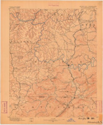
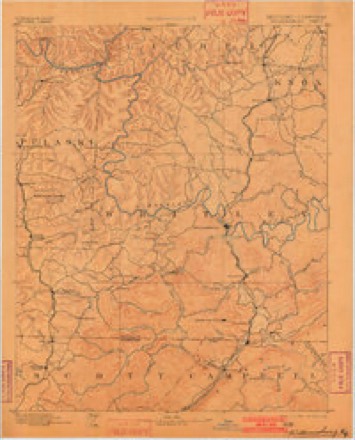
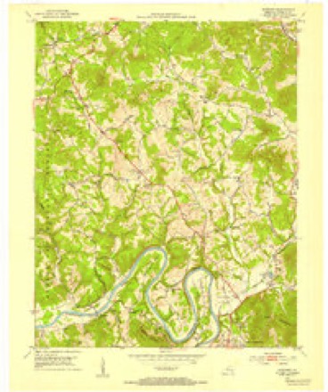
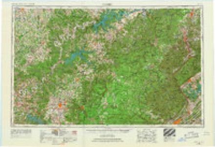
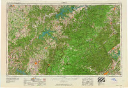
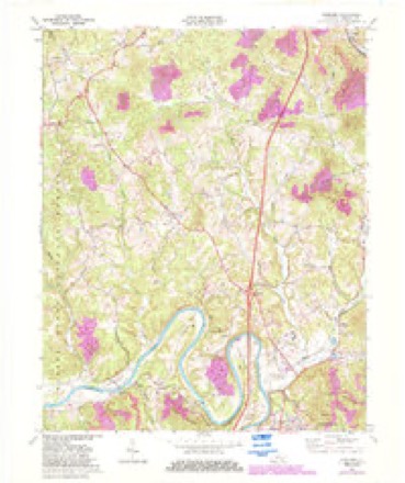
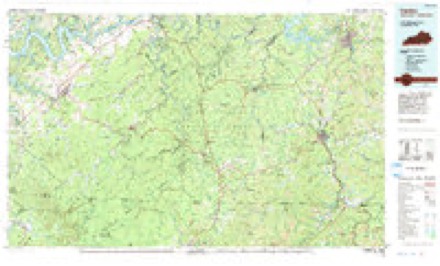
16 topographic sheets cover this place, the earliest surveyed in 1890 and the latest in 1981. It stands in the Cumberland Falls census division. It lies in ZIP code area 40701. It stands on Spice Mortar Branch. The Survey maps it on the Wofford quadrangle.
Topographic sheets covering this place
7 surveys from 16 printed sheetsMatched by testing this settlement's coordinate against the published boundary of every sheet in the United States Geological Survey's historical collection. Each opens the scanned sheet at the Survey.
- 1890 USGS Williamsburg quadrangle1:125000, 2 printings
- 1894 USGS Williamsburg quadrangle1:125000, 5 printings
- 1952 USGS Wofford quadrangle1:24000
- 1956 USGS Corbin quadrangle1:250000, 3 printings
- 1958 USGS Corbin quadrangle1:250000
- 1969 USGS Wofford quadrangle1:24000, 3 printings
- 1981 USGS Corbin quadrangle1:100000
Fires near this place
116 since 1993Regional context, not property-specific evidence. The federal wildfire occurrence database lists 116 fires within 5 miles of Youngs Creek between 1993 and 2020, burning about 2,817 acres in total. 2 started naturally. 54 were recorded as arson. Distance is straight-line from the map coordinates, so a fire counted here may appear on a neighbouring settlement's page as well.
| Reported cause | Fires |
|---|---|
| Arson/incendiarism | 54 |
| Debris and open burning | 36 |
| Missing data/not specified/undetermined | 13 |
| Recreation and ceremony | 9 |
| Natural | 2 |
| Smoking | 1 |
| Power generation/transmission/distribution | 1 |
The most recent of them, most recent first, with the day each was reported and the service that recorded it.
| Date | Cause | Size | Reported by | Name on the report |
|---|---|---|---|---|
| 29 September 2008 | Arson/incendiarism | 9.0 acres | Daniel Boone National Forest | WHIPPOORWILL |
| 24 September 1999 | Debris and open burning | 3.0 acres | Kentucky Division of Forestry | not named |
| 16 September 1999 | Arson/incendiarism | 5.0 acres | Daniel Boone National Forest | DOG SLAUGHTER |
| 14 September 2005 | Arson/incendiarism | 108 acres | Daniel Boone National Forest | WHIPPOORWILL |
| 18 August 2008 | Natural | 160 acres | Daniel Boone National Forest | SPRUCE |
| 18 August 1999 | Arson/incendiarism | under an acre | Daniel Boone National Forest | MOONBOW |
| 13 August 2002 | Debris and open burning | 2.0 acres | Daniel Boone National Forest | BARK CAMP IV |
| 14 July 1997 | Arson/incendiarism | under an acre | Daniel Boone National Forest | LINE DANCE |
Settlements close enough to share some of these fires:
Mines and quarries near this place
1 within 5 milesRegional context, not property-specific evidence. The federal mineral resources record lists 1 working within 5 miles of Youngs Creek: 1 prospect. None of them still produces. What was taken out: Clay. Distance is straight-line from the map coordinates, so a quarry counted here may appear on a neighbouring settlement's page as well.
| Where | Site | Commodity | Status | Recorded |
|---|---|---|---|---|
| Junction Roadcut | Clay | Prospect |
Storms near this place
22 since 2010Regional context, not property-specific evidence. The National Weather Service names Youngs Creek in 22 storm reports between 2010 and 2025: 21 thunderstorm wind, 1 flood. No death or injury is recorded in these reports. Each account below is quoted exactly as the forecast office filed it, from the NOAA Storm Events Database, and each date opens the federal record of that event.
| When | Event | Place named | Harm | What the report says |
|---|---|---|---|---|
| April 2024 | Thunderstorm Wind | Youngs Creek | $200,000 | The NWS Survey team determined that damage incurred near the community of Deering was consistent with straight line winds, with maximum wind gusts estimated to be between 80 and 90 mph. The most significant damage occurred to a barn just off Akins Lane, about 7 miles SW of Corbin - in which the barn was destroyed. There were numerous trees uprooted between Frankfort School Road and Bee Creek Road, and from there to Linda Lane, just off Casey Road. Several homes sustained damage from trees that fell on roofs. Of notable interest were eyewitness reports of a circulation that tracked across a small pond in one of the residential areas. Based on the description of the circulation not being in contact with the cloud base, and the location of this event over a pond approximately 300 years off the flanking (west) side of the core of the most destructive winds, the NWS believes this may have been a book-end vortex. |
| April 2024 | Thunderstorm Wind | Youngs Creek | $100,000 | The survey team surveyed a RV park along Rosetown Church Road near the community of Youngs Creek. The park had multiple trees uprooted, and RVs that were toppled and/or destroyed. |
| April 2024 | Thunderstorm Wind | Youngs Creek | $50,000 | A large tree fell onto a roof of a house located on Akins Lane near the intersection with Bee Creek Road. Several trees of various sizes in adjacent yards were uprooted as well. |
| May 2024 | Thunderstorm Wind | Youngs Creek | $30,000 | A handful of trees were snapped on a property off of Frankfort School Road in the Youngs Creek community. In addition to the snapped trees, two large trees (one softwood, one hardwood) were uprooted and blown onto a mobile home, destroying the home. |
| April 2024 | Thunderstorm Wind | Youngs Creek | $25,000 | A metal garage next to a house off Akins Lane was completely destroyed. The opening to the garage was facing the swath of winds, creating it's weak point. A single floor anchor existed on the concrete pad in the NE corner of the garage building, but it did not appear to have been attached to the structure. Posts and poles of the structure were set in gravel below the pad on sides and corners. The roof was lifted off and all sides collapsed. |
| April 2024 | Thunderstorm Wind | Youngs Creek | $25,000 | Multiple trees were uprooted along a ravine and wooded area on Akins Road. At least two homes in this location received damage from the fallen trees. |
| April 2024 | Thunderstorm Wind | Youngs Creek | $15,000 | Multiple trees were uprooted on a property along Frankfort School Road. One of the trees fell onto the house on the property, causing considerable damage. However, the house was vacant at the time and already in a deteriorating shape. |
| April 2024 | Thunderstorm Wind | Youngs Creek | $3,000 | A house located just WNW of Akins Lane sustained multiple points of damage, mainly on the SW facing side, and the NW facing side. Multiple shutters were pulled off, as was flashing to the front of the home. The porch ceiling fan was also damaged. |
| April 2024 | Thunderstorm Wind | Youngs Creek | $2,000 | A wooden fence along Ottis Ward Road lost planks as the swath of wind moved through. |
| April 2024 | Thunderstorm Wind | Youngs Creek | $1,000 | A section of SW facing wooden fence was damaged by winds just off Akins Road near the Youngs Creek community. |
| May 2025 | Thunderstorm Wind | Youngs Creek | - | Trees were reported to have been blown down on US-25W near the intersection with Lick Fork Road. |
| May 2024 | Thunderstorm Wind | Youngs Creek | - | Multiple trees were uprooted along Forest Service Road 195, and along neighboring forest service roads. Several roads were blocked due to downed trees. |
| April 2024 | Thunderstorm Wind | Youngs Creek | - | Several hardwood trees uprooted and snapped, some rotted, along Frankfort School Road, between Rosetown Church Road and Tom Taylor Road. Damage direction was generally N. |
| April 2024 | Thunderstorm Wind | Youngs Creek | - | A swath of trees along the tree line between Ottis Ward Road and Frankfort School Road were damaged, some snapped and some losing large branches. |
| April 2024 | Thunderstorm Wind | Youngs Creek | - | Several trees snapped, including a pine tree, and many hardwoods uprooted and laying northward. |
| April 2024 | Thunderstorm Wind | Youngs Creek | - | A large tree was uprooted and laying to the NNW on a property located north of Ottis Ward Road. |
| April 2024 | Thunderstorm Wind | Youngs Creek | - | Multiple trees had been uprooted and snapped along the shoulder of Bee Creek Road, near the intersection of Akins Road. All trees were pushes to the NE, some blocking the road. |
| August 2024 | Thunderstorm Wind | Youngs Creek | - | Whitley county dispatch reported a tree blown down onto Raymond Ridge Road, near the community of Bee Creek and Youngs Creek. |
| June 2023 | Thunderstorm Wind | Youngs Creek | - | The public reported tree blown down on Cumberland Falls Highway near the intersection with KY-90. |
| March 2016 | Thunderstorm Wind | Youngs Creek | - | Local dispatch relayed a report of a large tree down near the intersection of Highways 25 and 90 southwest of Corbin. |
| June 2016 | Thunderstorm Wind | Youngs Creek | - | A citizen reported a downed tree northwest of Williamsburg along Cumberland Falls Highway (US Highway 25W). |
| January 2010 | Flood | Youngs Creek | - | Numerous roads were covered with water county wide at depths of between 4 inches and 1 foot. |
Nearest settlements
The eight closest, with where each one stands in the county. Distances are straight-line, computed from the Geographic Names Information System coordinates.
| Map | Place | Distance | Sheets |
|---|---|---|---|
| Clio | 4.0 miles | 16 | |
| Walden | 4.1 miles | 16 | |
| Grove | 4.7 miles | 16 | |
| Chestnut Grove (historical) | 5.2 miles | 16 | |
| Woodland Estates | 5.5 miles | 16 | |
| Faber | 5.9 miles | 16 | |
| Goldbug | 6.3 miles | 16 | |
| Rockholds | 7.1 miles | 16 |
Provenance
This settlement is recorded in the Geographic Names Information System as feature 516518. The sheet list is computed by point-in-boundary test against the United States Geological Survey's historical topographic inventory. Both are works of the United States government and carry no copyright under 17 U.S.C. 105.
Wildfire. Short, Karen C. 2022. Spatial wildfire occurrence data for the United States, 1992-2020 [FPA_FOD_20221014]. 6th Edition. Fort Collins, CO: Forest Service Research Data Archive. https://doi.org/10.2737/RDS-2013-0009.6 Collected with United States Government funding and usable without additional permissions or fees.
Mines and quarries. USGS Mineral Resources Data System (MRDS) https://mrdata.usgs.gov/mrds/ A work of the United States government, no copyright under 17 U.S.C. 105.
Storms. NOAA National Centers for Environmental Information, Storm Events Database https://www.ncei.noaa.gov/stormevents/ A work of the United States government, no copyright under 17 U.S.C. 105. Narratives are quoted verbatim from the National Weather Service report and are not edited or summarised.