 Block
From the record
One of 5 National Register listings published here for Ballard County · listed in 1978 · category: Building.
Sources: the case file at the National Archives · the National Register database, National Park Service
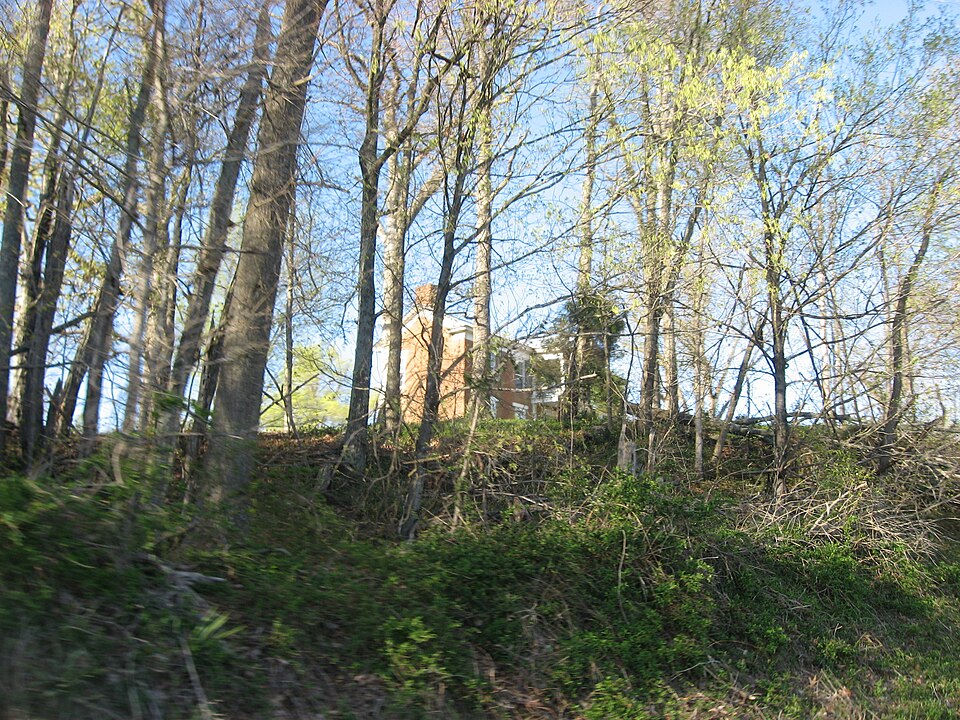
Listed on the National Register of Historic Places in 1978.
One of 5 National Register listings published here for Ballard County · listed in 1978 · category: Building.
Sources: the case file at the National Archives · the National Register database, National Park Service
Regional context, not property-specific evidence. The federal wildfire occurrence database lists 10 fires within 5 miles of Andrew Lovelace Jr. House between 1998 and 2012, burning about 118 acres in total. None started naturally. 1 was recorded as arson. Distance is straight-line from the map coordinates, so a fire counted here may appear on a neighbouring settlement's page as well.
| Reported cause | Fires |
|---|---|
| Missing data/not specified/undetermined | 4 |
| Railroad operations and maintenance | 2 |
| Recreation and ceremony | 2 |
| Debris and open burning | 1 |
| Arson/incendiarism | 1 |
The most recent of them, most recent first, with the day each was reported and the service that recorded it.
| Date | Cause | Size | Reported by | Name on the report |
|---|---|---|---|---|
| 29 September 2008 | Recreation and ceremony | 40 acres | Kentucky Division of Forestry | not named |
| 23 September 2007 | Missing data/not specified/undetermined | 1.0 acres | Kentucky Division of Forestry | not named |
| 15 September 1999 | Missing data/not specified/undetermined | 2.0 acres | Kentucky Division of Forestry | not named |
| 27 August 2010 | Railroad operations and maintenance | 2.0 acres | Kentucky Division of Forestry | ROSS CROSSING |
| 22 August 2012 | Recreation and ceremony | under an acre | Kentucky Division of Forestry | MT. ZION C |
| 7 March 2007 | Railroad operations and maintenance | 50 acres | Kentucky Division of Forestry | not named |
| 20 March 2009 | Missing data/not specified/undetermined | 12 acres | Kentucky Division of Forestry | not named |
| 17 November 1998 | Arson/incendiarism | 8.0 acres | Kentucky Division of Forestry | not named |
Regional context, not property-specific evidence. The National Weather Service names Lovelaceville, the town this property stands in, in 10 storm reports between 1997 and 2023: 5 thunderstorm wind, 3 flash flood, 1 heavy rain, 1 tornado. No death or injury is recorded in these reports. Each account below is quoted exactly as the forecast office filed it, from the NOAA Storm Events Database, and each date opens the federal record of that event.
| When | Event | Place named | Harm | What the report says |
|---|---|---|---|---|
| June 2013 | Flash Flood | Lovelaceville | $100,000 | In La Center, flash flooding damaged three businesses along U.S. Highway 60. A storage building, propane company, and insurance company were flooded to a depth of approximately 5 to 8 inches. Water in parts of a parking lot was over four feet deep. Water at one point flooded over the top of a 500-gallon tank. Several vehicles were stranded in at least two feet of floodwater across U.S. Highway 62 near Lovelaceville. Highway 2532 near Kevil was closed due to at least one-half foot of flowing water across it. |
| May 2011 | Thunderstorm Wind | Lovelaceville | $20,000 | The entire roof was ripped off an old vacant school building. A utility pole was broken. |
| March 2017 | Thunderstorm Wind | Lovelaceville | $15,000 | Trees were down in Lovelaceville and along U.S. Highway 62 near the Mayfield Creek bridge. A vehicle was damaged. |
| May 2013 | Thunderstorm Wind | Lovelaceville | $10,000 | Two large trees were blown down near U.S. Highway 62. Utility companies cleared the debris, which affected power lines. |
| June 2019 | Tornado (EF1) | Lovelaceville | $5,000 | The tornado touched down near Lovelaceville in Ballard County, but the vast majority of the track was in McCracken County. This tornado uprooted and snapped several trees before it crossed into McCracken County. The tornado crossed U.S. Highway 62 near the south edge of Lovelaceville. Peak winds in Ballard County were estimated near 100 mph. This was the third and longest of three tornadoes that occurred along a path from western Carlisle County to McCracken County. |
| June 2000 | Thunderstorm Wind | Lovelaceville | $5,000 | Many large branches were blown down along a half-mile stretch U.S. Highway 62. A combination of power lines and tree limbs across the road kept traffic restricted to one lane for a couple hours. |
| March 2023 | Flash Flood | Lovelaceville | - | U.S. Highway 62 was closed at the Carlisle County line, where Mayfield Creek flows under the roadway. |
| October 2013 | Heavy Rain | Lovelaceville | - | A trained spotter reported two inches of water over U.S. Highway 62. |
| March 2002 | Flash Flood | Lovelaceville | - | no account filed |
| April 1997 | Thunderstorm Wind | Lovelaceville | - | no account filed |
No historic map-sheet match is published for this property yet. That does not mean no map exists. This record needs a coordinate-quality review before it can be joined to a sheet boundary. Browse the county's mapped places while that work is pending.
Other National Register properties close enough to walk or drive between, ordered by distance from this one. Both positions come from the same geocoding pass that matched these properties to their map sheets.
| Photograph | Property | Distance | Listed |
|---|---|---|---|
| Dr. David Polk Juett Farmstead | 6.6 miles | 1998 |
| National Archives record | The nomination case file for reference 78001296 in Record Group 79. |
| Ballard County | All 5 listed properties in this county. |