 Block
From the record
5 National Register listings published here.
Sources: the National Register database, National Park Service
64 topographic sheets and 6 fire insurance atlases across 1 place.
5 National Register listings published here.
Sources: the National Register database, National Park Service
Every property in this county listed on the National Register of Historic Places, with the year it was listed and the federal nomination document.
| Photograph | Property | Type | Listed | Reference |
|---|---|---|---|---|
| Ballard County Courthouse | building | 1980 | 80001480 | |
 | Barlow House | building | 1991 | 91001663 |
| Dr. David Polk Juett Farmstead | district | 1998 | 98000936 | |
 | Andrew Lovelace Jr. House | building | 1978 | 78001296 |
| Trimble House | building | 2007 | 06001203 |
Sampled issues, machine-read from the Library of Congress scan and published page by page, so every headline and column is searchable text.
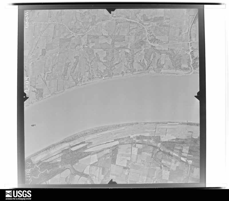
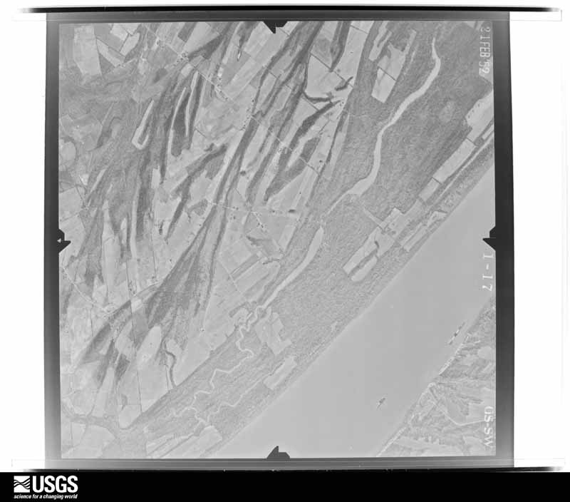
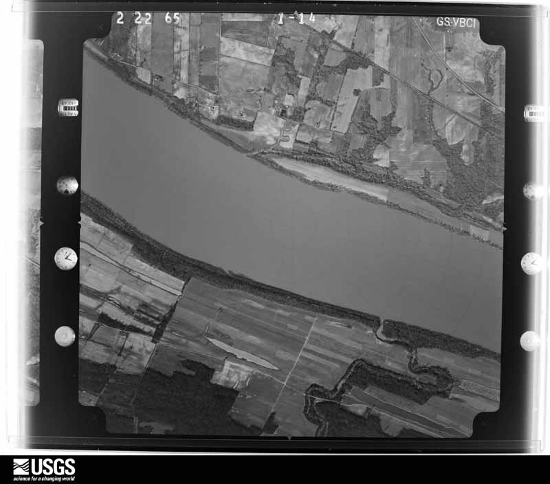
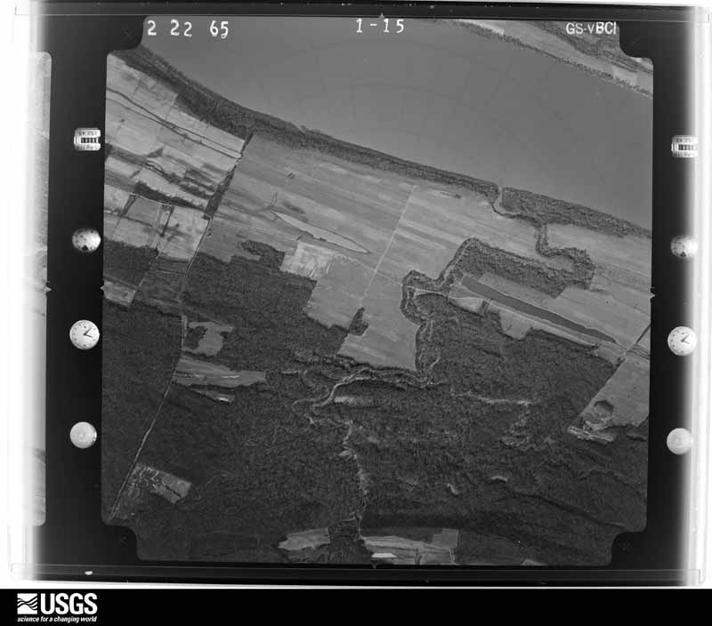
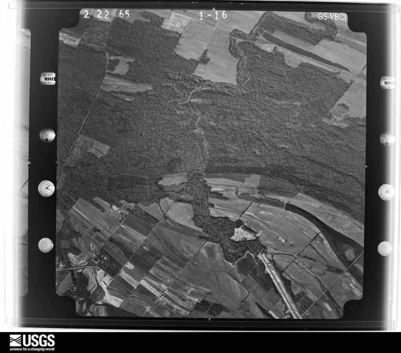
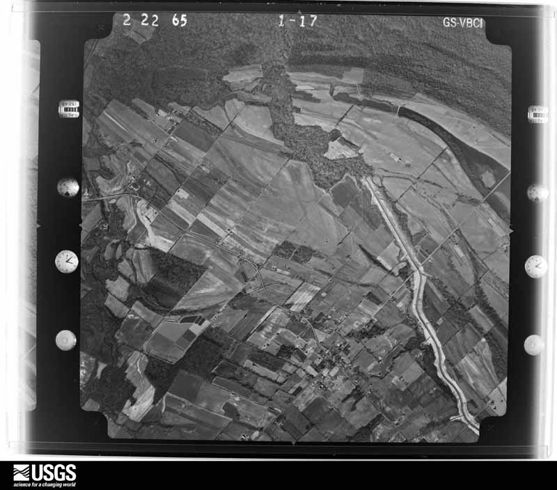
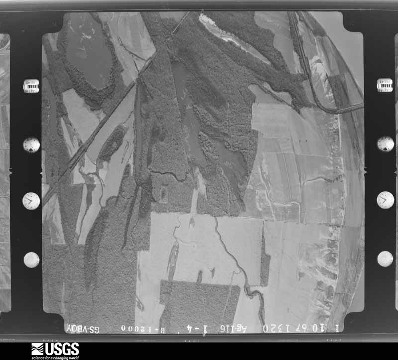
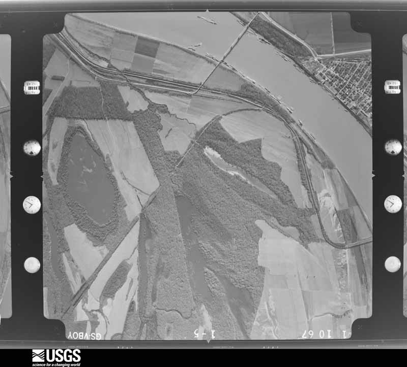
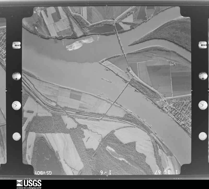
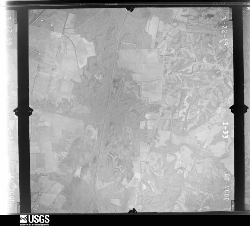
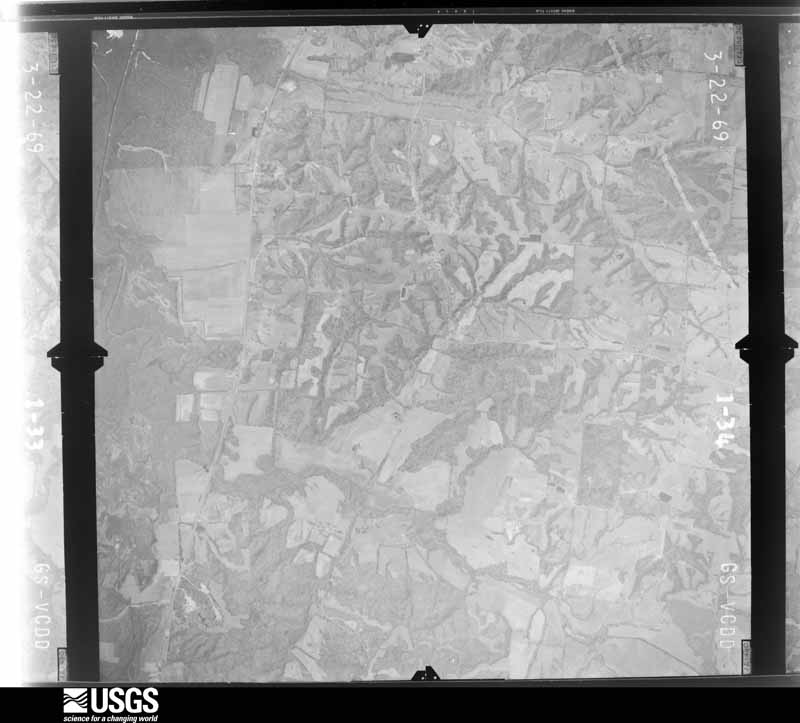
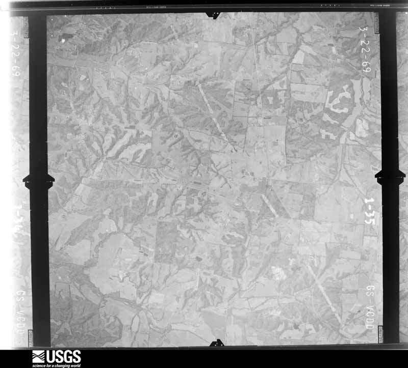
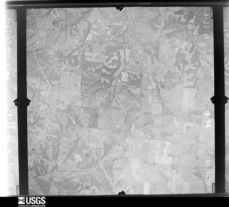
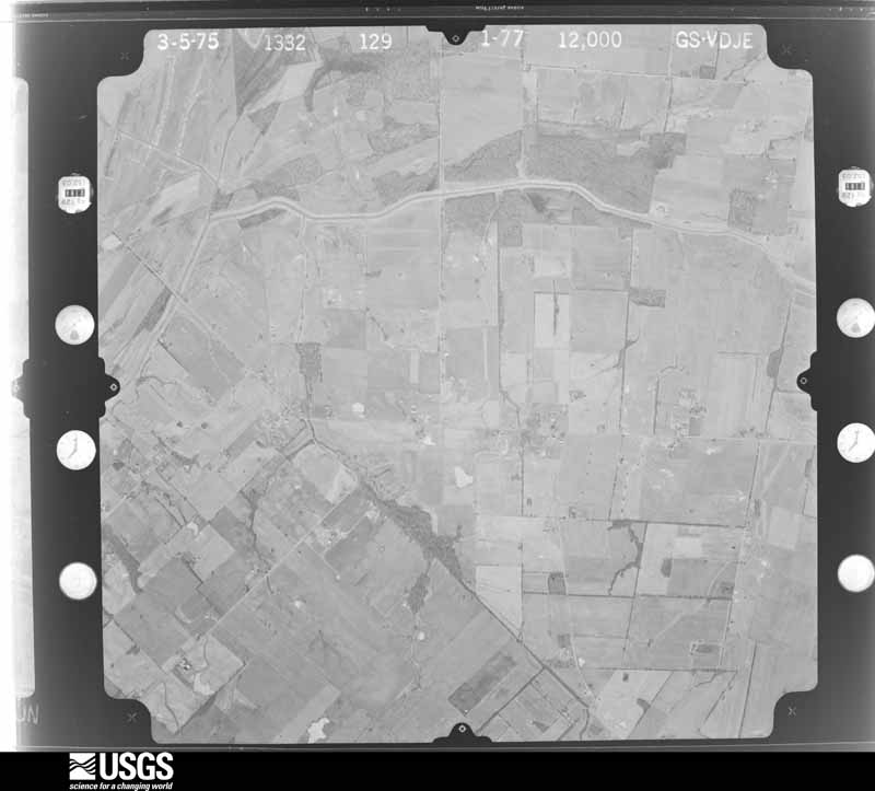
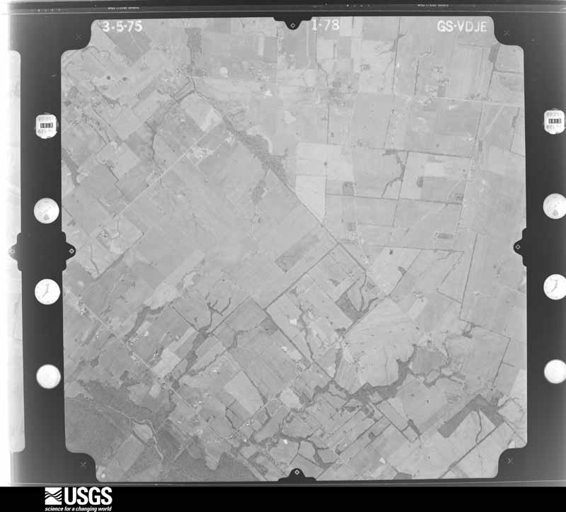
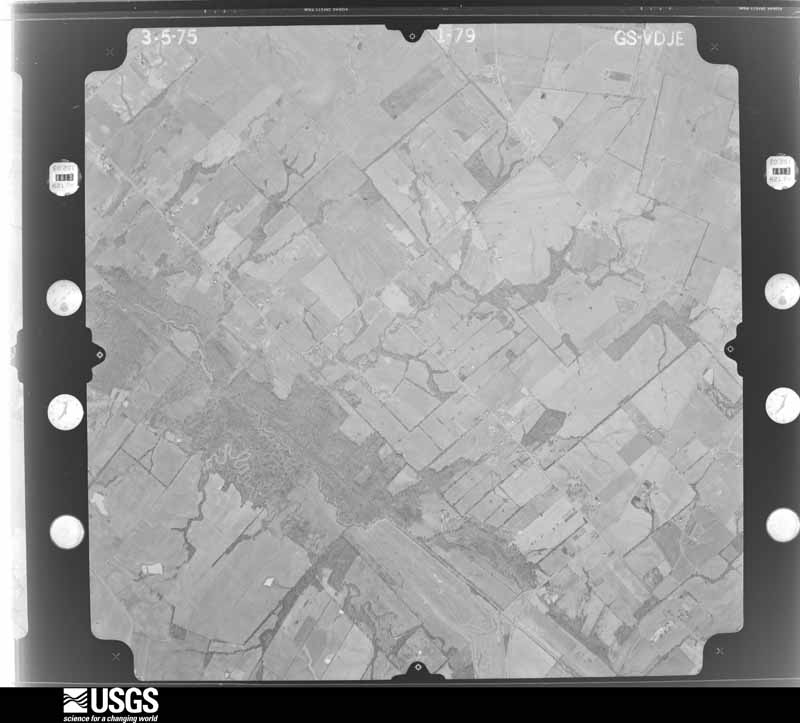
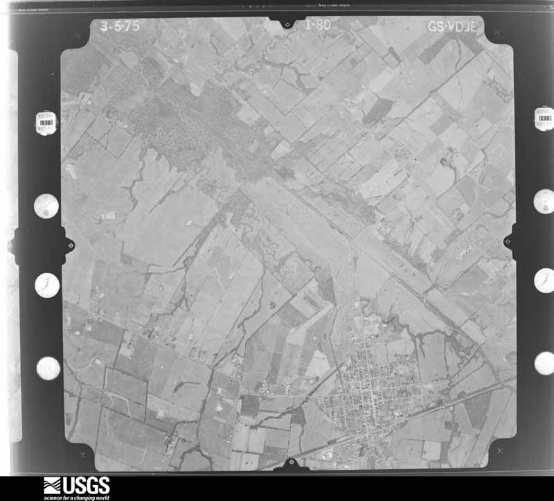
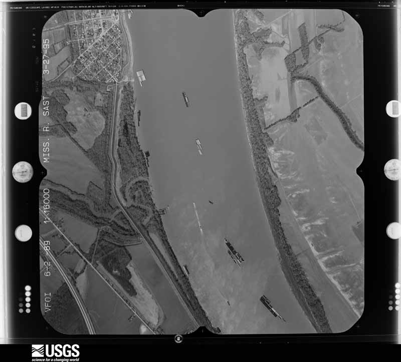
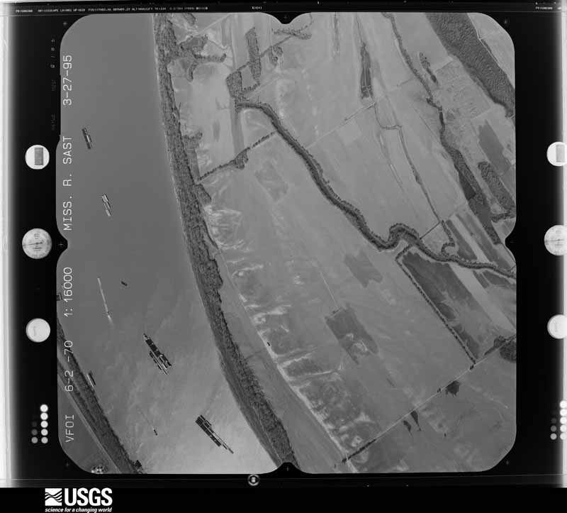
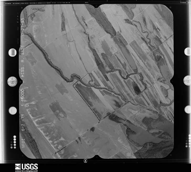
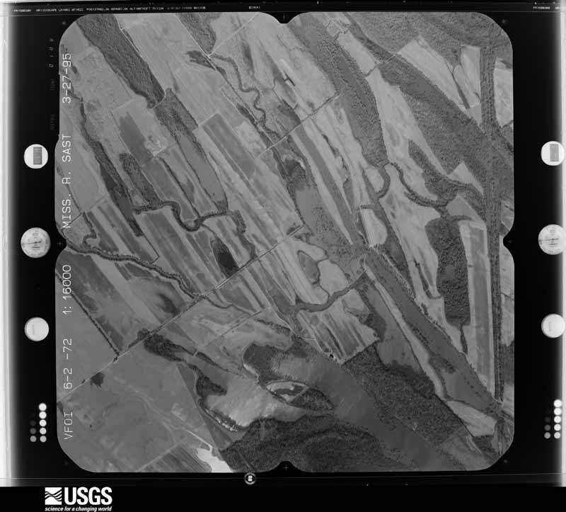
Flown by the U.S. Geological Survey between 1937 and 1989, the Aerial Photo Single Frames collection is the definitive mid-century view of the land: fields, roads and rivers as the camera saw them. The Survey holds 797 frames inside the rectangle that bounds this county; the 34 frames below were taken over the county itself, chosen across the decades of flights (at most four a year from that rectangle), so one flight cannot crowd out the rest. The full set is free to browse and download at EarthExplorer under the dataset Aerial Photo Single Frames.
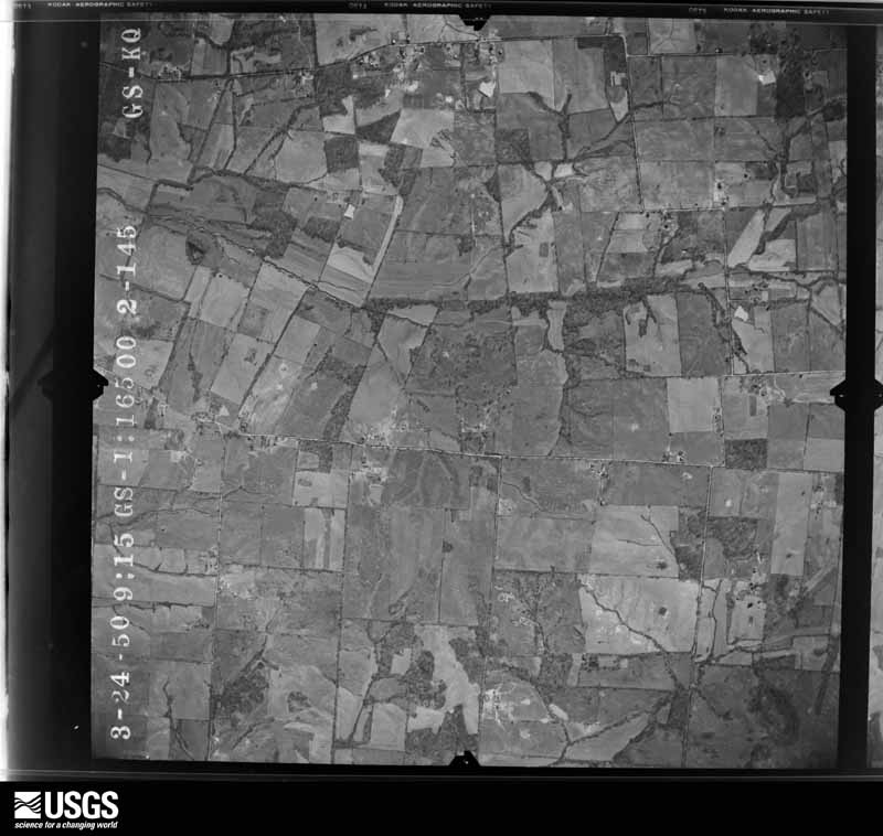
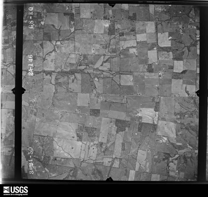
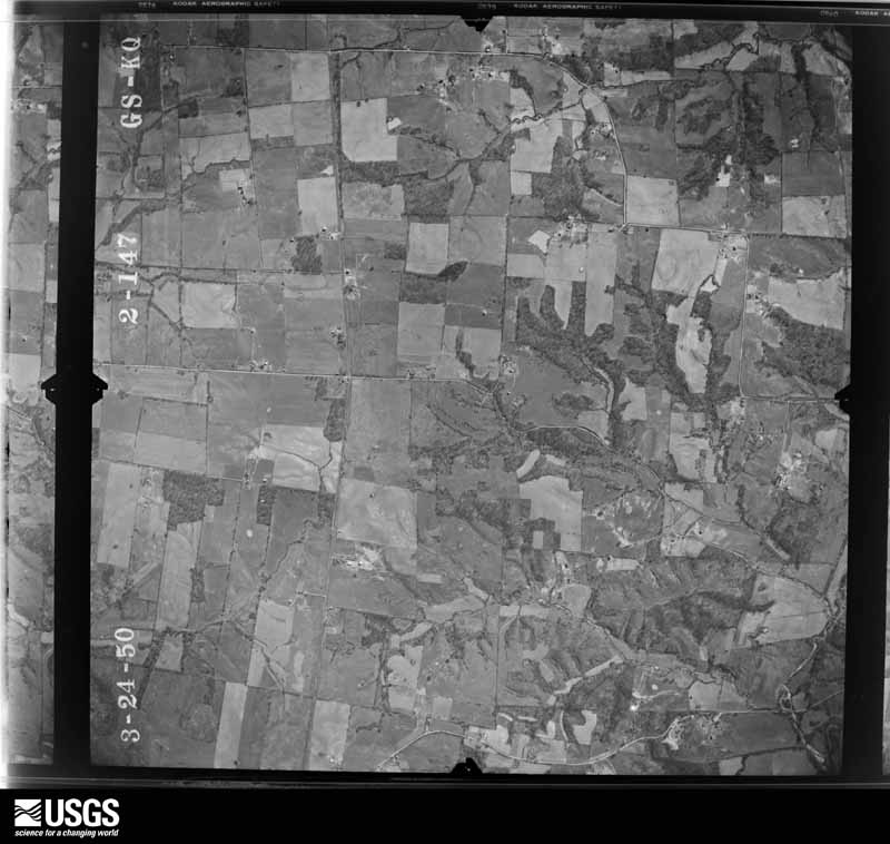
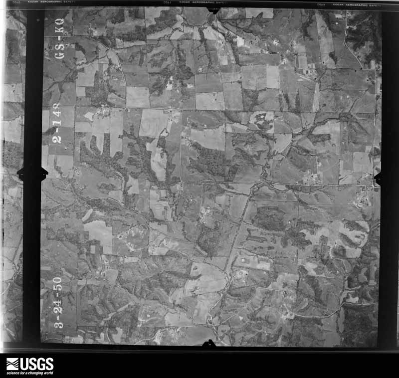









The thermometers that kept this county's weather, and the gages that measured the flow of its streams, as the federal records hold them. The extremes below are measured values from those records, not estimates.
Who lived here in 1950, one enumeration district at a time, as the Census Bureau described each district. Each row opens its official National Archives result, with Population Schedules and ED Maps available there.
Every wildfire the federal occurrence database records inside this county: 34 of them, burning about 247 acres. None started naturally and 1 was recorded as arson. Each settlement page carries the fires within five miles of it.
| Reported cause | Fires |
|---|---|
| Missing data/not specified/undetermined | 19 |
| Recreation and ceremony | 5 |
| Railroad operations and maintenance | 3 |
| Debris and open burning | 3 |
| Arson/incendiarism | 1 |
| Misuse of fire by a minor | 1 |
| Smoking | 1 |
| Equipment and vehicle use | 1 |
The five largest, by the area the report gives. One of them was set deliberately.
| Date | Cause | Size | Reported by | Name on the report |
|---|---|---|---|---|
| 12 March 2005 | Missing data/not specified/undetermined | 65 acres | Kentucky Division of Forestry | not named |
| 29 September 2008 | Recreation and ceremony | 40 acres | Kentucky Division of Forestry | not named |
| 30 August 2007 | Railroad operations and maintenance | 35 acres | Kentucky Division of Forestry | not named |
| 29 November 2008 | Equipment and vehicle use | 20 acres | Kentucky Division of Forestry | not named |
| 26 November 2005 | Missing data/not specified/undetermined | 12 acres | Kentucky Division of Forestry | not named |
| 20 March 2009 | Missing data/not specified/undetermined | 12 acres | Kentucky Division of Forestry | not named |
| 30 October 2004 | Missing data/not specified/undetermined | 11 acres | Kentucky Division of Forestry | not named |
| 17 November 1998 | Arson/incendiarism | 8.0 acres | Kentucky Division of Forestry | not named |
Every settlement page carries the fires within five miles of it - see the settlement index below.
The NOAA Storm Events Database holds 311 reports for this county, causing 1 death, 17 injuries and about $7,896,000 in recorded property damage. Each settlement page carries the reports that name it.
| Kind of event | Reports |
|---|---|
| Thunderstorm Wind | 136 |
| Hail | 57 |
| Flood | 50 |
| Flash Flood | 33 |
| Tornado | 21 |
| Heavy Rain | 10 |
| Funnel Cloud | 3 |
| Lightning | 1 |
The most serious of them, by death, then injury, then recorded damage. The accounts are quoted exactly as the forecast office filed them.
| When | Event | Place named | Harm | What the report says |
|---|---|---|---|---|
| December 2013 | Flash Flood | Oscar | 1 killed, $10,000 | Major flash flooding prompted a declaration of a state of emergency for Ballard County. Numerous roads were flooded across the county, including at least 16 that were impassable. A 54-year-old man was killed near Barlow when he was swept away by floodwaters after trying to get out of his car. His body was washed one-quarter to one-half mile off the small county road into a wooded area. An elderly woman was rescued from a stranded vehicle near a bridge on State Highway 725 near Kevil. Flooding of Clayton Creek impacted a road near Bandana such that only the top of the bridge was visible. An emergency management official in La Center measured 9.12 inches of rain, most of which fell in 15 hours. |
| January 1999 | Tornado (F1) | Wickliffe | 6 hurt, $200,000 | This tornado was rated on the high end of the F-1 category, with top winds near 105 MPH. A mobile home containing a family of six was demolished. All six occupants escaped with only minor to moderate injuries. One small child was not discovered in the debris for over 30 minutes. Rescue workers had difficulty reaching the home due to fallen trees and barns blown onto roadways. |
| January 1999 | Thunderstorm Wind | La Center | 3 hurt, $200,000 | An intense thunderstorm microburst overturned and destroyed a mobile home. Three occupants were injured. Workers had trouble reaching the residence due to downed trees. The mobile home flipped over several times before coming to a stop on top of a van and truck. One of the injured persons required surgery for a severe cut on the arm. Nearby, a machine shop was destroyed, and a barn with over 20,000 bushels of grain was blown away. |
| June 1958 | Tornado (F3) | not stated | 3 hurt, $25,000 | no account filed |
| October 2001 | Thunderstorm Wind | Kevil | 2 hurt, $25,000 | At a trailer park near Kevil, a mobile home was overturned, and another was turned on its side. Several other mobile homes received minor damage, such as underpinning blown away or small trees landing on roofs. Two persons in the overturned mobile home were injured. Both injured persons were treated and released by a local hospital. A National Weather Service on-site survey determined the damage was caused by straight-line winds of 80 to 90 MPH. Elsewhere in the county, a few trees were down and metal roofing was blown off barns. |
| April 2011 | Tornado (EF2) | Slater | 1 hurt, $700,000 | Near Hinkleville, a man was trapped in a 60 by 80 foot farm building that was destroyed. He received four broken ribs. The roof was removed from a two-story house, and the garage was levelled. Several other homes sustained roof damage, including one with partial roof loss. Two mobile homes were overturned. Two large chicken barns about 45 feet wide by 250 yards long were destroyed, and two others were heavily damaged. Numerous farm buildings were destroyed, along with some grain bins. Dozens of large trees were snapped or uprooted. A mobile home was shifted slightly off its foundation at the end of the track along the McCracken County line. While damage was predominantly caused by the tornado, some damage southeast of Hinkleville was caused by straight-line winds. Peak winds were near 120 mph. Average path width was 250 yards. |
| July 1987 | Thunderstorm Wind | not stated | 1 hurt | no account filed |
| July 1987 | Thunderstorm Wind | not stated | 1 hurt | no account filed |
| May 2011 | Flood | Wickliffe | $1,000,000 | Record flooding occurred along the Mississippi River near and below the confluence of the Ohio River. The river gages at both Cairo, Illinois and New Madrid, Missouri measured record high levels exceeding the 1937 record flood. The activation of the New Madrid Floodway by the U.S. Army Corps of Engineers on the evening of May 2 spared Ballard County from an even higher crest. With the detonation of the Mississippi River levee at Birds Point, Missouri, the Mississippi River dropped suddenly. Historic flooding of the Mississippi River inundated low-lying sections of Wickliffe. A few evacuations were required, and homes were sandbagged. All main arteries into and out of Wickliffe were closed except U.S. Highway 60. A section of U.S. Highway 51 was closed south of Wickliffe near a large paper mill. The paper mill was shut down for weeks. The bridge over the Ohio River on U.S. Highway 51/60/62 was closed when sections of the road leading to the bridge were covered by several feet of water. |
| January 2000 | Flash Flood | Countywide | $800,000 | no account filed |
| July 2023 | Flash Flood | Kevil | $700,000 | no account filed |
| May 2011 | Flood | Oscar | $500,000 | Major flooding continued on the Ohio River from April. At the Grand Chain, Illinois river gage, the flood crest of 62.20 feet on the evening of May 2 came within two feet of the record of 64.00 feet set in 1937. The activation of the New Madrid Floodway by the U.S. Army Corps of Engineers spared Ballard County from an even higher crest. With the detonation of the Mississippi River levee at Birds Point, Missouri, the Ohio River dropped suddenly at Grand Chain. Grand Chain is located across from Ballard County. Some homes were evacuated, primarily in areas around Oscar. The total number of flooded homes was likely between 20 and 30. |
| May 2025 | Hail | Gum Corners | $300,000 | Many reports and pictures of large hail came in from the town of Barlow and just south of it including the largest hailstones estimated at grapefruit size on Circle Drive east of Barlow (4.5'', public report) and just above softball size south of town on Hartman Ln (4.25'', public report). Numerous photos and reports from emergency management and the public of additional hailstones ranged from ping pong ball to baseball size. Many windows were broken as a result of these very large hailstones along with damage to gutters, roof, vehicles, and siding. |
| March 2017 | Thunderstorm Wind | Wickliffe | $225,000 | Widespread damaging winds occurred in much of Ballard County. Wind damage occurred in La Center, where the Ballard County High School and a law office sustained roof damage. The roof of the law office was partially blown off. Elsewhere, widespread damage to trees and power lines was reported across the county. Several homes sustained damage, mainly to roofs. South of La Center, a pole barn about 1,100 square feet was destroyed. Most walls and the roof collapsed, damaging numerous possessions in the barn. |
| July 2019 | Flood | East Cairo | $200,000 | The Ohio River finally fell below flood stage after spending five months above flood stage, which is the longest duration on record at the Cairo, Illinois river gage. Much of this time, the river was above flood stage due to backwater from the swollen Mississippi River. When it came to the impacts of the flooding, the extended duration of the flooding was at least as significant as its severity. The levee system along the Ohio River was saturated by the extended presence of floodwaters, raising concerns about the stability and integrity of some levees. Repairs were made to the U.S. Highway 51 levee, which carries the road from Wickliffe to the Cairo bridge. In certain locations where slippage was observed, the levee was stabilized with truckloads of rock. Although crops were never planted in many parts of the flood plain, the agricultural impacts were still significant. Large portions of a wildlife management area were flooded. At the Cairo, Illinois river gage, the river crested in late June and fell below flood stage in mid July. |
| March 2019 | Tornado (EF2) | Gage | $150,000 | This multi-county tornado crossed extreme southeast Ballard County on its way from Carlisle County to McCracken County. The tornado track passed just northwest and north of the community of Lovelaceville. The two primary structural damage areas were the crossing points along Highway 1837 west of Lovelaceville and Hamburg Road north of Lovelaceville. West of Lovelaceville on Highway 1837, there was major roof damage to a few structures, including a mobile home and a farm outbuilding. A well-defined path of broken and uprooted trees was also evident. As the tornado reached Hamburg Road, the first evidence of EF-2 damage became visible. A large portion of the exterior wall of a house collapsed, and there was significant roof damage to the house. A nearby farm outbuilding was demolished. A swath of snapped and uprooted trees crossed the area. Building debris was deposited well downwind of the damaged or destroyed structures. Four cows were killed. The tornado path widened quickly, reaching 300 yards shortly after exiting Carlisle County. Peak winds in Ballard County were estimated near 115 mph. The tornado then crossed into McCracken County, where the majority of the damage path was located. |
| February 2019 | Flood | Holloway | $150,000 | Major flooding on the Ohio River closed numerous county roads and a few state roads. U.S. Highway 60/62 was closed from Wickliffe to the Ohio River bridge to Cairo, Illinois. This road serves as a primary link between Kentucky and Illinois. A detour of about 80 miles was required for commuters in the area. Many hunting cabins in the river bottoms were flooded, but only a small number of houses (fewer than 20) were affected. The Ballard Wildlife Management Area was closed. The Ohio River crested at 53.27 feet at Paducah on the 25th. This was the highest crest since the historic 2011 flood, and tied for the second highest crest since the Flood of 1937 at Paducah. |
| March 2017 | Thunderstorm Wind | Wickliffe | $100,000 | A microburst containing winds estimated near 85 mph struck portions of Wickliffe. At a boat facility along the Mississippi River, a portion of a warehouse roof collapsed. Another portion of the metal roof was blown away. Trees were uprooted and power lines were down, and other debris was scattered throughout the city. Other than some minor shingle damage, most of the damage in the city of Wickliffe was near the riverfront. There was other damage off Highway 286 on the outskirts of Wickliffe, including a barn roof that was blown off, shingle damage at a house, and soffit damage at a grocery store. On Highway 121 at the edge of town, a tree fell on a house, causing minor damage to the house. |
| January 2016 | Flood | Oscar | $100,000 | Major flooding of the Ohio River continued into January. At the Cairo, Illinois river gage, the river crested at 56.14 feet on the 4th. Flood stage there is 40 feet. This flood crest at Cairo was close to the crest of 56.20 feet in the March, 1997 flood. A state of emergency was declared by the county government. The Ohio River bridge connecting Cairo, Illinois with Ballard County remained closed for a week as floodwaters covered the bridge approach on the Kentucky side. A small number of homes were evacuated in Ballard County, numbering about a dozen. Sandbagging operations were conducted around vulnerable structures. U.S. Highway 51 was flooded and closed near the Carlisle County line. There was considerable flooding of low-lying fields and woodlands. Parts of a wildlife management area and some river access roads were underwater. |
| June 2013 | Flash Flood | Lovelaceville | $100,000 | In La Center, flash flooding damaged three businesses along U.S. Highway 60. A storage building, propane company, and insurance company were flooded to a depth of approximately 5 to 8 inches. Water in parts of a parking lot was over four feet deep. Water at one point flooded over the top of a 500-gallon tank. Several vehicles were stranded in at least two feet of floodwater across U.S. Highway 62 near Lovelaceville. Highway 2532 near Kevil was closed due to at least one-half foot of flowing water across it. |
| February 2012 | Tornado (EF2) | Oscar | $100,000 | The tornado crossed the Ohio River from Pulaski County, IL into the Ballard State Waterfowl Management Area along the river in Ballard County. Near Oscar, a few barns and a machine shed were blown down. A porch was blown off a home. The tornado carved a damage path near Bandana and Oscar. One mobile home and one farm was destroyed near Bandana. Hundreds of trees were uprooted or snapped. Some homes sustained minor to moderate roof damage. Other homes received siding and gutter damage. Several power poles were snapped. Several chicken houses were damaged or destroyed. Peak winds were estimated near 120 mph. The average path width was 125 yards. The tornado continued into McCracken County. |
| April 2011 | Tornado (EF1) | Barlow | $100,000 | Part of a metal wall was damaged at a maintenance building. The roof was blown off a storage building at the city hall. Three power poles were snapped, which cut power to the city water plant. There was roof damage to a barn. A large tree fell on a home and two mobile homes. A carport landed up in a tree. There was minor roof damage on two homes and a carport. Several large trees were uprooted and snapped. Peak winds were estimated near 100 mph. The average path width was 65 yards. |
| January 1999 | Thunderstorm Wind | Gage | $100,000 | On a local farm, a horse barn, tobacco barn, corn crib, and a semi were destroyed. |
| April 1995 | Thunderstorm Wind | Countywide | $100,000 | A severe thunderstorm crossed the Mississippi River from Missouri and carved a damage path from Wickliffe to Ceredo to Kevil. One mobile home was destroyed, three mobile homes were damaged, and a business was damaged. A tree fell on a home, and another tree fell on a car. Several buildings sustained minor roof or siding damage. |
| May 2002 | Hail | Wickliffe | $100,000 | no account filed |
| May 2023 | Thunderstorm Wind | Wickliffe | $75,000 | Widespread wind damage was reported, especially across the western and southern parts of the county. In Barlow, the roof was blown off a building, and a side of the building was damaged. Trees and power lines were blown down at Barlow, Wickliffe, and many other places. |
| July 2016 | Tornado (EF1) | Ogden | $75,000 | The tornado touched down on Highway 473 just north of Bandana, where there was significant damage to a home, barn, and grain bin. Debris from the home was thrown at least a half mile. The rest of the damage consisted mainly of snapped and uprooted trees, including some large mature trees. A few homes sustained minor roof and siding damage along the path. Peak winds were estimated near 105 mph. The tornado crossed into McCracken County where Highway 358 crosses the county line. |
| June 1995 | Thunderstorm Wind | Countywide | $75,000 | Widespread damaging winds estimated up to 75 mph downed numerous trees, some of which fell across roads and power lines. A mobile home was destroyed by wind in the community of Oscar. |
| May 2024 | Thunderstorm Wind | Wickliffe | $65,000 | The storm survey found that, 4 miles northeast of Wickliffe, a camper trailer was turned over, and a car port flipped and blown over. Metal roof paneling on an outbuilding blew over as well. On Crews Rd, a barn lost much of its roof. Emergency management reported that tree damage occurred as the line of storms moved through Ballard County. Roughly a third of the county remained without power late morning. |
| November 2013 | Thunderstorm Wind | Oscar | $60,000 | Several barns and several trees were blown down in eastern Ballard County. The damage extended from Highway 310 between La Center and Oscar to Kevil. |
| February 2025 | Flash Flood | Gage | $50,000 | Flash flooding washed out portions of several county roads. |
| January 2023 | Tornado (EF1) | Monkeys Eyebrow | $50,000 | The tornado began several miles northwest of Kevil and tracked northeast across mostly dormant farmland. A farmhouse received moderate damage, mostly to the roof and siding. Many trees were snapped and/or uprooted. Multiple metal roof panels were blown off two large barns. The top half of a clay tile silo was destroyed. Peak winds were estimated near 90 mph along this segment of track. The tornado crossed into the extreme northwest corner of McCracken County near the Ohio River. |
| March 2018 | Flood | Holloway | $50,000 | Moderate flooding continued on the Ohio River from late February. A small number of homes were evacuated. Numerous roads were flooded and closed. The U.S. Highway 51/60/62 bridge connecting Wickliffe, KY and Cairo, IL was closed for about a week. This required motorists to use an eighty-mile long detour using the Interstate 24 bridge at Paducah. |
| July 2016 | Thunderstorm Wind | Wickliffe | $50,000 | Numerous trees were blown down across parts of the county, including the city of La Center. Power lines were blown down in Wickliffe and La Center. Roads were blocked in a number of locations around the county. A mobile home was overturned in Barlow. |
| January 2008 | Thunderstorm Wind | Oscar | $50,000 | Large limbs and trees were down throughout the county. About three miles south of LaCenter, part of a roof was blown off a house. A barn was blown onto a roadway about three miles south of Kevil. Most of the tree and power line damage was reported from 3 miles northwest of LaCenter to 8 miles southwest of LaCenter. |
| March 2011 | Flood | Oscar | $50,000 | no account filed |
| May 1996 | Thunderstorm Wind | Wickliffe | $50,000 | no account filed |
| June 2018 | Thunderstorm Wind | La Center | $40,000 | Widespread damaging winds occurred across much of Ballard County. Numerous large trees were blown down, resulting in widespread power outages. A tree landed on a car. Another tree landed on a house. |
| August 2016 | Flash Flood | La Center | $40,000 | Numerous roads were covered with up to a foot of water. Multiple vehicles were stranded in the rising water, mostly north of Kevil through the Bandana area. There was a report of over six inches of rain near Bandana during the morning storm. The rain gage overflowed, so the exact amount was undetermined. |
| April 2011 | Tornado (EF1) | Slater | $40,000 | Two barns were levelled on Highway 1345. Numerous trees were snapped or uprooted. Peak winds were estimated near 90 mph. Average path width was about 175 yards. |
| September 2006 | Tornado (F1) | Oscar | $40,000 | Damage indications as well as eyewitness accounts indicated multiple touchdowns of the funnel. The damage path was not continuous. One house received roof damage, and a tree limb fell on the porch. Two empty grain bins were blown away. One empty bin was blown a quarter mile. An auger was damaged. A nearly full propane tank was rolled off its blocks. A damage path was visible through a soybean field. Two large pecan trees were snapped at ground level. Sporadic tree damage was seen further down the path of the tornado. Peak winds were estimated near 85 MPH. |
| September 2006 | Thunderstorm Wind | Barlow | $40,000 | Security lights were ripped off poles. Trailers were overturned. Numerous trees and power lines were blown down. A few houses were struck by falling trees. Many roads were blocked by debris. The damage was mostly from Barlow to the south side of LaCenter, including the Hinkleville area. |
| May 2019 | Tornado (EF1) | La Center | $35,000 | A National Weather Service damage survey determined EF-1 tornado damage occurred near La Center, with maximum peak winds of 105 mph. The tornado began about one-half mile south-southwest of La Center along Kentucky Highway 802. Several trees lost large limbs, and a few large trees were snapped along the path. A 20-by-25 foot section of roof on a home on Kentucky Highway 358 was lifted and thrown about 150 feet. A nearby storage building had its doors blown in, and the base of an exterior wall was shifted by a couple of feet. A few other homes in the vicinity received minor shingle damage. The tornado lifted shortly after crossing Highway 358, about half a mile southeast of La Center. |
| May 2025 | Hail | La Center | $30,000 | Hailstones up to baseball size occurred on KC Dunn Rd on the northeast side of Barlow, two miles south of La Center, and in La Center with damage to windows as a potent supercell storm moved through Ballard County. |
| August 2009 | Thunderstorm Wind | Barlow | $30,000 | Several roads and intersections were blocked by downed trees and power lines. Damage was reported at several locations around the county, including Barlow. Downed power lines started small fires. |
| June 1998 | Thunderstorm Wind | Barlow | $30,000 | Trees were down at several locations in the county. In the city of Barlow, there were several trees down, causing minor damage to some buildings. A vehicle was damaged when a tree fell on it. |
| July 1998 | Lightning | Wickliffe | $30,000 | A home burned after its radio antenna tower was struck by lightning, which ignited a blaze in the attic. |
| May 1995 | Tornado (F1) | Fulton | $30,000 | The tornado entered Kentucky from Lake County, Tennessee near State Route 94. It tracked northeast through Fulton County parallel to and one mile south of the Illinois Central Gulf railroad tracks. It finally lifted after passing about two miles south of Hickman, the second largest town in the county. The track was through open country, so damage was confined mainly to trees. A few roofs were damaged. The tornado was photographed by Fulton County officials and National Weather Service staff. |
| May 2011 | Flood | Bandana | $30,000 | no account filed |
| April 2023 | Tornado (EF1) | Gage | $25,000 | A short-lived tornado occurred along Highway 286. The most severe damage was to a residence located along Highway 286, which suffered significant shingle, gutter, and fascia damage. There was also damage to an air conditioning unit and an attached porch. Several large tree limbs were also downed by the tornado in the vicinity of the residence. Peak winds were estimated near 95 mph. |
| May 2011 | Thunderstorm Wind | Kevil | $25,000 | Winds were estimated near 60 mph. An old, rusty grain elevator was bent in half. Two silos received minor damage. Some trees were blown down. A tree fell on a garage. |
| July 2001 | Flood | Countywide | $25,000 | A large cluster of thunderstorms moved slowly across the county, producing very heavy rainfall. Some road flooding occurred, with washouts causing damage in a few spots. |
| July 1996 | Thunderstorm Wind | Bandana | $25,000 | no account filed |
| April 1989 | Tornado (F0) | not stated | $25,000 | no account filed |
| May 2019 | Flood | Holloway | $20,000 | The Ohio River rose above flood stage in early February and remained above flood stage through the spring. This was the most prolonged flood on the Ohio River at the Cairo, IL river gage since records began in the late 1800's. The highest recorded stage in the month of May (2019) was 50.53 feet at Cairo, IL, which corresponds to the moderate flood category. At this stage, the flooding has a major impact on farming operations in the flood plain, causing some farmers to lose crops. In this prolonged flood, farmers never really had the chance to plant in the flood plain. Much of the high water on this end of the Ohio River was due to backwater from the swollen Mississippi River. Considerable flooding of low-lying woods, fields, and a wildlife management area persisted through the month. |
| July 2013 | Thunderstorm Wind | Kevil | $20,000 | One small farm building was overturned, and the side walls of an equipment shed were blown in approximately a foot. Several large tree limbs were blown down. |
| January 2013 | Thunderstorm Wind | La Center | $20,000 | Trees were blown down. There was slight structural damage. |
| May 2011 | Thunderstorm Wind | Lovelaceville | $20,000 | The entire roof was ripped off an old vacant school building. A utility pole was broken. |
| April 2011 | Thunderstorm Wind | Ogden | $20,000 | There was considerable roof and siding damage at a residence in far northeast Ballard County. |
| May 2007 | Thunderstorm Wind | Kevil | $20,000 | A garage collapsed. Numerous trees and power lines were blown down. At least one road was closed. |
The Survey's mineral resources record lists 1 working inside this county. It is closed or unrecorded. Each settlement page carries the workings within five miles of it.
| Commodity | Workings |
|---|---|
| Clay | 1 |
The least common of them first, because a county's hundredth gravel pit says nothing its first ten did not.
| Where | Site | Commodity | Status | Recorded |
|---|---|---|---|---|
| Stovall Creek Clay | Clay | Prospect |
Named settlements recorded in the Geographic Names Information System, each with the topographic sheets covering it. Villages, hamlets and abandoned places alike. Each is shown with the nearest named watercourse or landform and the survey quadrangle it falls on. The 1 place that was also surveyed for fire insurance comes first, with the number of atlases and photographs held for them.
Wickliffe census division · 42087 · Wickliffe quadrangle
15 sheets, 1939 to 1985
Fire insurance: 6 atlases
La Center census division · 42022 · On Hanley Creek · Bandana quadrangle
17 sheets, 1928 to 1987
Barlow census division · 42024 · On Little Shawnee Creek · Barlow quadrangle
24 sheets, 1931 to 1987
Barlow census division · On Ohio River · Cairo quadrangle
27 sheets, 1931 to 1993
No longer a settlement
La Center census division · 42056 · On Humphrey Branch · La Center quadrangle
16 sheets, 1928 to 1987
La Center census division · 42056 · On Little Humphrey Creek · La Center quadrangle
16 sheets, 1928 to 1987
Wickliffe census division · 42060 · On Granite Branch · Lovelaceville quadrangle
7 sheets, 1952 to 1986
Wickliffe census division · 42087 · On Buckler Creek · Blandville quadrangle
10 sheets, 1951 to 1986
The vanished settlements of Ballard County: the places named above that are no longer on the map.
15 topographic sheets and 6 fire insurance atlases, 1897 to 1925