 Block
Chesterfield, Michigan
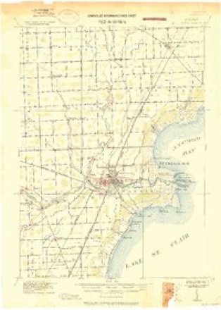
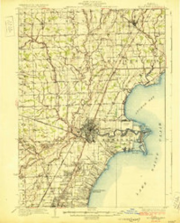
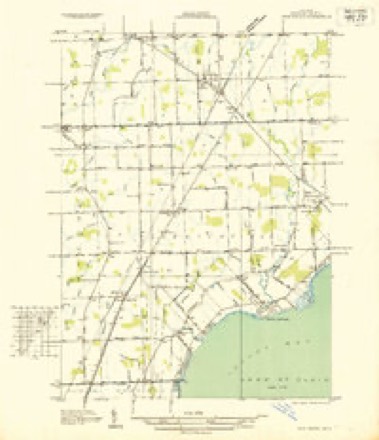
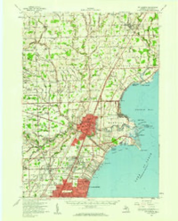
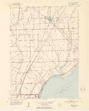
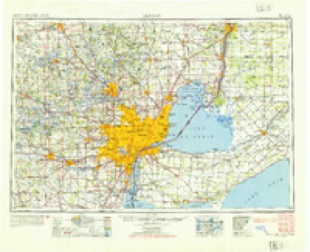
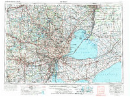
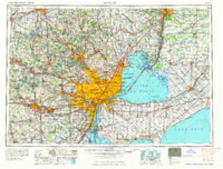
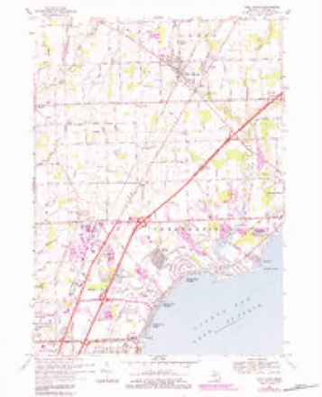
17 topographic sheets cover this place, the earliest surveyed in 1912 and the latest in 1981. It stands in Chesterfield Township. It lies in ZIP code area 48051. It stands on Pitts Drain. The Survey maps it on the New Haven quadrangle.
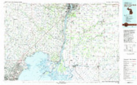
Topographic sheets covering this place
10 surveys from 17 printed sheetsMatched by testing this settlement's coordinate against the published boundary of every sheet in the United States Geological Survey's historical collection. Each opens the scanned sheet at the Survey.
- 1912 USGS Mt Clemens quadrangle1:62500
- 1929 USGS Mt Clemens quadrangle1:62500, 4 printings
- 1936 USGS New Haven quadrangle1:31680
- 1952 USGS Mt Clemens quadrangle1:62500
- 1952 USGS New Haven quadrangle1:24000, 2 printings
- 1954 USGS Detroit quadrangle1:250000
- 1961 USGS Detroit quadrangle1:250000, 2 printings
- 1965 USGS Detroit quadrangle1:250000
- 1968 USGS New Haven quadrangle1:24000, 3 printings
- 1981 USGS Lake St. Clair North quadrangle1:100000
Fires near this place
31 since 2018Regional context, not property-specific evidence. The federal wildfire occurrence database lists 31 fires within 5 miles of Chesterfield between 2018 and 2020, burning about 31 acres in total. 4 started naturally. None was recorded as arson. Distance is straight-line from the map coordinates, so a fire counted here may appear on a neighbouring settlement's page as well.
| Reported cause | Fires |
|---|---|
| Missing data/not specified/undetermined | 14 |
| Equipment and vehicle use | 13 |
| Natural | 4 |
The most recent of them, most recent first, with the day each was reported and the service that recorded it.
| Date | Cause | Size | Reported by | Name on the report |
|---|---|---|---|---|
| 9 August 2019 | Equipment and vehicle use | 1.0 acres | Michigan Department of Natural Resources | NEW BALTIMORE FD 0000743 - 2019 |
| 7 August 2019 | Missing data/not specified/undetermined | 1.0 acres | Michigan Department of Natural Resources | CLINTON TOWNSHIP FIRE/RESCUE 0008251 - 2019 |
| 7 August 2018 | Natural | 1.0 acres | Michigan Department of Natural Resources | MACOMB TOWNSHIP FD 0003200 - 2018 |
| 6 August 2018 | Missing data/not specified/undetermined | 1.0 acres | Michigan Department of Natural Resources | MACOMB TOWNSHIP FD 0003188 - 2018 |
| 29 August 2018 | Equipment and vehicle use | 1.0 acres | Michigan Department of Natural Resources | CLINTON TOWNSHIP FIRE/RESCUE 0008764 - 2018 |
| 16 August 2019 | Equipment and vehicle use | 1.0 acres | Michigan Department of Natural Resources | MACOMB TOWNSHIP FD 0003300 - 2019 |
| 15 August 2019 | Missing data/not specified/undetermined | 1.0 acres | Michigan Department of Natural Resources | LENOX TOWNSHIP FIRE/RESCUE 0000414 - 2019 |
| 10 August 2019 | Missing data/not specified/undetermined | 1.0 acres | Michigan Department of Natural Resources | MACOMB TOWNSHIP FD 0003223 - 2019 |
Settlements close enough to share some of these fires:
Storms near this place
26 since 2003Regional context, not property-specific evidence. The National Weather Service names Chesterfield in 26 storm reports between 2003 and 2024: 16 thunderstorm wind, 6 hail, 2 lightning, 1 wildfire. No death or injury is recorded in these reports. Each account below is quoted exactly as the forecast office filed it, from the NOAA Storm Events Database, and each date opens the federal record of that event.
| When | Event | Place named | Harm | What the report says |
|---|---|---|---|---|
| March 2007 | Flash Flood | Chesterfield | $250,000 | An extreme amount of rain fell in a short period of time, 4 inches in only one hour, during a thunderstorm that became stationary over Clinton Township. Rain fell so fast that sewers were unable to handle the water flow and flash flooding ensued. Water was three to four feet deep in some spots, flooding multiple homes and swamping cars up to their windows. It was estimated that 100 homes suffered some type of water damage, with at least 30 homes flooded by at least 2 feet of water. Multiple roads became impassable from the flooding and had to be closed off. Lifelong residents reported the flooding to be by far the worst they had ever witnessed. This was also not considered a flood plain, thus nearly all residents were without flood insurance. Total monetary damages attributed to the flooding were estimated at roughly $300K. |
| June 2008 | Thunderstorm Wind | Chesterfield | $25,000 | Trees and wires reported down. |
| July 2012 | Thunderstorm Wind | Chesterfield | $20,000 | A few trees were uprooted, one of which fell onto a home and automobile. |
| April 2003 | Wildfire | Chesterfield | $20,000 | no account filed |
| July 2011 | Thunderstorm Wind | Chesterfield | $10,000 | Trees and powerlines blown down. |
| June 2005 | Lightning | Chesterfield | $10,000 | Lightning struck a home in the Kings Pointe subdivision, which caused a fire. |
| April 2014 | Thunderstorm Wind | Chesterfield | $2,000 | Power lines reported down. |
| April 2014 | Thunderstorm Wind | Chesterfield | $2,000 | Power lines reported down. |
| August 2024 | Thunderstorm Wind | Chesterfield | - | Several large tree limbs down and a fence knocked over near 24 Mile and Sass Rd. |
| June 2024 | Thunderstorm Wind | Chesterfield | - | A large pine tree was reported blown down. |
| July 2023 | Thunderstorm Wind | Chesterfield | - | Numerous trees observed blown down. |
| May 2022 | Thunderstorm Wind | Chesterfield | - | Scattered trees were reported blown down. |
| June 2020 | Thunderstorm Wind | Chesterfield | - | Large trees were reported snapped and blown down. |
| October 2017 | Thunderstorm Wind | Chesterfield | - | Power poles reported down. |
| July 2017 | Thunderstorm Wind | Chesterfield | - | Large tree limbs down, along with a fence damaged. |
| August 2015 | Thunderstorm Wind | Chesterfield | - | A large tree was reported down. |
| July 2012 | Thunderstorm Wind | Chesterfield | - | Four to five inch diameter tree limbs reported down. |
| August 2007 | Thunderstorm Wind | Chesterfield | - | A trained spotter reported a large tree branch 1 foot in diameter down. |
| August 2007 | Thunderstorm Wind | Chesterfield | - | A trained spotter reported a large tree branch 1 foot in diameter down. |
| June 2005 | Lightning | Chesterfield | - | Lightning struck a telephone pole on I-94 north of Cotton road leaving many without power. |
| August 2017 | Hail | Chesterfield | - | no account filed |
| July 2017 | Hail | Chesterfield | - | no account filed |
| August 2015 | Hail | Chesterfield | - | no account filed |
| July 2011 | Hail | Chesterfield | - | no account filed |
| March 2007 | Hail | Chesterfield | - | no account filed |
| June 2005 | Hail | Chesterfield | - | no account filed |
Nearest settlements
The eight closest, with where each one stands in the county. Distances are straight-line, computed from the Geographic Names Information System coordinates.
| Map | Place | Distance | Sheets |
|---|---|---|---|
| Sebille Manor | 1.6 miles | 17 | |
| Anchor Bay Gardens | 2.1 miles | 17 | |
| Milton | 2.1 miles | 17 | |
| Anchor Bay Shores | 2.3 miles | 17 | |
| Anchor Bay Harbor | 2.4 miles | 17 | |
| Point Lakeview | 3.4 miles | 17 | |
| Meade | 4.2 miles | 17 | |
| Lottivue | 4.3 miles | 17 |
Provenance
This settlement is recorded in the Geographic Names Information System as feature 623172. The sheet list is computed by point-in-boundary test against the United States Geological Survey's historical topographic inventory. Both are works of the United States government and carry no copyright under 17 U.S.C. 105.
Wildfire. Short, Karen C. 2022. Spatial wildfire occurrence data for the United States, 1992-2020 [FPA_FOD_20221014]. 6th Edition. Fort Collins, CO: Forest Service Research Data Archive. https://doi.org/10.2737/RDS-2013-0009.6 Collected with United States Government funding and usable without additional permissions or fees.
Storms. NOAA National Centers for Environmental Information, Storm Events Database https://www.ncei.noaa.gov/stormevents/ A work of the United States government, no copyright under 17 U.S.C. 105. Narratives are quoted verbatim from the National Weather Service report and are not edited or summarised.