 Block
Pennfield, Michigan
18 topographic sheets cover this place, the earliest surveyed in 1918 and the latest in 1982. It stands in Pennfield Charter Township. It lies in ZIP code area 49014. The Survey maps it on the Ceresco quadrangle.
Topographic sheets covering this place
9 surveys from 18 printed sheetsMatched by testing this settlement's coordinate against the published boundary of every sheet in the United States Geological Survey's historical collection. Each opens the scanned sheet at the Survey.
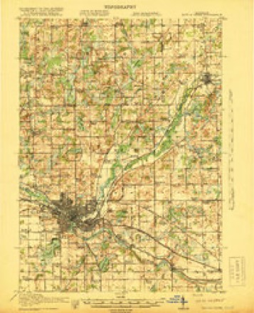
- 1918 USGS Battle Creek quadrangle1:62500, 4 printings
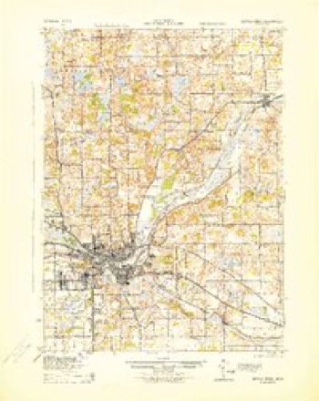
- 1943 USGS Battle Creek quadrangle1:62500
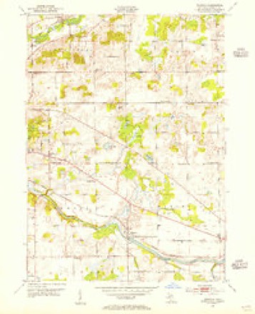
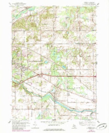
- 1947 USGS Ceresco quadrangle1:24000
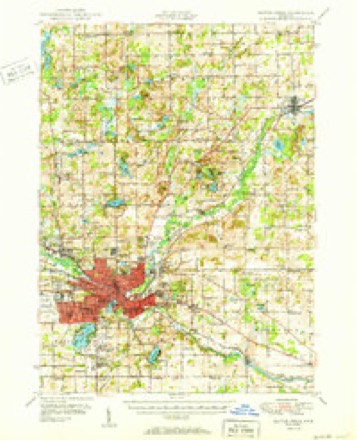
- 1950 USGS Battle Creek quadrangle1:62500, 3 printings
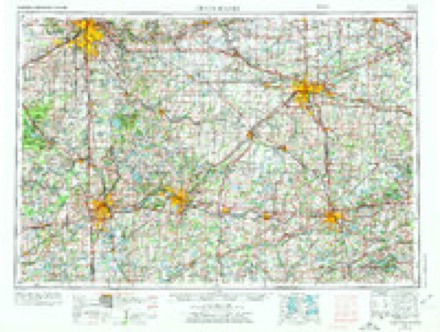
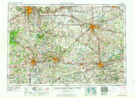
- 1958 USGS Grand Rapids quadrangle1:250000, 2 printings
- 1961 USGS Ceresco quadrangle1:24000, 3 printings
- 1961 USGS Grand Rapids quadrangle1:250000
- 1962 USGS Grand Rapids quadrangle1:250000, 2 printings
- 1982 USGS Kalamazoo quadrangle1:100000
Fires near this place
33 since 2018Regional context, not property-specific evidence. The federal wildfire occurrence database lists 33 fires within 5 miles of Pennfield between 2018 and 2020, burning about 34 acres in total. 3 started naturally. None was recorded as arson. Distance is straight-line from the map coordinates, so a fire counted here may appear on a neighbouring settlement's page as well.
| Reported cause | Fires |
|---|---|
| Missing data/not specified/undetermined | 18 |
| Equipment and vehicle use | 8 |
| Natural | 3 |
| Recreation and ceremony | 2 |
| Smoking | 2 |
The most recent of them, most recent first, with the day each was reported and the service that recorded it.
| Date | Cause | Size | Reported by | Name on the report |
|---|---|---|---|---|
| 21 August 2019 | Missing data/not specified/undetermined | 1.0 acres | Michigan Department of Natural Resources | BATTLE CREEK FD 05036 - 2019 |
| 6 July 2018 | Missing data/not specified/undetermined | 1.0 acres | Michigan Department of Natural Resources | BATTLE CREEK FD 03770 - 2018 |
| 20 July 2019 | Smoking | 1.0 acres | Michigan Department of Natural Resources | EMMETT TOWNSHIP DPS 00881 - 2019 |
| 20 July 2019 | Smoking | 1.0 acres | Michigan Department of Natural Resources | EMMETT TOWNSHIP DPS 00880 - 2019 |
| 13 July 2018 | Recreation and ceremony | 1.0 acres | Michigan Department of Natural Resources | BATTLE CREEK FD 03910 - 2018 |
| 8 May 2018 | Equipment and vehicle use | 1.0 acres | Michigan Department of Natural Resources | BEDFORD TOWNSHIP FD 00117 - 2018 |
| 8 May 2018 | Equipment and vehicle use | 1.0 acres | Michigan Department of Natural Resources | BEDFORD TOWNSHIP FD 00114 - 2018 |
| 4 May 2019 | Missing data/not specified/undetermined | 1.0 acres | Michigan Department of Natural Resources | BATTLE CREEK FD 02571 - 2019 |
Settlements close enough to share some of these fires:
Mines and quarries near this place
2 within 5 milesRegional context, not property-specific evidence. The federal mineral resources record lists 2 workings within 5 miles of Pennfield: 1 producer, 1 past producer. 1 still produces. What was taken out: Sand and Gravel, Construction, Clay. Distance is straight-line from the map coordinates, so a quarry counted here may appear on a neighbouring settlement's page as well.
| Where | Site | Commodity | Status | Recorded |
|---|---|---|---|---|
| Alpha Prtlnd Cmnt Co Clay Pit | Clay | Past Producer | ||
| Huntington Dredge & Mill | Sand and Gravel, Construction | Producer |
Storms near this place
9 since 1998Regional context, not property-specific evidence. The National Weather Service names Pennfield in 9 storm reports between 1998 and 2024: 7 thunderstorm wind, 2 hail. The reports record 1 death and 2 injuries. Each account below is quoted exactly as the forecast office filed it, from the NOAA Storm Events Database, and each date opens the federal record of that event.
| When | Event | Place named | Harm | What the report says |
|---|---|---|---|---|
| June 1998 | Thunderstorm Wind | Pennfield | 1 killed, 2 hurt, $500,000 | The same supercell thunderstorm which produced the F1 tornado in northwest Calhoun County produced a wet microburst as it moved across Pennfield Township. The downburst caused one fatality and 2 injuries approximately 1/2 mile south of Pennfield High School, just east of the Battle Creek River in the vicinity of Pony Street and Clarence Blvd. Approximately 12 homes sustained varying degrees of damage in this location. Two modular homes on adjacent properties along Clarence Blvd. were blown off their foundations and destroyed. A 75 year old man in the northernmost structure was killed, while a teenage girl who occupied the neighboring home was critically injured and her mother sustained minor injuries. A 20 foot camping trailer was hurled in a grove of small trees over 100 feet away and was demolished. In addition, several vehicles were damaged. A damage survey conducted by the National Weather Service Office in Grand Rapids revealed a unidirectional damage pattern associated with straight-line winds. It appeared a powerful wet microburst occurred in Pennfield Township as the severe thunderstorm mesocyclone weakened. Wind speeds were estimated to have reached 120 mph at the damage site. |
| June 2024 | Thunderstorm Wind | Pennfield | $25,000 | Several limbs and power lines were blown down near Pennfield. |
| July 2005 | Thunderstorm Wind | Pennfield | $25,000 | no account filed |
| August 2018 | Thunderstorm Wind | Pennfield | $15,000 | The Calhoun county 911 call center reported that several reports of downed trees and power lines were received from across the county. |
| July 2002 | Thunderstorm Wind | Pennfield | $3,000 | Several large tree limbs were blown down by thunderstorm wind gusts, one of which fell down on and blocked a road in Pennfield. |
| May 2011 | Thunderstorm Wind | Pennfield | - | Calhoun county emergency manager reported multiple large, healthy trees down within Emmett Township. |
| August 2011 | Thunderstorm Wind | Pennfield | - | A Calhoun county official reported that numerous trees were blown down at the intersection of E Avenue and Poorman Roads, Lynch and Pine Lake Roads and Smith and W Drive. |
| June 1998 | Hail | Pennfield | - | Residents reported to NWS Grand Rapids officials that one inch diameter hail fell immediately before downburst of damaging winds hit Pennfield Township. |
| June 1998 | Hail | Pennfield | - | no account filed |
Nearest settlements
The eight closest, with where each one stands in the county. Distances are straight-line, computed from the Geographic Names Information System coordinates.
| Map | Place | Distance | Sheets |
|---|---|---|---|
| Greenfield Park | 3.2 miles | 18 | |
| Maplehurst | 3.3 miles | 18 | |
| Verona Park | 4.1 miles | 18 | |
| Brownlee Park | 4.3 miles | 18 | |
| Morgan Corners | 4.4 miles | 18 | |
| Orchard Park | 4.9 miles | 18 | |
| Wattles Park | 5.0 miles | 18 | |
| Battle Creek | 5.5 miles | 18 |
Provenance
This settlement is recorded in the Geographic Names Information System as feature 1617780. The sheet list is computed by point-in-boundary test against the United States Geological Survey's historical topographic inventory. Both are works of the United States government and carry no copyright under 17 U.S.C. 105.
Wildfire. Short, Karen C. 2022. Spatial wildfire occurrence data for the United States, 1992-2020 [FPA_FOD_20221014]. 6th Edition. Fort Collins, CO: Forest Service Research Data Archive. https://doi.org/10.2737/RDS-2013-0009.6 Collected with United States Government funding and usable without additional permissions or fees.
Mines and quarries. USGS Mineral Resources Data System (MRDS) https://mrdata.usgs.gov/mrds/ A work of the United States government, no copyright under 17 U.S.C. 105.
Storms. NOAA National Centers for Environmental Information, Storm Events Database https://www.ncei.noaa.gov/stormevents/ A work of the United States government, no copyright under 17 U.S.C. 105. Narratives are quoted verbatim from the National Weather Service report and are not edited or summarised.