 Block
Sugar Loaf, Michigan
18 topographic sheets cover this place, the earliest surveyed in 1907 and the latest in 1985. It stands in Marquette Charter Township. It lies in ZIP code area 49855. It lies near Sugarloaf Mountain. The Survey maps it on the Marquette quadrangle.
Topographic sheets covering this place
8 surveys from 18 printed sheetsMatched by testing this settlement's coordinate against the published boundary of every sheet in the United States Geological Survey's historical collection. Each opens the scanned sheet at the Survey.
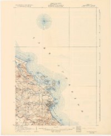
- 1907 USGS Marquette quadrangle1:62500, 3 printings
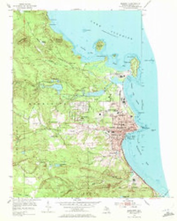
- 1954 USGS Marquette quadrangle1:24000, 6 printings
- 1954 USGS Marquette quadrangle1:62500
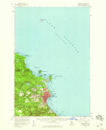
- 1958 USGS Marquette quadrangle1:250000, 2 printings
- 1960 USGS Marquette quadrangle1:250000
- 1961 USGS Marquette quadrangle1:250000
- 1968 USGS Marquette quadrangle1:250000
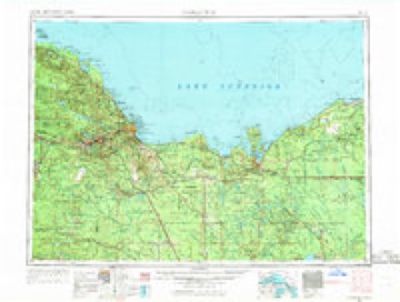
- 1985 USGS Marquette quadrangle1:100000, 3 printings
Fires near this place
48 since 1992Regional context, not property-specific evidence. The federal wildfire occurrence database lists 48 fires within 5 miles of Sugar Loaf between 1992 and 2020, burning about 102 acres in total. 7 started naturally. None was recorded as arson. Distance is straight-line from the map coordinates, so a fire counted here may appear on a neighbouring settlement's page as well.
| Reported cause | Fires |
|---|---|
| Missing data/not specified/undetermined | 15 |
| Recreation and ceremony | 14 |
| Natural | 7 |
| Debris and open burning | 4 |
| Power generation/transmission/distribution | 3 |
| Railroad operations and maintenance | 1 |
| Other causes | 1 |
| Misuse of fire by a minor | 1 |
| Fireworks | 1 |
| Smoking | 1 |
The most recent of them, most recent first, with the day each was reported and the service that recorded it.
| Date | Cause | Size | Reported by | Name on the report |
|---|---|---|---|---|
| 9 September 2019 | Missing data/not specified/undetermined | 1.0 acres | Michigan Department of Natural Resources | MARQUETTE TWP FIRE/RESCUE 0000338 - 2019 |
| 8 September 2008 | Recreation and ceremony | under an acre | Michigan Department of Natural Resources | SURVIVOR MAN |
| 3 September 2008 | Recreation and ceremony | under an acre | Michigan Department of Natural Resources | OLD BEAGLE CLUB |
| 28 September 2008 | Recreation and ceremony | under an acre | Michigan Department of Natural Resources | not named |
| 21 September 1993 | Recreation and ceremony | under an acre | Michigan Department of Natural Resources | not named |
| 10 September 2011 | Missing data/not specified/undetermined | 1.0 acres | Michigan Department of Natural Resources | WETMORE POND WEST |
| 9 August 2008 | Natural | under an acre | Michigan Department of Natural Resources | BISMARK CREEK |
| 31 August 2003 | Natural | 3.0 acres | Michigan Department of Natural Resources | not named |
Settlements close enough to share some of these fires:
Mines and quarries near this place
10 of 11 shownRegional context, not property-specific evidence. The federal mineral resources record lists 11 workings within 5 miles of Sugar Loaf: 8 occurrences, 3 producers. 3 still produce. What was taken out: Copper, Gold, Sand and Gravel, Construction, Copper, Lead, Nickel. Distance is straight-line from the map coordinates, so a quarry counted here may appear on a neighbouring settlement's page as well.
| Where | Site | Commodity | Status | Recorded |
|---|---|---|---|---|
| Unnamed Copper&Lead&Zinc Prospect | Copper, Lead, Zinc | Occurrence | ||
| Unnamed Copper&Nickel&Lead Prospect | Copper, Lead, Nickel | Occurrence | ||
| City of Marquette Pit | Sand and Gravel, Construction | Producer | ||
| City of Marquette Pit | Sand and Gravel, Construction | Producer | ||
| Herman Gunlach Company | Sand and Gravel, Construction | Producer | ||
| Unnamed Copper Deposit | Gold | Occurrence | ||
| Unnamed Copper Prospect | Copper | Occurrence | ||
| Unnamed Copper Prospect | Gold | Occurrence | ||
| Unnamed Copper Prospect | Copper | Occurrence | ||
| Unnamed Copper Prospect | Copper | Occurrence |
Storms near this place
5 since 2012Regional context, not property-specific evidence. The National Weather Service names Sugar Loaf in 5 storm reports between 2012 and 2026: 4 hail, 1 flood. No death or injury is recorded in these reports. Each account below is quoted exactly as the forecast office filed it, from the NOAA Storm Events Database, and each date opens the federal record of that event.
| When | Event | Place named | Harm | What the report says |
|---|---|---|---|---|
| April 2026 | Flood | Sugar Loaf | $638,000 | Emergency management reported multiple rivers and low lying areas were inundated by the combination of rain and snowmelt. In Gwinn, multiple roadways were inaccessible due to flooding on the Escanaba River by the 18th. Division Street in Negaunee was closed daily from the 13th onwards. Harlow Lake Rd (County Road HD) was closed at County Road 550 on the 17th. Flooding at Pelissier Lake in Sands Township resulted in 1 evacuation with well water being unsafe due to the high water table making septic systems inoperable. Ely, Humboldt, Champion, and Republic townships experienced water over multiple roadways, including the road at Steel Bridge Rd (Ely Township, County Road CG) on the 18th. The Chocolay River Fishing pier was underwater by the 19th. The Iron Ore Heritage Trail west of Wawanowin Rd to the city of Republic had flowing water on the trail by the 21st. 10 properties along the Michigamme River were inaccessible on the 23rd. Jasper Street in Ishpeming had a sinkhole that was filled on the 23rd. Due to the severity of the flooding, a Disaster Declaration Request was approved by the president on June 30th. |
| June 2012 | Hail | Sugar Loaf | $500,000 | Golf ball sized hail busted out windows and damaged roofs in homes on the north side of Marquette. The hail also dented vehicles. |
| July 2023 | Hail | Sugar Loaf | - | A NWS employee reported penny sized hail just north of Marquette. |
| June 2016 | Hail | Sugar Loaf | - | There was a delayed report via social media of penny-sized hail near Hogback Mountain. The hail was accompanied by torrential rain. |
| June 2012 | Hail | Sugar Loaf | - | Quarter-sized hail was reported at a convenience store northwest of Marquette. |
Nearest settlements
The eight closest, with where each one stands in the county. Distances are straight-line, computed from the Geographic Names Information System coordinates.
| Map | Place | Distance | Sheets |
|---|---|---|---|
| Forestville | 0.8 miles | 18 | |
| Wetmore Landing | 2.2 miles | 18 | |
| Trowbridge Park | 2.3 miles | 18 | |
| Freeman Landing | 2.3 miles | 18 | |
| Brookton Corners | 2.8 miles | 18 | |
| Marquette | 4.1 miles | 18 | |
| Pioneer Estates | 4.7 miles | 18 | |
| Eagle Mills | 7.1 miles | 15 |
Provenance
This settlement is recorded in the Geographic Names Information System as feature 1617877. The sheet list is computed by point-in-boundary test against the United States Geological Survey's historical topographic inventory. Both are works of the United States government and carry no copyright under 17 U.S.C. 105.
Wildfire. Short, Karen C. 2022. Spatial wildfire occurrence data for the United States, 1992-2020 [FPA_FOD_20221014]. 6th Edition. Fort Collins, CO: Forest Service Research Data Archive. https://doi.org/10.2737/RDS-2013-0009.6 Collected with United States Government funding and usable without additional permissions or fees.
Mines and quarries. USGS Mineral Resources Data System (MRDS) https://mrdata.usgs.gov/mrds/ A work of the United States government, no copyright under 17 U.S.C. 105.
Storms. NOAA National Centers for Environmental Information, Storm Events Database https://www.ncei.noaa.gov/stormevents/ A work of the United States government, no copyright under 17 U.S.C. 105. Narratives are quoted verbatim from the National Weather Service report and are not edited or summarised.