 Block
Albany, Minnesota
9 topographic sheets cover this place, the earliest surveyed in 1953 and the latest in 1986. It stands in Albany Township. It lies in ZIP code area 56307. The Survey maps it on the Albany quadrangle. 2,780 people lived here at the 2020 count. It stands 1,204 feet above sea level.
Population over time
2 figuresAlbany grew from 2,561 to 2,780 between 2010 and 2020. These are the recorded population figures Wikidata holds for this place, reached through the Geographic Names Information System number this page is keyed on rather than by name, so they belong to this place and not to another of the same name. Most are census counts, but not all are: an early figure may be a founding or settlement estimate, and an estimate published within five years of a census is left out. The change column is computed, and is left blank where more than 20 years separate a figure from the one before it, because a gap that long is not a change between two counts.
| Year | People | Change |
|---|---|---|
| 2010 | 2,561 | |
| 2020 | 2,780 | +219 (+9%) |
Topographic sheets covering this place
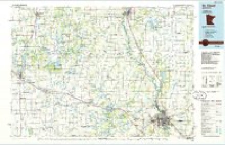
5 surveys from 9 printed sheetsMatched by testing this settlement's coordinate against the published boundary of every sheet in the United States Geological Survey's historical collection. Each opens the scanned sheet at the Survey.
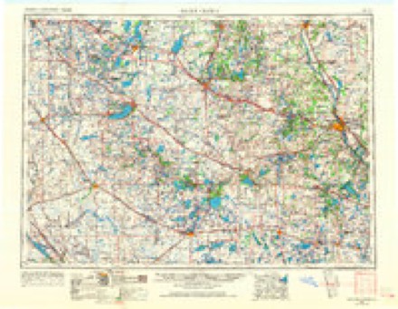
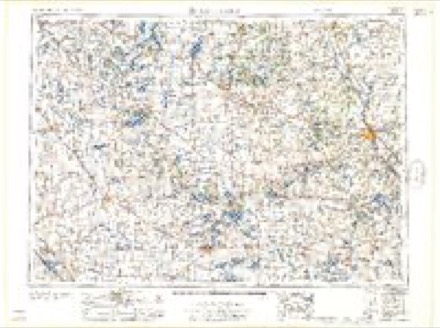
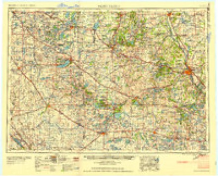
- 1953 USGS Saint Cloud quadrangle1:250000, 3 printings
- 1957 USGS Saint Cloud quadrangle1:250000
- 1958 USGS Saint Cloud quadrangle1:250000
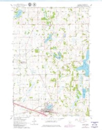
- 1965 USGS Albany quadrangle1:24000, 2 printings
- 1986 USGS St. Cloud quadrangle1:100000, 2 printings
In the county-history sources
202 words on this townshipHistory of Stearns County, Minnesota, published 1915 names this settlement in its chapter on Albany Township. These are the passages that mention it, exactly as the scans read.
The history of newspaperdom in the village of Albany has had many changes in the trials of its career of nearly nine years, when the first paper was launched within its boundaries. Will R. Schutz is honored with the establishment of the Albany Tribune in November, 1906, which he conducted until April 30, 1909, when he sold it to Alois Lenarz, who ran the paper for some time, after which it suspended publication. Being without a paper for a short time only convinced its citizens that a town needs its local paper, and on March 30, 1910, a new sheet was born and christened the Albany Enterprise, under the management of S. D. Pierce. On August 4 of the same year found the Enterprise without a publisher and Editor Nelson, of the Holdingford Advertiser, was induced to come down to Albany and revive it. After three weeks a deal was completed whereby Editor Nelson took over the plant. He held the reins until March 4, 1912, when he disposed of the business and outfit to W. M. Kommerstad, who has conducted the paper up to this time. The Enterprise has for its size one of the best equipped plants in the county.
Passage source: History of Stearns County, Minnesota, published 1915.
Machine-read from a century-old scan, so expect the errors a machine makes: misspelled names, dropped words, stray characters.
Storms near this place
25 since 1996Regional context, not property-specific evidence. The National Weather Service names Albany in 25 storm reports between 1996 and 2025: 17 hail, 5 thunderstorm wind, 2 tornado, 1 flash flood. The reports record 1 death and 33 injuries. Each account below is quoted exactly as the forecast office filed it, from the NOAA Storm Events Database, and each date opens the federal record of that event.
| When | Event | Place named | Harm | What the report says |
|---|---|---|---|---|
| May 1998 | Tornado (F1) | Albany | 1 killed, 30 hurt, $3,000,000 | Tornado struck outdoor flea market in Albany, blowing numerous recreational vehicles over. One man was killed when a recreational vehicle was blown on top of him. 30 others were injured. A farmstead was severely damaged northeast of St. Francis just before liftoff of the tornado. |
| October 1996 | Tornado (F2) | Albany | 3 hurt | no account filed |
| May 2012 | Hail | Albany | $500,000 | Golf ball size hail lasted for several minutes and caused extensive damage across the city, including numerous cars and home windows shattered. |
| July 2025 | Flash Flood | Albany | - | Emergency manager reported major impacts in the city of Albany due to heavy rain and flash flooding. This was supported by several public reports of urban and county road flooding, including CR 157 northwest of Albany and at the I-94 underpass. |
| July 2023 | Thunderstorm Wind | Albany | - | Twelve to eighteen inch trees blown down. Shingles blown off several rooftops. Time estimated by radar. |
| July 2015 | Thunderstorm Wind | Albany | - | A few trees were blown down in Albany. |
| July 2008 | Thunderstorm Wind | Albany | - | Power lines toppled. |
| June 2007 | Hail | Albany | - | Crop damage was reported in the area. |
| June 2007 | Thunderstorm Wind | Albany | - | Trees and power lines down. Crop damage was reported in the area. |
| July 2023 | Hail | Albany | - | no account filed |
| July 2023 | Hail | Albany | - | no account filed |
| April 2010 | Hail | Albany | - | no account filed |
| June 2007 | Hail | Albany | - | no account filed |
| August 2006 | Hail | Albany | - | no account filed |
| June 2005 | Hail | Albany | - | no account filed |
| September 2005 | Hail | Albany | - | no account filed |
| June 2004 | Hail | Albany | - | no account filed |
| July 2003 | Hail | Albany | - | no account filed |
| July 2002 | Hail | Albany | - | no account filed |
| August 2002 | Hail | Albany | - | no account filed |
| June 2001 | Hail | Albany | - | no account filed |
| June 2001 | Hail | Albany | - | no account filed |
| July 1999 | Hail | Albany | - | no account filed |
| May 1998 | Hail | Albany | - | no account filed |
| June 1998 | Thunderstorm Wind | Albany | - | no account filed |
Nearest settlements
The eight closest, with where each one stands in the county. Distances are straight-line, computed from the Geographic Names Information System coordinates.
| Map | Place | Distance | Sheets |
|---|---|---|---|
| Saint Anthony | 4.5 miles | 9 | |
| Saint Anna | 5.5 miles | 8 | |
| Avon | 6.4 miles | 10 | |
| Freeport | 6.8 miles | 10 | |
| Farming | 8.1 miles | 9 | |
| Holdingford | 8.8 miles | 8 | |
| Saint Francis | 9.0 miles | 10 | |
| New Munich | 9.7 miles | 10 |
Elsewhere
Matched on this settlement's Geographic Names Information System number rather than its name, so it cannot be a different place of the same name in another state.
| Wikipedia article on Albany | An encyclopaedic summary. Its text is share-alike, so it is linked here rather than copied. |
| Wikidata item Q2334586 | The structured record the population and elevation above come from. Public domain (CC0). |
Provenance
This settlement is recorded in the Geographic Names Information System as feature 639241. The sheet list is computed by point-in-boundary test against the United States Geological Survey's historical topographic inventory. Both are works of the United States government and carry no copyright under 17 U.S.C. 105.
Storms. NOAA National Centers for Environmental Information, Storm Events Database https://www.ncei.noaa.gov/stormevents/ A work of the United States government, no copyright under 17 U.S.C. 105. Narratives are quoted verbatim from the National Weather Service report and are not edited or summarised.