 Block
Blakeley, Minnesota
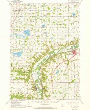
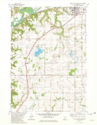
11 topographic sheets cover this place, the earliest surveyed in 1953 and the latest in 1985. It stands in Blakeley Township. It lies in ZIP code area 56011. It stands on Big Possum Creek. The Survey maps it on the Belle Plaine South quadrangle.
Topographic sheets covering this place
7 surveys from 11 printed sheetsMatched by testing this settlement's coordinate against the published boundary of every sheet in the United States Geological Survey's historical collection. Each opens the scanned sheet at the Survey.
- 1953 USGS Saint Paul quadrangle1:250000, 3 printings
- 1953 USGS St. Paul quadrangle1:250000
- 1957 USGS Belle Plaine quadrangle1:62500, 2 printings
- 1959 USGS Saint Paul quadrangle1:250000
- 1959 USGS St. Paul quadrangle1:250000
- 1981 USGS Belle Plaine South quadrangle1:24000
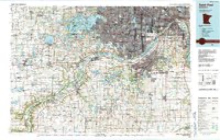
- 1985 USGS Saint Paul quadrangle1:100000, 2 printings




Fires near this place
3 since 2006Regional context, not property-specific evidence. The federal wildfire occurrence database lists 3 fires within 5 miles of Blakeley between 2006 and 2013, burning about 83 acres in total. None started naturally. 1 was recorded as arson. Distance is straight-line from the map coordinates, so a fire counted here may appear on a neighbouring settlement's page as well.
| Reported cause | Fires |
|---|---|
| Missing data/not specified/undetermined | 1 |
| Recreation and ceremony | 1 |
| Arson/incendiarism | 1 |
The most recent of them, most recent first, with the day each was reported and the service that recorded it.
| Date | Cause | Size | Reported by | Name on the report |
|---|---|---|---|---|
| 19 August 2008 | Recreation and ceremony | under an acre | Minnesota Valley National Wildlife Refuge | DOHENY |
| 30 April 2013 | Arson/incendiarism | 8.0 acres | Minnesota Valley National Wildlife Refuge | JESSENLAND |
| 7 October 2006 | Missing data/not specified/undetermined | 75 acres | Minnesota Valley National Wildlife Refuge | HENDERSON ASSIST |
Mines and quarries near this place
3 within 5 milesRegional context, not property-specific evidence. The federal mineral resources record lists 3 workings within 5 miles of Blakeley: 2 producers, 1 past producer. 2 still produce. What was taken out: Sand and Gravel, Construction. Distance is straight-line from the map coordinates, so a quarry counted here may appear on a neighbouring settlement's page as well.
| Where | Site | Commodity | Status | Recorded |
|---|---|---|---|---|
| Belle Plaine Pit | Sand and Gravel, Construction | Producer | ||
| Bergs Pit and Mill | Sand and Gravel, Construction | Past Producer | ||
| Sheperd Pit and Mill | Sand and Gravel, Construction | Producer |
Storms near this place
16 since 1998Regional context, not property-specific evidence. The National Weather Service names Blakeley in 16 storm reports between 1998 and 2021: 7 hail, 4 thunderstorm wind, 3 tornado, 1 flash flood. No death or injury is recorded in these reports. Each account below is quoted exactly as the forecast office filed it, from the NOAA Storm Events Database, and each date opens the federal record of that event.
| When | Event | Place named | Harm | What the report says |
|---|---|---|---|---|
| June 2014 | Flood | Blakeley | $9,000,000 | Several sources in Scott County compiled a summary of flood related damages and locations for the flood of June 2014. There were multiple reports of road closures due to high water and debris. Sporadic power outages reported throughout the county due to the water and electrical equipment being underwater. Mudslides and flood waters cut off all access to the town of Blakeley. This included train tracks that impacted Union Pacific and Canadian Pacific rail operations. Highways 6, 41 and 101 were all closed from flood waters of the Minnesota River. The town of Louisville, north of Jordan and west of Prior Lake, had two homes surrounded by flood waters during the height of the flood. Highway 169 was the only access from Scott County during the height of the flooding. In addition, no wake zones were posted on area lakes due to high levels and several parks were closed. Due to high levels on Prior Lake, County Road 21 was closed near the downtown area. In addition, numerous homes along the lake started to sandbag due to rising lake levels. In Shakopee, three rides were shut down at Valleyfair because of floodwaters that spilled into the park and across its parking lots. |
| June 2012 | Tornado (EF0) | Blakeley | $250,000 | An EF-0 tornado continued from Le Sueur County, into Scott County and moved northeast for approximately 1.7 miles before dissipating 4.5 miles south-southeast of Belle Plaine. The tornado had a maximum width of 50 yards. A farm near Henderson sustained heavy damage, with a 60,000 bushel grain bin destroyed and at least one other damaged, plus a workshop roof was blown off, with rafters and support beams cracked in a storage shed. |
| June 2010 | Flash Flood | Blakeley | $50,000 | Several retaining walls collapsed due to excessive rainfall amounts, and caused mud flows and logs to flow onto city streets. |
| May 2021 | Tornado (EF0) | Blakeley | - | A brief touchdown was reported east-northeast of Henderson as it crossed Highway 19, moving from Le Sueur County into Scott County. It blew a trampoline and damaged a play set on the Le Sueur County side before moving north and damaging some trees in a grove in Scott County per a NWS damage survey. |
| July 2020 | Hail | Blakeley | - | A local trained spotter reported dime to occasional quarter size hail in the town of Belle Plaine. Radar indicated that the strongest part of the storm occurred southwest of Belle Plaine which likely had hail stones much larger. There were also strong winds that caused some large branches to be blown down, and it also moved outdoor furniture. |
| June 2019 | Thunderstorm Wind | Blakeley | - | A few power lines were blown down on the 26400 Block of German Road, southwest of Belle Plaine. |
| June 2010 | Thunderstorm Wind | Blakeley | - | A 52 knot wind gust was measured near Belle Plaine, Minnesota. |
| July 2009 | Hail | Blakeley | - | The public reported nickel size hail three miles south of Blakeley. |
| May 2008 | Hail | Blakeley | - | Occurred at Highway 169 and County road 60. |
| August 2001 | Thunderstorm Wind | Blakeley | - | Large tree blown onto Hwy 19. |
| July 1999 | Tornado (F0) | Blakeley | - | Silo tops taken off, some trees down. |
| June 2012 | Hail | Blakeley | - | no account filed |
| June 2012 | Thunderstorm Wind | Blakeley | - | no account filed |
| May 2011 | Hail | Blakeley | - | no account filed |
| June 2002 | Hail | Blakeley | - | no account filed |
| August 1998 | Hail | Blakeley | - | no account filed |
Nearest settlements
The eight closest, with where each one stands in the county. Distances are straight-line, computed from the Geographic Names Information System coordinates.
| Map | Place | Distance | Sheets |
|---|---|---|---|
| Valley View Terrace | 4.3 miles | 11 | |
| Belle Plaine | 4.6 miles | 11 | |
| Lawrence | 9.5 miles | 11 | |
| Jordan | 12.6 miles | 11 | |
| Saint Benedict | 12.8 miles | 11 | |
| Mudbaden | 13.7 miles | 12 | |
| Saint Josephs | 15.7 miles | 12 | |
| Baden | 15.8 miles | 12 |
Provenance
This settlement is recorded in the Geographic Names Information System as feature 640253. The sheet list is computed by point-in-boundary test against the United States Geological Survey's historical topographic inventory. Both are works of the United States government and carry no copyright under 17 U.S.C. 105.
Wildfire. Short, Karen C. 2022. Spatial wildfire occurrence data for the United States, 1992-2020 [FPA_FOD_20221014]. 6th Edition. Fort Collins, CO: Forest Service Research Data Archive. https://doi.org/10.2737/RDS-2013-0009.6 Collected with United States Government funding and usable without additional permissions or fees.
Mines and quarries. USGS Mineral Resources Data System (MRDS) https://mrdata.usgs.gov/mrds/ A work of the United States government, no copyright under 17 U.S.C. 105.
Storms. NOAA National Centers for Environmental Information, Storm Events Database https://www.ncei.noaa.gov/stormevents/ A work of the United States government, no copyright under 17 U.S.C. 105. Narratives are quoted verbatim from the National Weather Service report and are not edited or summarised.