 Block
Burnsville, Minnesota
26 topographic sheets cover this place, the earliest surveyed in 1896 and the latest in 1997. It stands in Burnsville City. It lies in ZIP code area 55337. The Survey maps it on the Bloomington quadrangle. 64,317 people lived here at the 2020 count. It stands 974 feet above sea level.
Research this city
On record in Burnsville
Buildings and businesses the archive holds for this place. Each opens its own page, with the source record it came from.
On the National Register 1 record
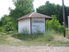
Population over time
2 figuresBurnsville grew from 60,306 to 64,317 between 2010 and 2020. These are the recorded population figures Wikidata holds for this place, reached through the Geographic Names Information System number this page is keyed on rather than by name, so they belong to this place and not to another of the same name. Most are census counts, but not all are: an early figure may be a founding or settlement estimate, and an estimate published within five years of a census is left out. The change column is computed, and is left blank where more than 20 years separate a figure from the one before it, because a gap that long is not a change between two counts.
| Year | People | Change |
|---|---|---|
| 2010 | 60,306 | |
| 2020 | 64,317 | +4,011 (+7%) |
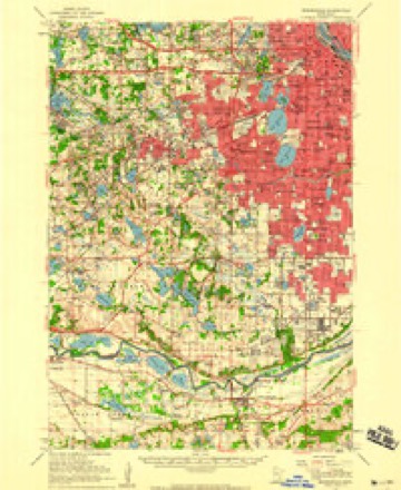
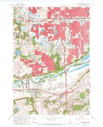
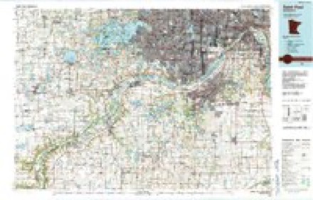
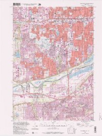
Topographic sheets covering this place
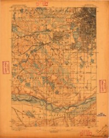
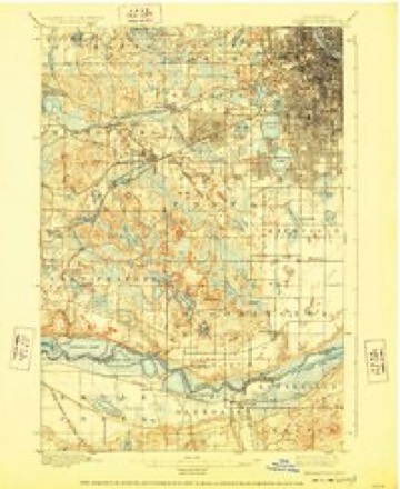
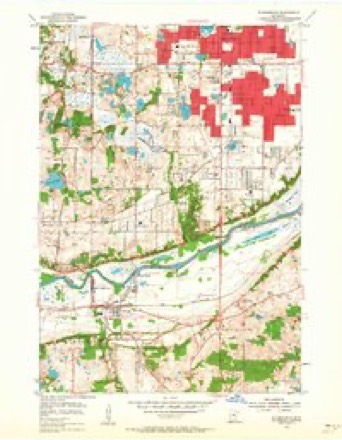
11 surveys from 26 printed sheetsMatched by testing this settlement's coordinate against the published boundary of every sheet in the United States Geological Survey's historical collection. Each opens the scanned sheet at the Survey.
- 1896 USGS Minneapolis quadrangle1:62500
- 1901 USGS Minneapolis quadrangle1:62500, 8 printings
- 1953 USGS Saint Paul quadrangle1:250000, 3 printings
- 1953 USGS St. Paul quadrangle1:250000
- 1954 USGS Bloomington quadrangle1:24000, 2 printings
- 1954 USGS Minneapolis quadrangle1:62500
- 1959 USGS Saint Paul quadrangle1:250000
- 1959 USGS St. Paul quadrangle1:250000
- 1967 USGS Bloomington quadrangle1:24000, 5 printings
- 1985 USGS Saint Paul quadrangle1:100000, 2 printings
- 1997 USGS Bloomington quadrangle1:24000




Fires near this place
87 since 1995Regional context, not property-specific evidence. The federal wildfire occurrence database lists 87 fires within 5 miles of Burnsville between 1995 and 2020, burning about 1,505 acres in total. None started naturally. 19 were recorded as arson. Distance is straight-line from the map coordinates, so a fire counted here may appear on a neighbouring settlement's page as well.
| Reported cause | Fires |
|---|---|
| Recreation and ceremony | 51 |
| Arson/incendiarism | 19 |
| Missing data/not specified/undetermined | 16 |
| Fireworks | 1 |
The most recent of them, most recent first, with the day each was reported and the service that recorded it.
| Date | Cause | Size | Reported by | Name on the report |
|---|---|---|---|---|
| 25 September 2008 | Recreation and ceremony | under an acre | Minnesota Valley National Wildlife Refuge | BLACKDOG EAST |
| 17 August 2005 | Arson/incendiarism | under an acre | Minnesota Valley National Wildlife Refuge | CLEVELAND |
| 13 August 2004 | Recreation and ceremony | 1.0 acres | Minnesota Valley National Wildlife Refuge | BLACK DOG 9 |
| 1 August 2012 | Recreation and ceremony | under an acre | Minnesota Valley National Wildlife Refuge | BLACKDOG 1 |
| 7 July 2013 | Recreation and ceremony | under an acre | Minnesota Valley National Wildlife Refuge | CEDAR AVE 3 |
| 6 July 2006 | Arson/incendiarism | under an acre | Minnesota Valley National Wildlife Refuge | CEDAR PLANK |
| 6 July 2005 | Recreation and ceremony | under an acre | Minnesota Valley National Wildlife Refuge | LYNDALE 2 |
| 6 July 2005 | Recreation and ceremony | under an acre | Minnesota Valley National Wildlife Refuge | LYNDALE 1 |
Settlements close enough to share some of these fires:
Mines and quarries near this place
7 within 5 milesRegional context, not property-specific evidence. The federal mineral resources record lists 7 workings within 5 miles of Burnsville: 4 producers, 3 unknowns. 4 still produce. What was taken out: Sand and Gravel, Construction, Stone, Crushed/Broken. Distance is straight-line from the map coordinates, so a quarry counted here may appear on a neighbouring settlement's page as well.
| Where | Site | Commodity | Status | Recorded |
|---|---|---|---|---|
| Burnsville Quarry | Stone, Crushed/Broken | Producer | ||
| Fisher Sand & Aggregate Pit | Sand and Gravel, Construction | Producer | ||
| Kraemer Pit | Sand and Gravel, Construction | Unknown | ||
| Mva Pit & Mill | Sand and Gravel, Construction | Producer | ||
| Northwestern Sand & Gravel Pit | Sand and Gravel, Construction | Unknown | ||
| Rosemont Pit | Sand and Gravel, Construction | Producer | ||
| Shakopee Sand & Gravel Pit | Sand and Gravel, Construction | Unknown |
Storms near this place
60 of 65 shownRegional context, not property-specific evidence. The National Weather Service names Burnsville in 65 storm reports between 1995 and 2025: 38 hail, 17 thunderstorm wind, 3 lightning, 3 flash flood. The reports record 7 injuries. Each account below is quoted exactly as the forecast office filed it, from the NOAA Storm Events Database, and each date opens the federal record of that event.
| When | Event | Place named | Harm | What the report says |
|---|---|---|---|---|
| May 1998 | Thunderstorm Wind | Burnsville | 7 hurt, $140,000,000 | Brick wall blown in at retail center. 2000 trees blown down. Indoor mall sustained $1 million in damage. 3 homes destroyed. Numerous trees down. Damage estimate for entire county. Estimated windspeed. |
| May 1998 | Hail | Burnsville | $100,000,000 | Widespread damage to houses and vehicles by wind driven hail. Damage estimate for entire county. |
| June 2001 | Hail | Burnsville | $500,000 | Wind driven hail damaged houses and vehicles. |
| July 2013 | Flash Flood | Burnsville | $150,000 | Several local officials, trained spotters and the general public observed flash flooding across western Dakota County due to 3, to locally 5, inches of rain that fell between 5 AM CST to 9 AM CST. Numerous county roads were inundated with flood waters, especially along the western part of the Vermillion River and Chub Creek. Dodd Blvd, near 194th street, in Lakeville, was closed for a short period due to flood waters. A foot of flowing water was over Highway 19, about a quarter mile east of Interstate 35 during the height of the storm. An official observer near the intersection of Interstates 35W and 35E measured 4.47 inches of rainfall in 3 hours. |
| November 2012 | Tornado (EF0) | Burnsville | $150,000 | An EF-0 tornado developed northeast of the intersection of County Road 5 and McAndrews Road, and tracked northeast to just southwest of the intersection of Burnsville Parkway and County Road 11. A large area of uprooted trees and power lines occurred along a non-continuous broken path of 2.8 miles in a heavily populated region of Burnsville. The worst damage occurred in a two block area between Knoll Lane and Nicollet Avenue, and Nicollet Jr High School. |
| June 2016 | Hail | Burnsville | $1,000 | The public reported half dollar size hail near Burnsville. The hail stones damaged a vehicle. |
| July 2016 | Thunderstorm Wind | Burnsville | $1,000 | A large section of a privacy fence was blown down in Burnsville. |
| August 2025 | Hail | Burnsville | - | Hail was photographed near County Roads 42 and 5. It hailed for roughly five minutes. |
| September 2021 | Thunderstorm Wind | Burnsville | - | A large tree was uprooted near I-35 and Nicollet Avenue in Burnsville. |
| March 2019 | Flood | Burnsville | - | Snow melt and recent heavy rainfall caused the Minnesota River in Dakota County to rise above major stage. The stage rose to the point that the automated river gauge stopped reporting as it was underwater. In addition, Fort Snelling State Park was closed for a long duration due to the flooding along the Minnesota River. |
| June 2019 | Thunderstorm Wind | Burnsville | - | A few trees were blown down between Burnsville and Rosemount, in Dakota County. |
| August 2019 | Thunderstorm Wind | Burnsville | - | A few trees were snapped in half around Burnsville. |
| July 2019 | Hail | Burnsville | - | This is the continued path of very large hail that moved from Scott County, into Dakota County. Up to ping pong size hail continued to fall into Dakota County near the I-35W, and I-35E interchange. |
| May 2018 | Thunderstorm Wind | Burnsville | - | Several uprooted trees and six power poles were blown down on the north side of Highway 13, along Washburn Ave. This is near the Burnsville Waste Management site. |
| August 2016 | Flash Flood | Burnsville | - | Flood water rose up to automobile windshields in Burnsville, with manhole covers reported blown off due to the intense rainfall and significant runoff. |
| June 2014 | Flood | Burnsville | - | Several sources in Dakota County compiled a summary of flood related damages and locations for the flood of June 2014. The City of Mendota was evacuated due to a large mudslide that affected several homes. The Minnesota Department of Transportation closed one lane on Interstate 35 due to the Minnesota River flood waters. |
| July 2014 | Hail | Burnsville | - | Several trained spotters and the general public reported a swath of large hailstones from near Highway 13, and Interstate 35 in Burnsville, southeast through Apple Valley to Rosemount. The largest hailstone was the size of golf balls. |
| July 2014 | Thunderstorm Wind | Burnsville | - | Multiple tree limbs, up to 8 inches in diameter, along County Road 11, through Echo Park, |were blown down. |
| July 2014 | Thunderstorm Wind | Burnsville | - | A six inch diameter tree was blown down and blocked a road in Burnsville. |
| July 2013 | Heavy Rain | Burnsville | - | A measured rainfall amount of 4.47 inches fell in less than 3 hours. |
| June 2012 | Thunderstorm Wind | Burnsville | - | A few power lines were blown down in Burnsville causing isolated power outages. |
| June 2012 | Thunderstorm Wind | Burnsville | - | Several large trees were blown down on Burnsville Parkway and Interstate 35W. |
| May 2011 | Hail | Burnsville | - | Hail fell at County Road 42 and Portland Avenue in Burnsville. |
| June 2010 | Flash Flood | Burnsville | - | Very heavy rainfall, and the associated street flooding, caused numerous cars to be stranded across city streets from Burnsville to Lakeville, Minnesota. |
| July 2008 | Thunderstorm Wind | Burnsville | - | Portion of a metal roof of a building on Lady Bird Lane and Dupont Ave.|Several branches and trees downed in the area West of 35W south of the river toward Savage. |
| August 2007 | Thunderstorm Wind | Burnsville | - | Three to four inch tree limbs down, minor damage to vehicle, damage to a stop sign at West River Hills and Cliff Road. |
| June 2005 | Hail | Burnsville | - | Dime to nickel sized hail fell at the intersection of Cliff Road and Nicollet. |
| June 2005 | Thunderstorm Wind | Burnsville | - | A few trees and many branches were downed. |
| June 2005 | Hail | Burnsville | - | Penny sized hail fell near Burnsville Center Mall. |
| June 2005 | Lightning | Burnsville | - | A townhouse was burned down by a fire triggered by lightning. Three nearby townhouse units were damaged. |
| October 2005 | Lightning | Burnsville | - | The lightning bolt produced minor damage to a home on Butternut Lane. |
| October 2005 | Lightning | Burnsville | - | Lightning struck the gas main of a home on Bluebill Bay Road, sparking a four alarm fire. There was significant damage to the home, but no injuries. |
| June 2001 | Hail | Burnsville | - | Reported at Hwy. 13 and County Rd. 5. |
| June 2001 | Thunderstorm Wind | Burnsville | - | Four inch diameter branch severed at I-35 and Burnsville Parkway. Security light bent. |
| June 2001 | Thunderstorm Wind | Burnsville | - | Dozens of trees down, including some two feet in diameter. |
| May 1998 | Thunderstorm Wind | Burnsville | - | Windows blown in. Estimated windspeed. |
| June 1998 | Hail | Burnsville | - | Damage also reported in Apple Valley. |
| August 1995 | Thunderstorm Wind | Burnsville | - | Trees and power lines down. |
| May 2022 | Hail | Burnsville | - | no account filed |
| August 2018 | Hail | Burnsville | - | no account filed |
| August 2013 | Hail | Burnsville | - | no account filed |
| August 2013 | Hail | Burnsville | - | no account filed |
| August 2013 | Hail | Burnsville | - | no account filed |
| August 2013 | Hail | Burnsville | - | no account filed |
| August 2013 | Hail | Burnsville | - | no account filed |
| August 2013 | Hail | Burnsville | - | no account filed |
| April 2012 | Hail | Burnsville | - | no account filed |
| May 2012 | Hail | Burnsville | - | no account filed |
| May 2011 | Hail | Burnsville | - | no account filed |
| August 2007 | Hail | Burnsville | - | no account filed |
| June 2007 | Hail | Burnsville | - | no account filed |
| September 2005 | Hail | Burnsville | - | no account filed |
| September 2005 | Hail | Burnsville | - | no account filed |
| August 2004 | Hail | Burnsville | - | no account filed |
| April 2002 | Hail | Burnsville | - | no account filed |
| April 2002 | Hail | Burnsville | - | no account filed |
| April 2002 | Hail | Burnsville | - | no account filed |
| April 2002 | Hail | Burnsville | - | no account filed |
| April 2002 | Hail | Burnsville | - | no account filed |
| June 2001 | Hail | Burnsville | - | no account filed |
Nearest settlements
The eight closest, with where each one stands in the county. Distances are straight-line, computed from the Geographic Names Information System coordinates.
| Map | Place | Distance | Sheets |
|---|---|---|---|
| Orchard Garden | 3.1 miles | 12 | |
| Apple Valley | 4.0 miles | 12 | |
| Cedar Grove | 4.4 miles | 30 | |
| Nicols | 4.8 miles | 30 | |
| Argonne | 5.0 miles | 12 | |
| Deer Park | 5.0 miles | 12 | |
| Eagan | 6.4 miles | 30 | |
| Antlers Park | 7.3 miles | 12 |
Elsewhere
Matched on this settlement's Geographic Names Information System number rather than its name, so it cannot be a different place of the same name in another state.
| Wikipedia article on Burnsville | An encyclopaedic summary. Its text is share-alike, so it is linked here rather than copied. |
| Wikidata item Q736586 | The structured record the population and elevation above come from. Public domain (CC0). |
Provenance
This settlement is recorded in the Geographic Names Information System as feature 640669. The sheet list is computed by point-in-boundary test against the United States Geological Survey's historical topographic inventory. Both are works of the United States government and carry no copyright under 17 U.S.C. 105.
Wildfire. Short, Karen C. 2022. Spatial wildfire occurrence data for the United States, 1992-2020 [FPA_FOD_20221014]. 6th Edition. Fort Collins, CO: Forest Service Research Data Archive. https://doi.org/10.2737/RDS-2013-0009.6 Collected with United States Government funding and usable without additional permissions or fees.
Mines and quarries. USGS Mineral Resources Data System (MRDS) https://mrdata.usgs.gov/mrds/ A work of the United States government, no copyright under 17 U.S.C. 105.
Storms. NOAA National Centers for Environmental Information, Storm Events Database https://www.ncei.noaa.gov/stormevents/ A work of the United States government, no copyright under 17 U.S.C. 105. Narratives are quoted verbatim from the National Weather Service report and are not edited or summarised.