 Block
Canyon, Minnesota
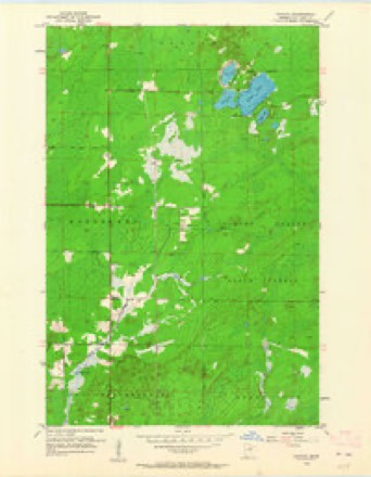
10 topographic sheets cover this place, the earliest surveyed in 1953 and the latest in 1977. It stands in Northland Township. It lies in ZIP code area 55717. The Survey maps it on the Canyon quadrangle.
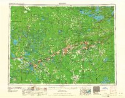
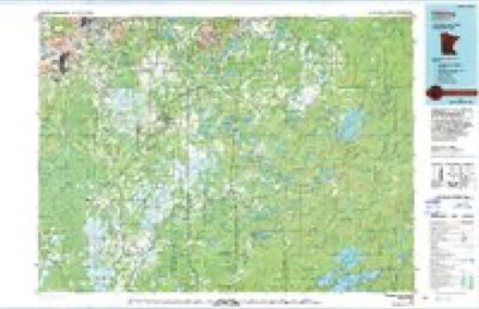
Topographic sheets covering this place
6 surveys from 10 printed sheetsMatched by testing this settlement's coordinate against the published boundary of every sheet in the United States Geological Survey's historical collection. Each opens the scanned sheet at the Survey.
- 1953 USGS Canyon quadrangle1:24000, 3 printings
- 1954 USGS Hibbing quadrangle1:250000, 3 printings
- 1957 USGS Hibbing quadrangle1:250000
- 1958 USGS Hibbing quadrangle1:250000
- 1964 USGS Hibbing quadrangle1:250000
- 1977 USGS Hibbing quadrangle1:100000
Fires near this place
35 since 1992Regional context, not property-specific evidence. The federal wildfire occurrence database lists 35 fires within 5 miles of Canyon between 1992 and 2018, burning about 104 acres in total. 2 started naturally. 4 were recorded as arson. Distance is straight-line from the map coordinates, so a fire counted here may appear on a neighbouring settlement's page as well.
| Reported cause | Fires |
|---|---|
| Equipment and vehicle use | 15 |
| Debris and open burning | 7 |
| Missing data/not specified/undetermined | 5 |
| Arson/incendiarism | 4 |
| Natural | 2 |
| Power generation/transmission/distribution | 1 |
| Smoking | 1 |
The most recent of them, most recent first, with the day each was reported and the service that recorded it.
| Date | Cause | Size | Reported by | Name on the report |
|---|---|---|---|---|
| 8 September 1998 | Equipment and vehicle use | under an acre | Minnesota Department of Natural Resources | not named |
| 5 August 2007 | Debris and open burning | 1.5 acres | Minnesota Department of Natural Resources | not named |
| 25 July 2006 | Natural | under an acre | Minnesota Department of Natural Resources | not named |
| 9 June 1996 | Debris and open burning | under an acre | Minnesota Department of Natural Resources | not named |
| 9 May 1992 | Equipment and vehicle use | 11 acres | Minnesota Department of Natural Resources | not named |
| 7 May 2003 | Debris and open burning | 12 acres | Minnesota Department of Natural Resources | not named |
| 4 May 2010 | Equipment and vehicle use | under an acre | Minnesota Department of Natural Resources | not named |
| 4 May 1999 | Equipment and vehicle use | 2.0 acres | Minnesota Department of Natural Resources | not named |
Settlements close enough to share some of these fires:
Storms near this place
7 since 1998Regional context, not property-specific evidence. The National Weather Service names Canyon in 7 storm reports between 1998 and 2024: 5 thunderstorm wind, 1 hail, 1 tornado. No death or injury is recorded in these reports. Each account below is quoted exactly as the forecast office filed it, from the NOAA Storm Events Database, and each date opens the federal record of that event.
| When | Event | Place named | Harm | What the report says |
|---|---|---|---|---|
| September 2024 | Tornado (EF1) | Canyon | $100,000 | A supercell thunderstorm formed halfway between Meadowlands and Canyon, MN, between 4:35 to 4:40 PM on Thursday, September 19, 2024. As the strong thunderstorm continued to show potential for producing a tornado, the National Weather Service office in Duluth, MN, issued a Severe Thunderstorm Warning at 4:44 PM for this storm. The strong storm moved eastward over unpopulated marshes immediately north of Lake Nichols Road about 4 miles north-northwest of Canyon, MN, by 5:00 PM. Meteorologists at the National Weather Service issued a Tornado Warning for this storm at 4:55 PM as early signs of tornadic development appeared on radar, and a short time later a tornado was confirmed by trained spotters and law enforcement. Visible tree damage from the tornado, estimated to have begun at 5:05 PM CDT, was first observed on the west side of US Highway 53 about 4.5 miles south of Cotton, MN, with pine trees snapped at the base. The tornado continued to move northeastward to uproot trees along Three Lakes Road about one-half mile east of the U.S. Highway 53 intersection. The storm began to move more north-northeastward so the tornado track shifted more northward with the most widespread surveyed damage seen along Bug Creek Road about 2.5 miles east-southeast of Cotton, MN. Over 50 pine trees and numerous clusters of aspen trees were observed to be snapped at the base and/or uprooted, estimated to have occurred at around 5:15 PM. A few still-standing pine trees had metal sheets lofted and wrapped around them. Minor to moderate structure damage was reported by two property owners along Bug Creek Road before the tornado passed northward over the Whiteface River. Towards 5:18 PM, the tornado began to weaken and finally lifted off the ground. The last uprooted trees, 4 aspen, were last observed at the intersection of Comstock Lake Road and Melrude Road, 2.7 miles east of Cotton, MN. In total, the tornado was on the ground for a total of 5.9 miles and for around 13 minutes. The damage rating from the NWS Duluth Storm Survey team resulted in an EF-1 rating with winds estimated at 105 mph. There were a total of two Tornado Warning in effect from 4:55 PM to 5:45 PM for this tornadic supercell thunderstorm. |
| June 2022 | Thunderstorm Wind | Canyon | - | Four Norway pines were downed with one of them completely uprooted. |
| July 2017 | Thunderstorm Wind | Canyon | - | Several large trees were blown down. |
| July 2016 | Thunderstorm Wind | Canyon | - | There were a lot of large trees blown down along Highway 53 south of Canyon. |
| August 2003 | Thunderstorm Wind | Canyon | - | Large branches were blown down. |
| July 1999 | Thunderstorm Wind | Canyon | - | no account filed |
| June 1998 | Hail | Canyon | - | no account filed |
Nearest settlements
The eight closest, with where each one stands in the county. Distances are straight-line, computed from the Geographic Names Information System coordinates.
| Map | Place | Distance | Sheets |
|---|---|---|---|
| Independence | 5.7 miles | 10 | |
| Birch | 6.4 miles | 10 | |
| Baden | 6.6 miles | 10 | |
| Alborn | 7.2 miles | 7 | |
| Coleraine Junction | 7.4 miles | 7 | |
| Payne | 7.8 miles | 10 | |
| Taft | 8.0 miles | 10 | |
| Shaw | 8.0 miles | 11 |
Provenance
This settlement is recorded in the Geographic Names Information System as feature 660955. The sheet list is computed by point-in-boundary test against the United States Geological Survey's historical topographic inventory. Both are works of the United States government and carry no copyright under 17 U.S.C. 105.
Wildfire. Short, Karen C. 2022. Spatial wildfire occurrence data for the United States, 1992-2020 [FPA_FOD_20221014]. 6th Edition. Fort Collins, CO: Forest Service Research Data Archive. https://doi.org/10.2737/RDS-2013-0009.6 Collected with United States Government funding and usable without additional permissions or fees.
Storms. NOAA National Centers for Environmental Information, Storm Events Database https://www.ncei.noaa.gov/stormevents/ A work of the United States government, no copyright under 17 U.S.C. 105. Narratives are quoted verbatim from the National Weather Service report and are not edited or summarised.