 Block
Charlesville, Minnesota
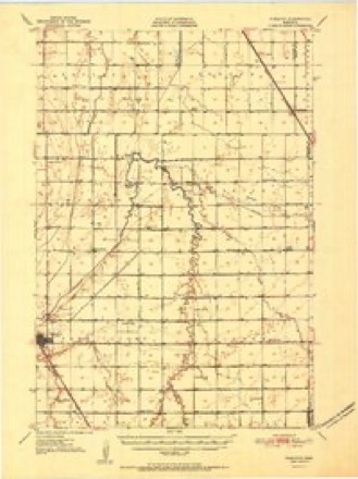
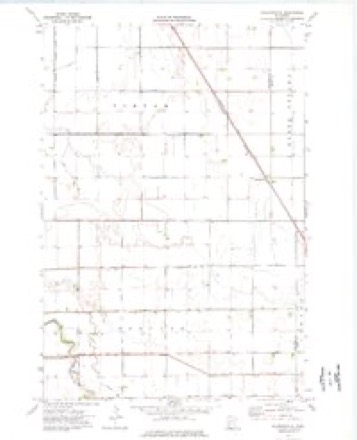
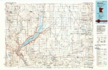
9 topographic sheets cover this place, the earliest surveyed in 1951 and the latest in 1985. It stands in Tintah Township. It lies in ZIP code area 56583. The Survey maps it on the Charlesville quadrangle. It stands 1,014 feet above sea level.
Topographic sheets covering this place
5 surveys from 9 printed sheetsMatched by testing this settlement's coordinate against the published boundary of every sheet in the United States Geological Survey's historical collection. Each opens the scanned sheet at the Survey.
- 1951 USGS Wheaton quadrangle1:62500, 2 printings
- 1953 USGS Milbank quadrangle1:250000, 3 printings
- 1958 USGS Milbank quadrangle1:250000
- 1974 USGS Charlesville quadrangle1:24000
- 1985 USGS Wheaton quadrangle1:100000, 2 printings
Storms near this place
8 since 2007Regional context, not property-specific evidence. The National Weather Service names Charlesville in 8 storm reports between 2007 and 2023: 3 tornado, 2 hail, 2 flood, 1 thunderstorm wind. No death or injury is recorded in these reports. Each account below is quoted exactly as the forecast office filed it, from the NOAA Storm Events Database, and each date opens the federal record of that event.
| When | Event | Place named | Harm | What the report says |
|---|---|---|---|---|
| April 2023 | Flood | Charlesville | - | Twelve Mile Creek above Wheaton crested above moderate flood stage at 19.4 feet on the afternoon of April 15th. Waters were high enough to flood portions of 670th Street, however the main impact was flooding of agricultural lands. |
| May 2022 | Tornado (EF0) | Charlesville | - | A tornado developed 11 miles east of Wheaton along the leading|edge of a line severe thunderstorms. This tornado traveled|rapidly north-northeastward and impacted three farmsteads.|Several trees were uprooted and felled in different directions,|outbuildings were severely damaged, and both homes were damaged|as well including the partial removal of a garage roof. The|tornado continued northeast to right near the Grant County line,|and impacted another farmstead. Silo damage, trees felled in|different directions, and a small outbuilding was moved 10 yards|to the northwest. |
| October 2013 | Tornado (EF1) | Charlesville | - | A low topped thunderstorm tracked from south to north across central and east central Traverse county producing a brief tornado touchdown. The tornado touched down in a soybean field and tracked from south to northwest for about a half mile with a maximum path width of 70 yards. The tornado struck a grove of tall pine trees with most of them uprooted and then moved near a residence causing damage to the siding and roof damage. Three other large pine trees were twisted at their bases and fell into the home damaging the side of the house and breaking a window. The tornado hit a farm building lifting it off of its concrete foundation and twisting it to the northwest with all four walls destroyed. An electric pole was also downed and fell onto two pickup trucks breaking the window on one of them. The tornado then tracked to the northwest where it downed several more large trees. The tornado also took a large piece of tin from the outbuilding and stuck it eight inches deep into the ground. The tornado then tracked into a corn field and dissipated. |
| June 2012 | Tornado (EF0) | Charlesville | - | Brief touchdown in a field. |
| April 2019 | Flood | Charlesville | - | no account filed |
| September 2019 | Thunderstorm Wind | Charlesville | - | no account filed |
| July 2008 | Hail | Charlesville | - | no account filed |
| September 2007 | Hail | Charlesville | - | no account filed |
Nearest settlements
The eight closest, with where each one stands in the county. Distances are straight-line, computed from the Geographic Names Information System coordinates.
Elsewhere
Matched on this settlement's Geographic Names Information System number rather than its name, so it cannot be a different place of the same name in another state.
| Wikipedia article on Charlesville | An encyclopaedic summary. Its text is share-alike, so it is linked here rather than copied. |
| Wikidata item Q28131868 | The structured record the population and elevation above come from. Public domain (CC0). |
Provenance
This settlement is recorded in the Geographic Names Information System as feature 654641. The sheet list is computed by point-in-boundary test against the United States Geological Survey's historical topographic inventory. Both are works of the United States government and carry no copyright under 17 U.S.C. 105.
Storms. NOAA National Centers for Environmental Information, Storm Events Database https://www.ncei.noaa.gov/stormevents/ A work of the United States government, no copyright under 17 U.S.C. 105. Narratives are quoted verbatim from the National Weather Service report and are not edited or summarised.