 Block
Chokio, Minnesota
9 topographic sheets cover this place, the earliest surveyed in 1910 and the latest in 1985. It stands in Baker Township. It lies in ZIP code area 56221. It lies near Clark Lakebed. The Survey maps it on the Chokio quadrangle. 405 people lived here at the 2020 count. It stands 1,125 feet above sea level.
Population over time
2 figuresChokio grew from 400 to 405 between 2010 and 2020. These are the recorded population figures Wikidata holds for this place, reached through the Geographic Names Information System number this page is keyed on rather than by name, so they belong to this place and not to another of the same name. Most are census counts, but not all are: an early figure may be a founding or settlement estimate, and an estimate published within five years of a census is left out. The change column is computed, and is left blank where more than 20 years separate a figure from the one before it, because a gap that long is not a change between two counts.
| Year | People | Change |
|---|---|---|
| 2010 | 400 | |
| 2020 | 405 | +5 (+1%) |
Topographic sheets covering this place
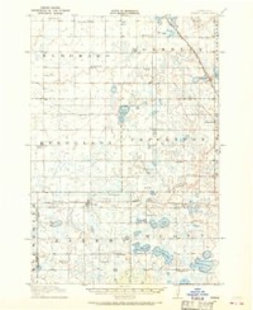
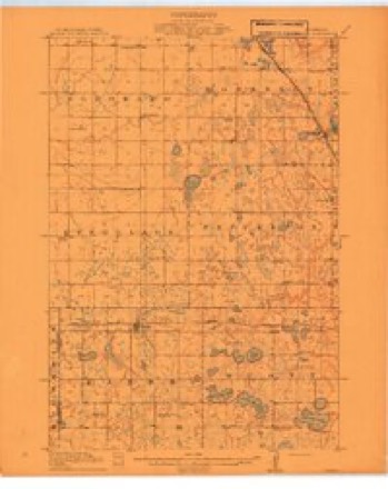
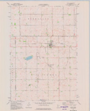
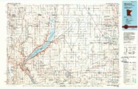
6 surveys from 9 printed sheetsMatched by testing this settlement's coordinate against the published boundary of every sheet in the United States Geological Survey's historical collection. Each opens the scanned sheet at the Survey.
- 1910 USGS Chokio quadrangle1:62500
- 1912 USGS Chokio quadrangle1:62500
- 1953 USGS Milbank quadrangle1:250000, 3 printings
- 1958 USGS Milbank quadrangle1:250000
- 1973 USGS Chokio quadrangle1:24000
- 1985 USGS Wheaton quadrangle1:100000, 2 printings
Storms near this place
54 since 1994Regional context, not property-specific evidence. The National Weather Service names Chokio in 54 storm reports between 1994 and 2025: 30 hail, 18 thunderstorm wind, 3 tornado, 1 funnel cloud. No death or injury is recorded in these reports. Each account below is quoted exactly as the forecast office filed it, from the NOAA Storm Events Database, and each date opens the federal record of that event.
| When | Event | Place named | Harm | What the report says |
|---|---|---|---|---|
| May 2022 | Thunderstorm Wind | Chokio | $250,000 | Significant infrastructure was either damaged or destroyed in the city of Chokio. This included power poles and trees snapped at their base. Some of the trees landed on houses. |
| July 2019 | Hail | Chokio | $100,000 | A swath of large hail, up to golf ball size, occurred from northwest of Chokio, to Donnelly. There were reports of larger hail, but no pictures were available. Damage occurred to vehicles, buildings (siding, rain gutters & shingles), and crops. |
| July 2020 | Thunderstorm Wind | Chokio | $50,000 | A swath of wind damage extended 3/4 of a mile to the southeast of Chokio, including parts of Chokio. The damage area was about 1/4 of a mile wide, with many trees snapped off just above the base, while others were uprooted. A light tower of a local baseball field was blown over. |
| July 2002 | Thunderstorm Wind | Chokio | $50,000 | Ten mile long path of wind damage. Numerous trees down, one on a van. Silos, several sheds, and grain bins down. Maximum wind gust of 78 knots measured at Morris Airport. |
| May 2022 | Thunderstorm Wind | Chokio | $5,000 | Power lines were blown down west of Chokio. |
| May 2011 | Thunderstorm Wind | Chokio | $500 | Minor damage occurred to a machine shed door as winds gusted to 60 mph. |
| July 2025 | Flash Flood | Chokio | - | A period of training thunderstorms produced heavy rainfall that quickly accumulated water up to a foot and a half deep over roadways in Chokio. |
| July 2025 | Thunderstorm Wind | Chokio | - | Power poles down in Chokio. |
| July 2024 | Hail | Chokio | - | The hail was placed next to a quarter and photographed. |
| July 2024 | Thunderstorm Wind | Chokio | - | A few tree branches up to 4 inches in diameter were down. |
| July 2024 | Hail | Chokio | - | A hailstone measuring six inches in diameter was reported by a resident to emergency management. The hail next to a ruler were photographed. This at least tied the record for the largest hailstone in Minnesota. Storm Data records also indicate six inch diameter hail in Nobles County on July 28, 1986, and in Murray County on July 4, 1968. The hail was collected about 13 to 15 minutes after the hail ended but was not saved in a freezer. |
| July 2024 | Hail | Chokio | - | A hailstone measuring six inches in diameter was reported by a resident to emergency management. The hail and ruler were photographed. |
| June 2024 | Hail | Chokio | - | There were several reports of dime to nickel sized hail in southwest Stevens County. |
| June 2023 | Heavy Rain | Chokio | - | A trained spotter measured 5.00 inches of rain in Chokio MN, which caused some ponding of water. |
| July 2023 | Thunderstorm Wind | Chokio | - | Several trees and branches of 6 to 10 inches were reported down in the city of Chokio. |
| May 2022 | Thunderstorm Wind | Chokio | - | Several trees were blown down north of Chokio. |
| June 2016 | Thunderstorm Wind | Chokio | - | A few trees were toppled north of Chokio. |
| June 2016 | Thunderstorm Wind | Chokio | - | A large tree fell down east of Chokio that took down power lines. |
| July 2015 | Thunderstorm Wind | Chokio | - | There were several reports of downed power lines and trees around the Chokio and Alberta area. |
| May 2014 | Hail | Chokio | - | Baseball size hail was reported near the intersection of County Roads 56 and 62. |
| June 2013 | Thunderstorm Wind | Chokio | - | Several rows of apple trees were blown down. |
| August 2013 | Tornado (EF0) | Chokio | - | Two different photographers took pictures of a tornado northeast of Chokio. One dairy farmer reported that the door to the milk house was blown off along with other minor damage. It was on the ground for only about 30 seconds. |
| April 2012 | Tornado (EF0) | Chokio | - | A tornado touchdown briefly approximately 3 miles northwest of Chokio, Minnesota. The report is based on a storm chaser's photo. No damage occurred and the tornado lifted quickly. |
| July 2003 | Thunderstorm Wind | Chokio | - | Several trees toppled. |
| July 2003 | Tornado (F0) | Chokio | - | Tornado tore across open fields and a few groves of trees, then dissipated just before entering the city of Chokio. |
| July 2002 | Thunderstorm Wind | Chokio | - | Damage to trees, sheds, grain bins, and crops. |
| October 1997 | Thunderstorm Wind | Chokio | - | Farm equipment blown over. Estimated windspeed. |
| July 1994 | Hail | Chokio | - | Several hundred acres of crops were damaged by large hail around Chokio. |
| July 2025 | Hail | Chokio | - | no account filed |
| May 2022 | Thunderstorm Wind | Chokio | - | no account filed |
| June 2016 | Funnel Cloud | Chokio | - | no account filed |
| July 2016 | Hail | Chokio | - | no account filed |
| June 2015 | Hail | Chokio | - | no account filed |
| June 2013 | Hail | Chokio | - | no account filed |
| June 2013 | Hail | Chokio | - | no account filed |
| June 2013 | Hail | Chokio | - | no account filed |
| April 2012 | Hail | Chokio | - | no account filed |
| May 2012 | Hail | Chokio | - | no account filed |
| July 2009 | Hail | Chokio | - | no account filed |
| June 2006 | Hail | Chokio | - | no account filed |
| July 2006 | Hail | Chokio | - | no account filed |
| June 2005 | Hail | Chokio | - | no account filed |
| May 2004 | Hail | Chokio | - | no account filed |
| May 2004 | Hail | Chokio | - | no account filed |
| July 2003 | Hail | Chokio | - | no account filed |
| June 2003 | Hail | Chokio | - | no account filed |
| June 2003 | Hail | Chokio | - | no account filed |
| June 2003 | Hail | Chokio | - | no account filed |
| April 2002 | Hail | Chokio | - | no account filed |
| August 2001 | Hail | Chokio | - | no account filed |
| August 2001 | Hail | Chokio | - | no account filed |
| August 2001 | Hail | Chokio | - | no account filed |
| June 1998 | Hail | Chokio | - | no account filed |
| July 1996 | Thunderstorm Wind | Chokio | - | no account filed |
Nearest settlements
The eight closest, with where each one stands in the county. Distances are straight-line, computed from the Geographic Names Information System coordinates.
Elsewhere
Matched on this settlement's Geographic Names Information System number rather than its name, so it cannot be a different place of the same name in another state.
| Wikipedia article on Chokio | An encyclopaedic summary. Its text is share-alike, so it is linked here rather than copied. |
| Wikidata item Q2230302 | The structured record the population and elevation above come from. Public domain (CC0). |
Provenance
This settlement is recorded in the Geographic Names Information System as feature 641177. The sheet list is computed by point-in-boundary test against the United States Geological Survey's historical topographic inventory. Both are works of the United States government and carry no copyright under 17 U.S.C. 105.
Storms. NOAA National Centers for Environmental Information, Storm Events Database https://www.ncei.noaa.gov/stormevents/ A work of the United States government, no copyright under 17 U.S.C. 105. Narratives are quoted verbatim from the National Weather Service report and are not edited or summarised.