 Block
Evergreen, Minnesota
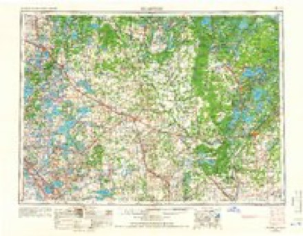
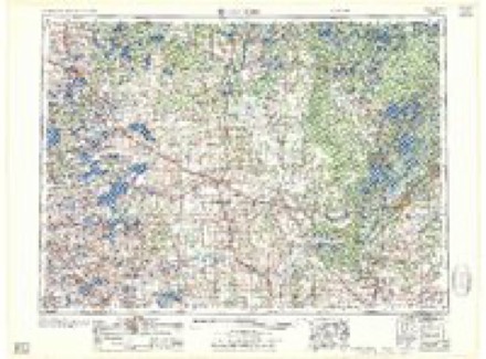
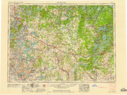
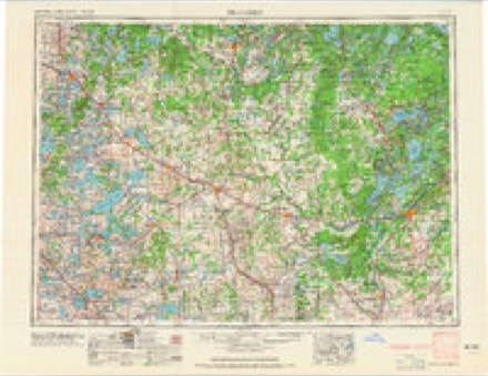
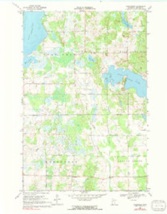
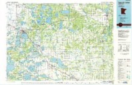
10 topographic sheets cover this place, the earliest surveyed in 1953 and the latest in 1986. It stands in Evergreen Township. It lies in ZIP code area 56544. The Survey maps it on the Evergreen quadrangle.
Topographic sheets covering this place
6 surveys from 10 printed sheetsMatched by testing this settlement's coordinate against the published boundary of every sheet in the United States Geological Survey's historical collection. Each opens the scanned sheet at the Survey.
- 1953 USGS Brainerd quadrangle1:250000, 3 printings
- 1957 USGS Brainerd quadrangle1:250000
- 1958 USGS Brainerd quadrangle1:250000
- 1965 USGS Brainerd quadrangle1:250000
- 1969 USGS Evergreen quadrangle1:24000, 2 printings
- 1986 USGS Detroit Lakes quadrangle1:100000, 2 printings
In the county-history sources
1,055 words on this townshipA Pioneer History of Becker County, Minnesota, Including a Brief Account of Its Natural History ... and a History of the Early Settlement of the County; Also, Including ... Historical Information Collected by Mrs. Jessie C. West. And Numerous Articles Written by Various Early Pioneers Relating to the History of the Several Townships of Becker County, published 1907 names this settlement in its chapter on Evergreen Township. These are the passages that mention it, exactly as the scans read.
During the years 1886 and 1887 about twenty families settled in the township. On Januar}- 4, 1888, the board of county commissioners organized the township, naming it Evergreen because of the number of evergreen trees in it. The first town meeting was held at the home of Emil Materne on Section 20, March 13, 1888. ^^^ R. Morton was chosen moderator ; Emil ]\Iaterne, clerk ; W. R. Morton, John Pick and Chas. Howard were elected supervisors ; W. A. Kennedy, clerk ; J. W. Southard, assessor ; John Miller, constable; and Sargent Palmer, justice of the peace.
Ill 1 901, Woodland post-office was moved from Corliss Township in Otter Tail County to Section 28 in Evergreen, and two years later a German Lutheran church was Iniilt on Section 17. In the township there are now a post-office, a church and four schoolhouses. Hattie Howard was the first school teacher in Evergreen, teaching in a log schoolhouse on Section 14. which was hurned at the time of the big Hinckley fire. During this fire the whole township burned over, clearing whole areas. Settlers took advantage of the easy clearing and moved in freely, and now there are about eighty voters in the township. While much damage resulted from the fire in the burning of timber, the benefit in clearing the land largely compensated for the loss.
Machine-read from a century-old scan, so expect the errors a machine makes: misspelled names, dropped words, stray characters.
Read the whole chapter on Evergreen Township - it names this place 1 more 1 time.
Fires near this place
48 since 1992Regional context, not property-specific evidence. The federal wildfire occurrence database lists 48 fires within 5 miles of Evergreen between 1992 and 2020, burning about 290 acres in total. 1 started naturally. 13 were recorded as arson. Distance is straight-line from the map coordinates, so a fire counted here may appear on a neighbouring settlement's page as well.
| Reported cause | Fires |
|---|---|
| Debris and open burning | 18 |
| Arson/incendiarism | 13 |
| Missing data/not specified/undetermined | 8 |
| Equipment and vehicle use | 4 |
| Smoking | 2 |
| Power generation/transmission/distribution | 1 |
| Natural | 1 |
| Recreation and ceremony | 1 |
The most recent of them, most recent first, with the day each was reported and the service that recorded it.
| Date | Cause | Size | Reported by | Name on the report |
|---|---|---|---|---|
| 12 September 2012 | Missing data/not specified/undetermined | under an acre | Minnesota Department of Natural Resources | not named |
| 22 August 2003 | Natural | 3.5 acres | Minnesota Department of Natural Resources | not named |
| 17 August 2007 | Equipment and vehicle use | under an acre | Minnesota Department of Natural Resources | not named |
| 6 May 2013 | Debris and open burning | 4.0 acres | Minnesota Department of Natural Resources | not named |
| 6 May 1992 | Debris and open burning | 4.0 acres | Minnesota Department of Natural Resources | not named |
| 5 May 2017 | Power generation/transmission/distribution | under an acre | Minnesota Department of Natural Resources | not named |
| 26 May 2002 | Missing data/not specified/undetermined | 5.0 acres | Minnesota Department of Natural Resources | not named |
| 16 May 2008 | Arson/incendiarism | 3.3 acres | Minnesota Department of Natural Resources | not named |
Settlements close enough to share some of these fires:
Storms near this place
16 since 1998Regional context, not property-specific evidence. The National Weather Service names Evergreen in 16 storm reports between 1998 and 2023: 14 hail, 1 flash flood, 1 thunderstorm wind. No death or injury is recorded in these reports. Each account below is quoted exactly as the forecast office filed it, from the NOAA Storm Events Database, and each date opens the federal record of that event.
| When | Event | Place named | Harm | What the report says |
|---|---|---|---|---|
| May 2022 | Thunderstorm Wind | Evergreen | $50,000 | Metal roofing and side panels were blown off a pole-shed with metal sheets strewn about and wrapped around trees near the intersection of State Highway 87 and CR43. Numerous poplar trees were snapped or uprooted across Spruce Grove and Runeberg Townships. Time estimated based on radar and public reports. |
| July 2011 | Flash Flood | Evergreen | $2,000 | Heavy rainfall of two to five inches on top of previously saturated soils produced extensive runoff into the Redeye River drainage. Localized flooding occurred near the river in eastern Evergreen and western Spruce Grove townships. |
| July 2023 | Hail | Evergreen | - | CO-OP Observer 12 E Detroit Lakes reports half-dollar sized hail. |
| August 2020 | Hail | Evergreen | - | The hail was accompanied by heavy rain. |
| August 2019 | Hail | Evergreen | - | Dime to quarter sized hail fell. |
| July 2017 | Hail | Evergreen | - | There may have been some stones even larger, but it was getting dark. |
| August 2015 | Hail | Evergreen | - | The power was also knocked out. |
| July 2012 | Hail | Evergreen | - | no account filed |
| June 2008 | Hail | Evergreen | - | no account filed |
| June 2008 | Hail | Evergreen | - | no account filed |
| July 2008 | Hail | Evergreen | - | no account filed |
| August 2002 | Hail | Evergreen | - | no account filed |
| July 2000 | Hail | Evergreen | - | no account filed |
| July 2000 | Hail | Evergreen | - | no account filed |
| August 1998 | Hail | Evergreen | - | no account filed |
| August 1998 | Hail | Evergreen | - | no account filed |
Nearest settlements
The eight closest, with where each one stands in the county. Distances are straight-line, computed from the Geographic Names Information System coordinates.
Provenance
This settlement is recorded in the Geographic Names Information System as feature 654700. The sheet list is computed by point-in-boundary test against the United States Geological Survey's historical topographic inventory. Both are works of the United States government and carry no copyright under 17 U.S.C. 105.
Wildfire. Short, Karen C. 2022. Spatial wildfire occurrence data for the United States, 1992-2020 [FPA_FOD_20221014]. 6th Edition. Fort Collins, CO: Forest Service Research Data Archive. https://doi.org/10.2737/RDS-2013-0009.6 Collected with United States Government funding and usable without additional permissions or fees.
Storms. NOAA National Centers for Environmental Information, Storm Events Database https://www.ncei.noaa.gov/stormevents/ A work of the United States government, no copyright under 17 U.S.C. 105. Narratives are quoted verbatim from the National Weather Service report and are not edited or summarised.