 Block
Osage, Minnesota
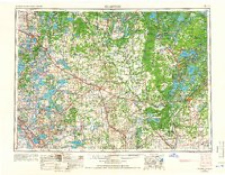
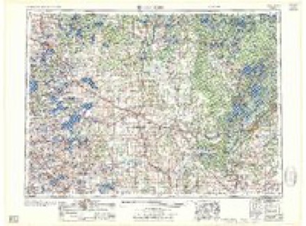
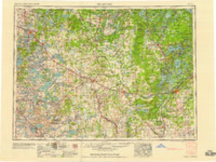
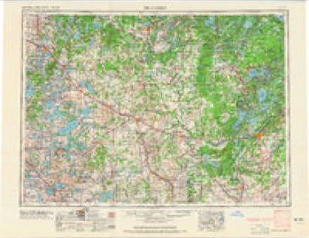
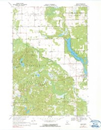
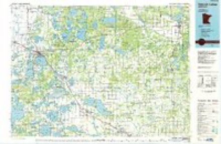
10 topographic sheets cover this place, the earliest surveyed in 1953 and the latest in 1986. It stands in Osage Township. It lies in ZIP code area 56570. The Survey maps it on the Osage quadrangle.
Topographic sheets covering this place
6 surveys from 10 printed sheetsMatched by testing this settlement's coordinate against the published boundary of every sheet in the United States Geological Survey's historical collection. Each opens the scanned sheet at the Survey.
- 1953 USGS Brainerd quadrangle1:250000, 3 printings
- 1957 USGS Brainerd quadrangle1:250000
- 1958 USGS Brainerd quadrangle1:250000
- 1965 USGS Brainerd quadrangle1:250000
- 1969 USGS Osage quadrangle1:24000, 2 printings
- 1986 USGS Detroit Lakes quadrangle1:100000, 2 printings
In the county-history sources
3,004 words on this townshipA Pioneer History of Becker County, Minnesota, Including a Brief Account of Its Natural History ... and a History of the Early Settlement of the County; Also, Including ... Historical Information Collected by Mrs. Jessie C. West. And Numerous Articles Written by Various Early Pioneers Relating to the History of the Several Townships of Becker County, published 1907 names this settlement in its chapter on Osage Township. These are the passages that mention it, exactly as the scans read.
Osag-e, the name chosen, was taken from Osage, Iowa, which was conjured from O. Sage, a wealthy New Yorker, who afterwards gave his namesake a vaUiable library, and we are sorry that he did not serve us likewise.
Osage had quite a boom in 1881-2 but it practically stood still for ten years. Then prospects of a railroad appeared upon the horizon only to vanish in the early nineties. Then it began to retrograde for another decade, but in 1901 McKinley's store was consumed by fire, together with nearly all the buildings on the north side of the street. Osage had to rebuild and since that time has had a steady growth. In 1904 Henry AA'ay built a fine residence and ]\Ir. Burlingame also completed another modern building.
During the winter of 1903,- while the Legislature was in session, E. D. Sylvester requested Senator Peterson for an appropriation of $600 for a bridge at Osage. Senator Peterson and representative Hawley took the matter in hand ; l)ut when the Legislature cut the appropriation bill in two, the allo\\ance became $300. Now we have a substantial bridge of stone abutments.
Machine-read from a century-old scan, so expect the errors a machine makes: misspelled names, dropped words, stray characters.
Read the whole chapter on Osage Township - it names this place 7 more 7 times.
Fires near this place
69 since 1992Regional context, not property-specific evidence. The federal wildfire occurrence database lists 69 fires within 5 miles of Osage between 1992 and 2017, burning about 317 acres in total. 1 started naturally. 19 were recorded as arson. Distance is straight-line from the map coordinates, so a fire counted here may appear on a neighbouring settlement's page as well.
| Reported cause | Fires |
|---|---|
| Debris and open burning | 20 |
| Arson/incendiarism | 19 |
| Equipment and vehicle use | 13 |
| Missing data/not specified/undetermined | 9 |
| Recreation and ceremony | 4 |
| Power generation/transmission/distribution | 3 |
| Natural | 1 |
The most recent of them, most recent first, with the day each was reported and the service that recorded it.
| Date | Cause | Size | Reported by | Name on the report |
|---|---|---|---|---|
| 3 September 2013 | Power generation/transmission/distribution | 35 acres | Minnesota Department of Natural Resources | not named |
| 7 August 2005 | Equipment and vehicle use | under an acre | Minnesota Department of Natural Resources | not named |
| 31 July 2006 | Missing data/not specified/undetermined | under an acre | Minnesota Department of Natural Resources | not named |
| 23 July 1992 | Equipment and vehicle use | 2.0 acres | Minnesota Department of Natural Resources | not named |
| 30 June 2004 | Debris and open burning | under an acre | Minnesota Department of Natural Resources | not named |
| 23 June 2006 | Natural | 1.5 acres | Minnesota Department of Natural Resources | not named |
| 19 June 2013 | Debris and open burning | 2.0 acres | Minnesota Department of Natural Resources | not named |
| 18 June 2010 | Power generation/transmission/distribution | 9.0 acres | Minnesota Department of Natural Resources | not named |
Settlements close enough to share some of these fires:
Storms near this place
21 since 1998Regional context, not property-specific evidence. The National Weather Service names Osage in 21 storm reports between 1998 and 2022: 13 hail, 5 thunderstorm wind, 1 flash flood, 1 tornado. No death or injury is recorded in these reports. Each account below is quoted exactly as the forecast office filed it, from the NOAA Storm Events Database, and each date opens the federal record of that event.
| When | Event | Place named | Harm | What the report says |
|---|---|---|---|---|
| July 2008 | Thunderstorm Wind | Osage | $500,000 | A two stall garage was demolished and the contents strewn downwind due to downburst winds. Nearby roofs received shingle or roofing damage and numerous trees were snapped or toppled over from northeast Carsonville into northern Osage Township. |
| June 2022 | Thunderstorm Wind | Osage | - | Peak wind measured at the RWIS station in Osage on Hwy 34. |
| July 2022 | Hail | Osage | - | Received a public report of 1.5 inch hail, relayed by a broadcast media partner. |
| August 2020 | Funnel Cloud | Osage | - | A persistent funnel cloud was reported. |
| July 2020 | Thunderstorm Wind | Osage | - | Trees were blown down onto highway 34. |
| September 2017 | Hail | Osage | - | Nickel to quarter sized hail fell. |
| August 2011 | Thunderstorm Wind | Osage | - | A few large 6 to 8 inch diameter tree limbs were blown down and a part of a corn field was flattened. |
| June 2005 | Tornado (F0) | Osage | - | The tornado continued into Hubbard county. |
| June 2002 | Flash Flood | Osage | - | Numerous county roads were washed out. |
| July 2020 | Hail | Osage | - | no account filed |
| September 2019 | Hail | Osage | - | no account filed |
| September 2017 | Hail | Osage | - | no account filed |
| August 2015 | Hail | Osage | - | no account filed |
| June 2015 | Hail | Osage | - | no account filed |
| July 2012 | Hail | Osage | - | no account filed |
| August 2008 | Hail | Osage | - | no account filed |
| June 2005 | Hail | Osage | - | no account filed |
| August 2001 | Hail | Osage | - | no account filed |
| August 2001 | Hail | Osage | - | no account filed |
| July 1999 | Thunderstorm Wind | Osage | - | no account filed |
| July 1998 | Hail | Osage | - | no account filed |
Nearest settlements
The eight closest, with where each one stands in the county. Distances are straight-line, computed from the Geographic Names Information System coordinates.
| Map | Place | Distance | Sheets |
|---|---|---|---|
| Ponsford | 7.6 miles | 10 | |
| Pine Point | 7.8 miles | 10 | |
| Snellman | 8.5 miles | 10 | |
| Two Inlets | 9.4 miles | 9 | |
| Wolf Lake | 9.5 miles | 9 | |
| Midway | 9.5 miles | 9 | |
| Goldenrod | 12.1 miles | 9 | |
| Evergreen | 15.1 miles | 10 |
Provenance
This settlement is recorded in the Geographic Names Information System as feature 649009. The sheet list is computed by point-in-boundary test against the United States Geological Survey's historical topographic inventory. Both are works of the United States government and carry no copyright under 17 U.S.C. 105.
Wildfire. Short, Karen C. 2022. Spatial wildfire occurrence data for the United States, 1992-2020 [FPA_FOD_20221014]. 6th Edition. Fort Collins, CO: Forest Service Research Data Archive. https://doi.org/10.2737/RDS-2013-0009.6 Collected with United States Government funding and usable without additional permissions or fees.
Storms. NOAA National Centers for Environmental Information, Storm Events Database https://www.ncei.noaa.gov/stormevents/ A work of the United States government, no copyright under 17 U.S.C. 105. Narratives are quoted verbatim from the National Weather Service report and are not edited or summarised.