 Block
French Lake, Minnesota
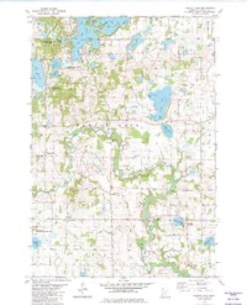
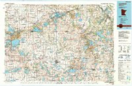
10 topographic sheets cover this place, the earliest surveyed in 1953 and the latest in 1986. It stands in French Lake Township. It lies in ZIP code area 55302. It stands on French Creek. The Survey maps it on the French Lake quadrangle. It stands 1,060 feet above sea level.
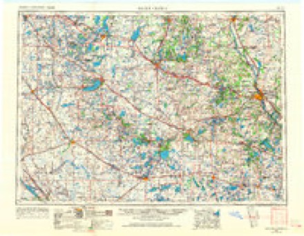
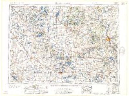
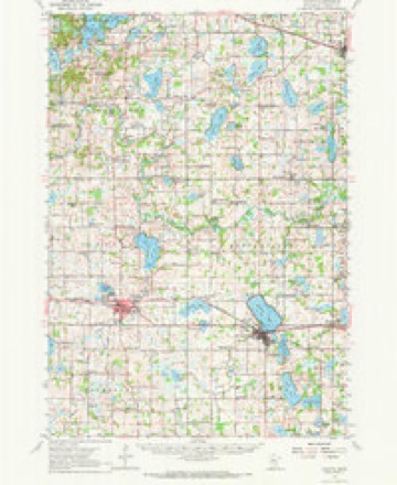
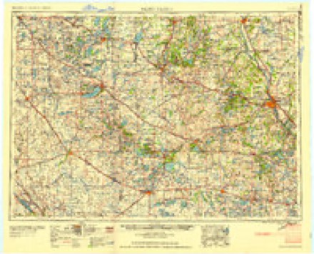
Topographic sheets covering this place
6 surveys from 10 printed sheetsMatched by testing this settlement's coordinate against the published boundary of every sheet in the United States Geological Survey's historical collection. Each opens the scanned sheet at the Survey.
- 1953 USGS Saint Cloud quadrangle1:250000, 3 printings
- 1957 USGS Saint Cloud quadrangle1:250000
- 1958 USGS Cokato quadrangle1:62500, 2 printings
- 1958 USGS Saint Cloud quadrangle1:250000
- 1982 USGS French Lake quadrangle1:24000
- 1986 USGS Litchfield quadrangle1:100000, 2 printings
In the county-history sources
1,383 words on this townshipHistory of Wright County, Minnesota Volume II, published 1915 names this settlement in its chapter on French Lake Township. These are the passages that mention it, exactly as the scans read.
French Lake is located in the northwestern part of the county and embraces township 120, range 28. It is bounded on the north by Southside, on the east by Albion, on the south by Cokato, and on the west by Meeker county. The township was originally all timber land, broken and hilly in the west and northwest, and rolling in the south and east. The town is watered by the winding course of the north fork of the Crow river, and by numerous lakes, among the largest of which are Hutehins and French lakes.
Passage source: History of Wright County, Minnesota Volume II, published 1915.
The first actual settler in French Lake was Ernest Howard. Born in Belgium, he came to the United States in the early fifties and located in Fond du bae, Wis. In 1856 he came to Minnesota. In the meantime, in the spring of that year, a territorial road had been cut through the Big Woods aeross French Lake township from Monticello to Forest City, located in Meeker county on the Big Prairie. Over this road many pioneers traveled through French Lake looking for prairie lands to the west. Mr. Howard was one of those who started out to follow this road. Hiring a team at Monticello, he loaded his goods onto a wagon, and with his family started out for Forest City, October 10, 1856. Toward evening they reached section 15, French Lake township. The wagon there broke down, and the released horses started back to Monticello, leaving the family in the wilderness, without shelter and with very little food. The next day a snow storm set in. It was evident that the rescue party which they expected would set ont from Monticello as soon as the horses arrived there was not to materialize. So Mr. Howard built a small log cabin for temporary shelter. Still no aid eame, so the family decided to stay there for the winter and to go on in the spring. But when spring came they were attached to the neighborhood and had made up their minds to remain, A son, John Howard, was the first white child born in the township. Being almost destitute at the time of settlement, the family had hard times and were in rather straightened circumstances for several years, but the advent of the ginseng buyers enabled them to pay for their land and to establish themselves comfortably on the place where their hired horses had unceremoniously dumped them.
Passage source: History of Wright County, Minnesota Volume II, published 1915.
When the county commissioners created Albion, April 6, 1858, it embraced the present towns of Albion and French Lake. The first election was held May 11, 1858. On June 9, 1865, on petition of about thirty legal voters, township 120, range 28, was set off and named French Lake. The first meeting was held on July 7, 1865, at the home of Mrs. Hannah O'Laughlin on seetion 14, and the following officers were elected: Supervisors, Michael O'Shea (chairman), Patrick Kennedy and Michael O'Laughlin; town clerk, M. L. O'Laughlin; treasurer, Michael O'Laughlin; justices of the peace, M. C. O'Donahue and M. L. O'Laughlin.
Passage source: History of Wright County, Minnesota Volume II, published 1915.
Machine-read from a century-old scan, so expect the errors a machine makes: misspelled names, dropped words, stray characters.
Read the whole chapter on French Lake Township - it names this place 3 more 3 times.
Fires near this place
1 since 2001Regional context, not property-specific evidence. The federal wildfire occurrence database lists 1 fire within 5 miles of French Lake in 2001, burning about 20 acres in total. None started naturally. None was recorded as arson. Distance is straight-line from the map coordinates, so a fire counted here may appear on a neighbouring settlement's page as well.
| Reported cause | Fires |
|---|---|
| Missing data/not specified/undetermined | 1 |
The most recent of them, most recent first, with the day each was reported and the service that recorded it.
| Date | Cause | Size | Reported by | Name on the report |
|---|---|---|---|---|
| 27 October 2001 | Missing data/not specified/undetermined | 20 acres | Minnesota Department of Natural Resources | not named |
Settlements close enough to share some of these fires:
Mines and quarries near this place
4 within 5 milesRegional context, not property-specific evidence. The federal mineral resources record lists 4 workings within 5 miles of French Lake: 4 producers. All of them still produce. What was taken out: Sand and Gravel, Construction. Distance is straight-line from the map coordinates, so a quarry counted here may appear on a neighbouring settlement's page as well.
| Where | Site | Commodity | Status | Recorded |
|---|---|---|---|---|
| Anderson Pit and Mill | Sand and Gravel, Construction | Producer | ||
| Con Rock Pit and Mill | Sand and Gravel, Construction | Producer | ||
| Minnesota Rock Pit | Sand and Gravel, Construction | Producer | ||
| Rockite Schram Pit | Sand and Gravel, Construction | Producer |
Storms near this place
7 since 1997Regional context, not property-specific evidence. The National Weather Service names French Lake in 7 storm reports between 1997 and 2023: 3 hail, 2 heavy rain, 1 tornado, 1 thunderstorm wind. No death or injury is recorded in these reports. Each account below is quoted exactly as the forecast office filed it, from the NOAA Storm Events Database, and each date opens the federal record of that event.
| When | Event | Place named | Harm | What the report says |
|---|---|---|---|---|
| June 2007 | Hail | French Lake | $1,000,000 | A ten mile long and two mile wide swath of hail caused significant crop damage, broke windows, and dented siding and vehicles. At Mud Lake, 3 miles southeast of French Lake, the hail got progressively larger, reaching golf ball size just before it ended. |
| July 2023 | Thunderstorm Wind | French Lake | - | Public works relayed reports of multiple trees down in the French Lake township. |
| May 2016 | Heavy Rain | French Lake | - | A weather observer measured 3.62 inches of rainfall near French Lake. |
| July 2015 | Heavy Rain | French Lake | - | A private weather station rain gauge measured 4.24 inches of rainfall near French Lake. |
| June 1997 | Tornado (F0) | French Lake | - | Brief touchdown on northern bay of Lake Francis. Dock, boat and boat lift flipped into water. |
| June 2007 | Hail | French Lake | - | no account filed |
| June 1999 | Hail | French Lake | - | no account filed |
Nearest settlements
The eight closest, with where each one stands in the county. Distances are straight-line, computed from the Geographic Names Information System coordinates.
| Map | Place | Distance | Sheets |
|---|---|---|---|
| West Albion | 2.7 miles | 10 | |
| Knapp | 3.9 miles | 10 | |
| Annandale | 5.4 miles | 10 | |
| Albion Center | 6.1 miles | 10 | |
| Albright | 6.2 miles | 10 | |
| South Haven | 6.5 miles | 10 | |
| Cokato | 8.6 miles | 10 | |
| Smith Lake | 8.9 miles | 10 |
Elsewhere
Matched on this settlement's Geographic Names Information System number rather than its name, so it cannot be a different place of the same name in another state.
| Wikipedia article on French Lake | An encyclopaedic summary. Its text is share-alike, so it is linked here rather than copied. |
| Wikidata item Q18151243 | The structured record the population and elevation above come from. Public domain (CC0). |
Provenance
This settlement is recorded in the Geographic Names Information System as feature 643940. The sheet list is computed by point-in-boundary test against the United States Geological Survey's historical topographic inventory. Both are works of the United States government and carry no copyright under 17 U.S.C. 105.
Wildfire. Short, Karen C. 2022. Spatial wildfire occurrence data for the United States, 1992-2020 [FPA_FOD_20221014]. 6th Edition. Fort Collins, CO: Forest Service Research Data Archive. https://doi.org/10.2737/RDS-2013-0009.6 Collected with United States Government funding and usable without additional permissions or fees.
Mines and quarries. USGS Mineral Resources Data System (MRDS) https://mrdata.usgs.gov/mrds/ A work of the United States government, no copyright under 17 U.S.C. 105.
Storms. NOAA National Centers for Environmental Information, Storm Events Database https://www.ncei.noaa.gov/stormevents/ A work of the United States government, no copyright under 17 U.S.C. 105. Narratives are quoted verbatim from the National Weather Service report and are not edited or summarised.