 Block
Hovland, Minnesota
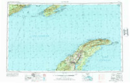
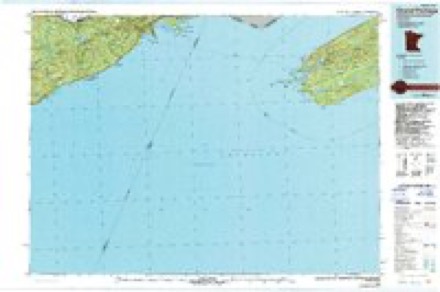
11 topographic sheets cover this place, the earliest surveyed in 1958 and the latest in 1985. It stands in the East Cook unorganized territory. It lies in ZIP code area 55604. It stands on Flute Reed River. The Survey maps it on the Hovland quadrangle.
Topographic sheets covering this place
6 surveys from 11 printed sheetsMatched by testing this settlement's coordinate against the published boundary of every sheet in the United States Geological Survey's historical collection. Each opens the scanned sheet at the Survey.
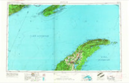
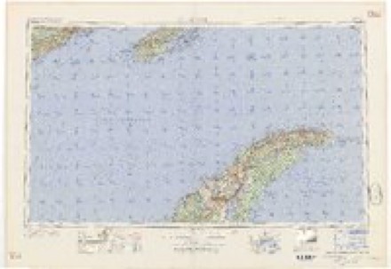
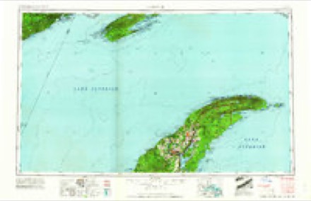
- 1958 USGS Hancock quadrangle1:250000, 2 printings
- 1960 USGS Hancock quadrangle1:250000
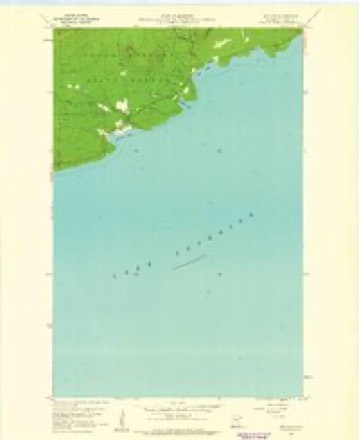
- 1960 USGS Hovland quadrangle1:24000, 4 printings
- 1961 USGS Hancock quadrangle1:250000
- 1966 USGS Hancock quadrangle1:250000
- 1985 USGS Grand Portage quadrangle1:100000, 2 printings
Fires near this place
12 since 1992Regional context, not property-specific evidence. The federal wildfire occurrence database lists 12 fires within 5 miles of Hovland between 1992 and 2020, burning about 2 acres in total. None started naturally. 3 were recorded as arson. Distance is straight-line from the map coordinates, so a fire counted here may appear on a neighbouring settlement's page as well.
| Reported cause | Fires |
|---|---|
| Debris and open burning | 5 |
| Arson/incendiarism | 3 |
| Recreation and ceremony | 2 |
| Power generation/transmission/distribution | 1 |
| Smoking | 1 |
The most recent of them, most recent first, with the day each was reported and the service that recorded it.
| Date | Cause | Size | Reported by | Name on the report |
|---|---|---|---|---|
| 21 August 1994 | Recreation and ceremony | under an acre | Minnesota Department of Natural Resources | not named |
| 21 July 2017 | Debris and open burning | under an acre | Minnesota Department of Natural Resources | not named |
| 5 June 2013 | Arson/incendiarism | under an acre | Minnesota Department of Natural Resources | not named |
| 11 June 1992 | Debris and open burning | under an acre | Minnesota Department of Natural Resources | not named |
| 8 May 2020 | Arson/incendiarism | under an acre | Minnesota Department of Natural Resources | JUDGE |
| 26 May 2000 | Debris and open burning | under an acre | Minnesota Department of Natural Resources | not named |
| 25 May 2008 | Arson/incendiarism | under an acre | Minnesota Department of Natural Resources | not named |
| 14 May 1996 | Debris and open burning | 1.0 acres | Minnesota Department of Natural Resources | not named |
Settlements close enough to share some of these fires:
Storms near this place
10 since 2008Regional context, not property-specific evidence. The National Weather Service names Hovland in 10 storm reports between 2008 and 2025: 5 flash flood, 2 hail, 2 thunderstorm wind, 1 tornado. No death or injury is recorded in these reports. Each account below is quoted exactly as the forecast office filed it, from the NOAA Storm Events Database, and each date opens the federal record of that event.
| When | Event | Place named | Harm | What the report says |
|---|---|---|---|---|
| June 2008 | Flash Flood | Hovland | $900,000 | no account filed |
| August 2025 | Flash Flood | Hovland | $10,000 | Fast moving water was running over County Road 14 and scouring out the road. |
| July 2025 | Flash Flood | Hovland | $10,000 | A culvert on Trout Lake Road (Forest Road 308) between Marsh Lake and Trout Lake was washed out leading to the closure of Forest Road 308 until repairs were able to be made. |
| May 2025 | Thunderstorm Wind | Hovland | - | Two large trees were down at the spotter's home. The spotter also recorded a gust of 74 mph during the storm from a personal weather station. |
| September 2023 | Thunderstorm Wind | Hovland | - | Multiple large trees were down and the power was out. |
| May 2022 | Flash Flood | Hovland | - | A photo was received showing Moose Valley Road flooded at Carlson Creek with water flowing over the road surface. A later report indicated the Cook County Highway Department closed the road at 6:30 AM CDT. |
| October 2021 | Tornado (EF2) | Hovland | - | A rare late-season strong tornado caused tree damage|across parts of the Boundary Waters Canoe Area Wilderness in |northern Cook County. The tornado appeared to begin on Alder Lake, |initially causing damage near Campsite #3 where a small swath of |trees were downed, several snapped halfway down their trunks. The |tornado then traveled north causing sporadic damage until just north |of Rocky Lake where there was a more concentrated area of downed |trees roughly 270 yards across. Sporadic tree damage continued until |reaching Clearwater Lake and crossing the lake just west of Campsite |#5, causing significant damage north of Clearwater Lake and north to |the International Border (Mountain Lake). Significant tree damage was|observed along the Border Route Trail, of which passage was made |impossible as the tornado reached its maximum width of around 500 |yards as it moved across the trail. Numerous trees were snapped near |their bases within this area of damage. The coverage of damage was |widespread with satellite imagery depicting over 80% of trees |uprooted, bent, or snapped across its path near the Border Route |Trail. The tornado then crossed the International Border and continued into Northwestern Ontario, Canada. No private property was damaged along the course of the tornado. ||The National Weather Service appreciates the public reports, photos,|and videos of this tornado damage, aerial photographs from the US |Forest Service, and satellite imagery shared by the Northern |Tornadoes Project (Western University in Canada) which all aided in |an accurate assessment of the damage. |
| October 2017 | Flash Flood | Hovland | - | Water was flowing over some roads while other roads were under water. |
| May 2022 | Hail | Hovland | - | no account filed |
| June 2021 | Hail | Hovland | - | no account filed |
Nearest settlements
The eight closest, with where each one stands in the county. Distances are straight-line, computed from the Geographic Names Information System coordinates.
| Map | Place | Distance | Sheets |
|---|---|---|---|
| Covill | 10.4 miles | 10 | |
| Red Rock | 13.6 miles | 10 | |
| Croftville | 16.9 miles | 9 | |
| Grand Portage | 17.5 miles | 10 | |
| Maple Hill | 17.8 miles | 9 | |
| Pigeon River | 18.3 miles | 9 | |
| Chippewa City | 18.3 miles | 9 | |
| Grand Marais | 20.1 miles | 9 |
Provenance
This settlement is recorded in the Geographic Names Information System as feature 656669. The sheet list is computed by point-in-boundary test against the United States Geological Survey's historical topographic inventory. Both are works of the United States government and carry no copyright under 17 U.S.C. 105.
Wildfire. Short, Karen C. 2022. Spatial wildfire occurrence data for the United States, 1992-2020 [FPA_FOD_20221014]. 6th Edition. Fort Collins, CO: Forest Service Research Data Archive. https://doi.org/10.2737/RDS-2013-0009.6 Collected with United States Government funding and usable without additional permissions or fees.
Storms. NOAA National Centers for Environmental Information, Storm Events Database https://www.ncei.noaa.gov/stormevents/ A work of the United States government, no copyright under 17 U.S.C. 105. Narratives are quoted verbatim from the National Weather Service report and are not edited or summarised.