 Block
Lake Park, Minnesota
7 topographic sheets cover this place, the earliest surveyed in 1953 and the latest in 1989. It stands in Lake Park City. It lies in ZIP code area 56554. The Survey maps it on the Lake Park quadrangle. 728 people lived here at the 2020 count. It stands 1,345 feet above sea level.
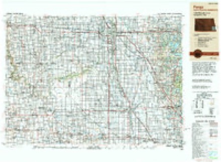
Topographic sheets covering this place
5 surveys from 7 printed sheetsMatched by testing this settlement's coordinate against the published boundary of every sheet in the United States Geological Survey's historical collection. Each opens the scanned sheet at the Survey.
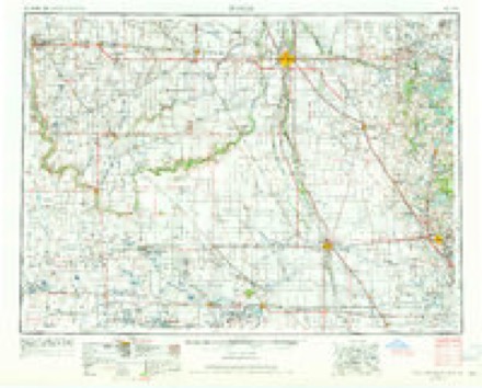
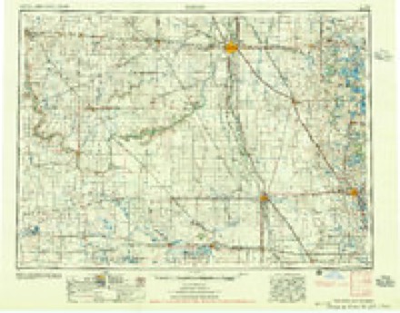
- 1953 USGS Fargo quadrangle1:250000, 2 printings
- 1956 USGS Fargo quadrangle1:250000
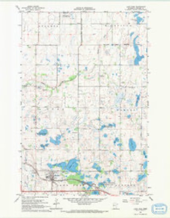
- 1966 USGS Lake Park quadrangle1:24000
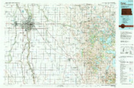
- 1985 USGS Fargo quadrangle1:100000, 2 printings
- 1989 USGS Fargo quadrangle1:250000
In the county-history sources
11,849 words on this townshipA Pioneer History of Becker County, Minnesota, Including a Brief Account of Its Natural History ... and a History of the Early Settlement of the County; Also, Including ... Historical Information Collected by Mrs. Jessie C. West. And Numerous Articles Written by Various Early Pioneers Relating to the History of the Several Townships of Becker County, published 1907 names this settlement in its chapter on Lake Park Township. These are the passages that mention it, exactly as the scans read.
The first settlers in Lake Park Township were George Osborne and Daniel McKay, who came into the township in April, 1870. They located on Section 36. and what has since been called the Jonas Errickson farm was one of their claims. They were both single men and left the conntry soon after they had pro\-ed np on their land.
John Cromb was born in Perthshire, Scotland, on the 27th day of February, 1843, and came to the United States in June, 1S69. He came directly to Balmoral, Otter Tail County, Minn., where he remained until the next spring" when he came to Becker County, locating- in Lake Park Township on the 20th day of ^lay, 1870.
We left St. Charles, Minn., on the loth day of May, with ox teams and covered wagons, arriving in what is now Lake Park Township just one month from the time we started, the loth of June. The weather was very rainy, and as we had to cook by camp-fires it was rather unpleasant at times, but on the whole we had rather an enjoyable time. Flora Moore taught the first school in Lake Park Township.
Machine-read from a century-old scan, so expect the errors a machine makes: misspelled names, dropped words, stray characters.
Read the whole chapter on Lake Park Township - it names this place 36 more 36 times.
Fires near this place
30 since 1995Regional context, not property-specific evidence. The federal wildfire occurrence database lists 30 fires within 5 miles of Lake Park between 1995 and 2020, burning about 531 acres in total. None started naturally. 13 were recorded as arson. Distance is straight-line from the map coordinates, so a fire counted here may appear on a neighbouring settlement's page as well.
| Reported cause | Fires |
|---|---|
| Arson/incendiarism | 13 |
| Debris and open burning | 9 |
| Railroad operations and maintenance | 3 |
| Missing data/not specified/undetermined | 3 |
| Equipment and vehicle use | 1 |
| Recreation and ceremony | 1 |
The most recent of them, most recent first, with the day each was reported and the service that recorded it.
| Date | Cause | Size | Reported by | Name on the report |
|---|---|---|---|---|
| 3 August 2014 | Arson/incendiarism | 1.5 acres | Minnesota Department of Natural Resources | not named |
| 17 July 2014 | Arson/incendiarism | under an acre | Minnesota Department of Natural Resources | not named |
| 20 June 1995 | Railroad operations and maintenance | 7.0 acres | Minnesota Department of Natural Resources | not named |
| 1 June 2009 | Arson/incendiarism | under an acre | Minnesota Department of Natural Resources | not named |
| 9 May 2014 | Arson/incendiarism | 1.0 acres | Minnesota Department of Natural Resources | not named |
| 9 May 2006 | Equipment and vehicle use | under an acre | Minnesota Department of Natural Resources | not named |
| 4 May 2014 | Arson/incendiarism | under an acre | Minnesota Department of Natural Resources | not named |
| 3 May 2015 | Missing data/not specified/undetermined | under an acre | Minnesota Department of Natural Resources | not named |
Settlements close enough to share some of these fires:
Storms near this place
54 since 1994Regional context, not property-specific evidence. The National Weather Service names Lake Park in 54 storm reports between 1994 and 2025: 24 thunderstorm wind, 20 hail, 6 tornado, 2 funnel cloud. No death or injury is recorded in these reports. Each account below is quoted exactly as the forecast office filed it, from the NOAA Storm Events Database, and each date opens the federal record of that event.
| When | Event | Place named | Harm | What the report says |
|---|---|---|---|---|
| June 1996 | Tornado (F1) | Lake Park | $50,000 | no account filed |
| October 1997 | Thunderstorm Wind | Lake Park | $5,000 | Some weather equipment was damaged and large trees were uprooted. |
| May 2012 | Flood | Lake Park | $5,000 | no account filed |
| July 2008 | Thunderstorm Wind | Lake Park | $5,000 | no account filed |
| July 1999 | Thunderstorm Wind | Lake Park | $1,000 | Tree damage was reported. |
| May 2025 | Thunderstorm Wind | Lake Park | - | Large trees damaged. |
| June 2022 | Thunderstorm Wind | Lake Park | - | Roofing material was torn off multiple buildings between Lake Park and Audubon between 715 and 720 pm CDT. Numerous large tree branches were blown down, and a few trees uprooted. |
| July 2022 | Hail | Lake Park | - | Received a public report of 2 inch hail, relayed by broadcast media partners. |
| July 2022 | Hail | Lake Park | - | Received a public report of hail estimated at 2 inches in diameter. A car window was broken and hail was heavy enough to accumulate on the ground. |
| July 2020 | Thunderstorm Wind | Lake Park | - | A large tree was snapped. |
| June 2018 | Thunderstorm Wind | Lake Park | - | An 8 inch diameter oak branch was snapped off. |
| June 2017 | Thunderstorm Wind | Lake Park | - | The wind gust was measured by a MNDOT RWIS sensor. |
| July 2016 | Thunderstorm Wind | Lake Park | - | The wind gust was measured by a mobile anemometer. Many large trees and branches were knocked down along highway 10. |
| July 2016 | Thunderstorm Wind | Lake Park | - | The wind gust was measured by an RWIS station along highway 10. |
| June 2013 | Hail | Lake Park | - | Quarter sized hail and strong winds were reported along the north side of Big Cormorant Lake. |
| May 2013 | Thunderstorm Wind | Lake Park | - | The wind gust was measured by a MNDOT RWIS sensor along U. S. Highway 10. |
| August 2012 | Thunderstorm Wind | Lake Park | - | Trees four inches in diameter were blown down in addition to many smaller branches. |
| July 2011 | Thunderstorm Wind | Lake Park | - | The wind gust was measured by a MNDOT RWIS sensor along highway 10. |
| July 2010 | Thunderstorm Wind | Lake Park | - | Several Large tree limbs were broken down in shelter belts near U.S. Highway 10. |
| June 2007 | Thunderstorm Wind | Lake Park | - | Many large tree branches were blown down. |
| June 2007 | Thunderstorm Wind | Lake Park | - | The wind gust was measured by a MNDOT RWIS wind sensor on U.S. Highway 10. |
| June 2006 | Thunderstorm Wind | Lake Park | - | A tree was blown onto a house. |
| May 2005 | Funnel Cloud | Lake Park | - | A wall cloud with pendant funnel was observed for about 25 minutes. |
| June 2005 | Tornado (F1) | Lake Park | - | This tornado originated about 3 miles northeast of Rollag in Clay county. Numerous trees were knocked down along the tornado track. Peak winds were estimated at 90 mph. |
| June 2005 | Thunderstorm Wind | Lake Park | - | A MNDOT RWIS sensor along U.S. Highway 10 measured the wind gust. |
| June 2005 | Tornado (F1) | Lake Park | - | The tornado originated 6 miles east-northeast of Hawley in Clay county. The tornado tracked toward Stinking Lake and damaged several trees in the area. Peak winds were estimated at 90 mph. |
| September 2005 | Thunderstorm Wind | Lake Park | - | Tree branches were blown down causing some brief power outages. |
| August 2002 | Tornado (F0) | Lake Park | - | The tornado briefly touched down in an open field. |
| August 2002 | Thunderstorm Wind | Lake Park | - | A MNDOT RWIS site measured a 63 mph wind gust. |
| July 2000 | Tornado (F0) | Lake Park | - | The tornado touched down briefly in an open field. |
| June 1994 | Thunderstorm Wind | Lake Park | - | Several hundred acres of crops were damaged or destroyed by strong thunderstorm winds and hail. |
| June 1994 | Tornado (F0) | Lake Park | - | A small tornado touched down briefly and did no damage. |
| July 2019 | Hail | Lake Park | - | no account filed |
| June 2017 | Hail | Lake Park | - | no account filed |
| July 2014 | Hail | Lake Park | - | no account filed |
| June 2013 | Hail | Lake Park | - | no account filed |
| July 2012 | Hail | Lake Park | - | no account filed |
| May 2011 | Flood | Lake Park | - | no account filed |
| June 2008 | Thunderstorm Wind | Lake Park | - | no account filed |
| July 2008 | Thunderstorm Wind | Lake Park | - | no account filed |
| August 2007 | Hail | Lake Park | - | no account filed |
| September 2007 | Hail | Lake Park | - | no account filed |
| June 2005 | Hail | Lake Park | - | no account filed |
| June 2005 | Funnel Cloud | Lake Park | - | no account filed |
| August 2004 | Hail | Lake Park | - | no account filed |
| July 2002 | Hail | Lake Park | - | no account filed |
| September 2002 | Hail | Lake Park | - | no account filed |
| June 2001 | Hail | Lake Park | - | no account filed |
| July 2001 | Hail | Lake Park | - | no account filed |
| September 2000 | Hail | Lake Park | - | no account filed |
| July 1999 | Hail | Lake Park | - | no account filed |
| July 1999 | Hail | Lake Park | - | no account filed |
| September 1997 | Hail | Lake Park | - | no account filed |
| May 1996 | Thunderstorm Wind | Lake Park | - | no account filed |
Nearest settlements
The eight closest, with where each one stands in the county. Distances are straight-line, computed from the Geographic Names Information System coordinates.
Elsewhere
Matched on this settlement's Geographic Names Information System number rather than its name, so it cannot be a different place of the same name in another state.
| Wikipedia article on Lake Park | An encyclopaedic summary. Its text is share-alike, so it is linked here rather than copied. |
| Wikidata item Q2230363 | The structured record the population and elevation above come from. Public domain (CC0). |
Provenance
This settlement is recorded in the Geographic Names Information System as feature 646380. The sheet list is computed by point-in-boundary test against the United States Geological Survey's historical topographic inventory. Both are works of the United States government and carry no copyright under 17 U.S.C. 105.
Wildfire. Short, Karen C. 2022. Spatial wildfire occurrence data for the United States, 1992-2020 [FPA_FOD_20221014]. 6th Edition. Fort Collins, CO: Forest Service Research Data Archive. https://doi.org/10.2737/RDS-2013-0009.6 Collected with United States Government funding and usable without additional permissions or fees.
Storms. NOAA National Centers for Environmental Information, Storm Events Database https://www.ncei.noaa.gov/stormevents/ A work of the United States government, no copyright under 17 U.S.C. 105. Narratives are quoted verbatim from the National Weather Service report and are not edited or summarised.