 Block
Lake Eunice, Minnesota
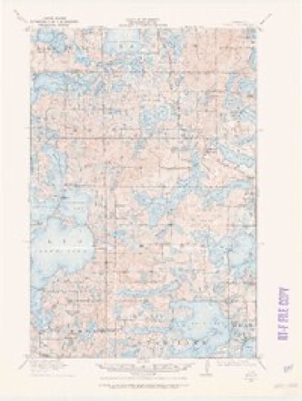
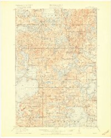
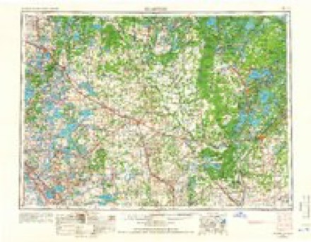
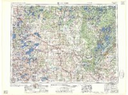
16 topographic sheets cover this place, the earliest surveyed in 1912 and the latest in 1986. It stands in Lake Eunice Township. It lies in ZIP code area 56501. The Survey maps it on the Lake Franklin quadrangle.
Topographic sheets covering this place
8 surveys from 16 printed sheetsMatched by testing this settlement's coordinate against the published boundary of every sheet in the United States Geological Survey's historical collection. Each opens the scanned sheet at the Survey.
- 1912 USGS Vergas quadrangle1:62500
- 1915 USGS Vergas quadrangle1:62500, 6 printings
- 1953 USGS Brainerd quadrangle1:250000, 3 printings
- 1957 USGS Brainerd quadrangle1:250000
- 1958 USGS Brainerd quadrangle1:250000
- 1965 USGS Brainerd quadrangle1:250000
- 1973 USGS Lake Franklin quadrangle1:24000
- 1986 USGS Detroit Lakes quadrangle1:100000, 2 printings
In the county-history sources
4,969 words on this townshipA Pioneer History of Becker County, Minnesota, Including a Brief Account of Its Natural History ... and a History of the Early Settlement of the County; Also, Including ... Historical Information Collected by Mrs. Jessie C. West. And Numerous Articles Written by Various Early Pioneers Relating to the History of the Several Townships of Becker County, published 1907 names this settlement in its chapter on Lake Eunice Township. These are the passages that mention it, exactly as the scans read.
Uncle Britt, as he was always called by his friends, was one of the first settlers in the town of Lake Eunice, and without doubt the first corn-husking bee in Becker County was held at his house. The writer was there and never will forget the hearty welcome he received and the splendid New England supper that was spread for the hearty settlers. It was a supper never to be forgotten; no lack of food at that table. Uncle Britt was raised in the forests of Maine. When a young man he was a lumberman, a sailor and cruiser to locate pine lands in }ilaine and Canada. It was his boast that he had driven the rivers of Maine and Canada for 27 springs, and his accounts of some of those drives and varied experiences in the forests of Maine and Canada were very interesting. He was a very kind hearted man; no one needing food or shelter was ever turned from his door.
Mr. Moore came with his family to Becker County on the 14th of June. 1871. He took a homestead on Section 12, in Lake Eunice, where he lived the remainder of his days. In the early days of this county he took an active part in the affairs of his town and county, and in tliis connection he earned and enjoyed the confidence and esteem of all. Sylvester jMoore was a man of unimpeachable character, honest in word and deed, well informed and a man whom it was a pleasure to meet and an honor to call a friend.
Machine-read from a century-old scan, so expect the errors a machine makes: misspelled names, dropped words, stray characters.
Read the whole chapter on Lake Eunice Township - it names this place 3 more 3 times.
Fires near this place
74 since 1992Regional context, not property-specific evidence. The federal wildfire occurrence database lists 74 fires within 5 miles of Lake Eunice between 1992 and 2020, burning about 556 acres in total. 1 started naturally. 14 were recorded as arson. Distance is straight-line from the map coordinates, so a fire counted here may appear on a neighbouring settlement's page as well.
| Reported cause | Fires |
|---|---|
| Debris and open burning | 38 |
| Arson/incendiarism | 14 |
| Missing data/not specified/undetermined | 10 |
| Equipment and vehicle use | 6 |
| Smoking | 3 |
| Misuse of fire by a minor | 1 |
| Natural | 1 |
| Fireworks | 1 |
The most recent of them, most recent first, with the day each was reported and the service that recorded it.
| Date | Cause | Size | Reported by | Name on the report |
|---|---|---|---|---|
| 5 September 2003 | Debris and open burning | 4.0 acres | Minnesota Department of Natural Resources | not named |
| 15 September 2005 | Smoking | under an acre | Minnesota Department of Natural Resources | not named |
| 4 August 2008 | Debris and open burning | 1.0 acres | Minnesota Department of Natural Resources | not named |
| 29 August 2003 | Arson/incendiarism | 1.0 acres | Minnesota Department of Natural Resources | not named |
| 26 August 2007 | Equipment and vehicle use | 6.0 acres | Minnesota Department of Natural Resources | not named |
| 25 August 2003 | Arson/incendiarism | 4.0 acres | Minnesota Department of Natural Resources | not named |
| 25 August 1995 | Natural | under an acre | Minnesota Department of Natural Resources | not named |
| 23 August 2003 | Missing data/not specified/undetermined | 2.0 acres | Minnesota Department of Natural Resources | not named |
Settlements close enough to share some of these fires:
Mines and quarries near this place
1 within 5 milesRegional context, not property-specific evidence. The federal mineral resources record lists 1 working within 5 miles of Lake Eunice: 1 producer. All of them still produce. What was taken out: Sand and Gravel, Construction. Distance is straight-line from the map coordinates, so a quarry counted here may appear on a neighbouring settlement's page as well.
| Where | Site | Commodity | Status | Recorded |
|---|---|---|---|---|
| Nester Pit & Mill | Sand and Gravel, Construction | Producer |
Nearest settlements
The eight closest, with where each one stands in the county. Distances are straight-line, computed from the Geographic Names Information System coordinates.
| Map | Place | Distance | Sheets |
|---|---|---|---|
| Bucks Mill | 3.3 miles | 16 | |
| Shoreham | 3.8 miles | 11 | |
| Cormorant | 5.2 miles | 11 | |
| Richards | 6.9 miles | 11 | |
| Audubon | 8.1 miles | 11 | |
| Detroit Lakes | 8.2 miles | 10 | |
| LaBelle | 10.6 miles | 7 | |
| Lake Park | 11.7 miles | 7 |
Provenance
This settlement is recorded in the Geographic Names Information System as feature 654699. The sheet list is computed by point-in-boundary test against the United States Geological Survey's historical topographic inventory. Both are works of the United States government and carry no copyright under 17 U.S.C. 105.
Wildfire. Short, Karen C. 2022. Spatial wildfire occurrence data for the United States, 1992-2020 [FPA_FOD_20221014]. 6th Edition. Fort Collins, CO: Forest Service Research Data Archive. https://doi.org/10.2737/RDS-2013-0009.6 Collected with United States Government funding and usable without additional permissions or fees.
Mines and quarries. USGS Mineral Resources Data System (MRDS) https://mrdata.usgs.gov/mrds/ A work of the United States government, no copyright under 17 U.S.C. 105.