 Block
Nansen, Minnesota
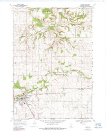
11 topographic sheets cover this place, the earliest surveyed in 1953 and the latest in 1989. It stands in Holden Township. It lies in ZIP code area 55946. The Survey maps it on the Kenyon quadrangle.
Topographic sheets covering this place
7 surveys from 11 printed sheetsMatched by testing this settlement's coordinate against the published boundary of every sheet in the United States Geological Survey's historical collection. Each opens the scanned sheet at the Survey.
- 1953 USGS Saint Paul quadrangle1:250000, 3 printings
- 1953 USGS St. Paul quadrangle1:250000
- 1959 USGS Saint Paul quadrangle1:250000
- 1959 USGS St. Paul quadrangle1:250000
- 1968 USGS Kenyon quadrangle1:24000, 2 printings
- 1985 USGS Rochester quadrangle1:100000
- 1989 USGS Rochester quadrangle1:100000, 2 printings




In the county-history sources
2,996 words on this townshipHistory of Goodhue County, Including a Sketch of the Territory and State of Minnesota; Together with an Account of the Early French Discoveries, Indian Massacres, the Part Borne by Minnesota's Patriots in the War of the Great Rebellion, and a Full and Complete History of the County from the Time of Its Occupancy by Swiss Missionaries in 1838. Pioneer Incidents, Biographical Sketches of Early and Prominent Settlers and Representative Men, and of Its Cities, Towns, Churches, Schools, Secret Societies, Etc, published 1878 names this settlement in its chapter on Holden Township. These are the passages that mention it, exactly as the scans read.
In 1856, a State road was surveyed through the southeast part of the township, and the following year Norway post office was established in the township, and Ole O. Huset appointed postmaster, and served as such to his death in 1862. This post office has since been moved just over the line in Wanamingo township, and B.J. Borlang, is postmaster. About the same time Holden post office was established in the north part of the township, and T. E. Thompson, appointed postmaster. Eidsvold post office was established in 1875, on the daily mail route from Red Wing to Faribault, and Hans Christianson Westermo, appointed post master.
The township was first attached to Wanamingo and other towns, for political purposes, until July 5, 1858, when the present township was organized and the name " Holden " given to it. Its political machinery was then set in motion by the election of the following officers : supervisors, K. K. Finseth, chairman, H. 0. Klemer and Charles Nichols ; town clerk, L. K. Aaker ; assessor, G. Nichols ; collector, Charles Foglesang ; justices of the peace, W. C. Crandall and Ole Olson; constables, Peter N. Langemo and H. Ennerson Vraalstad.
Machine-read from a century-old scan, so expect the errors a machine makes: misspelled names, dropped words, stray characters.
Mines and quarries near this place
3 within 5 milesRegional context, not property-specific evidence. The federal mineral resources record lists 3 workings within 5 miles of Nansen: 3 producers. All of them still produce. What was taken out: Stone, Crushed/Broken, Sand and Gravel, Construction. Distance is straight-line from the map coordinates, so a quarry counted here may appear on a neighbouring settlement's page as well.
| Where | Site | Commodity | Status | Recorded |
|---|---|---|---|---|
| Anderson Sand & Gravel Pit | Sand and Gravel, Construction | Producer | ||
| County Quarry | Stone, Crushed/Broken | Producer | ||
| Wacobson Quarry | Stone, Crushed/Broken | Producer |
Storms near this place
2 since 2012Regional context, not property-specific evidence. The National Weather Service names Nansen in 2 storm reports in 2012: 1 heavy rain, 1 hail. No death or injury is recorded in these reports. Each account below is quoted exactly as the forecast office filed it, from the NOAA Storm Events Database, and each date opens the federal record of that event.
Nearest settlements
The eight closest, with where each one stands in the county. Distances are straight-line, computed from the Geographic Names Information System coordinates.
Provenance
This settlement is recorded in the Geographic Names Information System as feature 654841. The sheet list is computed by point-in-boundary test against the United States Geological Survey's historical topographic inventory. Both are works of the United States government and carry no copyright under 17 U.S.C. 105.
Mines and quarries. USGS Mineral Resources Data System (MRDS) https://mrdata.usgs.gov/mrds/ A work of the United States government, no copyright under 17 U.S.C. 105.
Storms. NOAA National Centers for Environmental Information, Storm Events Database https://www.ncei.noaa.gov/stormevents/ A work of the United States government, no copyright under 17 U.S.C. 105. Narratives are quoted verbatim from the National Weather Service report and are not edited or summarised.