 Block
New Germany, Minnesota
11 topographic sheets cover this place, the earliest surveyed in 1953 and the latest in 1985. It stands in New Germany City. It lies in ZIP code area 55367. The Survey maps it on the Mayer quadrangle. 464 people lived here at the 2020 count. It stands 984 feet above sea level.
Population over time
2 figuresNew Germany grew from 372 to 464 between 2010 and 2020. These are the recorded population figures Wikidata holds for this place, reached through the Geographic Names Information System number this page is keyed on rather than by name, so they belong to this place and not to another of the same name. Most are census counts, but not all are: an early figure may be a founding or settlement estimate, and an estimate published within five years of a census is left out. The change column is computed, and is left blank where more than 20 years separate a figure from the one before it, because a gap that long is not a change between two counts.
| Year | People | Change |
|---|---|---|
| 2010 | 372 | |
| 2020 | 464 | +92 (+25%) |
Topographic sheets covering this place
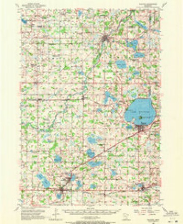
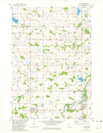
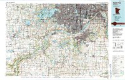
7 surveys from 11 printed sheetsMatched by testing this settlement's coordinate against the published boundary of every sheet in the United States Geological Survey's historical collection. Each opens the scanned sheet at the Survey.
- 1953 USGS Saint Paul quadrangle1:250000, 3 printings
- 1953 USGS St. Paul quadrangle1:250000
- 1957 USGS Waconia quadrangle1:62500, 2 printings
- 1959 USGS Saint Paul quadrangle1:250000
- 1959 USGS St. Paul quadrangle1:250000
- 1981 USGS Mayer quadrangle1:24000
- 1985 USGS Saint Paul quadrangle1:100000, 2 printings




Storms near this place
27 since 1997Regional context, not property-specific evidence. The National Weather Service names New Germany in 27 storm reports between 1997 and 2024: 13 thunderstorm wind, 7 hail, 3 flood, 2 tornado. No death or injury is recorded in these reports. Each account below is quoted exactly as the forecast office filed it, from the NOAA Storm Events Database, and each date opens the federal record of that event.
| When | Event | Place named | Harm | What the report says |
|---|---|---|---|---|
| June 2012 | Thunderstorm Wind | New Germany | $300,000 | North of the city of New Germany, severe straight-line winds caused damage to five sheds, with two completely destroyed. In addition, three corn bins were damaged, one turned over, one was wrapped around a tree, and one damaged by another falling on it. |
| July 2015 | Tornado (EF1) | New Germany | $250,000 | A storm survey indicated that an EF-1 tornado touched down in Hollywood Township in Carver County. The tornado spun up seven miles west-southwest of Watertown and continued east-northeast to two miles west-southwest of Watertown. The most damage occurred as the tornado crossed Vega Avenue where numerous trees were snapped and some minor structural damage was found. An apple orchard was also damaged with this tornado. There was a private weather station that measured a 99 mph wind gust before it blew off the roof. The path length was 5.1 miles long with a maximum wind speed of 105 mph. |
| July 2011 | Thunderstorm Wind | New Germany | $250,000 | One half of a large barn was blown down southwest of New Germany, between County Road 30 and 33. In addition, several large trees were blown down near the same area. |
| July 2015 | Thunderstorm Wind | New Germany | $100,000 | A roof was blown off a house on Vega Avenue, south of New Germany. |
| June 2013 | Flash Flood | New Germany | $100,000 | Several county roads in Hollywood, Camden, and Watertown Townships were closed due to flood waters running over the roadways. Many of these roads remained closed for several days due to repairs. |
| August 2024 | Thunderstorm Wind | New Germany | - | Delayed report via mesonet station, time estimated from radar. |
| May 2022 | Thunderstorm Wind | New Germany | - | Several trees and large branches were downed, including some on power lines. |
| May 2022 | Tornado (EF0) | New Germany | - | This tornado formed in McLeod County (see corresponding entry) before entering Carver County. It then uprooted or broke dozens of trees. The tornado also caused significant damage to a machine shed. The tornado then moved into Wright County (see corresponding entry). |
| May 2018 | Thunderstorm Wind | New Germany | - | A Minnesota Department of Transportation wind sensor reported a wind gust of 60 mph. |
| June 2017 | Thunderstorm Wind | New Germany | - | Reported by the MN022 (New Germany 1NW) Mesonet. |
| March 2011 | Flood | New Germany | - | Several county roads and U.S. Highways along the Crow River were impassable due to Spring snow melt and the associated runoff that continued through the end of March. |
| March 2010 | Flood | New Germany | - | Numerous county roads near New Germany, which included; County Road 30 between 33 and the Wright County Line, Yancy Avenue between 78th Street and County Road 30, 82nd Street between County Road 32 and Union Avenue, 62nd Street west of County Road 33 and Vega Avenue, and at 86th and 94th Streets were flooded due to the water flowing out its banks from the South Crow River. |
| March 2010 | Flood | New Germany | - | Numerous county roads were closed near the South Crow River due to flooding. |
| July 2007 | Thunderstorm Wind | New Germany | - | Eight to ten inch diameter trees snapped and laying along the road at Little Sioux river crossing. |
| June 2001 | Thunderstorm Wind | New Germany | - | Six inch diameter branches down. |
| June 1998 | Thunderstorm Wind | New Germany | - | Trees blown down. Estimated windspeed. |
| September 2023 | Thunderstorm Wind | New Germany | - | no account filed |
| June 2013 | Hail | New Germany | - | no account filed |
| May 2011 | Funnel Cloud | New Germany | - | no account filed |
| July 2008 | Hail | New Germany | - | no account filed |
| July 2007 | Hail | New Germany | - | no account filed |
| August 2007 | Hail | New Germany | - | no account filed |
| June 2002 | Hail | New Germany | - | no account filed |
| June 2001 | Hail | New Germany | - | no account filed |
| August 2000 | Thunderstorm Wind | New Germany | - | no account filed |
| August 2000 | Hail | New Germany | - | no account filed |
| July 1997 | Thunderstorm Wind | New Germany | - | no account filed |
Nearest settlements
The eight closest, with where each one stands in the county. Distances are straight-line, computed from the Geographic Names Information System coordinates.
| Map | Place | Distance | Sheets |
|---|---|---|---|
| Hollywood | 1.5 miles | 11 | |
| Mayer | 4.4 miles | 11 | |
| Hazelton | 5.1 miles | 11 | |
| Young America (historical) | 7.6 miles | 11 | |
| Hydes Lake | 7.8 miles | 12 | |
| Norwood Young America | 8.1 miles | 11 | |
| Maple | 8.2 miles | 12 | |
| Faxon Court | 8.3 miles | 11 |
Elsewhere
Matched on this settlement's Geographic Names Information System number rather than its name, so it cannot be a different place of the same name in another state.
| Wikipedia article on New Germany | An encyclopaedic summary. Its text is share-alike, so it is linked here rather than copied. |
| Wikidata item Q1012347 | The structured record the population and elevation above come from. Public domain (CC0). |
Provenance
This settlement is recorded in the Geographic Names Information System as feature 648507. The sheet list is computed by point-in-boundary test against the United States Geological Survey's historical topographic inventory. Both are works of the United States government and carry no copyright under 17 U.S.C. 105.
Storms. NOAA National Centers for Environmental Information, Storm Events Database https://www.ncei.noaa.gov/stormevents/ A work of the United States government, no copyright under 17 U.S.C. 105. Narratives are quoted verbatim from the National Weather Service report and are not edited or summarised.