 Block
Newport, Minnesota
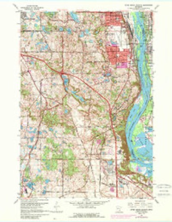
28 topographic sheets cover this place, the earliest surveyed in 1896 and the latest in 1985. It stands in Newport City. It lies in ZIP code area 55055. The Survey maps it on the Inver Grove Heights quadrangle. 3,797 people lived here at the 2020 count. It stands 745 feet above sea level.
Population over time
2 figuresNewport grew from 3,435 to 3,797 between 2010 and 2020. These are the recorded population figures Wikidata holds for this place, reached through the Geographic Names Information System number this page is keyed on rather than by name, so they belong to this place and not to another of the same name. Most are census counts, but not all are: an early figure may be a founding or settlement estimate, and an estimate published within five years of a census is left out. The change column is computed, and is left blank where more than 20 years separate a figure from the one before it, because a gap that long is not a change between two counts.
| Year | People | Change |
|---|---|---|
| 2010 | 3,435 | |
| 2020 | 3,797 | +362 (+11%) |
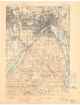
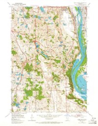
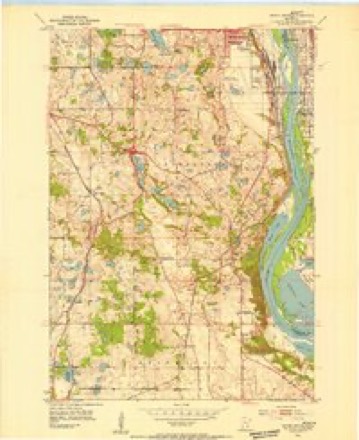
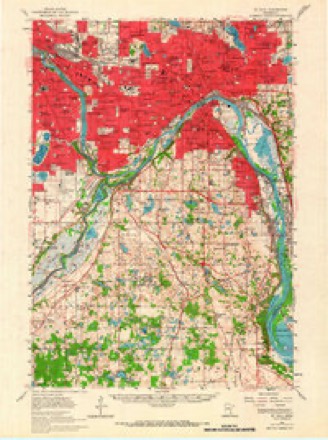
Topographic sheets covering this place
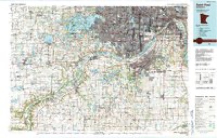
10 surveys from 28 printed sheetsMatched by testing this settlement's coordinate against the published boundary of every sheet in the United States Geological Survey's historical collection. Each opens the scanned sheet at the Survey.
- 1896 USGS St. Paul quadrangle1:62500, 11 printings
- 1951 USGS Inver Grove quadrangle1:24000, 2 printings
- 1951 USGS Inver Grove Heights quadrangle1:24000
- 1951 USGS St. Paul quadrangle1:62500, 2 printings
- 1953 USGS Saint Paul quadrangle1:250000, 3 printings
- 1953 USGS St. Paul quadrangle1:250000
- 1959 USGS Saint Paul quadrangle1:250000
- 1959 USGS St. Paul quadrangle1:250000
- 1967 USGS Inver Grove Heights quadrangle1:24000, 4 printings
- 1985 USGS Saint Paul quadrangle1:100000, 2 printings




In the county-history sources
2,084 words on this townshipHistory of Washington County and the St. Croix Valley Including the Explorers and Pioneers of Minnesota, published 1881 names this settlement in its chapter on Newport City. These are the passages that mention it, exactly as the scans read.
John A. Ford was born near Utica, New York, in 1 81 1 . At the age of ten years he moved with his parents to Chautauqua county. He served his apprenticeship at the trade of edge tool and rifle making in Westfield, New York. He and his father made claims, in 1834, where Chicago is now, but afterwards lost them through the intrigue of others. They engaged in lumber¬ ing in northern Indiana two years. Mr. Ford then went to Illinois, and worked at his trade until 1841. During August of that year he came to Red Rock, bringing lumber jvith him for a store, which he built in company with Mr. Daniel Hopkins who came there at that time, from Prairie du Cliien. They, having the means, filled their store with a fine assortment of goods, which brought to them trade from many miles around. Soon after St. Paul began growing, and Mr. Hopkins, after remaining three years, went there and opened a store. Mr. Ford carried on his enterprise until 1852, when the establishing of trade at St. Paul and other points made it necessary for him to close his business in that line. He held the office of chairman of the board of town supervisors one year in Woodbury, before the fraction was set off to Newport, also at Newport one year. He was also elected to the second territorial legislature of Minnesota. His marriage with Miss Mary Holton occurred in 1843. Franklin and Willis are their children.
Passage source: History of Washington County and the St. Croix Valley Including the Explorers and Pioneers of Minnesota, published 1881.
Giles II. Fowler, a native of Massachusetts, was born in 1832, and while quite young his parents moved to Geauga county, Ohio. Here he received his education, completing his course of study at the Western Reserve Eclectic Institute, of Hiram Ohio. In 1862, he came to Minnesota, and after passing one year at St. Paul, located at Newport, where he has since resided, engaged in railroading and farming. He has represented the Chicago, Milwaukee and St. Paul railroad, at Newport, since its construction, in 1869, having been appointed station agent at that time. Mr. Fowler has served as chairman of town supervis¬ ors, town clerk, assessor, etc., and has always been a leading citizen. In company with Capt. Hoyt, he organized a militia company, prior to the commencement of hostilities between the north and south, and was afterward assigned to Company R, Third Minnesota Volunteer In¬ fantry, at Fort Sneliing. Mr. Fowler experienced a severe illness while at Nashville, Tennessee, and after being confined to the hospital eight weeks, was discharged for disability. He mar¬ ried in 1856, Miss Mary Shellenberger, of Ohio. They have five children, Ada R., Melville W., who is night train dispatcher of the Chicago, Mil¬ waukee and St. Paul railroad, at Minneapolis, Judson J., George and Elmer.
Passage source: History of Washington County and the St. Croix Valley Including the Explorers and Pioneers of Minnesota, published 1881.
Joseph I rish, the largest landowner in Newport township, and one of the earliest settlers, was born in Rutland county, Vermont, 1811. Here he was educated and lived until reaching the age of twenty-seven, when he came to Ohio and set¬ tled in the "Western Reserve." He followed the peaceful pursuits of agriculture till the spring of 1851, when he made his way to Minnesota and located at Red Rock, coming at the same time as did the commissioners to make a treaty with the Indians for the relinquishment of the greater part of the lands now embraced by Minnesota. Mr. Irish first occupied one of the houses built by the Cavanaugh mission at Red Rock. The old house is still standing as a relic. To the "gude housewife" of Mr. Irish belongs the credit of making the first cheese ever made in the state, which was in 1852. The year previous he had shipped from Galena, Illinois, twenty-seven cows, and with Mrs. Irish's assistance, they opened an extensive dairy, the cheese being marketed most¬ ly at St. Paul, llis wife was Miss Lizzie W. Keeney, whom he married in 1839. They have reared two adopted children, Jennie and Samuel.
Passage source: History of Washington County and the St. Croix Valley Including the Explorers and Pioneers of Minnesota, published 1881.
Machine-read from a century-old scan, so expect the errors a machine makes: misspelled names, dropped words, stray characters.
Read the whole chapter on Newport City - it names this place 6 more 6 times.
Fires near this place
1 since 2017Regional context, not property-specific evidence. The federal wildfire occurrence database lists 1 fire within 5 miles of Newport in 2017, burning about 6 acres in total. None started naturally. None was recorded as arson. Distance is straight-line from the map coordinates, so a fire counted here may appear on a neighbouring settlement's page as well.
| Reported cause | Fires |
|---|---|
| Debris and open burning | 1 |
The most recent of them, most recent first, with the day each was reported and the service that recorded it.
| Date | Cause | Size | Reported by | Name on the report |
|---|---|---|---|---|
| 1 April 2017 | Debris and open burning | 6.0 acres | Minnesota Department of Natural Resources | not named |
Settlements close enough to share some of these fires:
Mines and quarries near this place
10 within 5 milesRegional context, not property-specific evidence. The federal mineral resources record lists 10 workings within 5 miles of Newport: 9 producers, 1 plant. All of them still produce. What was taken out: Sand and Gravel, Construction, Stone, Crushed/Broken, Sulfur. Distance is straight-line from the map coordinates, so a quarry counted here may appear on a neighbouring settlement's page as well.
| Where | Site | Commodity | Status | Recorded |
|---|---|---|---|---|
| (Facility) Northwestern Refinery | Sulfur | Plant | ||
| Shiely Larson Quarry & Plant | Stone, Crushed/Broken | Producer | ||
| Afton Road Pit | Sand and Gravel, Construction | Producer | ||
| Cottage Grove Pit and Mill | Sand and Gravel, Construction | Producer | ||
| Noltiemeyer Pit and Mill | Sand and Gravel, Construction | Producer | ||
| Noltiemeyer Pit and Mill | Sand and Gravel, Construction | Producer | ||
| Pine Bend Pit & Mill | Sand and Gravel, Construction | Producer | ||
| Riggs Pit and Mill | Sand and Gravel, Construction | Producer | ||
| Standard Pit & Mill | Sand and Gravel, Construction | Producer | ||
| Standard Sand & Gravel Pit | Sand and Gravel, Construction | Producer |
Storms near this place
14 since 1996Regional context, not property-specific evidence. The National Weather Service names Newport in 14 storm reports between 1996 and 2019: 6 thunderstorm wind, 6 hail, 1 lightning, 1 flash flood. No death or injury is recorded in these reports. Each account below is quoted exactly as the forecast office filed it, from the NOAA Storm Events Database, and each date opens the federal record of that event.
| When | Event | Place named | Harm | What the report says |
|---|---|---|---|---|
| May 2017 | Hail | Newport | $250,000 | Another continuous swath of large hail, up to golf ball size, fell from Newport to near the intersection of I-94 and Highway 95. |
| July 2016 | Thunderstorm Wind | Newport | - | Several trees were blown down in the city of Newport. Some of the trees had a diameter of 24 inches. |
| September 2016 | Hail | Newport | - | Most of the hail that fell was pea to penny size. |
| July 2015 | Flash Flood | Newport | - | Rainfall totals exceeded 4-5 inches in a 3 hour period early Monday morning, July 6th. A resident in Woodbury reported rising water approaching their home. Heavy rains overflowed a pond and the athletic area at Highlands Park in Cottage Grove. |
| August 2012 | Thunderstorm Wind | Newport | - | A 6-inch diameter tree was blown down at Granada and 90th Street in Cottage Grove. |
| August 2012 | Thunderstorm Wind | Newport | - | A few trees were blown down in St. Paul Park. |
| July 2009 | Hail | Newport | - | The local fire department reported golf ball size hail at the intersection of Highway 61 and Glen Road. In addition several reports of penny size hail were observed in Cottage Grove. |
| August 2007 | Thunderstorm Wind | Newport | - | Trees down. |
| August 2007 | Hail | Newport | - | Hail fell in St. Paul Park. |
| July 2004 | Lightning | Newport | - | A lightning strike started a fire that destroyed a storage tank holding 60,000 gallons of heavy industrial oil at a petroleum refinery. A second storage tank was damaged. |
| June 1999 | Thunderstorm Wind | Newport | - | Trees blown down. Estimated windspeed. |
| September 2019 | Hail | Newport | - | no account filed |
| June 2001 | Hail | Newport | - | no account filed |
| May 1996 | Thunderstorm Wind | Newport | - | no account filed |
Nearest settlements
The eight closest, with where each one stands in the county. Distances are straight-line, computed from the Geographic Names Information System coordinates.
| Map | Place | Distance | Sheets |
|---|---|---|---|
| Saint Paul Park | 1.7 miles | 18 | |
| Cottage Grove | 4.0 miles | 18 | |
| Woodbury | 4.5 miles | 17 | |
| Langdon | 5.4 miles | 18 | |
| Landfall | 6.0 miles | 17 | |
| East Cottage Grove | 6.5 miles | 18 | |
| Oakbury | 6.7 miles | 17 | |
| Oakdale | 6.9 miles | 17 |
Elsewhere
Matched on this settlement's Geographic Names Information System number rather than its name, so it cannot be a different place of the same name in another state.
| Wikipedia article on Newport | An encyclopaedic summary. Its text is share-alike, so it is linked here rather than copied. |
| Wikidata item Q2228334 | The structured record the population and elevation above come from. Public domain (CC0). |
Provenance
This settlement is recorded in the Geographic Names Information System as feature 648530. The sheet list is computed by point-in-boundary test against the United States Geological Survey's historical topographic inventory. Both are works of the United States government and carry no copyright under 17 U.S.C. 105.
Wildfire. Short, Karen C. 2022. Spatial wildfire occurrence data for the United States, 1992-2020 [FPA_FOD_20221014]. 6th Edition. Fort Collins, CO: Forest Service Research Data Archive. https://doi.org/10.2737/RDS-2013-0009.6 Collected with United States Government funding and usable without additional permissions or fees.
Mines and quarries. USGS Mineral Resources Data System (MRDS) https://mrdata.usgs.gov/mrds/ A work of the United States government, no copyright under 17 U.S.C. 105.
Storms. NOAA National Centers for Environmental Information, Storm Events Database https://www.ncei.noaa.gov/stormevents/ A work of the United States government, no copyright under 17 U.S.C. 105. Narratives are quoted verbatim from the National Weather Service report and are not edited or summarised.