 Block
Odin, Minnesota
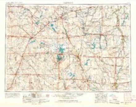
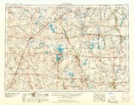
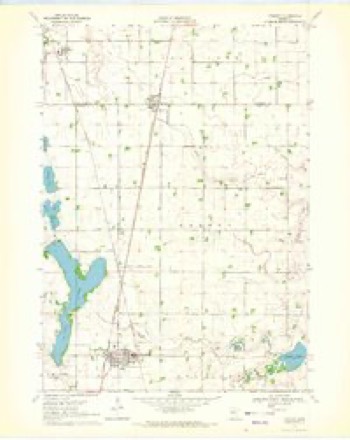
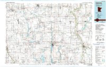
6 topographic sheets cover this place, the earliest surveyed in 1954 and the latest in 1985. It stands in Odin City. It lies in ZIP code area 56160. The Survey maps it on the Trimont quadrangle. 123 people lived here at the 2020 count. It stands 1,211 feet above sea level.
Population over time
2 figuresOdin grew from 106 to 123 between 2010 and 2020. These are the recorded population figures Wikidata holds for this place, reached through the Geographic Names Information System number this page is keyed on rather than by name, so they belong to this place and not to another of the same name. Most are census counts, but not all are: an early figure may be a founding or settlement estimate, and an estimate published within five years of a census is left out. The change column is computed, and is left blank where more than 20 years separate a figure from the one before it, because a gap that long is not a change between two counts.
| Year | People | Change |
|---|---|---|
| 2010 | 106 | |
| 2020 | 123 | +17 (+16%) |
Topographic sheets covering this place
4 surveys from 6 printed sheetsMatched by testing this settlement's coordinate against the published boundary of every sheet in the United States Geological Survey's historical collection. Each opens the scanned sheet at the Survey.
- 1954 USGS Fairmont quadrangle1:250000, 3 printings
- 1958 USGS Fairmont quadrangle1:250000
- 1970 USGS Trimont quadrangle1:24000
- 1985 USGS Fairmont quadrangle1:100000
Storms near this place
12 since 1997Regional context, not property-specific evidence. The National Weather Service names Odin in 12 storm reports between 1997 and 2026: 8 hail, 2 flood, 1 funnel cloud, 1 flash flood. No death or injury is recorded in these reports. Each account below is quoted exactly as the forecast office filed it, from the NOAA Storm Events Database, and each date opens the federal record of that event.
| When | Event | Place named | Harm | What the report says |
|---|---|---|---|---|
| September 2010 | Flood | Odin | $3,900,000 | Numerous roads were closed due to excessive rainfall that fell on September 22nd and 23th. The major areal flooding didn't recede until late Saturday when most of the small streams and creeks had crested and only mainstem rivers remained flooded. |
| August 2023 | Hail | Odin | - | There was also a report of power out in Odin. |
| March 2010 | Flood | Odin | - | County Road 5, south of Butterfield was closed due to flooding. |
| September 2010 | Flash Flood | Odin | - | Strong thunderstorms developed during the late afternoon, and early evening across the county, and dropped around 1 to 2 inches of rainfall, along with some large hail stones. By 730 pm, another band of thunderstorms developed across the county and began to train over the same areas. By 8 pm, portions of Watonwan County, northeast of Darfur, Minnesota had already received 2.35 inches of rainfall. By 11 pm, an observer measured 5.50 inches of rainfall near St. James. Over the next several hours periods of heavy rainfall added up, with several observers measuring between 8 and 10 inches across the southern part of the county, with localized 10 to 12 inches near Butterfield, Odin, and South Branch, Minnesota. Numerous streets were underwater and closed for several hours. A few apartment complexes in St. James were evacuated due to the flooding. |
| August 2006 | Funnel Cloud | Odin | - | Funnel appeared like it would soon reach the ground. |
| April 2026 | Hail | Odin | - | no account filed |
| June 2025 | Hail | Odin | - | no account filed |
| July 2012 | Hail | Odin | - | no account filed |
| September 2010 | Hail | Odin | - | no account filed |
| June 2003 | Hail | Odin | - | no account filed |
| June 1999 | Hail | Odin | - | no account filed |
| September 1997 | Hail | Odin | - | no account filed |
Nearest settlements
The eight closest, with where each one stands in the county. Distances are straight-line, computed from the Geographic Names Information System coordinates.
| Map | Place | Distance | Sheets |
|---|---|---|---|
| Echols | 5.4 miles | 7 | |
| Butterfield | 6.9 miles | 6 | |
| Saint James Place | 9.6 miles | 7 | |
| Saint James | 10.1 miles | 7 | |
| South Branch | 10.3 miles | 6 | |
| Darfur | 13.7 miles | 9 | |
| Sveadahl | 14.3 miles | 9 | |
| Grogan | 15.0 miles | 10 |
Elsewhere
Matched on this settlement's Geographic Names Information System number rather than its name, so it cannot be a different place of the same name in another state.
| Wikipedia article on Odin | An encyclopaedic summary. Its text is share-alike, so it is linked here rather than copied. |
| Wikidata item Q2214183 | The structured record the population and elevation above come from. Public domain (CC0). |
Provenance
This settlement is recorded in the Geographic Names Information System as feature 648898. The sheet list is computed by point-in-boundary test against the United States Geological Survey's historical topographic inventory. Both are works of the United States government and carry no copyright under 17 U.S.C. 105.
Storms. NOAA National Centers for Environmental Information, Storm Events Database https://www.ncei.noaa.gov/stormevents/ A work of the United States government, no copyright under 17 U.S.C. 105. Narratives are quoted verbatim from the National Weather Service report and are not edited or summarised.