 Block
Saint Kilian, Minnesota
7 topographic sheets cover this place, the earliest surveyed in 1954 and the latest in 1985. It stands in Wilmont Township. It lies in ZIP code area 56185. The Survey maps it on the Wilmont quadrangle. It stands 1,765 feet above sea level.
On record in Saint Kilian
Buildings and businesses the archive holds for this place. Each opens its own page, with the source record it came from.
On the National Register within a mile 1 record
The National Register names another town for these. They stand within one mile of this settlement's coordinate.
- Church of St. Kilian (Catholic)listed 1998 · 0.2 miles away
Topographic sheets covering this place
4 surveys from 7 printed sheetsMatched by testing this settlement's coordinate against the published boundary of every sheet in the United States Geological Survey's historical collection. Each opens the scanned sheet at the Survey.
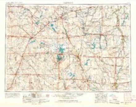
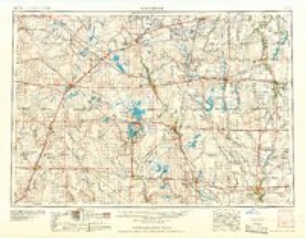
- 1954 USGS Fairmont quadrangle1:250000, 3 printings
- 1958 USGS Fairmont quadrangle1:250000
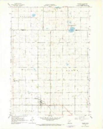
- 1967 USGS Wilmont quadrangle1:24000
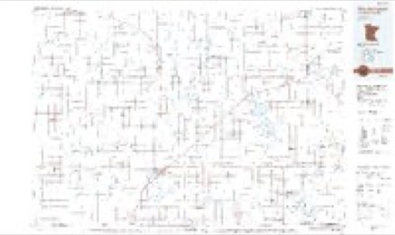
- 1985 USGS Worthington quadrangle1:100000, 2 printings
Nearest settlements
The eight closest, with where each one stands in the county. Distances are straight-line, computed from the Geographic Names Information System coordinates.
Elsewhere
Matched on this settlement's Geographic Names Information System number rather than its name, so it cannot be a different place of the same name in another state.
| Wikipedia article on Saint Kilian | An encyclopaedic summary. Its text is share-alike, so it is linked here rather than copied. |
| Wikidata item Q7589437 | The structured record the population and elevation above come from. Public domain (CC0). |
Provenance
This settlement is recorded in the Geographic Names Information System as feature 654927. The sheet list is computed by point-in-boundary test against the United States Geological Survey's historical topographic inventory. Both are works of the United States government and carry no copyright under 17 U.S.C. 105.