 Block
Viola, Minnesota
15 topographic sheets cover this place, the earliest surveyed in 1935 and the latest in 1989. It stands in Viola Township. It lies in ZIP code area 55934. The Survey maps it on the Chester quadrangle.
On record in Viola
Buildings and businesses the archive holds for this place. Each opens its own page, with the source record it came from.
On the National Register 1 record
- Viola Cooperative Creamerylisted 1999
Topographic sheets covering this place
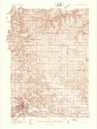
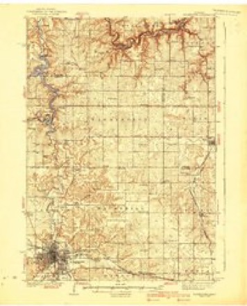
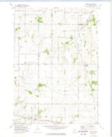
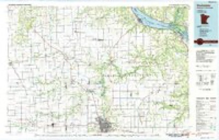
9 surveys from 15 printed sheetsMatched by testing this settlement's coordinate against the published boundary of every sheet in the United States Geological Survey's historical collection. Each opens the scanned sheet at the Survey.
- 1935 USGS Rochester quadrangle1:48000
- 1939 USGS Rochester quadrangle1:62500, 4 printings
- 1953 USGS Saint Paul quadrangle1:250000, 3 printings
- 1953 USGS St. Paul quadrangle1:250000
- 1959 USGS Saint Paul quadrangle1:250000
- 1959 USGS St. Paul quadrangle1:250000
- 1972 USGS Chester quadrangle1:24000
- 1985 USGS Rochester quadrangle1:100000
- 1989 USGS Rochester quadrangle1:100000, 2 printings




In the county-history sources
42,390 words on this townshipHistory of Olmsted County, Minnesota, published 1910 names this settlement in its chapter on Viola Township. These are the passages that mention it, exactly as the scans read.
Rev. Caleb Sawyer was a native of New Hampshire. He was ordained as a Baptist minister, but his occupation in Viola, where he settled in 1856, was that of a farmer. He served two terms as representative. He was of the highest character and universally esteemed. He died in 1881.
Passage source: History of Olmsted County, Minnesota, published 1910.
In November, 1867, William Brown, of Rochester, was elected sheriff; Charles M. Start, of Rochester, county attorney; L. O. Benjamin, of Rochester, coroner ; Edwin A. Doty, of Viola, Henry J. Grant, of Rochester, and George W. Wirt, of Oronoco county, commissioners. All were Republicans.
Passage source: History of Olmsted County, Minnesota, published 1910.
Edwin A. Doty was born in the State of New York and was a farmer. He settled in Viola in 1858. His wife taught the first school in the township. There being no school building, Mrs. Doty gathered the neighboring children in her own home daily for two years, when the school house was built. When the Rochester and Plainview railroad was built across the township in 1879 it ran across Mr. Doty's farm and he established a grain elevator and warehouse, calling it Doty Station and handling the grain of the neighborhood. He was town treasurer a number of years. He died in January, 1905. He was one of the best citizens - honest, frank and reliable, and thoroughly worthy the great respect in which he was held by all who knew him.
Passage source: History of Olmsted County, Minnesota, published 1910.
Machine-read from a century-old scan, so expect the errors a machine makes: misspelled names, dropped words, stray characters.
Read the whole chapter on Viola Township - it names this place 22 more 22 times.
Fires near this place
2 since 1994Regional context, not property-specific evidence. The federal wildfire occurrence database lists 2 fires within 5 miles of Viola between 1994 and 2006, burning about 1 acre in total. None started naturally. None was recorded as arson. Distance is straight-line from the map coordinates, so a fire counted here may appear on a neighbouring settlement's page as well.
| Reported cause | Fires |
|---|---|
| Smoking | 1 |
| Missing data/not specified/undetermined | 1 |
The most recent of them, most recent first, with the day each was reported and the service that recorded it.
| Date | Cause | Size | Reported by | Name on the report |
|---|---|---|---|---|
| 16 July 2006 | Missing data/not specified/undetermined | under an acre | Minnesota Department of Natural Resources | not named |
| 1 April 1994 | Smoking | under an acre | Minnesota Department of Natural Resources | not named |
Settlements close enough to share some of these fires:
Mines and quarries near this place
2 within 5 milesRegional context, not property-specific evidence. The federal mineral resources record lists 2 workings within 5 miles of Viola: 2 producers. All of them still produce. What was taken out: Stone, Crushed/Broken. Distance is straight-line from the map coordinates, so a quarry counted here may appear on a neighbouring settlement's page as well.
| Where | Site | Commodity | Status | Recorded |
|---|---|---|---|---|
| Schoenfelder Quarry | Stone, Crushed/Broken | Producer | ||
| Walsh Quarry & Mill | Stone, Crushed/Broken | Producer |
Storms near this place
5 since 2006Regional context, not property-specific evidence. The National Weather Service names Viola in 5 storm reports between 2006 and 2026: 2 hail, 2 tornado, 1 flood. No death or injury is recorded in these reports. Each account below is quoted exactly as the forecast office filed it, from the NOAA Storm Events Database, and each date opens the federal record of that event.
| When | Event | Place named | Harm | What the report says |
|---|---|---|---|---|
| April 2026 | Tornado (EF2) | Viola | $546,000 | This strong EF-2 tornado began in rural portions of Olmsted County east of Viola where it damaged some farm outbuildings as it moved northeast. As the tornado approached the Wabasha County line, it strengthened and significantly damaged a farmstead, removing large sections of the roof and other portions of the home and outbuildings. It then continued northeast into Wabasha County. |
| June 2008 | Flood | Viola | $50,000 | Highway 56 became flooded after additional rounds of thunderstorms moved through. |
| August 2006 | Hail | Viola | $800 | no account filed |
| June 2017 | Tornado (EF0) | Viola | - | An EF-0 tornado briefly touched down southwest of Viola. Little to no damage was reported with the tornado. |
| September 2018 | Hail | Viola | - | no account filed |
Nearest settlements
The eight closest, with where each one stands in the county. Distances are straight-line, computed from the Geographic Names Information System coordinates.
Provenance
This settlement is recorded in the Geographic Names Information System as feature 653671. The sheet list is computed by point-in-boundary test against the United States Geological Survey's historical topographic inventory. Both are works of the United States government and carry no copyright under 17 U.S.C. 105.
Wildfire. Short, Karen C. 2022. Spatial wildfire occurrence data for the United States, 1992-2020 [FPA_FOD_20221014]. 6th Edition. Fort Collins, CO: Forest Service Research Data Archive. https://doi.org/10.2737/RDS-2013-0009.6 Collected with United States Government funding and usable without additional permissions or fees.
Mines and quarries. USGS Mineral Resources Data System (MRDS) https://mrdata.usgs.gov/mrds/ A work of the United States government, no copyright under 17 U.S.C. 105.
Storms. NOAA National Centers for Environmental Information, Storm Events Database https://www.ncei.noaa.gov/stormevents/ A work of the United States government, no copyright under 17 U.S.C. 105. Narratives are quoted verbatim from the National Weather Service report and are not edited or summarised.