 Block
Worthington, Minnesota
8 topographic sheets cover this place, the earliest surveyed in 1954 and the latest in 1985. It stands in Worthington City. It lies in ZIP code area 56187. The Survey maps it on the Worthington South quadrangle. 13,947 people lived here at the 2020 count. It stands 1,591 feet above sea level.
Research this city
On record in Worthington
Buildings and businesses the archive holds for this place. Each opens its own page, with the source record it came from.
On the National Register 7 records
 Citizens' National Banklisted 1982
 George D. Dayton Houselisted 2003
 Hotel Thompsonlisted 1984
 Dr. E. A. Kilbride Cliniclisted 1977
- Nobles County War Memorial Buildinglisted 2017
- Worthington Armory and Community Buildinglisted 2017
- Worthington Band Shelllisted 2015
Population over time
2 figuresWorthington grew from 12,764 to 13,947 between 2010 and 2020. These are the recorded population figures Wikidata holds for this place, reached through the Geographic Names Information System number this page is keyed on rather than by name, so they belong to this place and not to another of the same name. Most are census counts, but not all are: an early figure may be a founding or settlement estimate, and an estimate published within five years of a census is left out. The change column is computed, and is left blank where more than 20 years separate a figure from the one before it, because a gap that long is not a change between two counts.
| Year | People | Change |
|---|---|---|
| 2010 | 12,764 | |
| 2020 | 13,947 | +1,183 (+9%) |
Topographic sheets covering this place
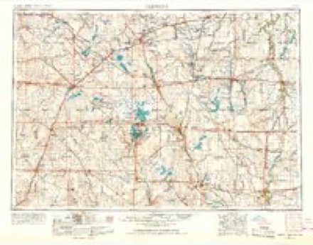
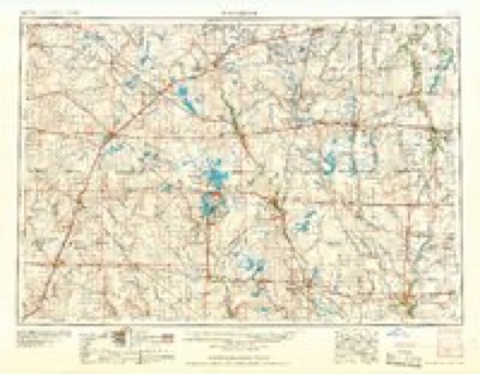
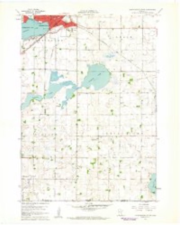
4 surveys from 8 printed sheetsMatched by testing this settlement's coordinate against the published boundary of every sheet in the United States Geological Survey's historical collection. Each opens the scanned sheet at the Survey.
- 1954 USGS Fairmont quadrangle1:250000, 3 printings
- 1958 USGS Fairmont quadrangle1:250000
- 1960 USGS Worthington South quadrangle1:24000, 2 printings
- 1985 USGS Worthington quadrangle1:100000, 2 printings
Storms near this place
53 since 1994Regional context, not property-specific evidence. The National Weather Service names Worthington in 53 storm reports between 1994 and 2025: 24 hail, 18 thunderstorm wind, 7 flash flood, 2 tornado. No death or injury is recorded in these reports. Each account below is quoted exactly as the forecast office filed it, from the NOAA Storm Events Database, and each date opens the federal record of that event.
| When | Event | Place named | Harm | What the report says |
|---|---|---|---|---|
| August 2004 | Thunderstorm Wind | Worthington | $1,000,000 | Thunderstorm winds blew parts of the roofs off a junior high school building and an apartment building, and overturned a semi truck. The winds caused widespread tree damage, including several large trees uprooted or blown down. Tree debris blocked several roads, and made the golf course at the country club unusable. Power lines were blown down and other lines were knocked down by falling tree debris, causing power outages. Tree debris also damaged several vehicles and buildings. At least one garage was destroyed by the winds. Several signs, including large billboards, were blown down. The winds damaged crops, especially corn, but the amount of crop damage could not be determined. |
| August 1994 | Tornado (F1) | Worthington | $500,000 | Several buildings on two farmsteads were destroyed. A number of hogs were killed and trees and power lines were blown down. |
| July 1995 | Thunderstorm Wind | Worthington | $300,000 | Thunderstorm winds of unknown speed caused widespread tree damage, blew down a 50 thousand bushel steel grain bin, destroyed a barn and a hog building, and blew over two tractor-semitrailers. The winds also caused undetermined crop damage. |
| August 2004 | Thunderstorm Wind | Worthington | $50,000 | Thunderstorm winds caused tree damage, including several trees blown down. One tree fell through the roof and top two floors of a home. |
| July 2010 | Thunderstorm Wind | Worthington | $10,000 | Thunderstorm winds blew a semi off Interstate 90, and also caused tree damage, including several trees blown down. |
| June 2020 | Flash Flood | Worthington | $5,000 | One vehicle became stalled in high water, with six reports of street flooding in the city. Property damage costs are rough estimates. |
| May 2003 | Lightning | Worthington | $5,000 | Lightning struck a large tree, destroying the tree. The lightning also damaged appliances in at least two homes, and caused a power outage over a small area. |
| July 2001 | Lightning | Worthington | $2,000 | Lightning struck and split a large tree. Most of the tree fell and damaged siding on a house, but just missed a parked car. |
| May 2022 | Hail | Worthington | - | Hail was mostly pea-sized, but a few stones were as large as quarters. Crop damage is an estimate from insured losses. Information provided by the United States Department of Agriculture. |
| May 2022 | Hail | Worthington | - | Hail varied between quarter and golf ball size. |
| August 2022 | Thunderstorm Wind | Worthington | - | A large tree was blown down across a road by thunderstorm winds. |
| June 2020 | Thunderstorm Wind | Worthington | - | Wind gusts broke off a small tree. |
| June 2020 | Flash Flood | Worthington | - | Up to two feet of water was reported over Marine Avenue near the high school. |
| October 2020 | Hail | Worthington | - | Hail up to quarter size fell for about 10 seconds. Crop damage is an estimate from insured losses. Information provided by the United States Department of Agriculture. |
| May 2017 | Thunderstorm Wind | Worthington | - | Measured at the airport in Worthington, MN. |
| June 2016 | Thunderstorm Wind | Worthington | - | Thunderstorm winds caused tree damage, including several large limbs blown down. |
| October 2013 | Hail | Worthington | - | Large hail damaged vehicles. The amount of damage was not known. |
| May 2012 | Tornado (EF0) | Worthington | - | A brief tornado caused no reported damage. |
| June 2010 | Thunderstorm Wind | Worthington | - | Thunderstorm winds caused tree damage, including several trees blown down. |
| May 2009 | Hail | Worthington | - | Large hail covered the ground. |
| July 2009 | Hail | Worthington | - | Large hail dented vehicles and cracked windshields. The amount of damage was not known. |
| April 2006 | Flash Flood | Worthington | - | Heavy rainfall of 2 to 4 inches caused flooding of roads, basements, and other low areas as storm sewers backed up. Several vehicles stalled on flooded roads. |
| June 2005 | Flash Flood | Worthington | - | Heavy rain caused flooding of several streets, with water 3 feet deep at one intersection. |
| September 2005 | Flash Flood | Worthington | - | Heavy rain caused widespread street flooding, with basement flooding also reported. Water was two to three feet deep on some roads, and numerous vehicles stalled. |
| May 2004 | Thunderstorm Wind | Worthington | - | Thunderstorm winds caused tree damage. The amount of damage was not known. |
| August 2004 | Flash Flood | Worthington | - | Heavy rain caused flooding of streets and other low areas with roads up to three feet under water. |
| August 2002 | Thunderstorm Wind | Worthington | - | A Thunderstorm wind gust was measured by automatic RWIS (road weather information system) equipment. |
| August 2002 | Thunderstorm Wind | Worthington | - | Thunderstorm winds caused tree damage. Numerous limbs were down, some on cars and houses. Some trees on the east side of town were uprooted. |
| June 2001 | Thunderstorm Wind | Worthington | - | Thunderstorm winds caused tree damage. |
| June 2001 | Thunderstorm Wind | Worthington | - | Thunderstorm winds tore the roof and most of the outside walls off a 40 by 108 foot feeder pig barn. |
| June 2001 | Flash Flood | Worthington | - | Flash flooding resulting from very heavy rain flooded streets, small streams, culverts, and other low places. Some flooding of basements also occurred. |
| July 1995 | Hail | Worthington | - | Hail caused considerable crop damage with about 10,000 acres of corn and soybeans affected. |
| August 2025 | Hail | Worthington | - | no account filed |
| August 2022 | Hail | Worthington | - | no account filed |
| April 2021 | Hail | Worthington | - | no account filed |
| September 2019 | Hail | Worthington | - | no account filed |
| September 2019 | Hail | Worthington | - | no account filed |
| September 2015 | Hail | Worthington | - | no account filed |
| October 2013 | Hail | Worthington | - | no account filed |
| September 2012 | Thunderstorm Wind | Worthington | - | no account filed |
| May 2004 | Hail | Worthington | - | no account filed |
| May 2004 | Hail | Worthington | - | no account filed |
| July 2002 | Hail | Worthington | - | no account filed |
| July 2002 | Hail | Worthington | - | no account filed |
| June 2001 | Thunderstorm Wind | Worthington | - | no account filed |
| June 2001 | Thunderstorm Wind | Worthington | - | no account filed |
| April 2000 | Hail | Worthington | - | no account filed |
| July 2000 | Hail | Worthington | - | no account filed |
| July 2000 | Hail | Worthington | - | no account filed |
| June 1998 | Hail | Worthington | - | no account filed |
| May 1996 | Thunderstorm Wind | Worthington | - | no account filed |
| June 1994 | Hail | Worthington | - | no account filed |
| June 1994 | Hail | Worthington | - | no account filed |
Nearest settlements
The eight closest, with where each one stands in the county. Distances are straight-line, computed from the Geographic Names Information System coordinates.
Elsewhere
Matched on this settlement's Geographic Names Information System number rather than its name, so it cannot be a different place of the same name in another state.
| Wikipedia article on Worthington | An encyclopaedic summary. Its text is share-alike, so it is linked here rather than copied. |
| Wikidata item Q988914 | The structured record the population and elevation above come from. Public domain (CC0). |
Provenance
This settlement is recorded in the Geographic Names Information System as feature 654391. The sheet list is computed by point-in-boundary test against the United States Geological Survey's historical topographic inventory. Both are works of the United States government and carry no copyright under 17 U.S.C. 105.
Storms. NOAA National Centers for Environmental Information, Storm Events Database https://www.ncei.noaa.gov/stormevents/ A work of the United States government, no copyright under 17 U.S.C. 105. Narratives are quoted verbatim from the National Weather Service report and are not edited or summarised.