BlockBefore
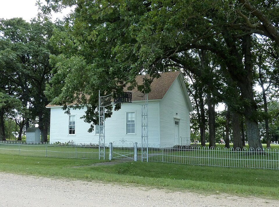
Photograph of Sterling Congregational Church
Photograph by Bobak Ha'Eri, CC BY 3.0. Via Wikimedia Commons.

Sterling Congregational Church

Listed on the National Register of Historic Places in 1980.

From the record

“Sterling Congregational Church is a historic church in Sterling Township, Blue Earth County, Minnesota, United States, built in 1867. It was listed on the National Register of Historic Places in 1980.”

Wikipedia article Sterling Congregational Church, CC BY-SA 4.0.

One of 28 National Register listings published here for Blue Earth County · listed in 1980 · category: Building.

Sources: the Wikipedia article · the case file at the National Archives · the National Register database, National Park Service
The listing

  • What is counted as historic. The nomination lists 1 building as contributing to the listing.
  • Address. CR 151, Amboy, 56065
  • When was it listed? July 1980
  • Category. building
  • Also known as. Blue Earth County MRA
  • Township. Sterling township
  • National Register reference number. 80001958 - the number the National Park Service assigned this property when it was listed, and the key its nomination file is catalogued under at the National Archives.

Storms near this property

18 since 2000

Regional context, not property-specific evidence. The National Weather Service names Amboy, the town this property stands in, in 18 storm reports between 2000 and 2026: 6 thunderstorm wind, 5 hail, 2 heavy rain, 2 tornado. No death or injury is recorded in these reports. Each account below is quoted exactly as the forecast office filed it, from the NOAA Storm Events Database, and each date opens the federal record of that event.

WhenEvent Place namedHarm What the report says
September 2010FloodAmboy$2,100,000Numerous roads were closed due to excessive rainfall that fell on September 22nd and 23th. The major areal flooding didn't recede until late Saturday when most of the small streams and creeks had crested and only mainstem rivers remained flooded.
April 2026Tornado (EF1)Amboy-The tornado moved into Blue Earth County from Watonwan County. Based on multiple storm chaser videos, ground contact was evident most of the way, but not always, as there were two or three occasions when ground circulation was not evident for one or two minutes. But some storm chaser video showed it to be entirely from the same parent circulation, hence one tornado. The tornado hit several farms. At one farm, both garage doors on either side of a house were buckled in, multiple trees were snapped or large branches broken. Two farm outbuildings had their garage doors blown out. Some shingles were also removed. Dozens of trees nearby were blown over. A small trailer was blown over 100 yards. Another farm had two small outbuildings that were destroyed and trees down or broken. The maximum wind speed was estimated at 90 mph. This was based on drone video and ground-based photos provided by the Blue Earth County Sheriff's Office.
June 2017Thunderstorm WindAmboy-Power lines were blown down on the east side of Amboy.
June 2017Thunderstorm WindAmboy-A few trees were blown down near Amboy.
June 2016Flash FloodAmboy-Several sources indicated that torrential rainfall caused roads to flood across parts of southwest and western Blue Earth County during the afternoon of Tuesday, June 14th. Road closures included 128 and 25 along Perch Creek and the Watonwan River.
May 2016Thunderstorm WindAmboy-Several large trees were snapped in half in the town of Amboy.
June 2010Thunderstorm WindAmboy-Several large tree branches were blown down near Amboy, Minnesota.
July 2010Thunderstorm WindAmboy-A large tree was uprooted near Amboy, Minnesota.
September 2010Heavy RainAmboy-A trained spotter measured 10.53 inches of rainfall between 6 pm and 8 am.
July 2008Tornado (EF0)Amboy-Very weak EF-0 tornado briefly touched down at the edge of a corn field along Blue Earth County Road 147, one half mile West of U.S. Highway 169. Damage was confined to crops.
June 2005Heavy RainAmboy-A total of 1.8 inches of rain fell in one hour.
July 2004Thunderstorm WindAmboy-Trees were downed and a roof was blown off.
April 2026HailAmboy-no account filed
April 2022HailAmboy-no account filed
July 2010Funnel CloudAmboy-no account filed
June 2007HailAmboy-no account filed
September 2000HailAmboy-no account filed
July 2000HailAmboy-no account filed

Every storm recorded in Blue Earth County

Map coverage status

No historic map-sheet match is published for this property yet. That does not mean no map exists. This record needs a coordinate-quality review before it can be joined to a sheet boundary. Browse the county's mapped places while that work is pending.

Listed places nearby

4 within 8 miles

Other National Register properties close enough to walk or drive between, ordered by distance from this one. Both positions come from the same geocoding pass that matched these properties to their map sheets.

Photograph PropertyDistance Listed
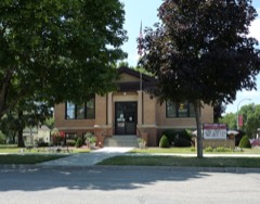
Mapleton Public Library5.4 miles2009
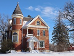
Lucas Troendle House5.5 miles1980
Main Street Commercial Buildings5.5 miles1980
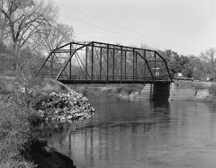
Dodd Ford Bridge6.7 miles2009

Sources for this property

National Archives recordThe nomination case file for reference 80001958 in Record Group 79.
Wikipedia articleCommunity-written account of this property, licensed CC BY-SA.
Blue Earth CountyAll 28 listed properties in this county.

Provenance

  • Listing record. National Park Service National Register of Historic Places, listed-properties dataset, current to 2026-05-22.
  • Map join. Address geocoded through the United States Census geocoder, then tested against the published boundary of every sheet in the USGS Historical Topographic Map Collection.
  • How this page is made. Listing fields come from federal records; map-sheet coverage is a labelled coordinate-to-boundary calculation, not a source-field claim.
  • Storms. NOAA National Centers for Environmental Information, Storm Events Database https://www.ncei.noaa.gov/stormevents/ A work of the United States government, no copyright under 17 U.S.C. 105. Narratives are quoted verbatim from the National Weather Service report and are not edited or summarised.