 Block
From the record
One of 35 National Register listings published here for Carver County · listed in 1980 · category: Building.
Sources: the case file at the National Archives · the National Register database, National Park Service
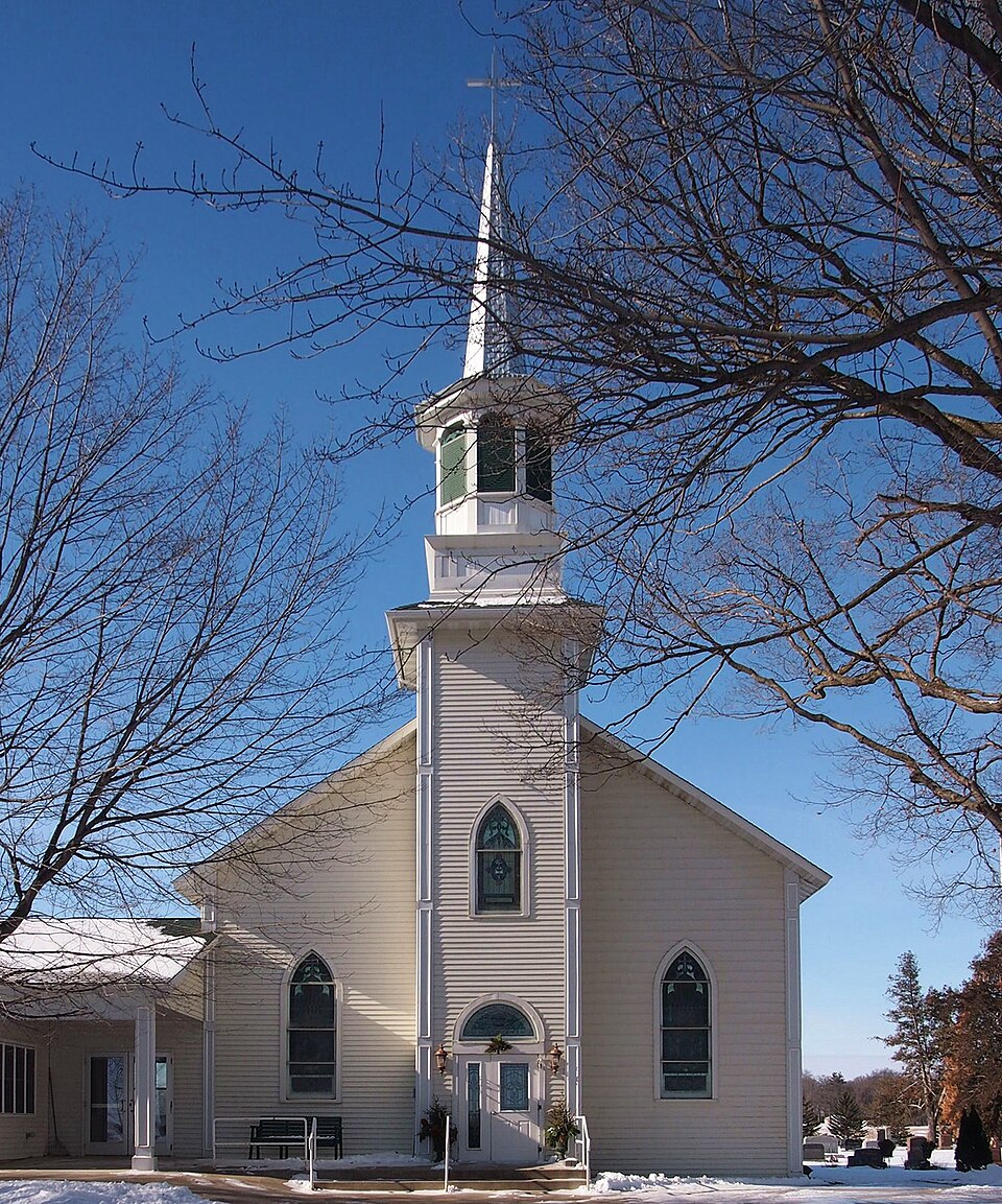
Listed on the National Register of Historic Places in 1980.
One of 35 National Register listings published here for Carver County · listed in 1980 · category: Building.
Sources: the case file at the National Archives · the National Register database, National Park Service
Regional context, not property-specific evidence. The National Weather Service names Cologne, the town this property stands in, in 20 storm reports between 1996 and 2022: 10 hail, 6 thunderstorm wind, 2 flash flood, 1 tornado. No death or injury is recorded in these reports. Each account below is quoted exactly as the forecast office filed it, from the NOAA Storm Events Database, and each date opens the federal record of that event.
| When | Event | Place named | Harm | What the report says |
|---|---|---|---|---|
| May 2022 | Thunderstorm Wind | Cologne | $25,000 | There were multiple trees and power lines blown down near Cologne. |
| May 2012 | Heavy Rain | Cologne | - | A local observer measured 4.20 inches in the last 24 hours. |
| June 2012 | Flash Flood | Cologne | - | Due to approximately 3.5 inches of rainfall during a short period of time, Maplewood Road in Dahlgren Township, between Market Ave and County Road 41 was closed due to a culvert wash-out. |
| August 2010 | Flash Flood | Cologne | - | Several inches of rain fell across a large portion of Carver County between 1 and 4 AM CST. Some areas in the town of Cologne, Minnesota had 12 inches of flowing water over its streets during the height of the storm. |
| June 2006 | Thunderstorm Wind | Cologne | - | Small trees down. Several branches four inches in diameter felled. Pea size hail also reported. |
| May 2004 | Thunderstorm Wind | Cologne | - | Heavy debris was reported in the air near the county maintenance building between Norwood and Cologne along Route 212. |
| August 2002 | Thunderstorm Wind | Cologne | - | Scattered trees down. |
| July 1997 | Thunderstorm Wind | Cologne | - | Large branches down. Estimated windspeed. |
| May 2012 | Hail | Cologne | - | no account filed |
| August 2011 | Hail | Cologne | - | no account filed |
| June 2007 | Hail | Cologne | - | no account filed |
| June 2007 | Hail | Cologne | - | no account filed |
| April 2006 | Hail | Cologne | - | no account filed |
| April 2006 | Hail | Cologne | - | no account filed |
| September 2005 | Hail | Cologne | - | no account filed |
| April 2004 | Hail | Cologne | - | no account filed |
| May 2001 | Hail | Cologne | - | no account filed |
| May 1998 | Hail | Cologne | - | no account filed |
| May 1998 | Thunderstorm Wind | Cologne | - | no account filed |
| October 1996 | Tornado (F0) | Cologne | - | no account filed |
No historic map-sheet match is published for this property yet. That does not mean no map exists. This record needs a coordinate-quality review before it can be joined to a sheet boundary. Browse the county's mapped places while that work is pending.
Other National Register properties close enough to walk or drive between, ordered by distance from this one. Both positions come from the same geocoding pass that matched these properties to their map sheets.
| Photograph | Property | Distance | Listed |
|---|---|---|---|
| J. Carsten and Magaretha Harms Farmhouse | 3.1 miles | 2013 | |
| District No. 22 School | 3.5 miles | 2021 | |
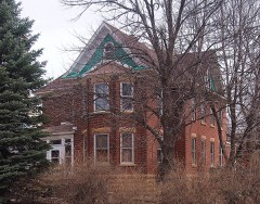 | John Knotz House | 3.6 miles | 1980 |
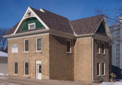 | Philip Guettler House | 3.7 miles | 1980 |
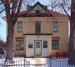 | Paul Mohrbacher House | 3.7 miles | 1980 |
| King Oscar's Settlement | 4.7 miles | 1980 |
| National Archives record | The nomination case file for reference 80001987 in Record Group 79. |
| Carver County | All 35 listed properties in this county. |