 Block
Ballwin, Missouri
29 topographic sheets cover this place, the earliest surveyed in 1903 and the latest in 1985. It stands in Lafayette Township. It lies in ZIP code area 63011. The Survey maps it on the Manchester quadrangle. 31,103 people lived here at the 2020 count. It stands 630 feet above sea level.
Population over time
2 figuresBallwin grew from 30,404 to 31,103 between 2010 and 2020. These are the recorded population figures Wikidata holds for this place, reached through the Geographic Names Information System number this page is keyed on rather than by name, so they belong to this place and not to another of the same name. Most are census counts, but not all are: an early figure may be a founding or settlement estimate, and an estimate published within five years of a census is left out. The change column is computed, and is left blank where more than 20 years separate a figure from the one before it, because a gap that long is not a change between two counts.
| Year | People | Change |
|---|---|---|
| 2010 | 30,404 | |
| 2020 | 31,103 | +699 (+2%) |
Topographic sheets covering this place
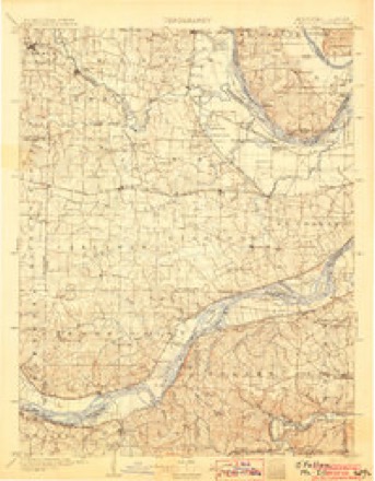
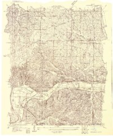
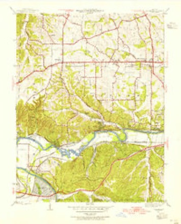
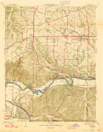
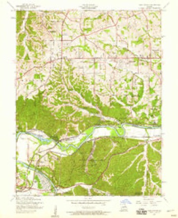
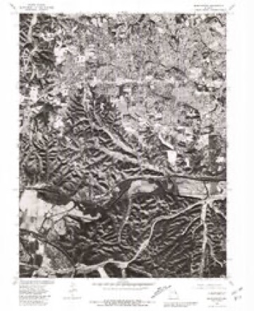
12 surveys from 29 printed sheetsMatched by testing this settlement's coordinate against the published boundary of every sheet in the United States Geological Survey's historical collection. Each opens the scanned sheet at the Survey.
- 1903 USGS O'Fallon quadrangle1:125000, 5 printings
- 1931 USGS Manchester SE quadrangle1:24000
- 1945 USGS Manchester quadrangle1:24000
- 1947 USGS Manchester quadrangle1:24000, 2 printings
- 1949 USGS Saint Louis quadrangle1:250000
- 1949 USGS St. Louis quadrangle1:250000
- 1954 USGS Manchester quadrangle1:24000, 8 printings
- 1962 USGS St. Louis quadrangle1:250000
- 1963 USGS St. Louis quadrangle1:250000, 4 printings
- 1966 USGS St. Louis quadrangle1:250000
- 1979 USGS Manchester quadrangle1:24000
- 1985 USGS St Louis quadrangle1:100000, 3 printings






Mines and quarries near this place
10 of 16 shownRegional context, not property-specific evidence. The federal mineral resources record lists 16 workings within 5 miles of Ballwin: 16 past producers. None of them still produces. What was taken out: Stone, Crushed/Broken, Sand and Gravel, Construction, Fire Clay (Refractory). Distance is straight-line from the map coordinates, so a quarry counted here may appear on a neighbouring settlement's page as well.
| Where | Site | Commodity | Status | Recorded |
|---|---|---|---|---|
| Unknown - Clay | Fire Clay (Refractory) | Past Producer | ||
| Unknown - S&G | Sand and Gravel, Construction | Past Producer | ||
| Unknown - S&G | Sand and Gravel, Construction | Past Producer | ||
| Unknown - S&G | Sand and Gravel, Construction | Past Producer | ||
| Unknown - S&G | Sand and Gravel, Construction | Past Producer | ||
| Kempf Quarry | Stone, Crushed/Broken | Past Producer | ||
| Unknown - Ls | Stone, Crushed/Broken | Past Producer | ||
| Unknown - Ls | Stone, Crushed/Broken | Past Producer | ||
| Unknown - Ls | Stone, Crushed/Broken | Past Producer | ||
| Unknown - Ls | Stone, Crushed/Broken | Past Producer |
Storms near this place
28 since 1993Regional context, not property-specific evidence. The National Weather Service names Ballwin in 28 storm reports between 1993 and 2026: 16 hail, 10 thunderstorm wind, 1 lightning, 1 tornado. The reports record 1 death and 1 injury. Each account below is quoted exactly as the forecast office filed it, from the NOAA Storm Events Database, and each date opens the federal record of that event.
| When | Event | Place named | Harm | What the report says |
|---|---|---|---|---|
| April 2006 | Thunderstorm Wind | Ballwin | 1 killed | A man was killed while hiking in Castlewood State park when he was hit by a large tree branch broken by thunderstorm winds. |
| June 2012 | Hail | Ballwin | 1 hurt | Large hail up to ping pong ball size fell across Ballwin. An eleven year old girl sustained minor injuries to her head and arm due to the large hail. |
| July 2002 | Lightning | Ballwin | $200,000 | A lighting strike caused a fire which destroyed a 2 story home in an unincorporated area of St. Louis County just west of Ballwin. No one was home at the time of the fire. |
| October 2001 | Hail | Ballwin | $100,000 | no account filed |
| February 1999 | Hail | Ballwin | $50,000 | no account filed |
| June 2022 | Thunderstorm Wind | Ballwin | $30,000 | Widespread wind damage across the southern portions of St. Louis County. Numerous trees, tree limbs and power lines were blown down in Ballwin, Kirkwood, Sunset Hills, Glendale, Lemay, and Oakville. |
| April 2023 | Thunderstorm Wind | Ballwin | $10,000 | Thunderstorm winds blew a large section of windows down at The Pointe, Ballwin Parks & Recreation center. This section of windows was by the giant indoor slide area of the indoor pool. Glass blew over into the pool. No one was killed or injured by this. |
| May 1993 | Hail | Ballwin | $5,000 | One inch diameter hail was covering the ground in Ballwin at 1735 CST. Reported by amateur radio operators and storm spotters. |
| April 2026 | Thunderstorm Wind | Ballwin | - | Thunderstorm winds caused a large tree limb to fall onto a house. |
| April 2011 | Hail | Ballwin | - | A swath of one inch hail fell from Ballwin and points east through Manchester, Des Peres and Kirkwood. |
| December 2010 | Tornado (EF1) | Ballwin | - | The tornado touched down just northwest of the intersection of Manchester Road and Birchwood Drive. The tornado traveled to the northeast around 45 mph crossing Kehrs Mill Road, passing through the east side of the Ballwin Golf Course, then crossing Holloway Road and Baxter Road. The tornado lifted just east of the intersection of Brass Lamp Drive and Morewood Court. There were numerous occurrences of tree damage along the tornado path including snapped trees and tree branches as well as uprooted trees. Nearly three dozen homes sustained damage, although the vast majority of this damage was superficial consisting of damaged fascia, soffit and missing/damaged shingles. |
| May 2008 | Hail | Ballwin | - | Storm spotters reported hail ranging from pea to one inch fell for 15 minutes. |
| July 2007 | Hail | Ballwin | - | Strom spotters reported hail up to 1 1/4 inch. |
| August 2004 | Thunderstorm Wind | Ballwin | - | Emergency management personnel reported 6 to 8 inch diameter trees down. |
| July 2002 | Thunderstorm Wind | Ballwin | - | Amateur radio spotters reported several trees and power lines down in Wildwood. |
| April 1994 | Hail | Ballwin | - | Quarter-size hail was reported by SKYWARN weather spotters. |
| May 1993 | Hail | Ballwin | - | One inch diameter hail was covering the ground in Ballwin at 1735 CST. Reported by amateur radio operators and storm spotters. |
| May 1993 | Hail | Ballwin | - | One inch diameter hail was covering the ground in Ballwin at 1735 CST. Reported by amateur radio operators and storm spotters. |
| June 2023 | Hail | Ballwin | - | no account filed |
| December 2021 | Hail | Ballwin | - | no account filed |
| September 2014 | Hail | Ballwin | - | no account filed |
| April 2014 | Hail | Ballwin | - | no account filed |
| June 2006 | Hail | Ballwin | - | no account filed |
| August 2005 | Thunderstorm Wind | Ballwin | - | no account filed |
| May 2004 | Thunderstorm Wind | Ballwin | - | no account filed |
| May 2004 | Hail | Ballwin | - | no account filed |
| July 2004 | Thunderstorm Wind | Ballwin | - | no account filed |
| July 2002 | Thunderstorm Wind | Ballwin | - | no account filed |
Nearest settlements
The eight closest, with where each one stands in the county. Distances are straight-line, computed from the Geographic Names Information System coordinates.
| Map | Place | Distance | Sheets |
|---|---|---|---|
| Winchester | 1.0 miles | 29 | |
| Loehr | 1.4 miles | 29 | |
| Manchester | 2.0 miles | 29 | |
| Ellisville | 2.2 miles | 29 | |
| Clarkson Valley | 2.8 miles | 29 | |
| Fern Glen | 3.1 miles | 29 | |
| Mountain Ridge | 3.1 miles | 29 | |
| Castlewood | 3.1 miles | 29 |
Elsewhere
Matched on this settlement's Geographic Names Information System number rather than its name, so it cannot be a different place of the same name in another state.
| Wikipedia article on Ballwin | An encyclopaedic summary. Its text is share-alike, so it is linked here rather than copied. |
| Wikidata item Q805392 | The structured record the population and elevation above come from. Public domain (CC0). |
Provenance
This settlement is recorded in the Geographic Names Information System as feature 755721. The sheet list is computed by point-in-boundary test against the United States Geological Survey's historical topographic inventory. Both are works of the United States government and carry no copyright under 17 U.S.C. 105.
Mines and quarries. USGS Mineral Resources Data System (MRDS) https://mrdata.usgs.gov/mrds/ A work of the United States government, no copyright under 17 U.S.C. 105.
Storms. NOAA National Centers for Environmental Information, Storm Events Database https://www.ncei.noaa.gov/stormevents/ A work of the United States government, no copyright under 17 U.S.C. 105. Narratives are quoted verbatim from the National Weather Service report and are not edited or summarised.