Block
From the record
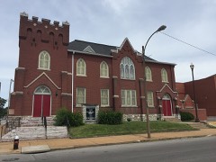
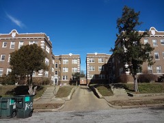
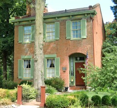
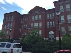
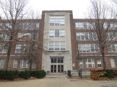
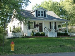
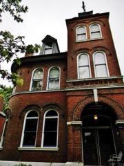
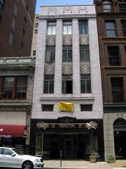
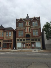
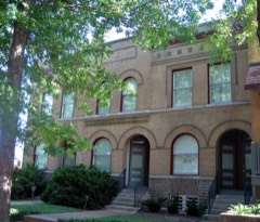
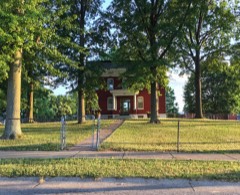
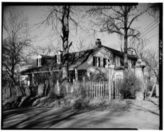
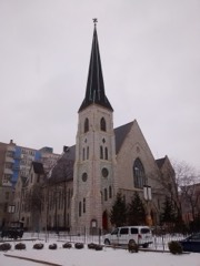
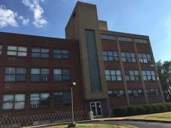
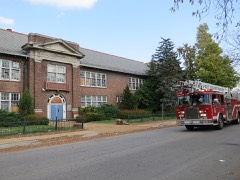
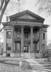
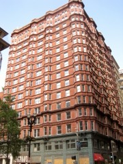
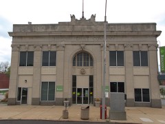
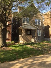
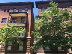
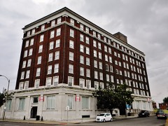
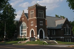
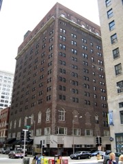
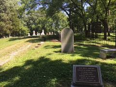
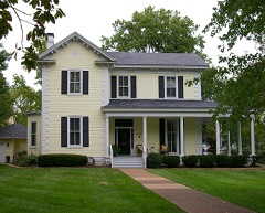
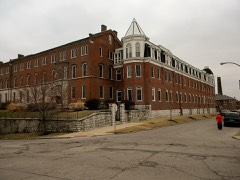
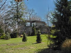
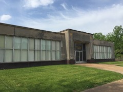
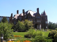
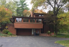
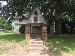
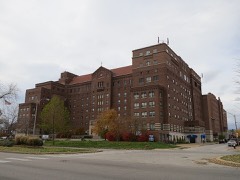
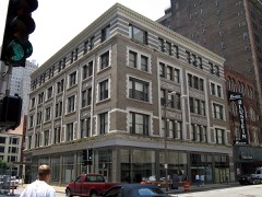
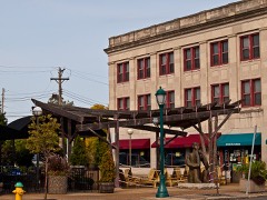
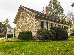
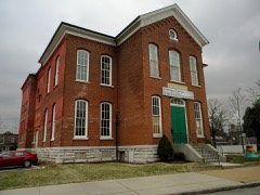
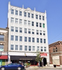
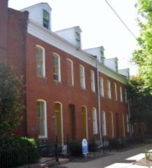
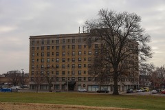
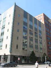
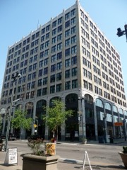
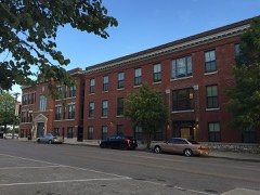
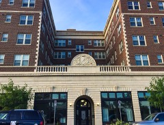
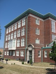
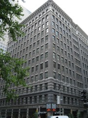
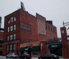
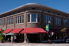
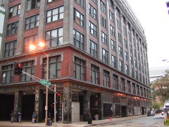
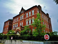
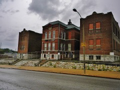
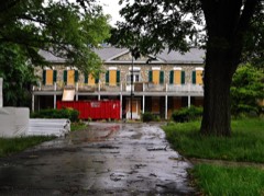
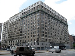
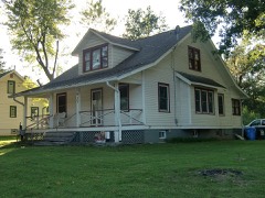
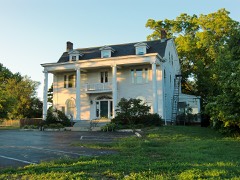
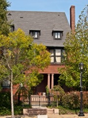
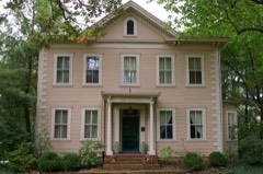
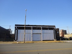
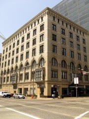
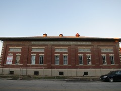
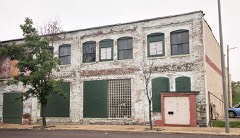
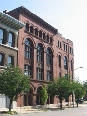
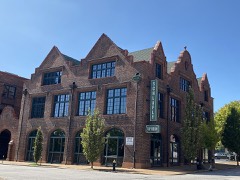
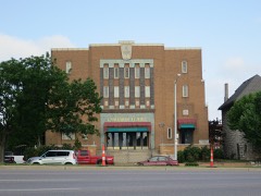
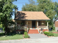
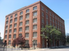
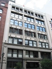
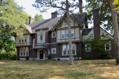
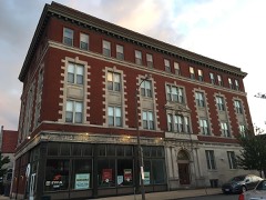
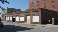
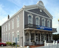
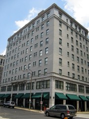
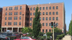
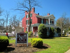
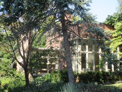
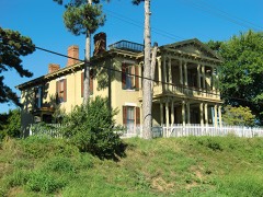
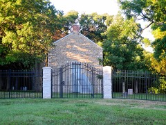
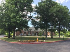
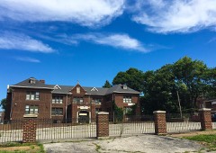
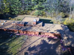
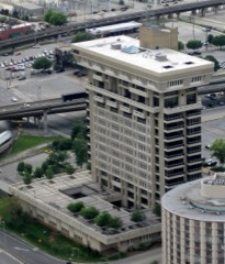
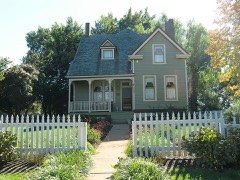
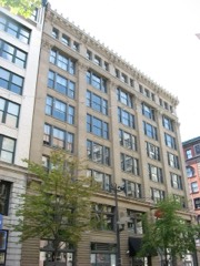
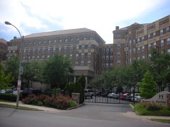
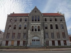
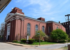
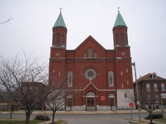
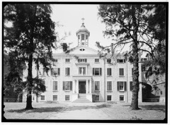
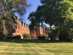
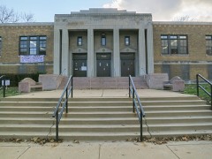
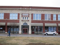
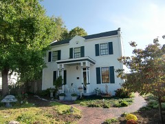
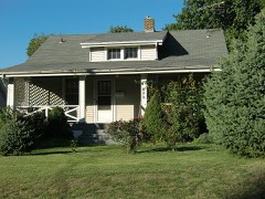
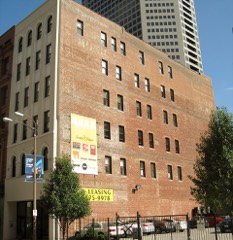
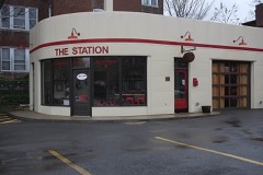
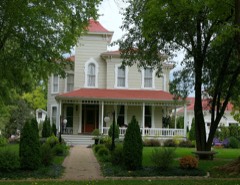
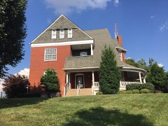
663 National Register listings published here, 13 of them National Historic Landmarks.
Sources: the National Register database, National Park Service
192 topographic sheets cover 175 settlements here, and 663 properties are on the National Register of Historic Places.
663 National Register listings published here, 13 of them National Historic Landmarks.
Sources: the National Register database, National Park Service
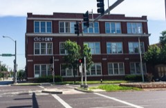
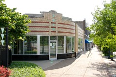
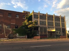
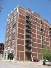
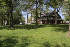
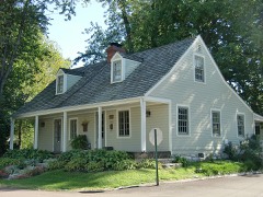
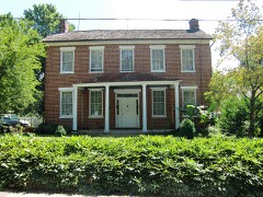
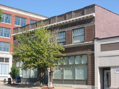
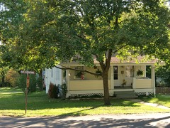
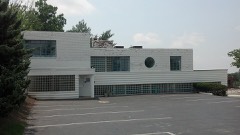
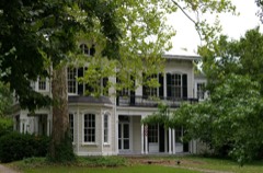
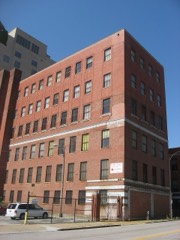
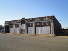
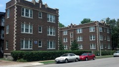
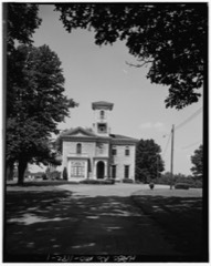
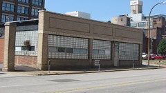
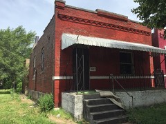
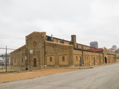
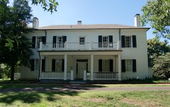
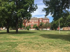
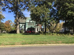
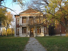
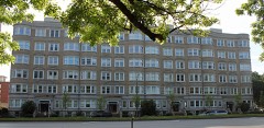
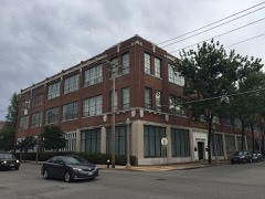
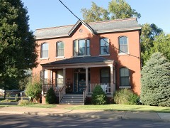
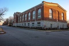
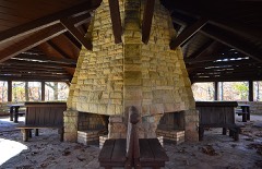
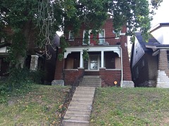
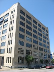
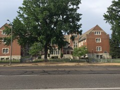
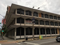
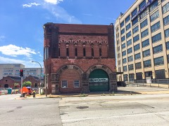
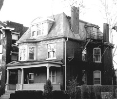
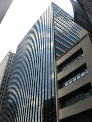
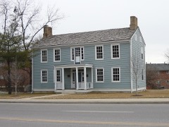
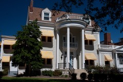
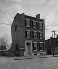
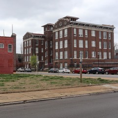
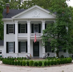
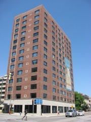
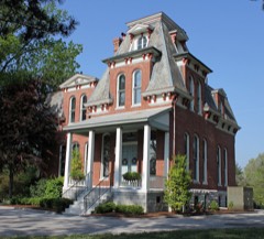
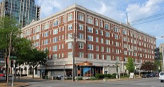
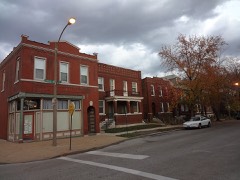
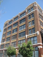
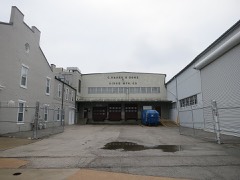
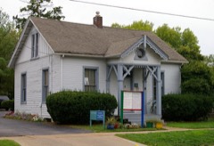
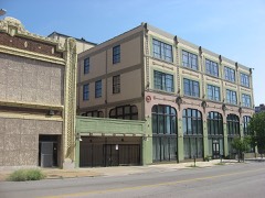
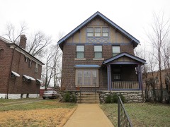
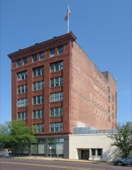
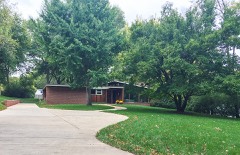
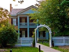
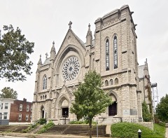
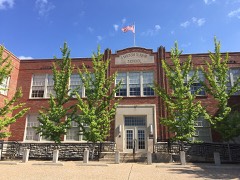
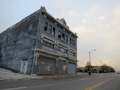
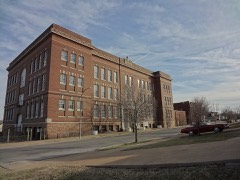
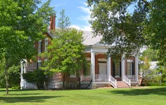
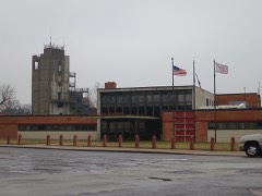
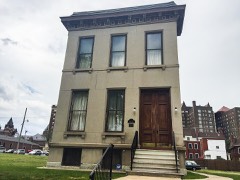
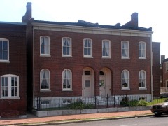
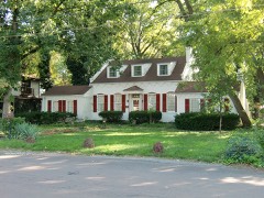
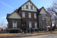
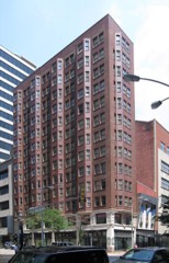
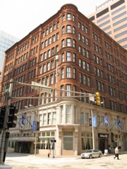
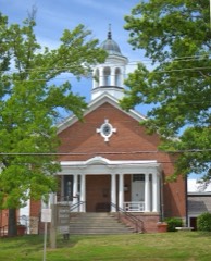
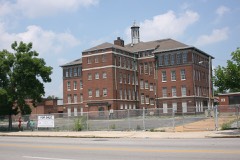
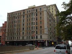
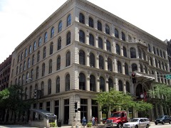
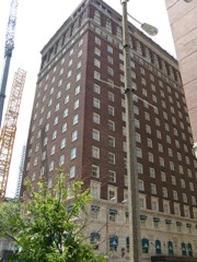
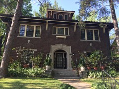
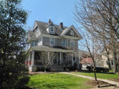
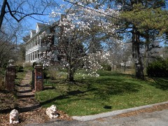
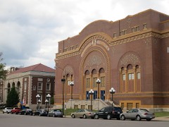
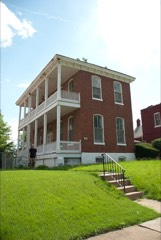
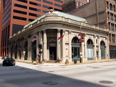
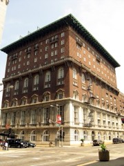
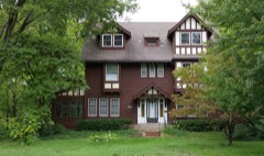
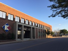
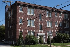
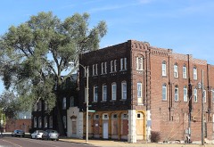
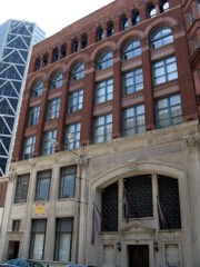
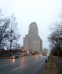
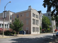
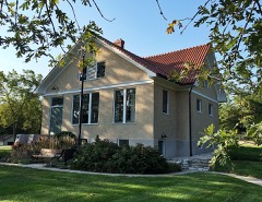
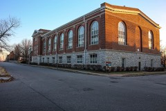
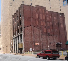
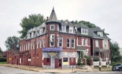
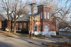
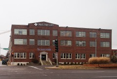
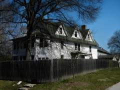
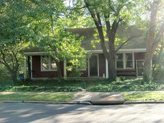
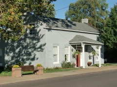
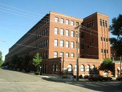
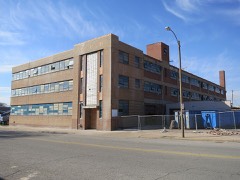
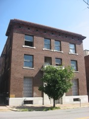
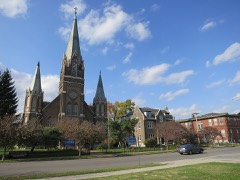
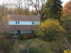
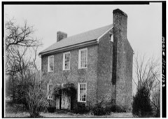
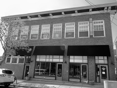
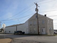
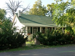
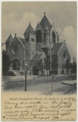
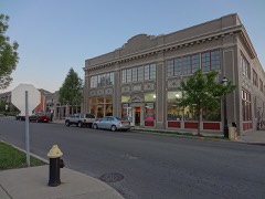
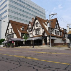
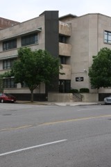
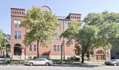
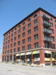
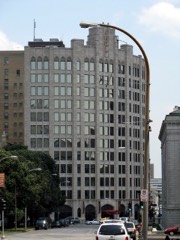
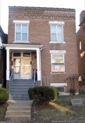
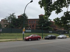
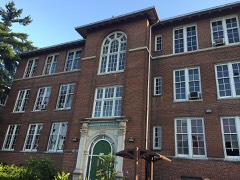
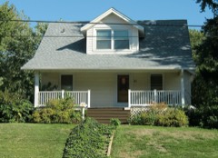
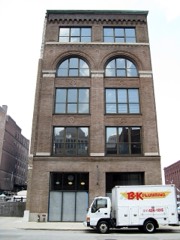
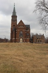
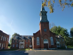
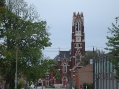
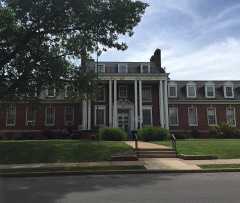
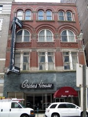
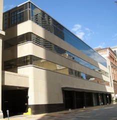
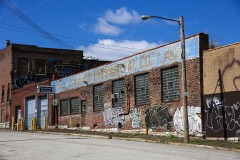
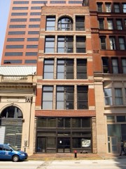
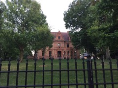
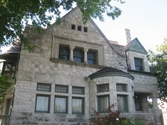
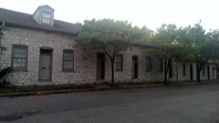
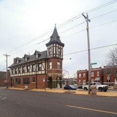
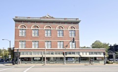
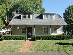
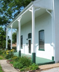
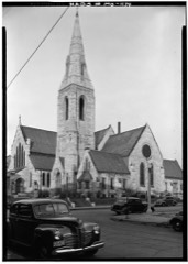
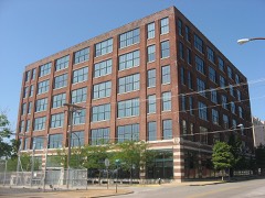
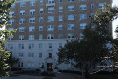
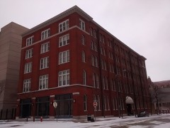
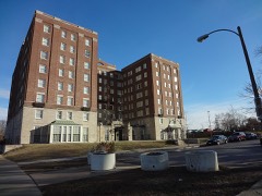
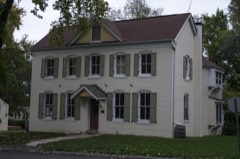
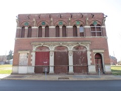
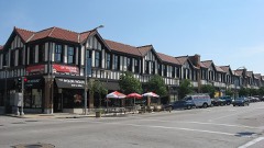
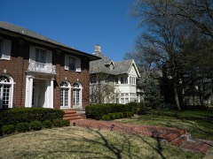
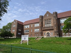
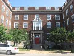
Every property in this county listed on the National Register of Historic Places, with the year it was listed and the federal nomination document.
Every wildfire the federal occurrence database records inside this county: 23 of them, burning about 28 acres. None started naturally and none was recorded as arson. Each settlement page carries the fires within five miles of it.
| Reported cause | Fires |
|---|---|
| Debris and open burning | 13 |
| Missing data/not specified/undetermined | 6 |
| Recreation and ceremony | 2 |
| Equipment and vehicle use | 1 |
| Railroad operations and maintenance | 1 |
The five largest, by the area the report gives. None of them was recorded as arson.
| Date | Cause | Size | Reported by | Name on the report |
|---|---|---|---|---|
| 8 March 2003 | Debris and open burning | 6.0 acres | Missouri State Fire Marshal's Office | not named |
| 24 March 2003 | Recreation and ceremony | 2.0 acres | Missouri State Fire Marshal's Office | not named |
| 17 March 2014 | Debris and open burning | 1.5 acres | Missouri Department of Conservation | not named |
| 28 February 2014 | Debris and open burning | 1.0 acres | Missouri Department of Conservation | not named |
| 12 November 2011 | Recreation and ceremony | 1.0 acres | Missouri Department of Conservation | not named |
| 20 March 2014 | Equipment and vehicle use | 1.0 acres | Missouri Department of Conservation | not named |
| 21 May 2014 | Railroad operations and maintenance | 1.0 acres | Missouri Department of Conservation | not named |
| 30 March 2014 | Debris and open burning | 1.0 acres | Missouri Department of Conservation | not named |
Every settlement page carries the fires within five miles of it - see the settlement index below.
The NOAA Storm Events Database holds 1,454 reports for this county, causing 29 deaths, 436 injuries and about $1,478,790,380 in recorded property damage. Each settlement page carries the reports that name it.
| Kind of event | Reports |
|---|---|
| Hail | 660 |
| Thunderstorm Wind | 632 |
| Flash Flood | 68 |
| Tornado | 57 |
| Lightning | 16 |
| Flood | 13 |
| Heavy Rain | 8 |
The most serious of them, by death, then injury, then recorded damage. The accounts are quoted exactly as the forecast office filed them.
| When | Event | Place named | Harm | What the report says |
|---|---|---|---|---|
| February 1959 | Tornado (F4) | not stated | 10 killed, 170 hurt, $25,000,000 | no account filed |
| January 1967 | Tornado (F4) | not stated | 3 killed, 216 hurt, $25,000,000 | no account filed |
| September 2008 | Flash Flood | Clayton | 3 killed | The remnants of Hurricane Ike moved through the midwest dumping between 3 and 6 inches of rain in just under 6 hours on already saturated soils. This caused widespread flash flooding over St. Louis County. One of the hardest hit areas was University City. Two people drowned in University City when trying to move their vehicles away from the rising flood waters. Another person was killed when a large tree limb that was struck by lightning fell on her in Ladue. Other areas affected by the flash flooding were Hazelwood, Ferguson, Brentwood, Maplewood, Rock Hill, Webster Groves, and Florissant. Over 600 homes, apartments and business were affected by the flooding. Numerous water rescues had to be performed when people drove their vehicles into flooded roadways and became stuck in the flood waters. |
| November 2024 | Flash Flood | Brentwood | 2 killed, $200,000 | Heavy rain caused numerous road closures with vehicles stranded in St. Louis County. Multiple water rescues were reported from cars driving through flooded roadways. At Bayless and I-55, flash flooding from heavy rain and overflow from Gravois Creek resulted in two fatalities. |
| December 2010 | Tornado (EF3) | St Louis Weiss Arpt | 1 killed, 6 hurt, $1,000,000 | The tornado's second touchdown occurred at the Jefferson, St. Louis County Line at Delmar Gardens on Arbor Terrace. Small trees and minor roof damage occurred at Delmar Gardens. The damage path was 50 yards wide and rated EF0.||The tornado continued to skip northeast along Highway 30, in St. Louis County, through a large subdivision in which many homes sustained minor roof and tree damage, however three homes on the east end of the subdivision sustained both siding damage and a greater degree of roof damage. The width of the damage area was 100 yards. Damage intensity over much of the subdivision was EF0, except for the three homes, this damage intensity was rated EF1.||The tornado crossed Highway 141 just north of Highway 30. A 2007 Honda CR-V was driving northbound on Highway 141 when the tornado picked it up and slammed it sideways into a wall along the highway. The occupant, a 70 year old woman, sustained major injuries and died about eleven days later from her injuries. The tornado then hit a church, elementary school and parsonage, which sustained various degrees of damage with the parsonage having the highest degree of damage. Most of the roof was removed and one wall collapsed. Three trees sustained substantial damage in which one tree was partially debarked. Damage intensity was rated EF2 while the damage width was 100 yards.||The tornado moved through the Fenton City Park and crossed the Meramec River half mile north of Highway 30. Much of the tree damage was minor over this area. The tornado paralleled Watson Road and crossed it near Bond Road where three separate large trees damaged a house, vehicle and garage.||The tornado continued northeast and crossed Interstate 270, two miles southeast of Interstate 44. Just east of I-270 the tornado paralleled Old Watson Road in which an intermittent path of damage was observed. One home northeast of I-270 sustained minor roof damage and a second home further northeast experienced shingle and tree damage. The damage over this area was rated EF1 while the damage width was 50 yards.||At approximately 11:56 AM the tornado rapidly intensified as it neared Lindbergh Blvd. Many trees in Watson Trail Park were snapped or uprooted. Seven homes along Old Watson Road sustained varying degrees of damage. Peak intensity was EF3 with 145 mph winds. Two homes had the roofs removed and most of the exterior walls collapsed.||Several homes along Court Drive sustained significant damage. The worst damage occurred on the east end of Court Drive in which four homes had large portions of the roof removed and one had several walls collapsed. Damage intensity was rated EF3 with wind speeds near 150 mph.||On Lindbergh Blvd, one home was completely demolished and moved less than 50 yards from the foundation. A brick veneer garage was also destroyed by the tornado. Further north on Lindbergh a medical facility also sustained heavy damage. Damage over this area was rated EF3, but the demolished home was rated high-end EF3. Damage over this area was a quarter of a mile wide.||The tornado crossed Lindbergh near Court Drive and crossed over a strip mall. Two cars and a delivery truck were tipped over in the parking lot. Several windows were blown in on the stores in the strip mall and a greenhouse behind and adjacent to the mall suffered roof and water pipe damage. The tornado made a turn to the east-northeast and crossed the east end of Woodfox Drive. About a dozen pine trees along the east end of Woodfox Drive were blown over, all lying to the north. Eight homes on Woodfox Drive suffered roof damage and several trees were either pushed over or snapped off about halfway up the trunk. The tornado crossed Woodpark Drive were it caused roof damage to three more homes and downed a large oak tree. One home had the roof lifted and partially removed. The damage path width from Woodfox to Woodpark was 300 yards wide and was rated EF1.||The tornado then turned a bit to the northeast and crossed Eggeling Lane and Gladlea Drive. On Eggeling Lane, four homes suffered roof damage and several trees were downed. On Gladlea Drive, three homes suffered roof damage and several more trees were downed. This damage path was 150 yards wide and rated EF0. The tornado crossed East Watson between Lynn Lane, Watson Woods Court, and Kathy Court. On Lynn Lane, a couple of trees were snapped off and two homes suffered roof damage and had windows blown in. This portion of the damage path was 100 yards wide and rated EF1.||The tornado crossed over Kathy Court and Fern Glen Drive. Some large tree branches were broken which took down some power lines. This damage was rated EF0 and the damage path was 100 yards wide.||The tornado continued northeast and crossed the area near Maebern Terrace, Sturdy Drive and Crestwood Lane. At Sturdy and Maebern Terrace, two homes suffered roof damage with one home having the roof lifted and partially removed. A couple of large trees were also downed in this area. This damage was EF1 and 100 yards wide. The tornado continued northeast to Watson Road with minor tree and roof damage noted. Six power poles were pushed over along Watson Road. The tornado continued northeast with additional damage to trees and roofs until it weakened and lifted at the intersection of Rayburn Avenue and S. Sappington Road. |
| July 2022 | Flash Flood | (Sus)Spirit/St Louis | 1 killed, $50,000,000 | Up to 10 inches of rain fell in a period of 8 hours causing catastrophic flooding in portions of St. Louis County. Numerous roads were flooded. There were multiple swift water rescues and scores of flooded interstates and homes across the St. Louis metropolitan area. One fatality was reported in Hazelwood where a 39 year old man drowned attempting to flee his flooded truck. His body was found about half a mile down stream from the semi truck. St. Louis-Lambert International Airport also observed a new all-time record for daily precipitation: 8.64 of rain fell since midnight Central Standard Time (Daylight Savings Time is not used for climatological record-keeping). This value broke the previous record of 6.85, which occurred on August 20th, 1915 due to the remnants of the Galveston 1915 Hurricane. The storm-total rainfall was 9.07, but spans two days. Several hundred homes and businesses sustained minor to major flood damage. A large number of unoccupied vehicles were damaged/destroyed due to the flooding as well. Dollar amount damage so far is estimated around $50 million. |
| May 2004 | Tornado (F1) | Berkeley | 1 killed, $100,000 | A tornado formed near I-170 and Frost Avenue in Berkeley causing F1 damage to the roof of a business and several apartment buildings. On Frost Avenue, a 15 inch branch from an elm tree fell on a SUV killing the driver. The tornado weakened and caused mainly tree top damage as it moved east northeast The tornado crossed New Florissant Road and entered Calverton Park where several large trees and power lines were downed. The tornado dissipated as it approached North Elizabeth Avenue. |
| August 1996 | Flash Flood | Countywide | 1 killed, $65,000 | no account filed |
| May 2025 | Thunderstorm Wind | Gravois | 1 killed | A man was driving on Grand Drive in Carondelet Park when a tree was uprooted and collapsed on his truck. He was killed instantly. This was not due to the tornado but possibly from rear flank downdraft winds on the south side of the supercell. |
| July 2023 | Thunderstorm Wind | South Bellefontaine | 1 killed | Widespread wind damage across the northern portions of St. Louis County as a line of storms moved through. Numerous large trees, tree limbs, power poles and power lines were blown down. In Jennings, a very large tree was snapped off (possibly due to a lightning strike) and landed on a home, crushing a 5 year old boy in his bedroom. He was rescued and taken to a nearby hospital, but was pronounced dead soon after. The house next door sustained major roof damage from this large tree as well. A large tree branch, approximately two feet in diameter, was blown down onto an unoccupied car just east of Chesterfield. In Kirkwood, a large tree was uprooted and as it fell it damaged the corner of a home. Otherwise, widespread tree damage was reported in St. Ann, Clayton, University City, Creve Coeur, Overland, Florissant, Black Jack and Spanish Lake. Over 100,000 customers (St. Louis County/St. Louis City) were without power due to this storm. It took a little over 4 days to restore power to all of them. |
| June 2010 | Lightning | Country Club Hills | 1 killed | A letter carrier, who took shelter under a large sweetgum tree, was struck by lightning around 115 pm in the 9700 block of Venice Drive in Ferguson as storms moved through the metro area. She was pronounced dead 45 minutes later at a local hospital. |
| April 2007 | Lightning | University City | 1 killed | A 25 year old man was struck by lightning near the intersection of Columbia and Radcliffe Avenues in University City. He died from the lightning strike 5 days later on April 29th. |
| July 2007 | Lightning | Florissant | 1 killed | A 25 year old man was killed by a lightning strike while he was walking along the 1800 block of North New Florissant Road. |
| April 2006 | Thunderstorm Wind | Ballwin | 1 killed | A man was killed while hiking in Castlewood State park when he was hit by a large tree branch broken by thunderstorm winds. |
| June 2002 | Lightning | Fenton | 1 killed | A 44 year old man was struck by lightning at Fenton Park while preparing for a softball game. He fell into a coma and died on July 27, 2002. |
| April 1980 | Tornado (F3) | not stated | 15 hurt, $2,500,000 | no account filed |
| April 2011 | Tornado (EF4) | Vigus | 5 hurt, $250,000,000 | During the evening of Friday April 22nd, an intense supercell thunderstorm produced a long-track tornado which tore a path of destruction from west to east across the St. Louis Metropolitan Area, from St. Louis County Missouri eastward through the far northern portions of the City of St. Louis, then across the Mississippi River into Madison County Illinois. The tornado reached a maximum intensity of EF4 on the Enhanced Fujita Scale as it tracked through the community of Bridgeton, just west of Lambert St. Louis International Airport, in St. Louis County. The total path length was 21.3 miles, with a width of up to half a mile.||The tornado initially touched down along the northern edge of Creve Coeur Lake at approximately 759 pm. It tracked nearly due east at about 40 mph, and intensified as it entered Maryland Heights. There it produced up to EF3 damage to many homes and businesses with a damage swath of 200 to 400 yards wide. Damage continued eastward in an unbroken track, crossing I-270 about 1 mile south of I-70. The tornado reached peak intensity of EF4 as it devastated the community of Bridgeton along Old St. Charles Road. From there the tornado paralleled Interstate 70 through the community of St. Ann, and then took aim directly on Lambert-St. Louis International Airport. Many of the large windows in the main terminal building were blown out or damaged by flying debris and a large section of roof was peeled from Concourse C. Although the vast majority of people were evacuated to lower levels and to interior rooms before the tornado hit, five people were treated and released from area hospitals for injuries due to flying debris. The airport was closed due to the extensive damage. Damage at the airport was estimated to be between $35 to 40 million.| |The tornado exited Lambert-St. Louis International Airport crossing near the McDonnell Boulevard/Harmon Lane intersection. It then moved into Berkeley where it crossed Interstate 170 between Airport Road and Scudder Avenue. Extensive damage was noted along Fourth Avenue, especially at the Garfield Avenue and Hancock Avenue intersections where a vacant house and several homes lost their entire roof structure. The greatest damage in this neighborhood was rated EF2. The tornado continued to the northeast through neighborhoods south of Airport Road producing significant tree damage including many large trees falling on homes. The tornado then crossed Airport Road near Abston Street. The tornado crossed North Florissant Road where it caused extensive roof damage to the Newger Materials building and the First Baptist Church of Ferguson. Across the road, a Little Caesars Restaurant lost its entire roof. Damage to these structures was rated EF1. The tornado then continued through neighborhoods along and just the north of Hereford Avenue/Chambers Road where it continued to cause extensive tree damage as well as additional partial roof damage to homes along the path toward West Florissant Road. Also along this part of its path, it partially removed the roof at the Griffith Elementary School which was rated as EF1. This is also where the tornado widened to one quarter of a mile with damage noted to trees and some homes on both sides of Chambers Road. Along the entire path from Berkeley to Dellwood, damage varied in intensity from EF1 to low end EF2 with a maximum estimated wind speed of 120 mph, and included numerous snapped power poles in addition to the extensive number of snapped and downed trees.||EF2 damage was uncovered at three different locations east of Dellwood. One area was located one quarter mile south of Chambers Road on Halls Ferry Road where four large utility poles were snapped. The second area of EF2 damage was located a quarter of a mile south of Chambers Road along Bellefontaine Road where significant tree damage occurred. The last area of damage was located in Bellefontaine Neighbors just south of Chambers Road on La Roux Court. Roofs were removed from three homes at this location, while other homes sustained varying degrees of damage. The width of the damage area varies from 100 yards to four tenths of a mile with the widest area of damage east of Halls Ferry and south of Chambers Road. ||The tornadic damage continued as the tornado traveled eastward south of Chambers road, crossing into the far northern portions of the city of St. Louis. The majority of the damage in this area was rated EF1 due to fallen trees. Some of these trees fell on homes while a few others fell through homes causing damage not directly relating to the intensity of the wind within the tornado. ||Overall, in St. Louis County, 233 structures (homes and businesses) sustained major damage, 776 structures sustained moderate damage, and 1,487 structures sustained minor damage. Estimated dollar amount damage is $250 million. |
| March 1975 | Tornado (F2) | not stated | 4 hurt, $250,000 | no account filed |
| January 1950 | Tornado (F3) | not stated | 3 hurt, $2,500,000 | no account filed |
| May 2010 | Lightning | Arbor Terrace | 3 hurt | Three people were struck by lightning in the parking lot of St. Vincent County Park. All sustained minor injuries and were taken to local hospitals for observation. |
| April 2013 | Tornado (EF2) | Bridgeton | 2 hurt, $4,000,000 | The tornado began in Bridgeton on Pennridge Drive, just northeast of St. Charles Rock Road. A skating rink in this location suffered EF-1 roof damage. The tornado moved northeast causing sporadic EF-0 and EF-1 tree damage for about 3 miles crossing Highway 370 in the process. The tornado intensified to EF-2 strength in Hazelwood near Woodcrest Lane where the roof was torn off a home. The tornado was also at its maximum width at this location reaching 500 yards wide. Along Teson Road, north of Howdershell Road, 10 apartment buildings were damaged with 5 buildings losing portions of their roofs. The tornado then turned a bit to the east and caused EF-2 damage at Lynn Haven Lane and Howdershell Road. Two homes at this location lost most of their roofs. Also, across the street on the north side of Howdershell Road a strip mall had small portions of the roof removed, as well as glass windows and doors shattered. Tree damage, EF-0 to EF-1 strength, occurred along Lamplight Lane, Coach Light Lane, Caposele Lane, and Gerardini Drive. Several homes on these streets suffered roof damage from falling trees and large tree limbs. The area from Lynn Haven Lane to Gerardini Drive had the highest concentration of damage. As the tornado moved east northeast into Florissant sporadic EF-0 to EF-1 tree damage occurred to just east of St. Ferdinand Park along Beverly Drive. Also, just south of St. Ferdinand Park, another strip mall at the intersection of Lindbergh Boulevard and St. Jean Street sustained minor roof damage. The tornado moved very fast, covering 6.75 miles in about 5 minutes. Sporadic thunderstorm wind gust damage, mainly tress uprooted or large limbs downed, was noted north and south of the tornado track. Several business signs were also damaged along Lindbergh Blvd. in Florissant. Two people sustained minor injuries. One had a broken leg and another just had some scrapes and bruises. Almost 400 structures sustained some kind of damage. Fifty five of these structures were either destroyed or sustained significant damage. The tornado was rated EF-2 overall. The maximum path width was 500 yards and the path length was 6.75 miles. |
| October 1967 | Tornado (F3) | not stated | 2 hurt, $250,000 | no account filed |
| April 1998 | Tornado (F1) | Maryland Hgts | 1 hurt, $2,500,000 | no account filed |
| August 1968 | Tornado (F1) | not stated | 1 hurt, $250,000 | no account filed |
| May 2018 | Thunderstorm Wind | Wellston | 1 hurt | Thunderstorm winds blew down several large trees as well as numerous tree limbs and power lines in University City, Clayton and Richmond Heights areas. One of the trees fell onto a home on Sheridan Drive causing major damage to the structure. Two people inside the home did not sustain any injuries. Another large tree fell onto a home on Amherst Avenue landing on the main bedroom, which was occupied. The home owner only sustained a few scrapes and bruises. |
| August 2014 | Lightning | Vigus | 1 hurt | Storms moved through the St. Louis metro area. A cyclist traveling along Maryland Heights Expressway, Highway 141, was struck in the head by a bolt of lightning. He went into cardiac arrest. Numerous motorists and paramedics stopped to assist him and were able to revive him, but he was in critical condition. The 51 year old man has since recovered and was back to work after a month off. He has hearing loss due to a perforated ear drum, which is where the lightning struck him. |
| April 2014 | Thunderstorm Wind | Ladue | 1 hurt | Thunderstorm winds blew down several large trees. One tree in Ladue fell onto an unoccupied car destroying it. In Pagedale, a large tree fell onto a house causing moderate damage. Also, one occupant sustained minor injuries. |
| May 2013 | Thunderstorm Wind | Burke City | 1 hurt | A wide swath of wind damage, just north of the path of the tornado that moved through St. Louis County extended from the I-270/Lindbergh Boulevard interchange eastward to the just west of the Mississippi River. The most intense wind damage was to the Ramada Inn on the northeast side of the I-270/Lindbergh Boulevard interchange. It lost about half its roof with some of the debris landing on cars in the parking lot destroying them. More of the debris landed over two tenths of a mile away, damaging or destroying a number of campers and RVs at an RV business with a number of vehicles having 2x4s driven into them. Another nearby hotel sustained moderate roof damage as well. Otherwise, most of the wind damage consisted of trees blown over, numerous large tree limbs blown down, as well as power lines being blown down. There was one injury to a hotel occupant at the Ramada Inn, the person sustained a broken arm. |
| June 2012 | Hail | Ballwin | 1 hurt | Large hail up to ping pong ball size fell across Ballwin. An eleven year old girl sustained minor injuries to her head and arm due to the large hail. |
| June 2008 | Thunderstorm Wind | Oakland | 1 hurt | Thunderstorm winds uprooted a large tree in Kirkwood. It fell over onto a garage trapping a man between his pickup truck and the debris. He had to be rescued but only sustained minor injuries. Also, several trees and tree limbs were blown down through out Kirkwood, including a 150 year old hackberry tree in Kirkwood Park. |
| August 2007 | Thunderstorm Wind | St Johns | 1 hurt | A 62 year old woman was critically injured when she went out in the middle of the storm to move her car. A large tree branch fell on her. |
| April 2006 | Thunderstorm Wind | Kirkwood | 1 hurt | A local high school teacher and coach was severely injured by a downed tree while he was jogging with his dog near his home on North Woodlawn Avenue. The man suffered a punctured lung, broken ribs, a broken shoulder and other injuries. |
| April 2001 | Hail | Florissant | $400,000,000 | no account filed |
| April 2001 | Hail | (Stl)Lambert Fld St | $300,000,000 | no account filed |
| December 2015 | Flood | Allenton | $235,000,000 | Between 7 and 10 inches of rain fell across St. Louis County during a 2 day period. All of this rain caused the creeks and rivers to rise. The Meramec River went into major flood with several points cresting at record levels. Almost 900 structures were either damaged or destroyed from the river flooding, with Eureka, Valley Park and Fenton being some of the worst hit areas in St. Louis County. One school, Eureka High School, sustained some flooding damage, mainly to the gymnasium area, which included the wood gym floors, locker rooms, wrestling room, aerobics room and a storage area. Also, two Metropolitan St. Louis Sewer District wastewater treatment plants were inundated by the flood waters from the Meramec River. Damage to the plants was estimated around $16 million. The river flooding caused two major interstate highways to be shut down for a couple of days, I-55 just north of Arnold and I-44 in Valley Park. Total damage estimates so far were around $235 million. |
| April 2001 | Hail | Bellefontaine Neighb | $100,000,000 | no account filed |
| April 2001 | Hail | Bridgeton | $50,000,000 | no account filed |
| May 2013 | Tornado (EF2) | Vigus | $10,000,000 | The tornado crossed the Missouri River from St. Charles County into St. Louis County just south of Interstate 70. As it moved through the Riverport area, it caused major damage to one of the buildings at Hollywood Casino. Part of the roof and most of the siding were torn off of a section of the casino that housed maintenance and staff offices. Five large power poles were snapped off at the base. The damage in this area was rated EF2. Also, numerous trees were snapped off. Further to the east in the Riverport area, a gas station lost part of its canopy and a nearby hotel sustained minor roof damage as well as several windows blown out. The tornado then crossed Interstate 70 into the Earth City area. As it crossed the highway at the intersection of I-70 and Earth City Expressway it knocked down the large steel truss that holds signs for the east bound side of I-70 into the west bound lanes of the highway. Traffic was backed up for hours in this area due to the fallen sign and numerous power lines as well as debris laying across the interstate. North of I-70 the tornado widened to a mile wide with the most significant damage centered just northwest of the I-70/Earth City Expressway interchange. One warehouse building had a section of the pre-cast concrete wall collapse outward and fall onto the parking lot on the southeast corner. Meanwhile on the north facing side of the warehouse, several bay doors were blown in and several tractor trailers and delivery trucks were blown over. The building next door had roof damage and an unoccupied car nearby was flipped onto its roof and another one was rolled as well. The damage in this area was rated EF2. Further to the east and northeast, the Point 70 office building sustained extensive window damage and another warehouse had a quarter of its roof peeled off. Spectrum Brands warehouse building on Corporate Exchange Drive had a very large section of pre-cast concrete walls collapse inward and damage here was rated EF2. The tornado continued to the east, crossing Interstate 270 between Interstate 70 and St. Charles Rock Road. Numerous trees, power poles and power lines were blown down across Bridgeton. An apartment building on Natural Bridge Road lost its entire roof with some of the debris landing on cars in the parking lot. Several other apartment buildings had minor roof damage. Damage in this area was rated EF2. The tornado crossed the northern portions of Lambert-St. Louis International Airport, causing minor damage to four outbuildings. From there the tornado continued east, blowing down or uprooting numerous large trees, power poles and power lines in Berkley, Kinloch, Ferguson, and Dellwood mainly along and north of Chambers Road. Several of the large trees fell onto houses and vehicles causing minor to major damage. As it crossed New Halls Ferry Road it began to go in a more east northeasterly direction, paralleling Interstate 270 for a time. A gas station at the intersection of Dunn Road and Old Halls Ferry Road had one of its canopies collapsed. Just east of Highway 367, six power poles were snapped off along Dunn Road on the north side of I-270. A bit further east, just east of Bellefontaine Road, an apartment complex on N. Garden Drive had eight of its buildings sustain major roof damage. Otherwise, most of the damage in the area was to trees and power lines. A few of the trees landed on homes causing varying degrees of damage. The tornado then lifted and dissipated on the banks of the Mississippi River about six tenths of a mile north northeast of the intersection of I-270 and Columbia Bottom Road. The tornado caused damage to 612 homes in St. Louis County. Five hundred and ten homes suffered minor damage, 101 homes suffered major damage, and one home was destroyed. One hundred twenty-one businesses sustained minor damage, while 5 businesses had major damage. Cleanup costs alone for St. Louis County was 4.3 million dollars.||The path length of the tornado in St. Louis County was 17.0 miles with a max path width of a mile wide. The damage for this segment was estimated to be EF2 with max wind speeds of 130 MPH. Overall, the entire tornado path length was 31.8 miles with a max path width of 1 mile and a maximum damage rating of EF3. |
| March 2025 | Tornado (EF1) | Melrose | $5,000,000 | The tornado then moved into western St. Louis county from Franklin County, where it continued to produce concentrated, significant tree damage before dissipating at the bend in Highway 100, northeast of Fox Creek. |
| April 1994 | Hail | Chesterfield | $5,000,000 | Numerous reports were received of 0.75 to 1-inch-diameter hail from the public and weather spotters. Hail up to three inches in diameter fell over other sections of western St. Louis County damaging hundreds of cars and windows. The worst damage was near Chesterfield Mall where parked cars were dented severely or had broken windows. Hail stones of two to three inches fell for an estimated 10 minutes causing nearly a million dollars in damage. |
| March 2025 | Tornado (EF2) | Clarkson Vly | $1,200,000 | A long track tornado began at approximately 9:16 PM just north of Marquette High School in Chesterfield, MO, and continued northeast through the communities of Maryland Heights, Bridgeton, Hazelwood, and Florissant before dissipating just east of New Halls Ferry Rd at approximately 9:39 PM. The tornado reached peak surveyed intensity just south of St. Louis Lambert International Airport, where a house sustained EF-2 damage (122 mph). The tornado had a path length of 20.67 miles with a maximum path width of 880 yards. |
| April 2024 | Hail | Melrose | $1,000,000 | Widespread large hail fell in St. Louis County, with the largest hailstones measuring 1.75 to 2 inches. The largest stones were reported in Chesterfield and later in Ferguson. Severe hail was also reported in Wildwood, Maryland Heights, Woodson Terrace, Bridgeton, Hazelwood, Florissant, Dellwood, and Jennings. Extensive, widespread damage to cars was reported with this event. |
| May 2004 | Hail | Clayton | $1,000,000 | no account filed |
| March 2025 | Tornado (EF1) | Wedgewood | $870,000 | As the first EF2 tornado in St. Louis County was dissipating, a second long track tornado formed near Jana Elementary School in Florissant and tracked northeastward, producing widespread damage through Old Jamestown. In St. Louis County the tornado had a path length of 4.36 miles with a maximum path width of 1250 yards. |
| April 2024 | Thunderstorm Wind | Sappington | $600,000 | There were numerous reports of tree limbs and power poles broken with power lines down. There was one report of a traffic line blown down. Some reported shingles blown off of roofs, while one reported their entire roof had blown off. There were also reports of multiple large trees snapped and uprooted around the area with one falling on a home. Communities within the path of this storm were Valley Park, Fenton, Sunset Hills, Sappington, Concord, Mehlville, and Oakville. |
| May 2016 | Thunderstorm Wind | Breckenridge Hills | $500,000 | A line of severe storms moved through St. Louis County. There were numerous reports of trees, tree limbs and power lines blown down in Bridgeton, St. Ann, Overland, Olivette, University City and Richmond Heights. One tree was blown onto a house at the intersection of St. Henry and St. Sebastian Lanes and another one onto a house at the intersection of Ashby Road and San Carlos Lane, both in St. Ann. One of the homes was destroyed and the other sustained moderate damage. No injuries were reported. |
| February 2006 | Hail | Florissant | $500,000 | no account filed |
| August 2022 | Flash Flood | Pattonville | $250,000 | Second round of heavy rain fell across portions of St. Louis County during the morning hours of August 4th. Up to 4 inches fell in a short amount of time, especially in the Warson Woods, Frontenac, Kirkwood, Glendale, Sunset Hills, Crestwood, and Webster Groves areas. Numerous roads were flooded including U.S. Highway 67 just south of Frontenac, Highway 100 (Manchester Road) east of McKnight Road due to flooding of Deer Creek, North Berry Road near Clif-Side Drive due to Shady Grove Creek flooding, and Big Bend Road near Sanders Drive due to Gravois Creek flooding. Several businesses sustained flood damage, especially along Manchester Road. Some vehicles were stranded in flood waters. No injuries were reported. |
| May 1978 | Tornado | not stated | $250,000 | no account filed |
| February 1977 | Tornado (F1) | not stated | $250,000 | no account filed |
| May 1973 | Tornado (F2) | not stated | $250,000 | no account filed |
| April 2025 | Flood | Pettys Hill | $200,000 | Heavy rain across St. Louis County and upstream caused the Meramec River at Valley Park to rise into major flood. Floodwaters seeped onto Missouri Route 141, closing the road at its intersection with I-44 for 2 days (April 8 - 10) while the river crested and began to retreat. Multiple cars became stuck in the floodwater, but no injuries were reported. |
| May 2011 | Hail | St George | $200,000 | Hail up to baseball size fell over portions of south St. Louis county. At two dealerships on Tesson Ferry Road over 200 new cars were hit by the hail. The hail shattered sunroofs and back windshields on several cars and caused a lot of dents. |
| July 2002 | Lightning | Ballwin | $200,000 | A lighting strike caused a fire which destroyed a 2 story home in an unincorporated area of St. Louis County just west of Ballwin. No one was home at the time of the fire. |
| May 2004 | Thunderstorm Wind | Creve Coeur | $150,000 | no account filed |
| August 2025 | Thunderstorm Wind | (Stl)Lambert Fld St | $140,000 | The ASOS at Lambert International Airport measured a wind gust of 58 mph from microburst winds. Shortly after, a large oak tree fell onto a home causing significant damage. |
| April 2024 | Tornado (EF0) | South Bellefontaine | $100,000 | An EF0 tornado with peak winds of 85 mph touched down just northeast of the Interstate 64 and Highway 340 interchange. The tornado traveled 2 miles east-northeast for approximately 3 minutes before lifting just west of Highway 141. Several tree limbs were damaged with minor damage to the roofs of multiple residences. Overall, the path length was 2.01 miles and the max path width was 332 yards. No deaths or injuries were reported. |
| August 2019 | Flash Flood | Allenton | $100,000 | Up to six inches of rain fell in a short amount of time causing flash flooding. The hardest hit areas were in Eureka, Peerless Park, Fenton, Valley Park, Wildwood and Chesterfield. Near Eureka, a woman drove into flood waters on a rural road not realizing how deep it was. She became stranded and had no cell service. Fortunately her car had OnStar and was able to call for help. She abandoned her vehicle and clung to a tree for 40 minutes before being rescued. Another water rescue was performed at Meramec Station and Smizer Mill Road. Another driver was trying to turn around on Hwy 109 near LaSalle Springs Middle School to avoid the flood waters when another vehicle coming towards them caused a wave that swapped their car and caused it to stall. A man in a large truck was able to rescue the driver before it floated away. Highway 141 was flooded once again where it goes under I-44 and had to be closed for a time. Fox Creek just southwest of Allenton rose well above its banks in the southern portion of a large campground. Staff were able to warn people camped in that area to move to higher ground. The ball fields at Eureka High School were flooded for a second time in a month due to the nearby creek rising well out of its banks. In Wildwood, a horse was swept away by the flood waters. Fortunately he was found safe and sound about a quarter mile downstream. Portions of downtown Eureka were flooded once again. Several businesses sustained flood damage. No deaths or injuries were reported from the flash flooding. |
| July 2010 | Flash Flood | Riverview | $100,000 | Up to 4 inches of rain fell in an hour and a half causing flash flooding. Numerous roads were flooded as well as basements in Northwoods and Pine Lawn. Several cars were damaged due to the flood waters. |
| October 2001 | Hail | Ballwin | $100,000 | no account filed |
The Survey's mineral resources record lists 107 workings inside this county. 14 still produce and 93 are closed or unrecorded. Each settlement page carries the workings within five miles of it.
| Commodity | Workings |
|---|---|
| Stone, Crushed/Broken | 84 |
| Sand and Gravel, Construction | 8 |
| Clay | 7 |
| Fire Clay (Refractory) | 5 |
| Barium-Barite | 1 |
| Perlite | 1 |
| Lead | 1 |
| Silver, Zinc | 1 |
| Cobalt, Copper, Nickel, Cadmium | 1 |
| Silica | 1 |
| Sand and Gravel, Industrial, Sand and Gravel, Construction, Sand and Gravel, Industrial/Frac Sand | 1 |
The least common of them first, because a county's hundredth gravel pit says nothing its first ten did not.
| Where | Site | Commodity | Status | Recorded |
|---|---|---|---|---|
| Delore Barite Mill | Barium-Barite | Producer | ||
| Hypothetical Lead Mine | Lead, Silver, Zinc, Cobalt, Copper, Nickel, Cadmium | Prospect | Underground | |
| Pacific Underground Mill | Silica | Producer | ||
| St Louis Perlite Plant | Perlite | Producer | ||
| US Silica Pacific Mine and Plant | Sand and Gravel, Industrial, Sand and Gravel, Construction, Sand and Gravel, Industrial/Frac Sand | Producer | Sand | |
| Etherington Clay Bank | Fire Clay (Refractory) | Past Producer | ||
| Jamieson Mine | Fire Clay (Refractory) | Past Producer | ||
| Renneberg Land | Fire Clay (Refractory) | Past Producer | ||
| Renneberg Pit | Fire Clay (Refractory) | Past Producer | ||
| Unknown - Clay | Fire Clay (Refractory) | Past Producer | ||
| Alpha Portland Cement Plant | Stone, Crushed/Broken, Clay | Producer | ||
| Alton Brick Co Pit & Plant | Clay | Producer | ||
| Brown Bank | Clay | Past Producer | ||
| Evans and Howard Mine Number Five | Clay | Past Producer | ||
| King Land | Clay | Past Producer | ||
| Prospect Hill Cement Plant | Stone, Crushed/Broken, Clay | Producer | ||
| Unknown - Clay | Clay | Past Producer | ||
| Peerless Park Pit & Plant | Sand and Gravel, Construction | Producer | ||
| Unknown - S&G | Sand and Gravel, Construction | Past Producer | ||
| Unknown - S&G | Sand and Gravel, Construction | Past Producer | ||
| Unknown - S&G | Sand and Gravel, Construction | Past Producer | ||
| Unknown - S&G | Sand and Gravel, Construction | Past Producer | ||
| Unknown - S&G | Sand and Gravel, Construction | Past Producer | ||
| Unknown - S&G | Sand and Gravel, Construction | Past Producer | ||
| Unknown - S&G | Sand and Gravel, Construction | Past Producer | ||
| Babler State Park Quarry | Stone, Crushed/Broken | Past Producer | ||
| Bemmey Quarry | Stone, Crushed/Broken | Past Producer | ||
| Big Bend Quarry | Stone, Crushed/Broken | Past Producer | ||
| Creve Coeur Quarry | Stone, Crushed/Broken | Past Producer | ||
| Crystal Springs Quarry | Stone, Crushed/Broken | Past Producer | ||
| Des Peres Quarry and Mill | Stone, Crushed/Broken | Producer | ||
| Emmerick Quarry | Stone, Crushed/Broken | Past Producer | ||
| Fern Ridge Quarry | Stone, Crushed/Broken | Past Producer | ||
| Fort Bellefontaine Quarry | Stone, Crushed/Broken | Producer | ||
| Fred Weber North Quarry & Mill | Stone, Crushed/Broken | Producer | ||
| Grant Quarry | Stone, Crushed/Broken | Past Producer | ||
| Kempf Quarry | Stone, Crushed/Broken | Past Producer | ||
| Lamb Quarry | Stone, Crushed/Broken | Past Producer | ||
| Lemay Quarry | Stone, Crushed/Broken | Past Producer | ||
| Old Glenco Lime Company Quarry | Stone, Crushed/Broken | Past Producer | ||
| Orth Bros Quarry and Mill | Stone, Crushed/Broken | Past Producer | ||
| Osage Hills Quarry | Stone, Crushed/Broken | Past Producer | ||
| Rock Hill Quarry | Stone, Crushed/Broken | Past Producer | ||
| Ruprecht Quarry Company | Stone, Crushed/Broken | Producer | ||
| Ruprecht Quarry and Mill | Stone, Crushed/Broken | Producer | ||
| St. Louis Pit | Stone, Crushed/Broken | Producer | ||
| Steffern Quarry | Stone, Crushed/Broken | Past Producer | ||
| Unknown - Ls | Stone, Crushed/Broken | Past Producer | ||
| Unknown - Ls | Stone, Crushed/Broken | Past Producer | ||
| Unknown - Ls | Stone, Crushed/Broken | Past Producer | ||
| Unknown - Ls | Stone, Crushed/Broken | Past Producer | ||
| Unknown - Ls | Stone, Crushed/Broken | Past Producer | ||
| Unknown - Ls | Stone, Crushed/Broken | Past Producer | ||
| Unknown - Ls | Stone, Crushed/Broken | Past Producer | ||
| Unknown - Ls | Stone, Crushed/Broken | Past Producer | ||
| Unknown - Ls | Stone, Crushed/Broken | Past Producer | ||
| Unknown - Ls | Stone, Crushed/Broken | Past Producer | ||
| Unknown - Ls | Stone, Crushed/Broken | Past Producer | ||
| Unknown - Ls | Stone, Crushed/Broken | Past Producer | ||
| Unknown - Ls | Stone, Crushed/Broken | Past Producer | ||
| Unknown - Ls | Stone, Crushed/Broken | Past Producer | ||
| Unknown - Ls | Stone, Crushed/Broken | Past Producer | ||
| Unknown - Ls | Stone, Crushed/Broken | Past Producer | ||
| Unknown - Ls | Stone, Crushed/Broken | Past Producer | ||
| Unknown - Ls | Stone, Crushed/Broken | Past Producer | ||
| Unknown - Ls | Stone, Crushed/Broken | Past Producer | ||
| Unknown - Ls | Stone, Crushed/Broken | Past Producer | ||
| Unknown - Ls | Stone, Crushed/Broken | Past Producer | ||
| Unknown - Ls | Stone, Crushed/Broken | Past Producer | ||
| Unknown - Ls | Stone, Crushed/Broken | Past Producer | ||
| Unknown - Ls | Stone, Crushed/Broken | Unknown | ||
| Unknown - Ls | Stone, Crushed/Broken | Past Producer | ||
| Unknown - Ls | Stone, Crushed/Broken | Past Producer | ||
| Unknown - Ls | Stone, Crushed/Broken | Past Producer | ||
| Unknown - Ls | Stone, Crushed/Broken | Past Producer | ||
| Unknown - Ls | Stone, Crushed/Broken | Past Producer | ||
| Unknown - Ls | Stone, Crushed/Broken | Past Producer | ||
| Unknown - Ls | Stone, Crushed/Broken | Past Producer | ||
| Unknown - Ls | Stone, Crushed/Broken | Past Producer | ||
| Unknown - Ls | Stone, Crushed/Broken | Past Producer | ||
| Unknown - Ls | Stone, Crushed/Broken | Past Producer | ||
| Unknown - Ls | Stone, Crushed/Broken | Past Producer | ||
| Unknown - Ls | Stone, Crushed/Broken | Past Producer | ||
| Unknown - Ls | Stone, Crushed/Broken | Past Producer | ||
| Unknown - Ls | Stone, Crushed/Broken | Past Producer | ||
| Unknown - Ls | Stone, Crushed/Broken | Past Producer | ||
| Unknown - Ls | Stone, Crushed/Broken | Past Producer | ||
| Unknown - Ls | Stone, Crushed/Broken | Past Producer | ||
| Unknown - Ls | Stone, Crushed/Broken | Past Producer | ||
| Unknown - Ls | Stone, Crushed/Broken | Past Producer | ||
| Unknown - Ls | Stone, Crushed/Broken | Past Producer | ||
| Unknown - Ls | Stone, Crushed/Broken | Past Producer | ||
| Unknown - Ls | Stone, Crushed/Broken | Past Producer | ||
| Unknown - Ls | Stone, Crushed/Broken | Past Producer | ||
| Unknown - Ls | Stone, Crushed/Broken | Past Producer | ||
| Unknown - Ls | Stone, Crushed/Broken | Past Producer | ||
| Unknown - Ls | Stone, Crushed/Broken | Past Producer | ||
| Unknown - Ls | Stone, Crushed/Broken | Past Producer | ||
| Unknown - Ls | Stone, Crushed/Broken | Past Producer | ||
| Unknown - Ls | Stone, Crushed/Broken | Past Producer | ||
| Unknown - Ls | Stone, Crushed/Broken | Past Producer | ||
| Unknown - Ls | Stone, Crushed/Broken | Past Producer | ||
| Unknown - Ls | Stone, Crushed/Broken | Past Producer | ||
| Unknown - Ls | Stone, Crushed/Broken | Past Producer | ||
| Unknown - Ls | Stone, Crushed/Broken | Past Producer | ||
| Unknown - Ss | Stone, Crushed/Broken | Past Producer | ||
| Zeiss Quarry | Stone, Crushed/Broken | Past Producer |
Named settlements recorded in the Geographic Names Information System, each with the topographic sheets covering it. Villages, hamlets and abandoned places alike. Each is shown with the nearest named watercourse or landform and the survey quadrangle it falls on.
Meramec township · 63069 · On Fox Creek · Pacific quadrangle
23 sheets, 1901 to 1985
No longer a settlement
Normandy township · 63121 · On Carsonville Creek · Clayton quadrangle
20 sheets, 1933 to 1985
Lemay township · 63125 · On Gravois Creek · Webster Groves quadrangle
23 sheets, 1933 to 1998
St. Ferdinand township · 63137 · Granite City quadrangle
28 sheets, 1888 to 1998
Normandy township · 63121 · On Carsonville Creek · Clayton quadrangle
20 sheets, 1933 to 1985
Maryland Heights township · 63146 · On Smith Creek · Creve Coeur quadrangle
22 sheets, 1933 to 1985
Clayton township · 63144 · On Rock Hill Creek · Webster Groves quadrangle
23 sheets, 1933 to 1998
Meramec township · 63021 · On Spring Branch · Manchester quadrangle
29 sheets, 1903 to 1985
Meramec township · 63021 · Near Tyson Hollow · Manchester quadrangle
29 sheets, 1903 to 1985
Chesterfield township · 63005 · On Wildhorse Creek · Weldon Spring quadrangle
25 sheets, 1903 to 1994
Northwest township · 63043 · On Fee Fee Creek · Creve Coeur quadrangle
22 sheets, 1933 to 1985
Chesterfield township · 63017 · On Caulks Creek · Chesterfield quadrangle
26 sheets, 1903 to 1994
Norwood township · 63121 · On Carsonville Creek · Clayton quadrangle
20 sheets, 1933 to 1985
Normandy township · 63136 · On Gingras Creek · Clayton quadrangle
20 sheets, 1933 to 1985
Missouri River township · 63131 · On South Branch Claychester Creek · Kirkwood quadrangle
22 sheets, 1933 to 1985
Creve Coeur township · 63141 · On Deschamps Creek · Creve Coeur quadrangle
22 sheets, 1933 to 1985
Missouri River township · 63131 · On Claychester Creek · Kirkwood quadrangle
22 sheets, 1933 to 1985
Missouri River township · 63131 · On South Branch Claychester Creek · Kirkwood quadrangle
22 sheets, 1933 to 1985
Norwood township · 63135 · On Carsonville Creek · Clayton quadrangle
20 sheets, 1933 to 1985
Creve Coeur township · 63141 · On Fernridge Creek · Creve Coeur quadrangle
22 sheets, 1933 to 1985
Normandy township · 63136 · On Gingras Creek · Clayton quadrangle
20 sheets, 1933 to 1985
Spanish Lake township · 63034 · On Coldwater Creek · Columbia Bottom quadrangle
27 sheets, 1927 to 1998
Missouri River township · 63131 · On Monsanto - Sunswept Creek · Creve Coeur quadrangle
22 sheets, 1933 to 1985
Wildhorse township · 63038 · On Hamilton Creek · Manchester quadrangle
29 sheets, 1903 to 1985
Jefferson township · 63122 · On Warson Woods Creek · Kirkwood quadrangle
22 sheets, 1933 to 1985
Normandy township · 63120 · On Gingras Creek · Clayton quadrangle
20 sheets, 1933 to 1985
Chesterfield township · 63005 · On Caulks Creek · Chesterfield quadrangle
26 sheets, 1903 to 1994
Meramec township · 63021 · Near Mincke Hollow · Manchester quadrangle
29 sheets, 1903 to 1985
Lemay township · 63125 · On Martigney Creek · Webster Groves quadrangle
23 sheets, 1933 to 1998
Norwood township · 63140 · On Carsonville Creek · Clayton quadrangle
20 sheets, 1933 to 1985
Oakville township · 63129 · On Martigney Creek · Oakville quadrangle
28 sheets, 1912 to 1998
No longer a settlement
Lewis and Clark township · 63031 · Florissant quadrangle
26 sheets, 1927 to 1998
No longer a settlement
Hadley township · 63143 · On Black Creek · Webster Groves quadrangle
23 sheets, 1933 to 1998
Meramec township · 63021 · On Keifer Creek · Manchester quadrangle
29 sheets, 1903 to 1985
Hadley township · 63143 · On Hampton Branch · Webster Groves quadrangle
23 sheets, 1933 to 1998
Meramec township · 63088 · On Keifer Creek · Manchester quadrangle
29 sheets, 1903 to 1985
Meramec township · 63021 · On Keifer Creek · Manchester quadrangle
29 sheets, 1903 to 1985
Northwest township · 63044 · Saint Charles quadrangle
25 sheets, 1924 to 1994
Normandy township · 63121 · On Carsonville Creek · Clayton quadrangle
20 sheets, 1933 to 1985
Normandy township · 63121 · On Gingras Creek · Clayton quadrangle
20 sheets, 1933 to 1985
Creve Coeur township · 63132 · On Fordyce Fork · Creve Coeur quadrangle
22 sheets, 1933 to 1985
Bonhomme township · 63122 · On Sugar Creek · Kirkwood quadrangle
22 sheets, 1933 to 1985
Meramec township · 63088 · On Fishpot Creek · Kirkwood quadrangle
22 sheets, 1933 to 1985
Queeny township · 63088 · On Williams Creek · Manchester quadrangle
29 sheets, 1903 to 1985
Oakville township · 63129 · Oakville quadrangle
28 sheets, 1912 to 1998
No longer a settlement
Hadley township · 63117 · On Claytonia Creek · Clayton quadrangle
20 sheets, 1933 to 1985
Clayton township · 63119 · On Warson Woods Creek · Kirkwood quadrangle
22 sheets, 1933 to 1985
Midland township · 63114 · On Carsonville Creek · Clayton quadrangle
20 sheets, 1933 to 1985
Jefferson township · 63119 · On Shady Grove Creek · Webster Groves quadrangle
23 sheets, 1933 to 1998
Meramec township · 63025 · On Antire Creek · Manchester quadrangle
29 sheets, 1903 to 1985
No longer a settlement
Hadley township · 63130 · On Engelholm Creek · Clayton quadrangle
20 sheets, 1933 to 1985
Queeny township · 63088 · On Fishpot Creek · Kirkwood quadrangle
22 sheets, 1933 to 1985
Northwest township · 63043 · On Fee Fee Creek · Creve Coeur quadrangle
22 sheets, 1933 to 1985
Jefferson township · 63122 · On Warson Woods Creek · Kirkwood quadrangle
22 sheets, 1933 to 1985
Jefferson township · 63119 · On Shady Grove Creek · Webster Groves quadrangle
23 sheets, 1933 to 1998
University township · 63133 · On Engelholm Creek · Clayton quadrangle
20 sheets, 1933 to 1985
Missouri River township · 63131 · On Windrush Creek · Creve Coeur quadrangle
22 sheets, 1933 to 1985
Oakville township · 63129 · On Sugar Creek · Oakville quadrangle
28 sheets, 1912 to 1998
Wildhorse township · 63038 · Near Rock Hollow · Manchester quadrangle
29 sheets, 1903 to 1985
The vanished settlements of St. Louis County: the places named above that are no longer on the map.