 Block
Bellefontaine, Missouri
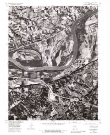
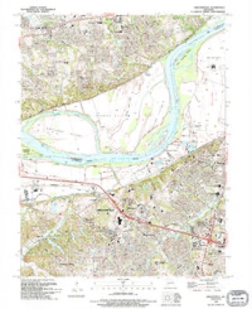
26 topographic sheets cover this place, the earliest surveyed in 1903 and the latest in 1994. It stands in Chesterfield Township. It lies in ZIP code area 63017. The Survey maps it on the Chesterfield quadrangle.
On record in Bellefontaine
Buildings and businesses the archive holds for this place. Each opens its own page, with the source record it came from.
On the National Register within a mile 1 record
The National Register names another town for these. They stand within one mile of this settlement's coordinate.
- Thornhilllisted 1974 · 0.9 miles away
Topographic sheets covering this place
12 surveys from 26 printed sheetsMatched by testing this settlement's coordinate against the published boundary of every sheet in the United States Geological Survey's historical collection. Each opens the scanned sheet at the Survey.
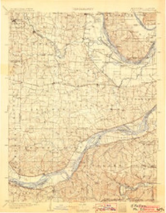
- 1903 USGS O'Fallon quadrangle1:125000, 5 printings
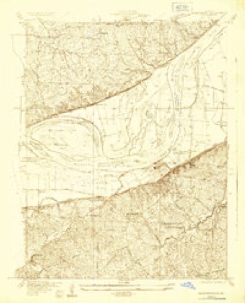
- 1932 USGS Manchester NE quadrangle1:24000
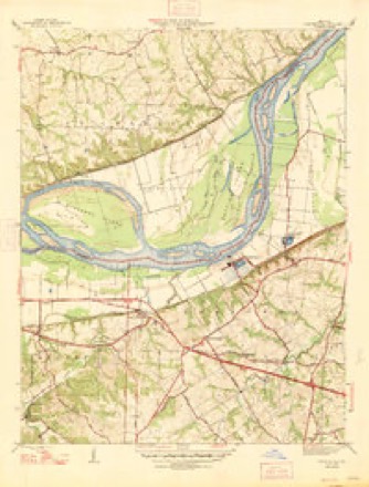
- 1947 USGS Chesterfield quadrangle1:24000, 2 printings
- 1949 USGS Saint Louis quadrangle1:250000
- 1949 USGS St. Louis quadrangle1:250000
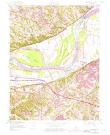
- 1954 USGS Chesterfield quadrangle1:24000, 5 printings
- 1962 USGS St. Louis quadrangle1:250000
- 1963 USGS St. Louis quadrangle1:250000, 4 printings
- 1966 USGS St. Louis quadrangle1:250000
- 1979 USGS Chesterfield quadrangle1:24000
- 1985 USGS St Louis quadrangle1:100000, 3 printings
- 1994 USGS Chesterfield quadrangle1:24000






Fires near this place
5 since 2007Regional context, not property-specific evidence. The federal wildfire occurrence database lists 5 fires within 5 miles of Bellefontaine between 2007 and 2008, burning about 3 acres in total. None started naturally. None was recorded as arson. Distance is straight-line from the map coordinates, so a fire counted here may appear on a neighbouring settlement's page as well.
| Reported cause | Fires |
|---|---|
| Missing data/not specified/undetermined | 4 |
| Recreation and ceremony | 1 |
The most recent of them, most recent first, with the day each was reported and the service that recorded it.
| Date | Cause | Size | Reported by | Name on the report |
|---|---|---|---|---|
| 29 June 2008 | Recreation and ceremony | under an acre | Missouri State Fire Marshal's Office | not named |
| 27 June 2007 | Missing data/not specified/undetermined | 1.0 acres | Missouri State Fire Marshal's Office | not named |
| 23 April 2007 | Missing data/not specified/undetermined | 1.0 acres | Missouri State Fire Marshal's Office | not named |
| 5 November 2007 | Missing data/not specified/undetermined | 1.0 acres | Missouri State Fire Marshal's Office | not named |
| 9 October 2008 | Missing data/not specified/undetermined | under an acre | Missouri State Fire Marshal's Office | not named |
Settlements close enough to share some of these fires:
Mines and quarries near this place
10 within 5 milesRegional context, not property-specific evidence. The federal mineral resources record lists 10 workings within 5 miles of Bellefontaine: 10 past producers. None of them still produces. What was taken out: Stone, Crushed/Broken. Distance is straight-line from the map coordinates, so a quarry counted here may appear on a neighbouring settlement's page as well.
| Where | Site | Commodity | Status | Recorded |
|---|---|---|---|---|
| Fern Ridge Quarry | Stone, Crushed/Broken | Past Producer | ||
| Thompson and Gray Company Quarry | Stone, Crushed/Broken | Past Producer | ||
| Unk | Stone, Crushed/Broken | Past Producer | ||
| Unk | Stone, Crushed/Broken | Past Producer | ||
| Unk | Stone, Crushed/Broken | Past Producer | ||
| Unknown - Ls | Stone, Crushed/Broken | Past Producer | ||
| Unknown - Ls | Stone, Crushed/Broken | Past Producer | ||
| Unknown - Ls | Stone, Crushed/Broken | Past Producer | ||
| Unknown - Ls | Stone, Crushed/Broken | Past Producer | ||
| Unknown - Ls | Stone, Crushed/Broken | Past Producer |
Storms near this place
20 since 2008Regional context, not property-specific evidence. The National Weather Service names Bellefontaine in 20 storm reports between 2008 and 2025: 9 thunderstorm wind, 8 hail, 2 flash flood, 1 tornado. The reports record 1 death. Each account below is quoted exactly as the forecast office filed it, from the NOAA Storm Events Database, and each date opens the federal record of that event.
| When | Event | Place named | Harm | What the report says |
|---|---|---|---|---|
| July 2023 | Thunderstorm Wind | South Bellefontaine | 1 killed | Widespread wind damage across the northern portions of St. Louis County as a line of storms moved through. Numerous large trees, tree limbs, power poles and power lines were blown down. In Jennings, a very large tree was snapped off (possibly due to a lightning strike) and landed on a home, crushing a 5 year old boy in his bedroom. He was rescued and taken to a nearby hospital, but was pronounced dead soon after. The house next door sustained major roof damage from this large tree as well. A large tree branch, approximately two feet in diameter, was blown down onto an unoccupied car just east of Chesterfield. In Kirkwood, a large tree was uprooted and as it fell it damaged the corner of a home. Otherwise, widespread tree damage was reported in St. Ann, Clayton, University City, Creve Coeur, Overland, Florissant, Black Jack and Spanish Lake. Over 100,000 customers (St. Louis County/St. Louis City) were without power due to this storm. It took a little over 4 days to restore power to all of them. |
| April 2024 | Tornado (EF0) | South Bellefontaine | $100,000 | An EF0 tornado with peak winds of 85 mph touched down just northeast of the Interstate 64 and Highway 340 interchange. The tornado traveled 2 miles east-northeast for approximately 3 minutes before lifting just west of Highway 141. Several tree limbs were damaged with minor damage to the roofs of multiple residences. Overall, the path length was 2.01 miles and the max path width was 332 yards. No deaths or injuries were reported. |
| March 2025 | Thunderstorm Wind | South Bellefontaine | $25,000 | Thunderstorm winds tore the roof off a garage and off a portion of the connected home. There was also damage to the roof's trim. |
| March 2025 | Thunderstorm Wind | South Bellefontaine | $20,000 | A mid-sized home experienced damage to the entire front side of their roof from thunderstorm winds. As the roof was covered in tarp, the extent of the damage is unknown. |
| April 2024 | Flash Flood | South Bellefontaine | $1,000 | Official NWS observations saw multiple urban creeks rise well above flood stage, including Two Mile Creek which went above moderate. Cold Water Creek flooded over a nearby roadway. In Chesterfield, plastic trash cans and barrels were floating in the street. |
| March 2025 | Thunderstorm Wind | South Bellefontaine | - | Thunderstorm winds snapped two large trees near their base. |
| August 2023 | Thunderstorm Wind | South Bellefontaine | - | Thunderstorm winds blew down several power lines near the intersection of Chesterfield Parkway East and Schoettler Valley Drive. |
| June 2019 | Thunderstorm Wind | South Bellefontaine | - | A medium sized tree was snapped off. Report received via Twitter with picture. |
| July 2015 | Thunderstorm Wind | South Bellefontaine | - | Thunderstorm winds blew down a few power lines in Chesterfield and a couple of very large tree limbs in Ballwin. |
| April 2013 | Thunderstorm Wind | South Bellefontaine | - | Thunderstorm winds blew off part of the roof of Shenandoah Valley Elementary School. Six class rooms sustained both wind and water damage. School was not in session, so no injuries reported. |
| June 2011 | Flash Flood | South Bellefontaine | - | Between 2 and 3 inches of rain fell in a short amount of time causing flash flooding. A retention bond just north of Ladue Road on Highway 141 blew out flooding parts of Highway 141. Also, there was between 6 and 8 inches of water over Natural Bridge Road near Interstate 70. |
| May 2010 | Thunderstorm Wind | South Bellefontaine | - | Thunderstorm winds blew down several 14 to 16 inch diameter tree limbs on the east side of Chesterfield. Also, the winds blew off part of the roof of a small storage building just north of Lambert Field. |
| May 2025 | Hail | South Bellefontaine | - | no account filed |
| May 2025 | Hail | South Bellefontaine | - | no account filed |
| May 2025 | Hail | South Bellefontaine | - | no account filed |
| May 2025 | Hail | South Bellefontaine | - | no account filed |
| May 2025 | Hail | South Bellefontaine | - | no account filed |
| June 2012 | Hail | South Bellefontaine | - | no account filed |
| April 2011 | Hail | South Bellefontaine | - | no account filed |
| March 2008 | Hail | South Bellefontaine | - | no account filed |
Nearest settlements
The eight closest, with where each one stands in the county. Distances are straight-line, computed from the Geographic Names Information System coordinates.
| Map | Place | Distance | Sheets |
|---|---|---|---|
| Chesterfield | 1.3 miles | 26 | |
| Lake | 2.4 miles | 26 | |
| Hine | 2.4 miles | 26 | |
| Loehr | 3.0 miles | 29 | |
| Clarkson Valley | 3.2 miles | 29 | |
| Gumbo | 3.4 miles | 26 | |
| Stevens | 3.6 miles | 26 | |
| Benbush | 3.9 miles | 22 |
Provenance
This settlement is recorded in the Geographic Names Information System as feature 755746. The sheet list is computed by point-in-boundary test against the United States Geological Survey's historical topographic inventory. Both are works of the United States government and carry no copyright under 17 U.S.C. 105.
Wildfire. Short, Karen C. 2022. Spatial wildfire occurrence data for the United States, 1992-2020 [FPA_FOD_20221014]. 6th Edition. Fort Collins, CO: Forest Service Research Data Archive. https://doi.org/10.2737/RDS-2013-0009.6 Collected with United States Government funding and usable without additional permissions or fees.
Mines and quarries. USGS Mineral Resources Data System (MRDS) https://mrdata.usgs.gov/mrds/ A work of the United States government, no copyright under 17 U.S.C. 105.
Storms. NOAA National Centers for Environmental Information, Storm Events Database https://www.ncei.noaa.gov/stormevents/ A work of the United States government, no copyright under 17 U.S.C. 105. Narratives are quoted verbatim from the National Weather Service report and are not edited or summarised.