 Block
Boonesborough, Missouri
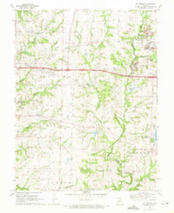
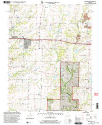
22 topographic sheets cover this place, the earliest surveyed in 1886 and the latest in 2000. It stands in Columbia Township. It lies in ZIP code area 65202. The Survey maps it on the Millersburg quadrangle. The federal gazetteer marks this settlement historical: it is no longer a populated place, though the surveys that recorded it still are.
Topographic sheets covering this place
12 surveys from 22 printed sheetsMatched by testing this settlement's coordinate against the published boundary of every sheet in the United States Geological Survey's historical collection. Each opens the scanned sheet at the Survey.
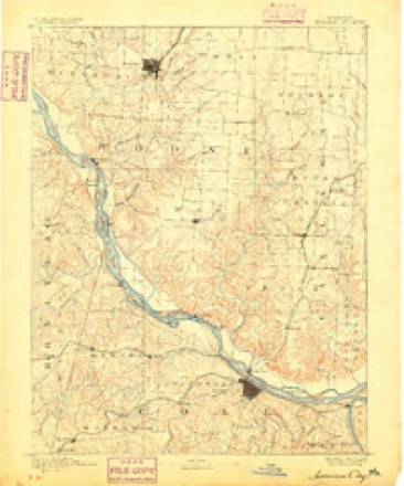
- 1886 USGS Jefferson City quadrangle1:125000
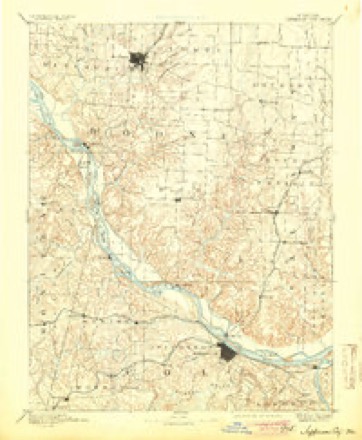
- 1894 USGS Jefferson City quadrangle1:125000, 4 printings
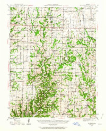
- 1944 USGS Millersburg quadrangle1:62500
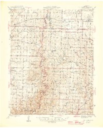
- 1946 USGS Millersburg quadrangle1:62500, 2 printings
- 1947 USGS Jefferson City quadrangle1:250000
- 1954 USGS Jefferson City quadrangle1:250000, 2 printings
- 1955 USGS Jefferson City quadrangle1:250000, 4 printings
- 1958 USGS Jefferson City quadrangle1:250000
- 1959 USGS Jefferson City quadrangle1:250000
- 1969 USGS Millersburg quadrangle1:24000, 3 printings
- 1982 USGS Jefferson City quadrangle1:100000
- 2000 USGS Millersburg quadrangle1:24000





What happened here
An account from the chapter on Columbia township. The inset identifies its exact source book and publication year.
Killed By A Falling Tree
In 1825 a little nine-year-old boy named AVilliam R. Wright, whose parents lived in this township, was killed at a point in Missouri township, on what is now known as the Hume farm. He was buried where is now a garden, on the farm of Sidne}^ Hume. The Indians had set the woods on fire and the boy, with his father and some others of the settlers, was out fighting the flames, and a burning tree fell on him and killed him instantly.
In the county-history sources
98,879 words on this townshipHistory of Boone County, Missouri. Written and Comp. from the Most Authentic Official and Private Sources; Including a History of Its Townships, Towns, and Villages. Together with a Condensed History of Missouri; the City of St. Louis ... Biographical Sketches and Portraits of Prominent Citizens .., published 1882 names this settlement in its chapter on Columbia Township. These are the passages that mention it, exactly as the scans read.
About the year 1836, a Mr. W^oods laid off a town on section 3, township 48, range 11, on the east end of the township line, adjoining Callaway county, which he called Boonesborough. The place came to be one of some trade and importance. The first merchants were Felix Bryan and W. H. Robertson. The first grocery store was built and kept by Thomas Turley, who was succeeded Iw Lewis Reed, Peter Keniiey and J. Taylor. A store-house was also built by Newman & Kimbrough, and another by Broyles & Taylor. The latter building w\as afterward occupied by Carr & Kempinsky. There were also at Boonesborough a horse-mill, built and run by Wm. James ; one blacksmith shop by Durnell Bros., and another by Walter James ; a carpenter shop, by Wm. James and Lon Levi ; a carding machine built and run by James Turner, and a grocery store built and kept by Arthur McLane. There w^as also a select school, the "Boonesborough Academy," which had for teachers, from time to time, Robert
Boonesborough was in existence for about twenty years, or until 1857, when it died, or "played out," as we in the West express it. Nothing is now left to mark the site and the former glory of the town but two buildings, one of which was the residence of Mr. Woods, and the other the old store house built by Bryant & Robertson.
Machine-read from a century-old scan, so expect the errors a machine makes: misspelled names, dropped words, stray characters.
Fires near this place
21 since 1992Regional context, not property-specific evidence. The federal wildfire occurrence database lists 21 fires within 5 miles of Boonesborough (historical) between 1992 and 2019, burning about 25 acres in total. None started naturally. None was recorded as arson. Distance is straight-line from the map coordinates, so a fire counted here may appear on a neighbouring settlement's page as well.
| Reported cause | Fires |
|---|---|
| Debris and open burning | 7 |
| Missing data/not specified/undetermined | 4 |
| Smoking | 4 |
| Equipment and vehicle use | 3 |
| Recreation and ceremony | 3 |
The most recent of them, most recent first, with the day each was reported and the service that recorded it.
| Date | Cause | Size | Reported by | Name on the report |
|---|---|---|---|---|
| 30 September 2007 | Recreation and ceremony | under an acre | Missouri State Fire Marshal's Office | not named |
| 1 September 2007 | Missing data/not specified/undetermined | under an acre | Missouri State Fire Marshal's Office | not named |
| 2 August 2005 | Missing data/not specified/undetermined | 3.0 acres | Missouri State Fire Marshal's Office | not named |
| 12 August 2006 | Equipment and vehicle use | 1.0 acres | Missouri State Fire Marshal's Office | not named |
| 9 May 2018 | Missing data/not specified/undetermined | 1.7 acres | Missouri Department of Conservation | 177550-01420-05092018-1414 |
| 30 April 2018 | Debris and open burning | 1.1 acres | Missouri Department of Conservation | 177547-01420-04302018-1823 |
| 28 April 2018 | Missing data/not specified/undetermined | under an acre | Missouri Department of Conservation | 177546-01420-04282018-1402 |
| 2 April 2005 | Debris and open burning | 1.0 acres | Missouri State Fire Marshal's Office | not named |
Settlements close enough to share some of these fires:
Mines and quarries near this place
5 within 5 milesRegional context, not property-specific evidence. The federal mineral resources record lists 5 workings within 5 miles of Boonesborough (historical): 5 past producers. None of them still produces. What was taken out: Fire Clay (Refractory), Stone, Crushed/Broken. Distance is straight-line from the map coordinates, so a quarry counted here may appear on a neighbouring settlement's page as well.
| Where | Site | Commodity | Status | Recorded |
|---|---|---|---|---|
| Unknown - Ls. | Stone, Crushed/Broken | Past Producer | ||
| Unknown - Ls. | Stone, Crushed/Broken | Past Producer | ||
| Unknown - Clay | Fire Clay (Refractory) | Past Producer | ||
| Unknown - Clay | Fire Clay (Refractory) | Past Producer | ||
| Unknown - Clay | Fire Clay (Refractory) | Past Producer |
Nearest settlements
The eight closest, with where each one stands in the county. Distances are straight-line, computed from the Geographic Names Information System coordinates.
Provenance
This settlement is recorded in the Geographic Names Information System as feature 759417. The sheet list is computed by point-in-boundary test against the United States Geological Survey's historical topographic inventory. Both are works of the United States government and carry no copyright under 17 U.S.C. 105.
Wildfire. Short, Karen C. 2022. Spatial wildfire occurrence data for the United States, 1992-2020 [FPA_FOD_20221014]. 6th Edition. Fort Collins, CO: Forest Service Research Data Archive. https://doi.org/10.2737/RDS-2013-0009.6 Collected with United States Government funding and usable without additional permissions or fees.
Mines and quarries. USGS Mineral Resources Data System (MRDS) https://mrdata.usgs.gov/mrds/ A work of the United States government, no copyright under 17 U.S.C. 105.