 Block
Stephens, Missouri
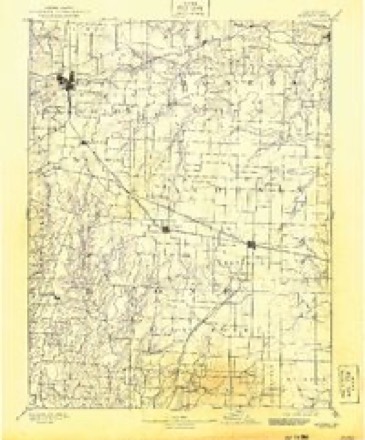
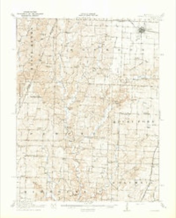
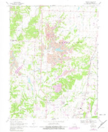
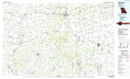
19 topographic sheets cover this place, the earliest surveyed in 1890 and the latest in 1985. It stands in Rocky Fork Township. It lies in ZIP code area 65202. The Survey maps it on the Browns quadrangle.
Topographic sheets covering this place
8 surveys from 19 printed sheetsMatched by testing this settlement's coordinate against the published boundary of every sheet in the United States Geological Survey's historical collection. Each opens the scanned sheet at the Survey.
- 1890 USGS Moberly quadrangle1:125000, 6 printings
- 1917 USGS Sturgeon quadrangle1:62500, 3 printings
- 1953 USGS Moberly quadrangle1:250000
- 1954 USGS Moberly quadrangle1:250000, 3 printings
- 1957 USGS Moberly quadrangle1:250000
- 1960 USGS Moberly quadrangle1:250000
- 1969 USGS Browns quadrangle1:24000, 2 printings
- 1985 USGS Moberly quadrangle1:100000, 2 printings




What happened here
An account from the chapter on Rocky Fork township. The inset identifies its exact source book and publication year.
History Op Boone Cottntt Miscellaneous
About twenty years since Mr. Wm. Watts was accidently shot and killed. The incident happened in the eastern part of this township. He and another man named Watkins were herding cattle, and while the two were carelessly handling a gun it was accidentally discharged and Watts was killed.
In the county-history sources
20,830 words on this townshipHistory of Boone County, Missouri, published 1882 names this settlement in its chapter on Rocky Fork Township. These are the passages that mention it, exactly as the scans read.
Absalom Hicks emigrated from Kentucky to this township in 1816, and settled on the farm where Mrs. O. Reed now lives, near Middletown. He was the father of Mattison, Willis, and Young E. Hicks. The latter was a noted Santa Fe trader, and freighted many a train across the plains to New Mexico, loaded with dry goods and other merchandise. He was for a time in partnership with Amos Marney, another of the first settlers of the township. Young Hicks was the father of Hon. Absalom Hicks, who represented this county in the Legislature in 1852. Mattison was a justice of the peace for many years. Upon the breaking out of the civil war he became -* disloyal,'* and died while a Federal prisoner at St. Louis.
Passage source: History of Boone County, Missouri, published 1882.
One of tbe first settlers of tbis townsbip was Rev. Elias Newman. He was a Baptist minister. Sometimes be was connected with the organization of Mt. Tabor church, near where Mt. Zion now is. Hev. Newman had three sons, James, Elias W. and Thomas. The latter was murdered during tbe civil war, while lying sick at the house of bis father-in-law, a Mr. Price. It is reported that the killing was done by a Federal command from Mexico, under Maj. Mitchen (or Mitchell), and that tbe killing was simply an atrocity. It is said that Mitchell was not a *- rebel," but a peaceable, inofiensive citizen. The militia came to the bouse and surrounded it, and, as reported, some of them went in aud shot Mr. Newman until he was dead, while his wife and family were begging for bis life.
Passage source: History of Boone County, Missouri, published 1882.
During the war John Roberts, a Confederate, was taken prisoner by a detachment of Merrill's Horse. When he and his captors were near Mr. Jennings's residence, Roberts attempted to escape. The Federals fired upon him and brought him down and left him on the ground for dead. He recovered sufficiently to be able to make his way to the house of Mr. Jennings, where he was cared for until he was able to make his way to his own home. Mr. Roberts now lives in Texas.
Passage source: History of Boone County, Missouri, published 1882.
Machine-read from a century-old scan, so expect the errors a machine makes: misspelled names, dropped words, stray characters.
Read the whole chapter on Rocky Fork Township - it names this place 1 more 1 time.
Mines and quarries near this place
5 within 5 milesRegional context, not property-specific evidence. The federal mineral resources record lists 5 workings within 5 miles of Stephens: 5 past producers. None of them still produces. What was taken out: Stone, Crushed/Broken, Fire Clay (Refractory). Distance is straight-line from the map coordinates, so a quarry counted here may appear on a neighbouring settlement's page as well.
| Where | Site | Commodity | Status | Recorded |
|---|---|---|---|---|
| Unknown - Clay | Fire Clay (Refractory) | Past Producer | ||
| Unknown - Clay | Fire Clay (Refractory) | Past Producer | ||
| Unknown - Ls. | Stone, Crushed/Broken | Past Producer | ||
| Unknown - Ls. | Stone, Crushed/Broken | Past Producer | ||
| Unknown - Ls. | Stone, Crushed/Broken | Past Producer |
Storms near this place
2 since 2009Regional context, not property-specific evidence. The National Weather Service names Stephens in 2 storm reports between 2009 and 2025: 1 hail, 1 tornado. No death or injury is recorded in these reports. Each account below is quoted exactly as the forecast office filed it, from the NOAA Storm Events Database, and each date opens the federal record of that event.
| When | Event | Place named | Harm | What the report says |
|---|---|---|---|---|
| April 2025 | Tornado (EF1) | Stephens | $22,000 | A brief tornado developed just east of Hinkson Creek at 5:33 PM where it caused significant damage to the Columbia Recycling Facility. The building was completely destroyed and the machinery inside significantly damaged. The tornado continued moving northeast, causing more tree damage before dissipating just north of E Highway HH along N Deer Valley Lane at 5:35 PM. |
| June 2009 | Hail | Stephens | - | no account filed |
Nearest settlements
The eight closest, with where each one stands in the county. Distances are straight-line, computed from the Geographic Names Information System coordinates.
| Map | Place | Distance | Sheets |
|---|---|---|---|
| Switzler | 1.4 miles | 19 | |
| Browns | 1.5 miles | 19 | |
| Prathersville | 3.0 miles | 19 | |
| Lebanon (historical) | 3.7 miles | 18 | |
| Hinton | 4.3 miles | 19 | |
| Murry | 4.8 miles | 18 | |
| Moores Switch | 4.9 miles | 29 | |
| Shaw | 5.1 miles | 22 |
Provenance
This settlement is recorded in the Geographic Names Information System as feature 727066. The sheet list is computed by point-in-boundary test against the United States Geological Survey's historical topographic inventory. Both are works of the United States government and carry no copyright under 17 U.S.C. 105.
Mines and quarries. USGS Mineral Resources Data System (MRDS) https://mrdata.usgs.gov/mrds/ A work of the United States government, no copyright under 17 U.S.C. 105.
Storms. NOAA National Centers for Environmental Information, Storm Events Database https://www.ncei.noaa.gov/stormevents/ A work of the United States government, no copyright under 17 U.S.C. 105. Narratives are quoted verbatim from the National Weather Service report and are not edited or summarised.