 Block
Brewer, Missouri
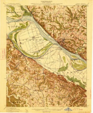
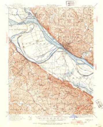
23 topographic sheets cover this place, the earliest surveyed in 1915 and the latest in 1993. It stands in Saline Township. It lies in ZIP code area 63775. The Survey maps it on the Lithium quadrangle. 361 people lived here at the 2020 count. It stands 584 feet above sea level.
Population over time
2 figuresBrewer fell from 374 to 361 between 2010 and 2020. These are the recorded population figures Wikidata holds for this place, reached through the Geographic Names Information System number this page is keyed on rather than by name, so they belong to this place and not to another of the same name. Most are census counts, but not all are: an early figure may be a founding or settlement estimate, and an estimate published within five years of a census is left out. The change column is computed, and is left blank where more than 20 years separate a figure from the one before it, because a gap that long is not a change between two counts.
| Year | People | Change |
|---|---|---|
| 2010 | 374 | |
| 2020 | 361 | -13 (-3%) |
Topographic sheets covering this place
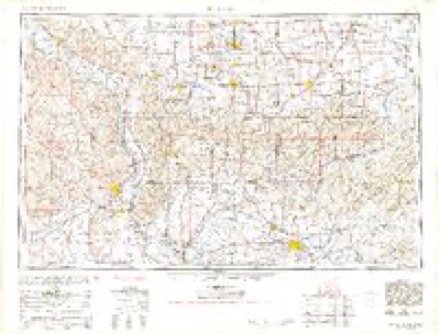
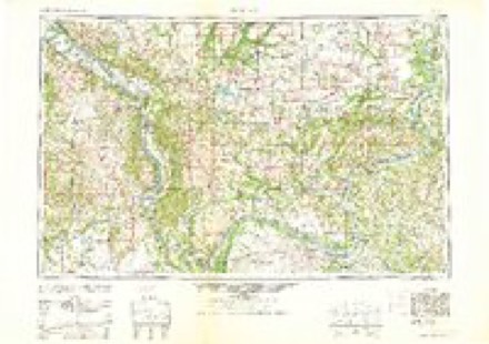
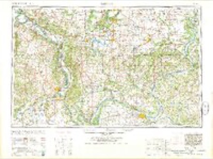
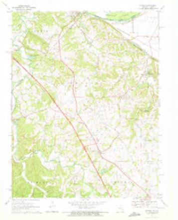
12 surveys from 23 printed sheetsMatched by testing this settlement's coordinate against the published boundary of every sheet in the United States Geological Survey's historical collection. Each opens the scanned sheet at the Survey.
- 1915 USGS Chester quadrangle1:62500, 5 printings
- 1947 USGS Chester quadrangle1:62500, 3 printings
- 1949 USGS Paducah quadrangle1:250000, 2 printings
- 1950 USGS Paducah quadrangle1:250000
- 1954 USGS Paducah quadrangle1:250000, 2 printings
- 1961 USGS Paducah quadrangle1:250000, 2 printings
- 1964 USGS Paducah quadrangle1:250000, 2 printings
- 1970 USGS Lithium quadrangle1:24000, 2 printings
- 1984 USGS Carbondale quadrangle1:100000
- 1986 USGS Carbondale quadrangle1:100000
- 1987 USGS Paducah quadrangle1:250000
- 1993 USGS Lithium quadrangle1:24000
Fires near this place
3 since 1995Regional context, not property-specific evidence. The federal wildfire occurrence database lists 3 fires within 5 miles of Brewer between 1995 and 2011, burning about 10 acres in total. None started naturally. None was recorded as arson. Distance is straight-line from the map coordinates, so a fire counted here may appear on a neighbouring settlement's page as well.
| Reported cause | Fires |
|---|---|
| Debris and open burning | 2 |
| Missing data/not specified/undetermined | 1 |
The most recent of them, most recent first, with the day each was reported and the service that recorded it.
| Date | Cause | Size | Reported by | Name on the report |
|---|---|---|---|---|
| 29 August 1995 | Missing data/not specified/undetermined | 8.0 acres | Missouri Department of Conservation | not named |
| 15 February 2011 | Debris and open burning | 1.0 acres | Missouri Department of Conservation | not named |
| 13 February 2011 | Debris and open burning | 1.0 acres | Missouri Department of Conservation | not named |
Settlements close enough to share some of these fires:
Mines and quarries near this place
9 within 5 milesRegional context, not property-specific evidence. The federal mineral resources record lists 9 workings within 5 miles of Brewer: 7 past producers, 2 producers. 2 still produce. What was taken out: Stone, Crushed/Broken, Sand and Gravel, Construction, Lead. Distance is straight-line from the map coordinates, so a quarry counted here may appear on a neighbouring settlement's page as well.
| Where | Site | Commodity | Status | Recorded |
|---|---|---|---|---|
| Burnt Mill Property | Lead | Past Producer | ||
| Horn S Diggings | Lead | Past Producer | ||
| Orths Pit & Plant | Sand and Gravel, Construction | Producer | ||
| Unknown | Sand and Gravel, Construction | Past Producer | ||
| Herrin City Eng. | Stone, Crushed/Broken | Past Producer | ||
| Perry County Stone Co. Quarry/Plant | Stone, Crushed/Broken | Producer | ||
| Sereno Quarry | Stone, Crushed/Broken | Past Producer | ||
| Unknown | Stone, Crushed/Broken | Past Producer | ||
| Unknown | Stone, Crushed/Broken | Past Producer |
Storms near this place
21 since 1995Regional context, not property-specific evidence. The National Weather Service names Brewer in 21 storm reports between 1995 and 2022: 11 thunderstorm wind, 6 hail, 2 tornado, 2 flash flood. The reports record 2 deaths and 14 injuries. Each account below is quoted exactly as the forecast office filed it, from the NOAA Storm Events Database, and each date opens the federal record of that event.
| When | Event | Place named | Harm | What the report says |
|---|---|---|---|---|
| March 2006 | Tornado (F3) | Brewer | 2 killed, 10 hurt, $1,000,000 | The tornado entered Perry County from Ste. Genevieve County near Highway NN and just west of the community of Giboney. The tornado moved northeast, crossing Interstate 55 only about one-half mile from the Ste. Genevieve County line. Two fatalities and F3 damage occurred in the vicinity of where the tornado crossed U.S. Route 61. The two fatalities occurred on U.S. 61, where a vehicle was picked up and thrown into a propane tank. The truck in which they were riding was likely picked up, flipped over, and slammed into the ground several times. The coroner stated that the victims died instantly. One of the victims was ejected from the truck, which then struck the top of a large propane tank. Because of the ensuing propane leak, the victim still in the truck could not be removed until the following day, when the propane was off-loaded from the tank. Both of the victims in the vehicle were residents of a mobile home who were trying to flee the tornado. The home from which they fled sustained only minor damage. At least four other people were significantly injured as they were picked up by tornadic winds and hurled 100 yards. Their injuries were compounded by wind-blown debris. Eight victims were admitted to a local hospital to remove debris which penetrated their bodies, and two others were sent to regional hospitals for serious injuries. Three mobile homes were flattened, a brick house had its roof and several walls blown off, and numerous vehicles were tossed around. A total of about a dozen residences were destroyed or severely damaged in Perry County. Perry County was designated a federal disaster area, enabling individual residents to apply for relief. The dashboard camera in a sheriff deputy's patrol car captured the tornado on film as it crossed U.S. 61 at F3 intensity. Peak winds were estimated near 170 MPH. The tornado crossed into Randolph County, Illinois at Old River, near some railroad tracks about 1.5 miles southeast of St. Marys. |
| April 2011 | Thunderstorm Wind | Brewer | 2 hurt, $1,000,000 | In Perryville, widespread damage occurred to trees and some buildings. An apartment building formerly used as a nursing home was heavily damaged or destroyed. The roof was blown off, and one of the walls collapsed. One person was injured when a portion of the roof collapsed on him. Two pets were killed. Sixteen families were displaced. Perryville police received 500 other calls during the first hour after the storm. The roof of an economic development building was blown off. Many homes suffered roof damage. Many roads were littered with roof and tree debris. Several city schools were damaged, including the roofs of the senior high school and elementary school gym. Windows were broken in several buildings. Athletic fields and storage sheds were damaged. About 50 utility poles were destroyed. Elsewhere around the county, trees blocked numerous state and county roads. Due to thunderstorm winds, an 18-wheeler rolled over on Interstate 55 northbound at mile marker 133. The driver was freed by rescue crews and transported to a hospital with minor injuries. Traffic was stopped on the interstate for two hours. |
| October 2001 | Thunderstorm Wind | Brewer | 2 hurt, $25,000 | Damaging straight-line winds around 70 MPH affected northwest Perry County, especially the Brewer area. Two injuries occurred when a mobile home was unroofed several miles west of Brewer. Along Interstate 55 near Brewer, two buildings were unroofed. Debris was blown into power lines and onto a car. Numerous trees and power lines were down in Brewer. |
| May 2014 | Thunderstorm Wind | Brewer | $500,000 | Thunderstorm winds estimated near 95 mph uprooted or snapped hundreds of trees. Thousands of large limbs were down. About 25 to 30 houses received roof damage. The roof was completely blown off a two-story house. The chimney was torn off a house. Numerous outbuildings and small sheds were destroyed. Trees and a small barn were blown across U.S. Highway 61. The damage area was about 7 to 8 miles long and two and one-half miles wide. |
| April 2022 | Tornado (EF0) | Brewer | $30,000 | A weak tornado briefly touched down on County Road 806 within a larger area of straight-line winds. The evidence of the weak tornado was based on the orientation of the damage. This included uprooted trees oriented to the southeast, along with lofted tin from a nearby damaged machine shed and a large two-by-four impaled into the ground. The tornado also destroyed a 30-by-50 foot machine shed near some other tree damage in the vicinity. The home next to this machine shed sustained damage to its soffit and gutters. The siding was damaged by debris. Power lines were down. A trained spotter reported seeing a funnel cloud. Peak winds were estimated near 85 mph. |
| April 2022 | Thunderstorm Wind | Brewer | $25,000 | An small area of damaging straight-line winds occurred on the west side of Interstate 55 on County Road 806. The wind damage area was about 0.4 mile wide and included many large downed trees and tree branches. There was also some shingle damage and a roof torn off a barn. A small EF-0 tornado was embedded within this damage area. |
| April 1999 | Thunderstorm Wind | Brewer | $20,000 | In Perryville, garage doors were blown in and damaged. Stop signs were bent, and a "for sale" sign was blown across a road. Tree tops were knocked out of trees. Near Brewer, several trees were knocked over, and a garage was heavily damaged. |
| July 2008 | Thunderstorm Wind | Brewer | $6,000 | Numerous trees were blown down on Highway M between Brewer and Lithium. Some branches landed across the road. The tops of four cedar trees were broken at one residence. |
| May 2011 | Thunderstorm Wind | Brewer | $2,000 | An antenna was blown over. Small tree limbs were blown down. |
| July 2020 | Flash Flood | Brewer | - | Water was flowing over Highway 61 at M Highway. |
| April 2017 | Thunderstorm Wind | Brewer | - | A trained spotter estimated a wind gust to 65 mph. |
| April 2009 | Flash Flood | Brewer | - | U.S. Highway 61 was impassable in the Brewer area. County Road 926 was impassable near Lithium. |
| July 2002 | Thunderstorm Wind | Brewer | - | Trees were blown down. |
| June 1997 | Thunderstorm Wind | Brewer | - | A severe thunderstorm moved into western Perry County, downing trees in a swath from the western county line into Brewer. After this cell weakened and moved east, another cell in a line of storms caused some tree damage in western Perry County south of Brewer. |
| May 1997 | Thunderstorm Wind | Brewer | - | A spotter estimated winds near 60 MPH. |
| April 2006 | Hail | Brewer | - | no account filed |
| April 2006 | Hail | Brewer | - | no account filed |
| July 2004 | Hail | Brewer | - | no account filed |
| May 2002 | Hail | Brewer | - | no account filed |
| July 2001 | Hail | Brewer | - | no account filed |
| May 1995 | Hail | Brewer | - | no account filed |
Nearest settlements
The eight closest, with where each one stands in the county. Distances are straight-line, computed from the Geographic Names Information System coordinates.
| Map | Place | Distance | Sheets |
|---|---|---|---|
| Saline Junction | 2.1 miles | 23 | |
| Giboney | 3.8 miles | 23 | |
| Sereno | 4.1 miles | 22 | |
| Lithium | 4.2 miles | 23 | |
| Perryville | 5.2 miles | 18 | |
| McBride | 5.8 miles | 22 | |
| Friendly Valley | 6.3 miles | 18 | |
| Shakertowne | 6.8 miles | 18 |
Elsewhere
Matched on this settlement's Geographic Names Information System number rather than its name, so it cannot be a different place of the same name in another state.
| Wikipedia article on Brewer | An encyclopaedic summary. Its text is share-alike, so it is linked here rather than copied. |
| Wikidata item Q5733711 | The structured record the population and elevation above come from. Public domain (CC0). |
Provenance
This settlement is recorded in the Geographic Names Information System as feature 714672. The sheet list is computed by point-in-boundary test against the United States Geological Survey's historical topographic inventory. Both are works of the United States government and carry no copyright under 17 U.S.C. 105.
Wildfire. Short, Karen C. 2022. Spatial wildfire occurrence data for the United States, 1992-2020 [FPA_FOD_20221014]. 6th Edition. Fort Collins, CO: Forest Service Research Data Archive. https://doi.org/10.2737/RDS-2013-0009.6 Collected with United States Government funding and usable without additional permissions or fees.
Mines and quarries. USGS Mineral Resources Data System (MRDS) https://mrdata.usgs.gov/mrds/ A work of the United States government, no copyright under 17 U.S.C. 105.
Storms. NOAA National Centers for Environmental Information, Storm Events Database https://www.ncei.noaa.gov/stormevents/ A work of the United States government, no copyright under 17 U.S.C. 105. Narratives are quoted verbatim from the National Weather Service report and are not edited or summarised.