 Block
Broadway, Missouri
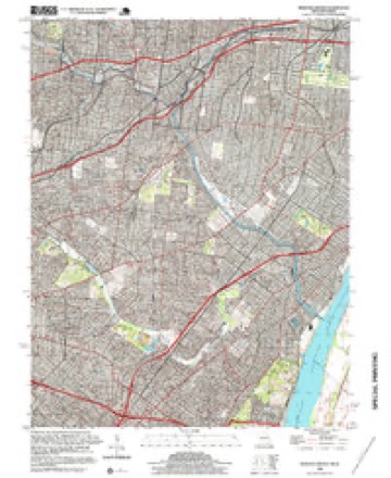
23 topographic sheets cover this place, the earliest surveyed in 1933 and the latest in 1998. It stands in St. Louis City. It lies in ZIP code area 63111. It stands on River des Peres. The Survey maps it on the Webster Groves quadrangle.
Topographic sheets covering this place
11 surveys from 23 printed sheetsMatched by testing this settlement's coordinate against the published boundary of every sheet in the United States Geological Survey's historical collection. Each opens the scanned sheet at the Survey.
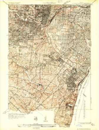
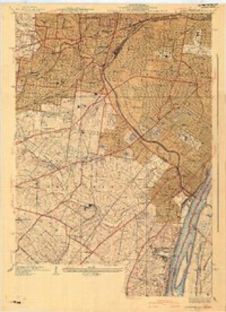
- 1933 USGS Jefferson Barracks quadrangle1:24000
- 1941 USGS Jefferson Barracks quadrangle1:24000, 3 printings
- 1949 USGS Saint Louis quadrangle1:250000
- 1949 USGS St. Louis quadrangle1:250000
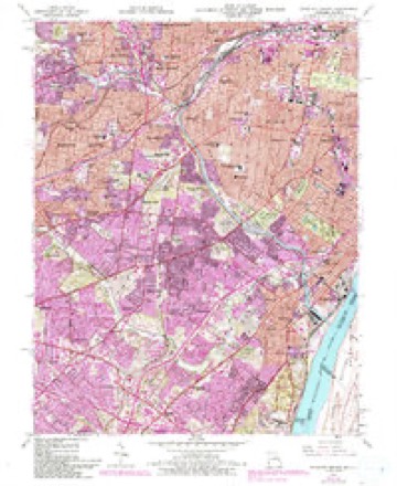
- 1954 USGS Webster Groves quadrangle1:24000, 5 printings
- 1962 USGS St. Louis quadrangle1:250000
- 1963 USGS St. Louis quadrangle1:250000, 4 printings
- 1966 USGS St. Louis quadrangle1:250000
- 1985 USGS St Louis quadrangle1:100000, 3 printings
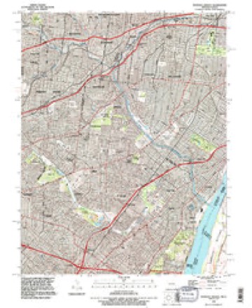
- 1993 USGS Webster Groves quadrangle1:24000
- 1998 USGS Webster Groves quadrangle1:24000, 2 printings






In the county-history sources
163,964 words on this townshipJournal of the Missouri State Convention, Held at the City of St. Louis, October, 1861, published 1861 names this settlement in its chapter on St. Louis City. These are the passages that mention it, exactly as the scans read.
Thirty-second. So much of the "Act to govern and regulate the volunteer militia of the State," approved, as aforesaid, bj this Convention, as conflicts with the provisions of this ordinance, is hereby repealed ; but all legal acts done, and proceedings properly had for the organization and support of the militia, under and by virtue of said act, shall be valid and binding as if authorized by this ordinance.
Passage source: Journal of the Missouri State Convention, Held at the City of St. Louis, October, 1861, published 1861.
Or was it, sir, that in the exercise of the same power, expressly admitted in favor of this Convention by themselves, we removed from office that Legislature who, in secret midnight session, with but half their number present, passed so-called "Acts," in utter and treasonable defiance of their sworn duty under the State and National Constitutions ? Do we we not know, both from the official journals of that secret session, and from the clear and authentic statement made at our July session by a delegate who was a loyal member of that Legislature, (Mr. Welch,) that a test vote was forced upon them and defiantly carried by their traitor majority, upon a proposition which was a declaration of war against the United States ? You remember, sir, that section 167 of that infamous "Military Bill" made it the sworn duty of every officer and soldier of the " Missouri State Guard" to attack, disperse and disarm every assemblage of men in this State " having the semblance of an armed organization," which was not organized under that Military Bill itself. You remember that with the express purpose of testing the intent of this provision, an amendment was offered, excepting from its terms the troops of the United States, within any post or arsenal within this State, so long as they conducted themselves lawfully, and until the State of Missouri, by a vote of her people, should change her relations with the Union- And you know that that amendment was voted down ; and that this vote was had before the socalled " outrage at Camp Jackson" had occurred.
Passage source: Journal of the Missouri State Convention, Held at the City of St. Louis, October, 1861, published 1861.
the insurgent army might be productive of similar consequences, both to the State and to many of its citizens, who, having been misimpressed and misled in the past, may wish to live in peace and loyalty in the future. Let them do so, upon laying down their arms, and filing with the records of their county, a declaration and an oath of similar import. When I remember how the young and impulsive (especially) have been misimpressed and overreached by those in whom they confided, perhaps but naturally, I feel that I should fall short of the duty of a Christian citizen were I not rather to seek to reclaim and to save them, than to punish them for doing what many of them were brought to believe they ought to do. Take, for instance, the case of a company which was raised in the south-eastern corner of my own county - the proceedings preliminary to which I will read to the Convention as a specimen of the mendacious misrepresentations of the secession leaders all over the State - and for one I feel that I ^iave not the hear; to punish either boys or men (if they can be otherwise reclaimed to society and to peace) who were thus imposed upon, especially by preachers. I read from my county paper of the 9th of May last (since defunct) as follows.;
Passage source: Journal of the Missouri State Convention, Held at the City of St. Louis, October, 1861, published 1861.
Machine-read from a century-old scan, so expect the errors a machine makes: misspelled names, dropped words, stray characters.
Read the whole chapter on St. Louis City - it names this place 3 more 3 times.
Fires near this place
3 since 2006Regional context, not property-specific evidence. The federal wildfire occurrence database lists 3 fires within 5 miles of Broadway between 2006 and 2014, burning about 3 acres in total. None started naturally. None was recorded as arson. Distance is straight-line from the map coordinates, so a fire counted here may appear on a neighbouring settlement's page as well.
| Reported cause | Fires |
|---|---|
| Debris and open burning | 1 |
| Misuse of fire by a minor | 1 |
| Missing data/not specified/undetermined | 1 |
The most recent of them, most recent first, with the day each was reported and the service that recorded it.
| Date | Cause | Size | Reported by | Name on the report |
|---|---|---|---|---|
| 22 March 2014 | Misuse of fire by a minor | 1.0 acres | Missouri Department of Conservation | not named |
| 28 February 2014 | Debris and open burning | 1.0 acres | Missouri Department of Conservation | not named |
| 9 October 2006 | Missing data/not specified/undetermined | 1.0 acres | Missouri State Fire Marshal's Office | not named |
Settlements close enough to share some of these fires:
Mines and quarries near this place
10 of 49 shownRegional context, not property-specific evidence. The federal mineral resources record lists 49 workings within 5 miles of Broadway: 44 past producers, 3 plants, 2 producers. 5 still produce. What was taken out: Stone, Crushed/Broken, Clay, Sand and Gravel, Construction, Fire Clay (Refractory). Distance is straight-line from the map coordinates, so a quarry counted here may appear on a neighbouring settlement's page as well.
| Where | Site | Commodity | Status | Recorded |
|---|---|---|---|---|
| Parker-Russell Fireclay Mine | Fire Clay (Refractory), Coal | Past Producer | ||
| Tole and Thorp Fireclay Mine | Fire Clay (Refractory), Coal | Past Producer | ||
| Coffin Mine | Fire Clay (Refractory) | Past Producer | ||
| Grandview Fireclay Mine | Fire Clay (Refractory) | Past Producer | ||
| Jamieson Pit | Fire Clay (Refractory) | Past Producer | ||
| Alpha Pit | Sand and Gravel, Construction | Past Producer | ||
| Superior Dredge and Mill | Sand and Gravel, Construction | Plant | ||
| Unknown - S&G | Sand and Gravel, Construction | Past Producer | ||
| Unknown - S&G | Sand and Gravel, Construction | Past Producer | ||
| Alpha Portland Cement Plant | Stone, Crushed/Broken, Clay | Producer |
Nearest settlements
The eight closest, with where each one stands in the county. Distances are straight-line, computed from the Geographic Names Information System coordinates.
| Map | Place | Distance | Sheets |
|---|---|---|---|
| Carondelet | 0.9 miles | 23 | |
| Mount Pleasant | 2.5 miles | 27 | |
| Dutchtown | 2.8 miles | 27 | |
| Marina Villa | 3.8 miles | 27 | |
| Southhampton | 3.9 miles | 23 | |
| Tower Grove East | 4.3 miles | 27 | |
| Cherokee Park | 4.3 miles | 27 | |
| Benton Park West | 4.4 miles | 27 |
Provenance
This settlement is recorded in the Geographic Names Information System as feature 765636. The sheet list is computed by point-in-boundary test against the United States Geological Survey's historical topographic inventory. Both are works of the United States government and carry no copyright under 17 U.S.C. 105.
Wildfire. Short, Karen C. 2022. Spatial wildfire occurrence data for the United States, 1992-2020 [FPA_FOD_20221014]. 6th Edition. Fort Collins, CO: Forest Service Research Data Archive. https://doi.org/10.2737/RDS-2013-0009.6 Collected with United States Government funding and usable without additional permissions or fees.
Mines and quarries. USGS Mineral Resources Data System (MRDS) https://mrdata.usgs.gov/mrds/ A work of the United States government, no copyright under 17 U.S.C. 105.