 Block
Carondelet, Missouri
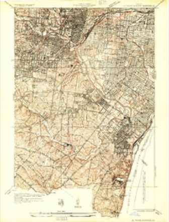
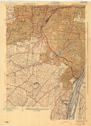
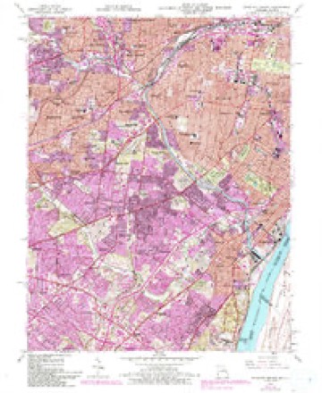
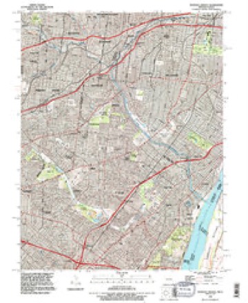
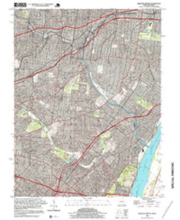
23 topographic sheets cover this place, the earliest surveyed in 1933 and the latest in 1998. It stands in St. Louis City. It lies in ZIP code area 63116. The Survey maps it on the Webster Groves quadrangle.
Topographic sheets covering this place
11 surveys from 23 printed sheetsMatched by testing this settlement's coordinate against the published boundary of every sheet in the United States Geological Survey's historical collection. Each opens the scanned sheet at the Survey.
- 1933 USGS Jefferson Barracks quadrangle1:24000
- 1941 USGS Jefferson Barracks quadrangle1:24000, 3 printings
- 1949 USGS Saint Louis quadrangle1:250000
- 1949 USGS St. Louis quadrangle1:250000
- 1954 USGS Webster Groves quadrangle1:24000, 5 printings
- 1962 USGS St. Louis quadrangle1:250000
- 1963 USGS St. Louis quadrangle1:250000, 4 printings
- 1966 USGS St. Louis quadrangle1:250000
- 1985 USGS St Louis quadrangle1:100000, 3 printings
- 1993 USGS Webster Groves quadrangle1:24000
- 1998 USGS Webster Groves quadrangle1:24000, 2 printings






In the county-history sources
163,964 words on this townshipJournal of the Missouri State Convention, Held at the City of St. Louis, October, 1861, published 1861 names this settlement in its chapter on St. Louis City. These are the passages that mention it, exactly as the scans read.
You are aware further, that the treasury of the State is empty. The Treasurer reported to me on the 21th of September last, that there was in the treasury $21,422.73, which was subject to a deduction for coupons paid by the Bank of the State on the old debt, the amount of which coupons he had not ascertained. The whole of the sum thus reported in the treasury is, in all probability, already absorbed by the payment of the salaries of civil officers. At this time the Sheriffs in very many of the counties are resigning their offices, in order to avoid the duty of collecting die taxes, which is supposed to be impracticable.
Passage source: Journal of the Missouri State Convention, Held at the City of St. Louis, October, 1861, published 1861.
Twenty-fourth. All contractors for supplies for the State militia shall be subject to trial by court martial for any fraud practiced in respect to such supplies, and shall, on conviction thereof, be punished with death or other punishment, at discretion of the court.
Passage source: Journal of the Missouri State Convention, Held at the City of St. Louis, October, 1861, published 1861.
Mr. WRIGHT. I oppose this resolution, Mr. President, on the ground that the guerrilla warfare was instituted by the Home Guards, and I do not think it necessary to memoralize Congress on the subject at all. It would be idle to ask for a thing which we ourselves initiated.
Passage source: Journal of the Missouri State Convention, Held at the City of St. Louis, October, 1861, published 1861.
Machine-read from a century-old scan, so expect the errors a machine makes: misspelled names, dropped words, stray characters.
Read the whole chapter on St. Louis City - it names this place 6 more 6 times.
Fires near this place
2 since 2006Regional context, not property-specific evidence. The federal wildfire occurrence database lists 2 fires within 5 miles of Carondelet between 2006 and 2014, burning about 2 acres in total. None started naturally. None was recorded as arson. Distance is straight-line from the map coordinates, so a fire counted here may appear on a neighbouring settlement's page as well.
| Reported cause | Fires |
|---|---|
| Misuse of fire by a minor | 1 |
| Missing data/not specified/undetermined | 1 |
The most recent of them, most recent first, with the day each was reported and the service that recorded it.
| Date | Cause | Size | Reported by | Name on the report |
|---|---|---|---|---|
| 22 March 2014 | Misuse of fire by a minor | 1.0 acres | Missouri Department of Conservation | not named |
| 9 October 2006 | Missing data/not specified/undetermined | 1.0 acres | Missouri State Fire Marshal's Office | not named |
Settlements close enough to share some of these fires:
Mines and quarries near this place
10 of 74 shownRegional context, not property-specific evidence. The federal mineral resources record lists 74 workings within 5 miles of Carondelet: 67 past producers, 4 producers, 3 plants. 7 still produce. What was taken out: Stone, Crushed/Broken, Clay, Fire Clay (Refractory), Sand and Gravel, Construction. Distance is straight-line from the map coordinates, so a quarry counted here may appear on a neighbouring settlement's page as well.
| Where | Site | Commodity | Status | Recorded |
|---|---|---|---|---|
| Delore Barite Mill | Barium-Barite | Producer | ||
| Krummel and Buchner Mine | Coal, Fire Clay (Refractory) | Past Producer | ||
| Parker-Russell Fireclay Mine | Fire Clay (Refractory), Coal | Past Producer | ||
| Tole and Thorp Fireclay Mine | Fire Clay (Refractory), Coal | Past Producer | ||
| Superior Dredge and Mill | Sand and Gravel, Construction | Plant | ||
| Unknown - S&G | Sand and Gravel, Construction | Past Producer | ||
| Unknown - S&G | Sand and Gravel, Construction | Past Producer | ||
| Coffin Mine | Fire Clay (Refractory) | Past Producer | ||
| Evans and Howard Fireclay Mine No 7 | Fire Clay (Refractory) | Past Producer | ||
| Evans and Howard Fireclay Mine No.6 | Fire Clay (Refractory) | Past Producer |
Storms near this place
43 since 1996Regional context, not property-specific evidence. The National Weather Service names Carondelet in 43 storm reports between 1996 and 2025: 22 hail, 16 thunderstorm wind, 4 flash flood, 1 lightning. The reports record 2 deaths and 6 injuries. Each account below is quoted exactly as the forecast office filed it, from the NOAA Storm Events Database, and each date opens the federal record of that event.
| When | Event | Place named | Harm | What the report says |
|---|---|---|---|---|
| July 2020 | Lightning | Carondelet | 1 killed, 3 hurt | As storms were moving through the region, four men were struck by lightning while at Marquette Park in the Dutchtown neighborhood of St. Louis. A witness said that the lightning bolt struck one man directly and the others were impacted by the force. Two were able to begin performing CPR on the one who was directly hit. All four were rushed to area hospitals with one person being in critical condition. The man in critical condition died 11 days later on July 30th. He was 28 years old. |
| July 2022 | Flash Flood | Carondelet | 1 killed, $85,000,000 | Up to 9 inches of rain fell in a period of 8 hours causing catastrophic flooding in portions of the city of St. Louis. Numerous roads were flooded. There were multiple swift water rescues and scores of flooded interstates and homes across the City of St. Louis. One fatality was at the intersection of Skinker Boulevard and Enright Avenue, just north of the Delmar Loop, where a 60 year old man drowned after driving into the flooded roadway. Firefighters helped or rescued around 70 residents. Property damage was very significant in some hard-hit areas, including the southwest part of the city where 14 to 15 homes experienced significant flooding. A large number of unoccupied vehicles were damaged/destroyed due to the flooding as well. The Metro Link station at Forest Park Parkway and DeBaliviere Avenue was flooded causing $35 million in damage to a two car train, tracks, towers, vehicles and equipment at the station. Dollar amount damage so far is estimated around $85 million. |
| October 2017 | Thunderstorm Wind | Carondelet | 2 hurt | Widespread wind damage across the city. Numerous reports of power lines down as well as a few power poles. A gas station canopy collapsed near the intersection of St. Louis Avenue and Vandeventer Avenue. Firefighters said two victims were taken to a hospital. One victim was a pedestrian on the street, the other was inside a car at the gas station. The driver of a truck that was one of two vehicles stuck under the canopy said a 28-year-old woman was sitting in the backseat when the glass shattered out of the back window and that's when she was injured. She was one of the people taken to the hospital. A large tree near St. Louis University was snapped off near the base. |
| June 2001 | Thunderstorm Wind | Carondelet | 1 hurt | Storm spotters reported a few trees down in the south part of the City of St. Louis. At Penrod and Jamieson avenues in southwest St. Louis, a tree limb fell on a sport utility vehicle, causing minor injuries to the driver. |
| March 2023 | Thunderstorm Wind | Carondelet | $30,000 | Thunderstorm winds snapped off a large tree. The tree landed on an unoccupied car causing major damage. Also, several other large trees were uprooted, some of which pulled down power lines. |
| June 2022 | Thunderstorm Wind | Carondelet | $10,000 | Thunderstorm winds blew down several large tree limbs on the south side of the city. One large tree limb fell onto an unoccupied car, breaking the back windshield. |
| March 2024 | Hail | Carondelet | - | A swath of large hail up to an inch in diameter fell across the southern portions of the City of St. Louis. |
| May 2024 | Thunderstorm Wind | Carondelet | - | Thunderstorm winds downed tree limbs up to 4 inches in diameter. |
| May 2024 | Hail | Carondelet | - | Reports of 1 to 2 inch hailstones were relegated to south St. Louis City south of I-44. |
| May 2023 | Hail | Carondelet | - | Large hail was reported across the southern portions of the City of St. Louis. |
| April 2023 | Thunderstorm Wind | Carondelet | - | Thunderstorm winds snapped off several large trees across the city and blew down numerous tree limbs. |
| May 2023 | Flash Flood | Carondelet | - | Between 3 and 6 inches rain fell in a short amount of time causing flash flooding over southern portions of the city. The fire department reported that several vehicles were trapped in standing water in the Carondelet neighborhood. On I-64 at Tamm Avenue overpass, flash flooding caused standing water on the highway. Several vehicles became stranded in this location after trying to drive through the flood waters. |
| July 2023 | Thunderstorm Wind | Carondelet | - | Thunderstorm winds blew down numerous tree limbs and power lines, especially on the south side of the city. |
| June 2018 | Thunderstorm Wind | Carondelet | - | Thunderstorm winds blew down multiple tents and canopies at a church event. Also, several trees and numerous tree limbs were blown down. One large tree fell onto a house causing moderate damage. On Loran Avenue, a tree fell onto an unoccupied car damaging it. |
| July 2017 | Thunderstorm Wind | Carondelet | - | Thunderstorm winds blew down a couple of trees near South Grand Avenue and Meramec Street. |
| February 2017 | Hail | Carondelet | - | Large hail up to the size of golfballs fell across the far southern portions of the city, in the Carondelet area. |
| December 2015 | Flash Flood | Carondelet | - | Another round of heavy rain, between 3 and 4 inches of rain fell across the City of St. Louis December 27th and 28th. This caused flash flooding. Numerous roads were flooded. |
| July 2014 | Hail | Carondelet | - | There were numerous reports of large hail across the southern portions of the City of St. Louis. |
| November 2013 | Thunderstorm Wind | Carondelet | - | Thunderstorm winds caused minor roof damage to several homes on the south side of the city. Also, several trees were either uprooted or snapped off. |
| April 2012 | Thunderstorm Wind | Carondelet | - | Thunderstorm winds blew down several large trees. One tree fell onto a house on Pernod Avenue causing moderate damage. Another tree was blown over onto an unoccupied car on Marquette Avenue near Tilles Park. On Potomac Avenue a large tree was uprooted and landed near a house causing minor roof damage. A fifteen inch diameter tree was snapped off near the intersection of Mackland Avenue and Southwest Avenue. |
| October 2010 | Thunderstorm Wind | Carondelet | - | Thunderstorm winds blew down numerous large trees, tree limbs and power lines on the southside of the city, mainly in the Tower Grove area. The winds destroyed the facade of a 20-unit apartment building on South Grand Boulevard near it's intersection with Gravois Avenue. |
| December 2010 | Thunderstorm Wind | Carondelet | - | Sixty mile per hour winds measured at the intersection of Chippewa Street and S. Kingshighway Blvd. |
| June 2009 | Flash Flood | Carondelet | - | Up to three inches of rain fell in a short amount of time causing flash flooding. Over a foot of water covered the intersection of Interstate 70 and 55 downtown. |
| August 2007 | Thunderstorm Wind | Carondelet | - | Thunderstorm winds uprooted several large trees in Carondelet Park. |
| July 2002 | Thunderstorm Wind | Carondelet | - | Amateur radio spotters reported a house damaged by a downed tree in south St. Louis. |
| June 2000 | Thunderstorm Wind | Carondelet | - | St. Louis Police reported power lines down in the south part of town. |
| March 2025 | Hail | Carondelet | - | no account filed |
| March 2025 | Hail | Carondelet | - | no account filed |
| March 2025 | Hail | Carondelet | - | no account filed |
| March 2025 | Hail | Carondelet | - | no account filed |
| March 2025 | Hail | Carondelet | - | no account filed |
| March 2025 | Hail | Carondelet | - | no account filed |
| April 2023 | Hail | Carondelet | - | no account filed |
| July 2019 | Hail | Carondelet | - | no account filed |
| June 2019 | Hail | Carondelet | - | no account filed |
| June 2013 | Hail | Carondelet | - | no account filed |
| August 2012 | Hail | Carondelet | - | no account filed |
| April 2011 | Hail | Carondelet | - | no account filed |
| April 2011 | Hail | Carondelet | - | no account filed |
| October 2010 | Hail | Carondelet | - | no account filed |
| June 2009 | Hail | Carondelet | - | no account filed |
| May 1998 | Hail | Carondelet | - | no account filed |
| April 1996 | Hail | Carondelet | - | no account filed |
Nearest settlements
The eight closest, with where each one stands in the county. Distances are straight-line, computed from the Geographic Names Information System coordinates.
| Map | Place | Distance | Sheets |
|---|---|---|---|
| Broadway | 0.9 miles | 23 | |
| Mount Pleasant | 2.0 miles | 27 | |
| Dutchtown | 2.1 miles | 27 | |
| Southhampton | 3.0 miles | 23 | |
| Marina Villa | 3.2 miles | 27 | |
| Tower Grove East | 3.5 miles | 27 | |
| Benton Park West | 3.7 miles | 27 | |
| Cherokee Park | 3.7 miles | 27 |
Provenance
This settlement is recorded in the Geographic Names Information System as feature 765643. The sheet list is computed by point-in-boundary test against the United States Geological Survey's historical topographic inventory. Both are works of the United States government and carry no copyright under 17 U.S.C. 105.
Wildfire. Short, Karen C. 2022. Spatial wildfire occurrence data for the United States, 1992-2020 [FPA_FOD_20221014]. 6th Edition. Fort Collins, CO: Forest Service Research Data Archive. https://doi.org/10.2737/RDS-2013-0009.6 Collected with United States Government funding and usable without additional permissions or fees.
Mines and quarries. USGS Mineral Resources Data System (MRDS) https://mrdata.usgs.gov/mrds/ A work of the United States government, no copyright under 17 U.S.C. 105.
Storms. NOAA National Centers for Environmental Information, Storm Events Database https://www.ncei.noaa.gov/stormevents/ A work of the United States government, no copyright under 17 U.S.C. 105. Narratives are quoted verbatim from the National Weather Service report and are not edited or summarised.