 Block
Centaur, Missouri
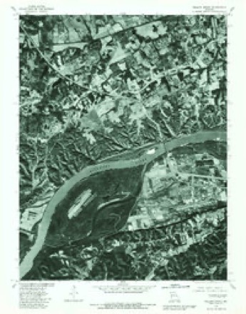
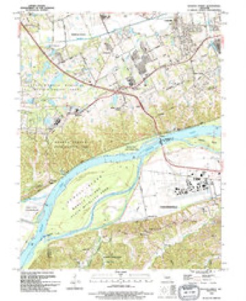
25 topographic sheets cover this place, the earliest surveyed in 1903 and the latest in 1994. It stands in Chesterfield Township. It lies in ZIP code area 63005. It stands on Wildhorse Creek. The Survey maps it on the Weldon Spring quadrangle.
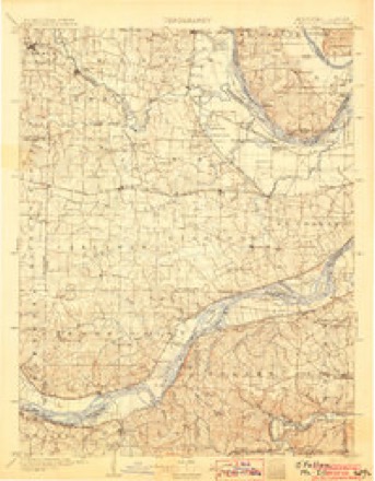
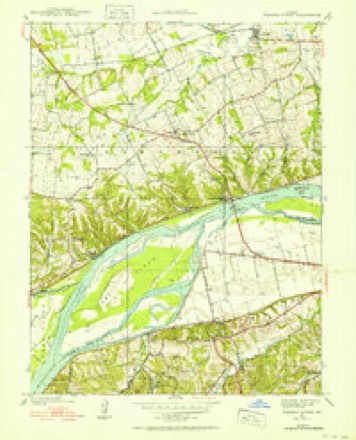
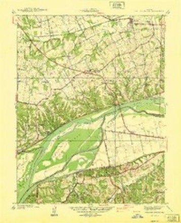
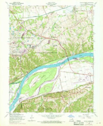
Topographic sheets covering this place
12 surveys from 25 printed sheetsMatched by testing this settlement's coordinate against the published boundary of every sheet in the United States Geological Survey's historical collection. Each opens the scanned sheet at the Survey.
- 1903 USGS O'Fallon quadrangle1:125000, 5 printings
- 1937 USGS Weldon Spring quadrangle1:24000
- 1940 USGS Weldon Spring quadrangle1:24000
- 1949 USGS Saint Louis quadrangle1:250000
- 1949 USGS St. Louis quadrangle1:250000
- 1954 USGS Weldon Spring quadrangle1:24000, 5 printings
- 1962 USGS St. Louis quadrangle1:250000
- 1963 USGS St. Louis quadrangle1:250000, 4 printings
- 1966 USGS St. Louis quadrangle1:250000
- 1979 USGS Weldon Spring quadrangle1:24000
- 1985 USGS St Louis quadrangle1:100000, 3 printings
- 1994 USGS Weldon Spring quadrangle1:24000






Fires near this place
10 since 2006Regional context, not property-specific evidence. The federal wildfire occurrence database lists 10 fires within 5 miles of Centaur between 2006 and 2020, burning about 7 acres in total. None started naturally. None was recorded as arson. Distance is straight-line from the map coordinates, so a fire counted here may appear on a neighbouring settlement's page as well.
| Reported cause | Fires |
|---|---|
| Missing data/not specified/undetermined | 8 |
| Smoking | 1 |
| Debris and open burning | 1 |
The most recent of them, most recent first, with the day each was reported and the service that recorded it.
| Date | Cause | Size | Reported by | Name on the report |
|---|---|---|---|---|
| 8 April 2020 | Missing data/not specified/undetermined | under an acre | Missouri Department of Conservation | 241105-09222-04082020-1900 |
| 3 April 2016 | Missing data/not specified/undetermined | under an acre | Missouri Department of Conservation | 135284-09222-04032016-2229 |
| 6 March 2007 | Missing data/not specified/undetermined | under an acre | Missouri State Fire Marshal's Office | not named |
| 15 March 2016 | Debris and open burning | under an acre | Missouri Department of Conservation | 135208-09222-03152016-1835 |
| 31 December 2016 | Missing data/not specified/undetermined | 2.0 acres | Missouri Department of Conservation | 143232-09222-12312016-1455 |
| 11 December 2006 | Missing data/not specified/undetermined | 1.0 acres | Missouri State Fire Marshal's Office | not named |
| 17 November 2013 | Smoking | 1.0 acres | Missouri Department of Conservation | not named |
| 12 November 2015 | Missing data/not specified/undetermined | under an acre | Missouri Department of Conservation | 130470-09222-11122015-2322 |
Settlements close enough to share some of these fires:
Mines and quarries near this place
10 of 14 shownRegional context, not property-specific evidence. The federal mineral resources record lists 14 workings within 5 miles of Centaur: 11 past producers, 2 unknowns, 1 producer. 1 still produces. What was taken out: Stone, Crushed/Broken, Stone, Dimension. Distance is straight-line from the map coordinates, so a quarry counted here may appear on a neighbouring settlement's page as well.
| Where | Site | Commodity | Status | Recorded |
|---|---|---|---|---|
| Hamburg Squarry | Stone, Dimension | Unknown | ||
| Babler State Park Quarry | Stone, Crushed/Broken | Past Producer | ||
| Defiance Quarry and Mill | Stone, Crushed/Broken | Producer | ||
| Meyer Quarry | Stone, Crushed/Broken | Past Producer | ||
| Unk | Stone, Crushed/Broken | Past Producer | ||
| Unk | Stone, Crushed/Broken | Past Producer | ||
| Unk | Stone, Crushed/Broken | Past Producer | ||
| Unknown - Ls | Stone, Crushed/Broken | Past Producer | ||
| Unknown - Ls | Stone, Crushed/Broken | Unknown | ||
| Unknown - Ls | Stone, Crushed/Broken | Past Producer |
Storms near this place
15 since 2011Regional context, not property-specific evidence. The National Weather Service names Centaur in 15 storm reports between 2011 and 2025: 6 hail, 5 tornado, 4 flash flood. No death or injury is recorded in these reports. Each account below is quoted exactly as the forecast office filed it, from the NOAA Storm Events Database, and each date opens the federal record of that event.
| When | Event | Place named | Harm | What the report says |
|---|---|---|---|---|
| April 2023 | Flash Flood | Centaur | - | Between 3 and 4 inches of rain fell in about a 3 hour period causing flash flooding. Several local creeks rose above flood stage. Several roads in the area were briefly flooded. |
| July 2019 | Flash Flood | Centaur | - | Up to 6 inches of rain fell in a short amount of time causing flash flooding in numerous locations in St. Louis County. The hardest hit area was the southern sections of downtown Eureka, at the intersection of S. Central Avenue and Dreyer Avenue. About a dozen businesses in this area, as well as several homes, sustained flood damage. Cars that were parked in this area had water up to their windows. In Chesterfield, four water rescues had to be performed after cars were driven into flooded roadways. A couple of water rescues were performed in Maryland Heights near the intersection of Adie Road and Schuetz Road after Fee Fee Creek rose well above it's banks. Another water rescue was performed in Ferguson. No injuries were reported with any of the rescues. In University City, two apartment complexes on Westover Court and Hafner Court, had to be evacuated as creeks that feed into the nearby River Des Peres rose well above their banks flooding the first floor of at least 3 buildings. |
| December 2015 | Flash Flood | Centaur | - | Over 5 inches of rain fell across St. Louis County on Dec. 26th through the morning hours of Dec. 27th. This caused major flash flooding. Numerous roads were flooded. Deer Creek in Brentwood rose nearly 11 feet in just 3 hours along with Black Creek, which sent water onto Manchester Road. Ten people had to be rescued from cars, homes and businesses in this area. In Wildwood, around 9 pm on the 26th, two vehicles were swept off of Wild Horse Creek Road, near intersection with Puellman Road. The first vehicle tried to navigate through the flooded roadway but became stranded. The high school student called his father, who hurried to the scene to from the opposite direction. He too became stranded and his car was lifted and carried down stream. He managed to climb out of his vehicle and cling to a tree, until he could be rescued. The son managed to get to safety on his own. Neither sustained any injuries. |
| December 2015 | Flash Flood | Centaur | - | Another round of heavy rain, between 4 and 5 inches of rain fell across St. Louis County December 27th and 28th. This caused more flash flooding. Numerous roads were flooded. |
| February 2011 | Tornado (EF1) | Centaur | - | The tornado touched down in the campground area of Babler Memorial State Park in the far southern part of the park. Several large trees were either snapped or uprooted at this location and revealed a convergent damage pattern. The tornado again touched down and caused minor tree damage just north of the intersection of Babler Park Drive and Pond Road. The width of the damage area ranged from 40 to 70 yards and was rated EF1. The total path length of the tornado was three quarters of a mile. |
| February 2011 | Tornado (EF1) | Centaur | - | A tornado touched down just northwest of the intersection of Wild Horse Creek Road and Babler Forest Road. Damage to the trees in this area was rated EF1. The tornado then crossed Wild Horse Creek Road and lifted just southeast of the intersection of Wild Horse Creek Road and Puellman Road. Path length was 0.15 miles and maximum width of damage was 50 yards. |
| February 2011 | Tornado (EF1) | Centaur | - | The tornado touched down causing extensive tree damage in Babler State Park. Numerous trees were uprooted and snapped along portions of John Cochran Road and Pine Road. The tornado continued east, crossing Babler Park Drive, where it hit a farmstead. A tin roof to a barn was partially removed and numerous trees were uprooted or snapped. The tornado lifted to the east of this farm. The damage was rated EF1, with a maximum width of 200 yards, and the track length was nine tenths of a mile. |
| February 2011 | Tornado (EF1) | Centaur | - | The tornado touched down along Rosemar Lane causing extensive tree damage. The tornado tracked east across Highway 109 causing minor tree and shingle damage to a few homes before lifting. The width of the damage area averaged 70 yards and was rated EF1. The total path length of the tornado was sixth tenths of a mile. |
| February 2011 | Tornado (EF1) | Centaur | - | The tornado touched down in Babler Memorial State Park and caused tree damage southwest of the intersection of Theodore Martin Drive and Guy Park Road in the park, where several large trees where either snapped or uprooted. The tornado moved northeast along Guy Park Road causing more tree damage before lifting. This tornado was rated EF1, had a path length of 0.36 mile and a maximum width of 75 yards. |
| May 2025 | Hail | Centaur | - | no account filed |
| May 2025 | Hail | Centaur | - | no account filed |
| May 2025 | Hail | Centaur | - | no account filed |
| May 2025 | Hail | Centaur | - | no account filed |
| May 2025 | Hail | Centaur | - | no account filed |
| May 2025 | Hail | Centaur | - | no account filed |
Nearest settlements
The eight closest, with where each one stands in the county. Distances are straight-line, computed from the Geographic Names Information System coordinates.
Provenance
This settlement is recorded in the Geographic Names Information System as feature 755870. The sheet list is computed by point-in-boundary test against the United States Geological Survey's historical topographic inventory. Both are works of the United States government and carry no copyright under 17 U.S.C. 105.
Wildfire. Short, Karen C. 2022. Spatial wildfire occurrence data for the United States, 1992-2020 [FPA_FOD_20221014]. 6th Edition. Fort Collins, CO: Forest Service Research Data Archive. https://doi.org/10.2737/RDS-2013-0009.6 Collected with United States Government funding and usable without additional permissions or fees.
Mines and quarries. USGS Mineral Resources Data System (MRDS) https://mrdata.usgs.gov/mrds/ A work of the United States government, no copyright under 17 U.S.C. 105.
Storms. NOAA National Centers for Environmental Information, Storm Events Database https://www.ncei.noaa.gov/stormevents/ A work of the United States government, no copyright under 17 U.S.C. 105. Narratives are quoted verbatim from the National Weather Service report and are not edited or summarised.