 Block
Central City, Missouri
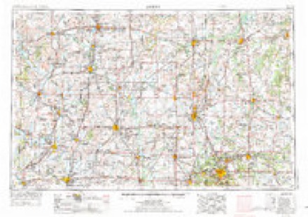
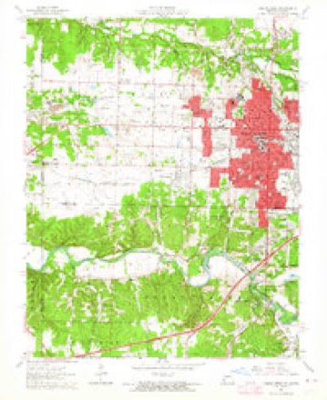
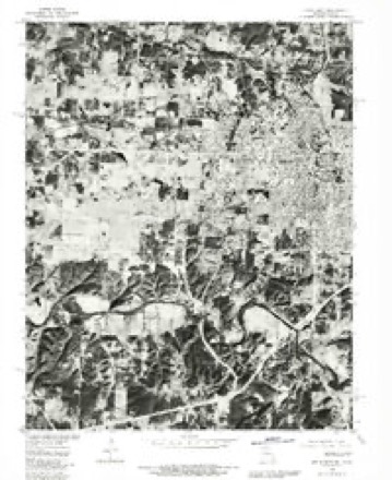
19 topographic sheets cover this place, the earliest surveyed in 1886 and the latest in 1991. It stands in Galena Township. It lies in ZIP code area 64801. The Survey maps it on the Joplin West quadrangle.
Topographic sheets covering this place
11 surveys from 19 printed sheetsMatched by testing this settlement's coordinate against the published boundary of every sheet in the United States Geological Survey's historical collection. Each opens the scanned sheet at the Survey.
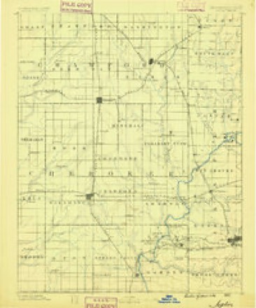
- 1886 USGS Joplin quadrangle1:125000
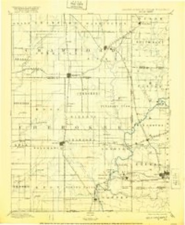
- 1894 USGS Joplin quadrangle1:125000, 6 printings
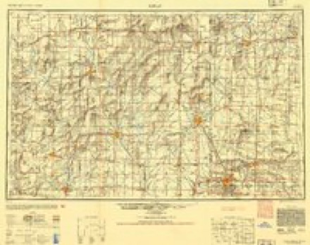
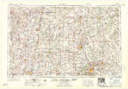
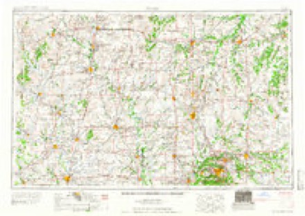
- 1947 USGS Joplin quadrangle1:250000
- 1949 USGS Joplin quadrangle1:250000
- 1954 USGS Joplin quadrangle1:250000, 3 printings
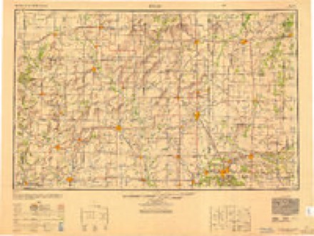
- 1958 USGS Joplin quadrangle1:250000
- 1959 USGS Joplin quadrangle1:250000
- 1962 USGS Joplin West quadrangle1:24000, 2 printings
- 1980 USGS Joplin West quadrangle1:24000
- 1986 USGS Joplin quadrangle1:100000
- 1991 USGS Joplin quadrangle1:100000
In the county-history sources
121 words on this townshipThe History of Jasper County, Missouri : Including a Condensed History of the State, a Complete History of Carthage and Joplin, Other Towns and Townships : Together with Numerous Portraits of Prominent Men : Cuts of Elegant Residences and Public Buildings : a Sectional Map of the County : Biographical Sketches of Many Enterprising Farmers, Merchants, Mechanics, Professional, and Business Men : the Constitution of the State : an Abstract of Laws : an Elaborate History of Jasper County - Its Topography, Natural History, Pioneers, Organization, Political History, Courts and Bar, Religious, Educational, Medical, Agricultural, Mining, and Horticultural, Its Commercial and Business Interests, Etc, published 1883 has no passage naming this settlement, which was common for smaller places. Its township is covered in full.
The chapter on Galena Township covers the township.
Read the chapter on Galena Township - 121 words.
Fires near this place
78 since 1992Regional context, not property-specific evidence. The federal wildfire occurrence database lists 78 fires within 5 miles of Central City between 1992 and 2020, burning about 898 acres in total. 1 started naturally. None was recorded as arson. Distance is straight-line from the map coordinates, so a fire counted here may appear on a neighbouring settlement's page as well.
| Reported cause | Fires |
|---|---|
| Debris and open burning | 38 |
| Missing data/not specified/undetermined | 29 |
| Equipment and vehicle use | 4 |
| Smoking | 3 |
| Recreation and ceremony | 2 |
| Natural | 1 |
| Power generation/transmission/distribution | 1 |
The most recent of them, most recent first, with the day each was reported and the service that recorded it.
| Date | Cause | Size | Reported by | Name on the report |
|---|---|---|---|---|
| 6 August 1996 | Missing data/not specified/undetermined | 2.0 acres | Missouri Department of Conservation | not named |
| 2 August 2018 | Debris and open burning | 2.0 acres | Kansas Forest Service | 148 |
| 17 August 2018 | Natural | under an acre | Missouri Department of Conservation | 177462-07341-08172018-1253 |
| 12 August 2015 | Debris and open burning | 5.0 acres | Kansas Forest Service | 156 |
| 6 July 2015 | Debris and open burning | 5.0 acres | Kansas Forest Service | 138 |
| 5 July 2015 | Missing data/not specified/undetermined | 1.0 acres | Kansas Forest Service | 137 |
| 24 July 2019 | Missing data/not specified/undetermined | under an acre | Missouri Department of Conservation | 179008-07341-07242019-1600 |
| 15 July 2015 | Missing data/not specified/undetermined | 1.0 acres | Kansas Forest Service | 141 |
Settlements close enough to share some of these fires:
Mines and quarries near this place
10 of 930 shownRegional context, not property-specific evidence. The federal mineral resources record lists 930 workings within 5 miles of Central City: 929 past producers, 1 producer. 1 still produces. What was taken out: Lead, Zinc, Zinc, Lead, Zinc, Stone, Crushed/Broken. Distance is straight-line from the map coordinates, so a quarry counted here may appear on a neighbouring settlement's page as well.
| Where | Site | Commodity | Status | Recorded |
|---|---|---|---|---|
| Kirshmann-Jeffries Quarry | Stone, Crushed/Broken, Marble, Dimension | Past Producer | ||
| Klondike Pit | Clay | Past Producer | ||
| Mattes Bros. Chat Plant | Sand and Gravel, Construction | Producer | ||
| Opossum Hollow Quarry | Stone, Crushed/Broken | Past Producer | ||
| Taxbox Quarry | Stone, Crushed/Broken | Past Producer | ||
| Belleville Strip Pit | Zinc | Past Producer | 1900 | |
| Pearl Lease | Zinc | Past Producer | 1910, 1912 | |
| Unknown | Zinc | Past Producer | 1890, 1916 | |
| W. C. Mine | Zinc | Past Producer | 1926, 1942 | |
| 1915 Mine West Shafts | Zinc, Lead | Past Producer |
Storms near this place
8 since 2008Regional context, not property-specific evidence. The National Weather Service names Central City in 8 storm reports between 2008 and 2024: 3 hail, 2 flash flood, 2 thunderstorm wind, 1 tornado. The reports record 158 deaths and 1150 injuries. Each account below is quoted exactly as the forecast office filed it, from the NOAA Storm Events Database, and each date opens the federal record of that event.
| When | Event | Place named | Harm | What the report says |
|---|---|---|---|---|
| May 2011 | Tornado (EF5) | Central City | 158 killed, 1150 hurt, $2,800,000,000 | National Weather Service survey teams rated the tornado that tracked across the southwest through east central portion of Joplin, Missouri, as an EF5 tornado. Maximum winds were estimated to have exceeded 200 miles per hour. The tornado had a maximum width of one mile and an overall path length of nearly 21.6 miles, nearly nine miles of which occurred in Jasper County.||The tornado killed 158 directly, three indirectly, and injured over 1150 people. Sadly, on May 24 a police officer who was volunteering from another department, was struck by lightning while serving in the response efforts and later died. Equally, a 56 year old man who had been included as a direct fatality was later determined to have died of a heart attack. Over 10,200 people filed for disaster assistance following the tornado.||The EF-5 rating (greater than 200 mph wind speeds) was mainly arrived at by the total destruction of vehicles, including some vehicles tossed several blocks and semi trucks thrown a quarter of a mile. Parking stops weighing over 300 pounds and re-barred into asphalt were uprooted and tossed. Other factors in the rating included damage to reinforced concrete structures, and that St. Johns Hospital building structure was compromised. ||Seven thousand homes were severely damaged or destroyed and another 900 damaged. Other substantial buildings damaged or destroyed included the Joplin High School and Technical Center along with five other city schools. Numerous retailers including Home Depot, Sports Academy, Dillons, and Walmart were also destroyed. The most substantial building impacted was St John's hospital which will be razed due to the tornado. It was calculated that 2 million cubic yards of debris is attributable to the storm across its relatively short length on the ground.||The tornado initially touched down one half mile southwest of the intersection of JJ Highway and Newton Road in Newton County where several large trees were toppled. ||The tornado rapidly intensified as it moved toward the intersection of Country Club Drive and 32nd Street where it crossed into Jasper County. Damage became more widespread as the tornado crossed Maiden Lane, breaking nearly all windows on three sides of St. Johns Hospital as well as damage to the roof and exterior walls on several floors. Two patients on oxygen were indirectly suffocated when the generator and a backup generator were damaged after power was cut off. Three additional patients may have succumbed similarly though sufficient data as to the cause of death was not available. An additional indirect fatality occurred due to psychological trauma.||The tornado further intensified as it destroyed homes and businesses to the immediate east and north of the hospital. A church school was completely destroyed with the exception of a portion of the sanctuary. Significant damage to the Greenbriar Nursing Home resulted in the death of 20 mostly elderly patients. ||The tornado continued to destroy hundreds of frame homes between 32nd and 20th Streets, leading to nearly a fifth of the deaths. Three story apartment complexes had the top two floors removed; other two story complexes were partially leveled. Fourteen deaths occurred in apartments along the track. Eleven additional deaths occurred in churches along this path. There were two fatalities in a mobile home (Joplin has a city ordinance prohibiting mobile home parks). ||Well built structures that were heavily damaged or destroyed along this area included the Joplin High School, Franklin Technical Center and Irving Elementary, all of which were free of students due to the weekend. The tornado also damaged three additional elementary schools. A bank was totally destroyed with the exception of the vault. A large grocery store was also destroyed. ||The tornado crossed Rangeline Road near 20th Street. Damage included significant to complete damage to several restaurants and large long-span retail buildings; including Home Depot, Sports Academy and Walmart in this area. Twenty deaths occurred indoors or in the parking lots of these structures. Semi trucks on the back side of Walmart were thrown more than a quarter mile.||The tornado continued to move eastward along and south of 20th Street destroying numerous warehouse style facilities, a portion of Joplin East Middle School, and residences through Duquesne Road.||The tornado continued destroying numerous homes as it began weakening. It turned southeast toward Interstate 44 where it threw several semi trucks as it crossed the interstate and moved into Newton County at 32nd Street just west of Kodiak Road. |
| October 2018 | Thunderstorm Wind | Central City | $2,000 | A portion of a car port roof was damaged near the intersection of Central City Road and West 7th Street. The Joplin airport ASOS measured a 49mph wind gust a few minutes later at 2:29 pm. The report was received via social media. |
| May 2024 | Hail | Central City | - | Report of quarter size hail at 20th and Central. |
| April 2019 | Thunderstorm Wind | Central City | - | Multiple reports of downed large tree limbs were received. |
| October 2019 | Hail | Central City | - | A report of golf ball sized hail was received from the Iron Gates area via social media. No damage was reported. |
| July 2009 | Flash Flood | Central City | - | A slow moving complex of thunderstorms producing heavy rainfall flooded portions of Schifferdecker Road in Joplin. |
| September 2008 | Flash Flood | Central City | - | Three to five inches of rain fell over Jasper County resulting in widespread flooding of small streams and creeks. Flooding also occurred in Joplin at the intersection of 7th Street and Maiden Lane. Also, Turkey Creek flooded a low water crossing on Murphy Street. |
| July 2008 | Hail | Central City | - | no account filed |
Nearest settlements
The eight closest, with where each one stands in the county. Distances are straight-line, computed from the Geographic Names Information System coordinates.
| Map | Place | Distance | Sheets |
|---|---|---|---|
| Belle Center | 1.1 miles | 19 | |
| Dubuque (historical) | 1.6 miles | 19 | |
| Chitwood | 1.9 miles | 19 | |
| Iron Gates | 2.0 miles | 19 | |
| Belleville | 2.7 miles | 19 | |
| Blendville (historical) | 3.3 miles | 19 | |
| West Joplin | 3.4 miles | 19 | |
| Lone Elm | 3.6 miles | 19 |
Provenance
This settlement is recorded in the Geographic Names Information System as feature 739981. The sheet list is computed by point-in-boundary test against the United States Geological Survey's historical topographic inventory. Both are works of the United States government and carry no copyright under 17 U.S.C. 105.
Wildfire. Short, Karen C. 2022. Spatial wildfire occurrence data for the United States, 1992-2020 [FPA_FOD_20221014]. 6th Edition. Fort Collins, CO: Forest Service Research Data Archive. https://doi.org/10.2737/RDS-2013-0009.6 Collected with United States Government funding and usable without additional permissions or fees.
Mines and quarries. USGS Mineral Resources Data System (MRDS) https://mrdata.usgs.gov/mrds/ A work of the United States government, no copyright under 17 U.S.C. 105.
Storms. NOAA National Centers for Environmental Information, Storm Events Database https://www.ncei.noaa.gov/stormevents/ A work of the United States government, no copyright under 17 U.S.C. 105. Narratives are quoted verbatim from the National Weather Service report and are not edited or summarised.