 Block
Clyde, Missouri
11 topographic sheets cover this place, the earliest surveyed in 1940 and the latest in 1986. It stands in Jefferson Township. It lies in ZIP code area 64432. The Survey maps it on the Ravenwood quadrangle. 55 people lived here at the 2020 count. It stands 1,027 feet above sea level.
Population over time
2 figuresClyde fell from 82 to 55 between 2010 and 2020. These are the recorded population figures Wikidata holds for this place, reached through the Geographic Names Information System number this page is keyed on rather than by name, so they belong to this place and not to another of the same name. Most are census counts, but not all are: an early figure may be a founding or settlement estimate, and an estimate published within five years of a census is left out. The change column is computed, and is left blank where more than 20 years separate a figure from the one before it, because a gap that long is not a change between two counts.
| Year | People | Change |
|---|---|---|
| 2010 | 82 | |
| 2020 | 55 | -27 (-33%) |
Topographic sheets covering this place
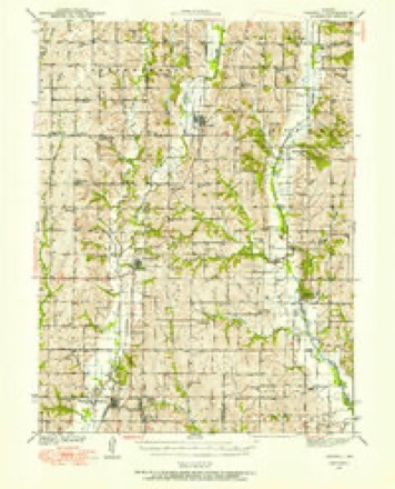
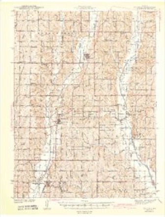
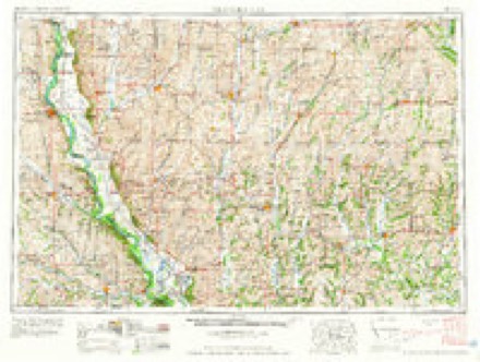
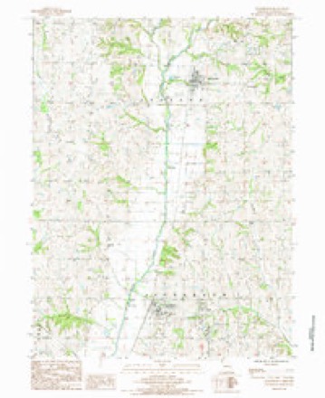
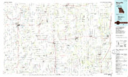
7 surveys from 11 printed sheetsMatched by testing this settlement's coordinate against the published boundary of every sheet in the United States Geological Survey's historical collection. Each opens the scanned sheet at the Survey.
- 1940 USGS Parnell quadrangle1:62500
- 1943 USGS Parnell quadrangle1:62500, 2 printings
- 1955 USGS Nebraska City quadrangle1:250000, 3 printings
- 1957 USGS Nebraska City quadrangle1:250000
- 1958 USGS Nebraska City quadrangle1:250000
- 1985 USGS Ravenwood quadrangle1:24000
- 1986 USGS Maryville quadrangle1:100000, 2 printings
In the county-history sources
8,539 words on this townshipThe History of Nodaway County, Missouri, Containing a History of the County, Its Cities, Towns, Etc., Biographical Sketches of Its Citizens, published 1882 names this settlement in its chapter on Jefferson Township. These are the passages that mention it, exactly as the scans read.
In the year 1880, a Monastery was erected in Conception, but during the present year it has been elevated to the dignity of an Abbey, and called Benedictine Abbey New Englberg. The portion completed is 33x140 feet with ell 40x60 feet, four stories high with stone basement and attic. There are 46 rooms and 5 halls. On the north end of the present building the new church will be built, and will be 80x208, 66 feet in height. It will run east and west and will be one of the most magnificent structures of the kind in the United States. It will be surmounted by three grand towers reaching some 140 feet in the air from the ground. At the southeast corner of the church another wing similar to the one now completed will be built and extended to the southeast corner of the present building, making the total building in size 208 X208 feet square, covering over one acre of ground. It is to be built of cut stone and pressed brick. The material for the buildings is mostly obtained on their farm. The whole structure will be built in pure Roman style with court in the center, and will cost some $250,000. It will require upwards of 3,000,000 brick to complete the building.
Passage source: The History of Nodaway County, Missouri, Containing a History of the County, Its Cities, Towns, Etc., Biographical Sketches of Its Citizens, published 1882.
This town is located on the Wabash, St. Louis & Pacific Railroad, about two miles northeast of Conception, and eleven miles southeast of Maryville. The post office is called Clyde, which name originated in the following manner ; At a public meeting in July, 1880, composed of some forty citizens, it was thought desirable to give a name to the new post office. Mr. Frank Bellows had recently been in Canada, and had brought back some Clydesdale horses. Some one in the meeting thought of this, and proposed that the new post office should be called Clyde. The proposition was accepted and the name adopted by the meeting, and subsequently by the Post Office Department at Washington.
Passage source: The History of Nodaway County, Missouri, Containing a History of the County, Its Cities, Towns, Etc., Biographical Sketches of Its Citizens, published 1882.
for the Abbey, and one for the people. The library for the Abbey contains about 3,000 volumes, some books being very old and rare. We noticed several books printed in the ancient black letter. One commentary printed in Basil dates back to 1523, and a book on Canon Law was printed as early as 1500.
Passage source: The History of Nodaway County, Missouri, Containing a History of the County, Its Cities, Towns, Etc., Biographical Sketches of Its Citizens, published 1882.
Machine-read from a century-old scan, so expect the errors a machine makes: misspelled names, dropped words, stray characters.
Read the whole chapter on Jefferson Township - it names this place 2 more 2 times.
Mines and quarries near this place
4 within 5 milesRegional context, not property-specific evidence. The federal mineral resources record lists 4 workings within 5 miles of Clyde: 4 past producers. None of them still produces. What was taken out: Sand and Gravel, Construction. Distance is straight-line from the map coordinates, so a quarry counted here may appear on a neighbouring settlement's page as well.
| Where | Site | Commodity | Status | Recorded |
|---|---|---|---|---|
| Conception Junction Sand Pit+Plant | Sand and Gravel, Construction | Past Producer | ||
| Unk | Sand and Gravel, Construction | Past Producer | ||
| Unk | Sand and Gravel, Construction | Past Producer | ||
| Unk | Sand and Gravel, Construction | Past Producer |
Storms near this place
4 since 2004Regional context, not property-specific evidence. The National Weather Service names Clyde in 4 storm reports between 2004 and 2011: 2 hail, 2 thunderstorm wind. No death or injury is recorded in these reports. Each account below is quoted exactly as the forecast office filed it, from the NOAA Storm Events Database, and each date opens the federal record of that event.
| When | Event | Place named | Harm | What the report says |
|---|---|---|---|---|
| August 2011 | Thunderstorm Wind | Clyde | $10,000 | North facing windows of Bendictine Sister Convent were blown out. Numerous trees were uprooted and limbs blown down. Siding from buildings was removed, and an attic hatch was blown off. Thunderstorm wind gusts were estimated up to 100 mph. |
| May 2004 | Thunderstorm Wind | Clyde | - | Trees and power lines down. |
| August 2011 | Hail | Clyde | - | no account filed |
| May 2004 | Hail | Clyde | - | no account filed |
Nearest settlements
The eight closest, with where each one stands in the county. Distances are straight-line, computed from the Geographic Names Information System coordinates.
| Map | Place | Distance | Sheets |
|---|---|---|---|
| Conception Junction | 1.2 miles | 11 | |
| Conception | 2.1 miles | 13 | |
| Monastery | 3.9 miles | 13 | |
| Ravenwood | 5.7 miles | 11 | |
| Bedison | 5.9 miles | 11 | |
| Guilford | 7.7 miles | 13 | |
| Arkoe | 8.5 miles | 11 | |
| Barnard | 10.5 miles | 12 |
Elsewhere
Matched on this settlement's Geographic Names Information System number rather than its name, so it cannot be a different place of the same name in another state.
| Wikipedia article on Clyde | An encyclopaedic summary. Its text is share-alike, so it is linked here rather than copied. |
| Wikidata item Q777014 | The structured record the population and elevation above come from. Public domain (CC0). |
Provenance
This settlement is recorded in the Geographic Names Information System as feature 716022. The sheet list is computed by point-in-boundary test against the United States Geological Survey's historical topographic inventory. Both are works of the United States government and carry no copyright under 17 U.S.C. 105.
Mines and quarries. USGS Mineral Resources Data System (MRDS) https://mrdata.usgs.gov/mrds/ A work of the United States government, no copyright under 17 U.S.C. 105.
Storms. NOAA National Centers for Environmental Information, Storm Events Database https://www.ncei.noaa.gov/stormevents/ A work of the United States government, no copyright under 17 U.S.C. 105. Narratives are quoted verbatim from the National Weather Service report and are not edited or summarised.