 Block
Daisy, Missouri
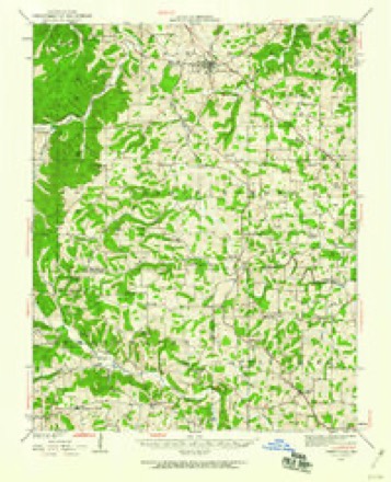
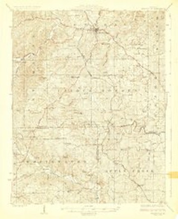
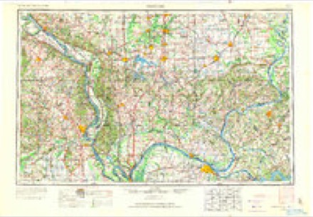
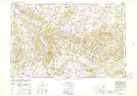
18 topographic sheets cover this place, the earliest surveyed in 1923 and the latest in 1987. It stands in Apple Creek Township. It lies in ZIP code area 63769. The Survey maps it on the Friedheim quadrangle. It stands 600 feet above sea level.
Topographic sheets covering this place
11 surveys from 18 printed sheetsMatched by testing this settlement's coordinate against the published boundary of every sheet in the United States Geological Survey's historical collection. Each opens the scanned sheet at the Survey.
- 1923 USGS Perryville quadrangle1:62500, 2 printings
- 1924 USGS Perryville quadrangle1:62500, 2 printings
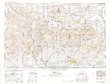
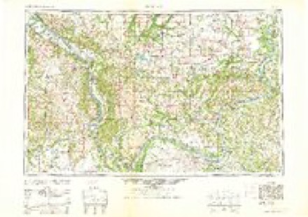
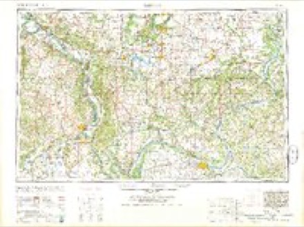
- 1949 USGS Paducah quadrangle1:250000, 2 printings
- 1950 USGS Paducah quadrangle1:250000
- 1954 USGS Paducah quadrangle1:250000, 2 printings
- 1961 USGS Paducah quadrangle1:250000, 2 printings
- 1964 USGS Paducah quadrangle1:250000, 2 printings
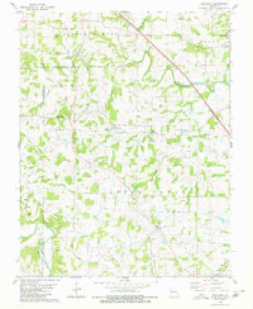
- 1980 USGS Friedheim quadrangle1:24000, 2 printings
- 1984 USGS Carbondale quadrangle1:100000
- 1986 USGS Carbondale quadrangle1:100000
- 1987 USGS Paducah quadrangle1:250000
Mines and quarries near this place
3 within 5 milesRegional context, not property-specific evidence. The federal mineral resources record lists 3 workings within 5 miles of Daisy: 3 past producers. None of them still produces. What was taken out: Stone, Crushed/Broken, Sand and Gravel, Construction. Distance is straight-line from the map coordinates, so a quarry counted here may appear on a neighbouring settlement's page as well.
| Where | Site | Commodity | Status | Recorded |
|---|---|---|---|---|
| Unknown S&G | Sand and Gravel, Construction | Past Producer | ||
| Unknown Ls | Stone, Crushed/Broken | Past Producer | ||
| Unknown Ls | Stone, Crushed/Broken | Past Producer |
Storms near this place
6 since 1997Regional context, not property-specific evidence. The National Weather Service names Daisy in 6 storm reports between 1997 and 2015: 2 hail, 2 thunderstorm wind, 1 flood, 1 tornado. No death or injury is recorded in these reports. Each account below is quoted exactly as the forecast office filed it, from the NOAA Storm Events Database, and each date opens the federal record of that event.
| When | Event | Place named | Harm | What the report says |
|---|---|---|---|---|
| March 2008 | Flood | Daisy | $2,800,000 | Historic flooding occurred after 12 to 14 inches of rain fell in 48 hours. Widespread flooding of creeks and roads occurred. A dramatic water rescue was conducted on Highway 34 at the Byrd Creek Bridge, where a pickup truck was swept off the road. A passing driver made a risky attempt to pull the driver to safety. Nobody was injured. At least four vehicles in other areas around the county became stranded in floodwaters, requiring emergency personnel to conduct water rescues. The county emergency management director estimated that 200 homes and 13 businesses were evacuated. Evacuation shelters were opened in the county. The villages of Allenville and Delta were under voluntary evacuation orders. Access to Allenville was restricted by deputy sheriffs. A Coast Guard helicopter and boat assisted in search and rescue operations. Residents on a couple of streets in Cape Girardeau were asked to evacuate due to the potential failure of an earthen dam. Mudslides closed several streets. In Dutchtown, water rose over the top of the Hubble Creek levee. Some residents were ordered to evacuate, and major roads leading into town were closed. Throughout the county, a number of vehicles and buildings were flooded, including a school. More than 50 county roads were severely affected by the flood, including washouts of culverts and roadways. The Cape Girardeau airport shut down operations to all but emergency helicopters because of flooded runways. Countywide, at least 184 homes were damaged and one was destroyed. Eleven businesses were damaged. |
| April 2011 | Thunderstorm Wind | Daisy | $100,000 | Numerous trees and power lines, along with some outbuildings, were blown down. A barn was blown over near the intersection of Highways B and AA. Many roads were blocked and impassable. A trailer was destroyed on Highway E about a mile west of Interstate 55. |
| April 2015 | Tornado (EF0) | Daisy | $6,000 | Numerous trees and tree limbs were blown down. Peak winds were estimated near 75 mph. |
| July 1997 | Hail | Daisy | $3,000 | Nickel size hail fell in northwest Cape Girardeau County. |
| July 2006 | Thunderstorm Wind | Daisy | $2,000 | At Daisy, three-foot diameter trees were blown down. Near Millersville, a cable line was knocked down and struck a vehicle traveling on Highway 72. The road was blocked temporarily. Nobody was injured. |
| July 2010 | Hail | Daisy | - | no account filed |
Nearest settlements
The eight closest, with where each one stands in the county. Distances are straight-line, computed from the Geographic Names Information System coordinates.
| Map | Place | Distance | Sheets |
|---|---|---|---|
| Critesville | 2.3 miles | 18 | |
| Arnsberg | 3.3 miles | 18 | |
| Friedheim | 3.5 miles | 18 | |
| Kurreville | 3.7 miles | 18 | |
| Oak Ridge | 3.7 miles | 24 | |
| Conrads Mill | 3.8 miles | 18 | |
| Kimmelton (historical) | 4.2 miles | 18 | |
| Hilderbrand | 4.8 miles | 18 |
Elsewhere
Matched on this settlement's Geographic Names Information System number rather than its name, so it cannot be a different place of the same name in another state.
| Wikipedia article on Daisy | An encyclopaedic summary. Its text is share-alike, so it is linked here rather than copied. |
| Wikidata item Q4120317 | The structured record the population and elevation above come from. Public domain (CC0). |
Provenance
This settlement is recorded in the Geographic Names Information System as feature 716638. The sheet list is computed by point-in-boundary test against the United States Geological Survey's historical topographic inventory. Both are works of the United States government and carry no copyright under 17 U.S.C. 105.
Mines and quarries. USGS Mineral Resources Data System (MRDS) https://mrdata.usgs.gov/mrds/ A work of the United States government, no copyright under 17 U.S.C. 105.
Storms. NOAA National Centers for Environmental Information, Storm Events Database https://www.ncei.noaa.gov/stormevents/ A work of the United States government, no copyright under 17 U.S.C. 105. Narratives are quoted verbatim from the National Weather Service report and are not edited or summarised.