 Block
Elmwood, Missouri
16 topographic sheets cover this place, the earliest surveyed in 1890 and the latest in 1982. It stands in Elmwood Township. It lies in ZIP code area 65321. The Survey maps it on the Blackburn quadrangle.
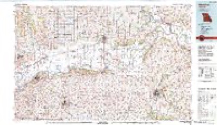
Topographic sheets covering this place
9 surveys from 16 printed sheetsMatched by testing this settlement's coordinate against the published boundary of every sheet in the United States Geological Survey's historical collection. Each opens the scanned sheet at the Survey.
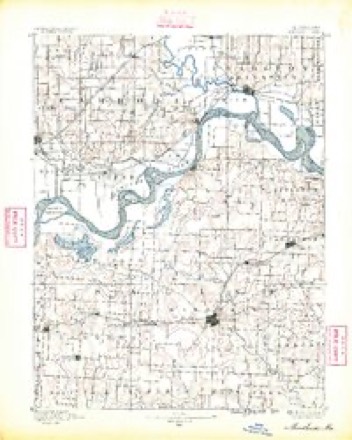
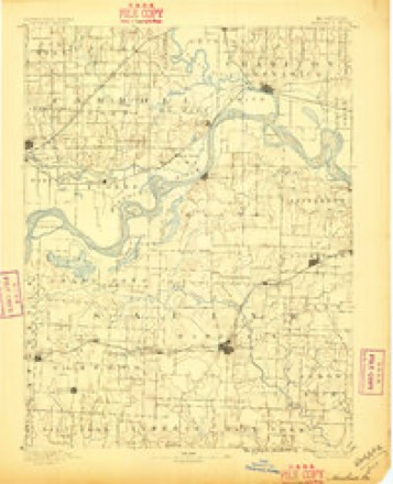
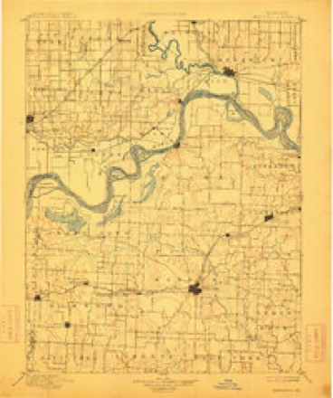
- 1890 USGS Marshall quadrangle1:125000
- 1892 USGS Marshall quadrangle1:125000
- 1901 USGS Marshall quadrangle1:125000, 5 printings
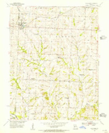
- 1953 USGS Blackburn quadrangle1:24000, 2 printings
- 1953 USGS Moberly quadrangle1:250000
- 1954 USGS Moberly quadrangle1:250000, 3 printings
- 1957 USGS Moberly quadrangle1:250000
- 1960 USGS Moberly quadrangle1:250000
- 1982 USGS Marshall quadrangle1:100000




In the county-history sources
507 words on this townshipHistory of Saline County, Missouri, Carefully Written and Compiled from the Most Authentic Official and Private Sources ... with a Condensed History of Missouri; the State Constitution; a Military Record of Its Volunteers in Either Army of the Great Civil War ... Biographical Sketches of Prominent Men .., published 1881 names this settlement in its chapter on Elmwood Township. These are the passages that mention it, exactly as the scans read.
The town of Elmwood was laid out in the year 1867. Its founders were R. F. Canterbury and Dr. George Hereford, The postoflSce was established the same year, and Wm. W. Kennedy was the first postmaster. R. H. Brady built the first house for Canterbury & Hereford, who were proprietors of the first store.
Elmwood Lodge, No. 215, I. O. G. T., was organized April 6, 1879, by Dr. Holland, of Marshall. The charter members were S. N. Beatie, Mrs. S. E. Hays, W. L. Beatie, S. T. Dysart, Mrs. M. D. Francisco, G. T. Martin, Joe Francisco, Robert Green, G. T. Nichols, J. W. Garrard, Mary and Belle Beatie, W. H. Ireland, W. A. Smith, and others. The first officers were S. N. Beatie, W. C. T.; Mrs. S. E. Hays, W. V. T.; W. L. Beatie, W. C; G. T. Martin, secretary; S. T. Dysart, W. F. S.; Mrs. M. D. Francisco, W, T.; Joe Francisco, N. M.; Robert Green, I. G.; G. T. Nichols, O. G. The present officers are S. N. Beatie, L. D.; G. T. Martin, P. W. C. T.; T. J. Dysart, W. C. T.; Mary Kennedy, W. V. T.; A. Hunter, secretary; G. R. Davis, F. S.; Belle Beatie, treasurer; J. A. Halley, C; George L. Harris, M.; Florence Kennedy, D. M.; Mattie Kennedy, I. G.; H. G. Dysart, O. G.; Sallie VParks, assistant secretary; MoUie Hays, R. S.; Virgie Davis, L. S. The present number of members is 113. The hall is over the Methodist Church, South, built by the members of that church, and sold to Elmwood Grange, No. 210, and is now owned by the grange. It is rented for the use of this lodge at $4 per quarter. It is a frame, and cost the grange $500. The P. W. C. T. states that when this lodge was organized this neighborhood was noted for the number of its dissipated young men, and the village of Elmwood sold more whisky than any other town in the county of twice its size. Soon after the organization of the lodge the liquor dealers closed up, and there has been no whisky sold in the place since. " Now," says the gentleman referred to, " we have as orderly and well-behaved a community as there is anywhere."
Machine-read from a century-old scan, so expect the errors a machine makes: misspelled names, dropped words, stray characters.
Mines and quarries near this place
1 within 5 milesRegional context, not property-specific evidence. The federal mineral resources record lists 1 working within 5 miles of Elmwood: 1 past producer. None of them still produces. What was taken out: Stone, Crushed/Broken. Distance is straight-line from the map coordinates, so a quarry counted here may appear on a neighbouring settlement's page as well.
| Where | Site | Commodity | Status | Recorded |
|---|---|---|---|---|
| Unknown - Ls | Stone, Crushed/Broken | Past Producer |
Storms near this place
1 since 2001Regional context, not property-specific evidence. The National Weather Service names Elmwood in 1 storm report in 2001: 1 thunderstorm wind. No death or injury is recorded in these reports. Each account below is quoted exactly as the forecast office filed it, from the NOAA Storm Events Database, and each date opens the federal record of that event.
| When | Event | Place named | Harm | What the report says |
|---|---|---|---|---|
| September 2001 | Thunderstorm Wind | Elmwood | - | no account filed |
Nearest settlements
The eight closest, with where each one stands in the county. Distances are straight-line, computed from the Geographic Names Information System coordinates.
| Map | Place | Distance | Sheets |
|---|---|---|---|
| Blackburn | 3.7 miles | 16 | |
| Mount Leonard | 4.4 miles | 16 | |
| Salt Springs | 5.4 miles | 16 | |
| Cretcher | 6.3 miles | 16 | |
| Sweet Springs | 7.3 miles | 23 | |
| Emma | 7.4 miles | 23 | |
| Shackleford | 7.8 miles | 16 | |
| Malta Bend | 9.4 miles | 16 |
Provenance
This settlement is recorded in the Geographic Names Information System as feature 717549. The sheet list is computed by point-in-boundary test against the United States Geological Survey's historical topographic inventory. Both are works of the United States government and carry no copyright under 17 U.S.C. 105.
Mines and quarries. USGS Mineral Resources Data System (MRDS) https://mrdata.usgs.gov/mrds/ A work of the United States government, no copyright under 17 U.S.C. 105.
Storms. NOAA National Centers for Environmental Information, Storm Events Database https://www.ncei.noaa.gov/stormevents/ A work of the United States government, no copyright under 17 U.S.C. 105. Narratives are quoted verbatim from the National Weather Service report and are not edited or summarised.