 Block
Garrettsburg, Missouri
15 topographic sheets cover this place, the earliest surveyed in 1925 and the latest in 1986. It stands in Tremont Township. It lies in ZIP code area 64443. It stands on Riley Branch. The Survey maps it on the Agency quadrangle.
Topographic sheets covering this place
7 surveys from 15 printed sheetsMatched by testing this settlement's coordinate against the published boundary of every sheet in the United States Geological Survey's historical collection. Each opens the scanned sheet at the Survey.
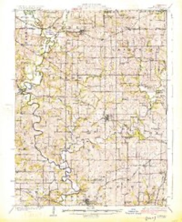
- 1925 USGS Gower quadrangle1:62500, 3 printings
- 1950 USGS Kansas City quadrangle1:250000
- 1954 USGS Kansas City quadrangle1:250000
- 1956 USGS Kansas City quadrangle1:250000, 4 printings
- 1960 USGS Kansas City quadrangle1:250000, 3 printings
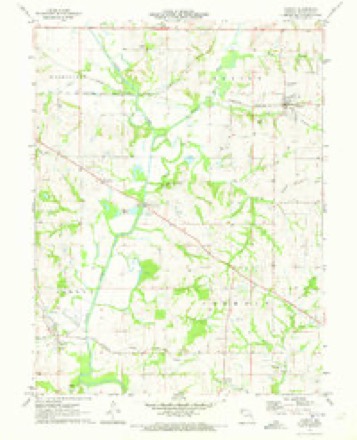
- 1971 USGS Agency quadrangle1:24000
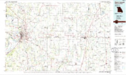
- 1986 USGS Saint Joseph quadrangle1:100000, 2 printings




In the county-history sources
4,254 words on this townshipThe History of Buchanan County, Missouri : Containing a History of the County, Its Cities, Towns, Etc., Biographical Sketches of Its Citizens, Buchanan County in the Late War, General and Local Statisics, Portraits of Early Settlers and Prominent Men, History of Missouri, Map of Buchanan County, Etc., Etc, published 1881 names this settlement in its chapter on Tremont Township. These are the passages that mention it, exactly as the scans read.
farmer and merchant, section 10, post office Garrettsburg, was born September 2, 1844, in Buchanan County, Missouri, and has lived here all his life. In his early days he was a farmer. In 1864, he visited Montana on an exploring expedition in the mountains. He married: Miss Mary J- Whitson in 1866. She was born November 27, 1848, in Missouri. They have had four children : William S., born July 18, 1870; Mary A., born January 18, 1873; Franklin J., born July 16, 1879; "^"^ ^" infant, born October 17, 1880. In 1867, he ran a blacksmith shop and farmed. December 3, 1879, commenced general merchandising, and has done a prosperous business. His stock consists of dry goods, hardware, drugs, hats, caps, notions, boots and shoes, groceries, &c. He is postmaster at Garrettsburg, and has filled the office of school director. In the Masonic order he has achieved the rank of Knight Templar. He is a member of the I. O. O. F., and is also a Granger. He donated half an acre of land for school purposes in his neighborhood. Was a member, during the war, of Company D, 8ist regiment Pawpaw Militia, under Colonel Scott. He owns 447 acres of land, 330 acres of which he inherited from his father's estate. This is mostly under fence and in a good state of cultivation with excellent improvements, including orchard, &c., and is stocked with abundance of farming implements. He also owns a. store house 20x36 with a cellar 18x20, wjth 2 feet stone wall, 7 feet deep. Mr. Greenai'd has always endeavored to do his part as a man, assisting the needy and afflicted whenever called on.
farmer and stock raiser, section 2, postoffice Garrettsburg, was born June 22, 1827, in Lee County, Virginia, and came west with his parents in the fall of 1838, settling in Buchanan County, Missouri. His father took up a claim, built a cabin, and commenced farming. This claim is now known as the Waller Grove farm. Mr. Smith, during his life-time, did his share towards making the county whaMt now is. He died September 9, 1849. John N. spent his boyhood days on the farm, and received his education in the schools of those days. In 1849, he commenced raising hemp, and thus continued until the war broke out in 1861. In July,
farmer and stock raiser, section 2, postoffice Garrettsburg, was born April 20, 1837, in Fifeshire County, Scotland. His parents were natives of that country and came to the United States when John was about four years of age. Landed at New York city and came west and located in Washington, Calhoun County, Missouri. His father became one of the leading men of that county ; represented his district in the Legis- lature and held the position of county supervisor some thirteen years. John spent his boyhood days on the farm and there received his education. He has made farming his occupation through life. He came to Buchanan County in the spring of 1863 and settled on his present farm. In the spring of 1865 he commenced fr.eighting from St. Joseph to Denver, which he continued for two years. Then again turned his attention to farming. Mr. W. owns eighty acres of land. He was married March 14, 1881, to Miss Mary Rose, a native of Clinton County, Missouri. She was born June 27, 1846, and now belongs to the Baptist Church.
Machine-read from a century-old scan, so expect the errors a machine makes: misspelled names, dropped words, stray characters.
Fires near this place
8 since 2018Regional context, not property-specific evidence. The federal wildfire occurrence database lists 8 fires within 5 miles of Garrettsburg between 2018 and 2020, burning about 98 acres in total. None started naturally. 1 was recorded as arson. Distance is straight-line from the map coordinates, so a fire counted here may appear on a neighbouring settlement's page as well.
| Reported cause | Fires |
|---|---|
| Missing data/not specified/undetermined | 6 |
| Arson/incendiarism | 1 |
| Debris and open burning | 1 |
The most recent of them, most recent first, with the day each was reported and the service that recorded it.
| Date | Cause | Size | Reported by | Name on the report |
|---|---|---|---|---|
| 30 April 2018 | Missing data/not specified/undetermined | 26 acres | Missouri Department of Conservation | 176954-01180-04302018-1750 |
| 28 April 2019 | Missing data/not specified/undetermined | 1.2 acres | Missouri Department of Conservation | 179468-01110-04282019-2110 |
| 8 March 2018 | Missing data/not specified/undetermined | 21 acres | Missouri Department of Conservation | 176120-01180-03082018-1243 |
| 13 March 2018 | Arson/incendiarism | 6.4 acres | Missouri Department of Conservation | 176116-01180-03132018-1626 |
| 13 March 2018 | Missing data/not specified/undetermined | 1.9 acres | Missouri Department of Conservation | 177371-01110-03132018-1326 |
| 29 February 2020 | Missing data/not specified/undetermined | 38 acres | Missouri Department of Conservation | 190309-01180-02292020-1510 |
| 26 February 2018 | Missing data/not specified/undetermined | under an acre | Missouri Department of Conservation | 165952-01180-02262018-1624 |
| 22 December 2020 | Debris and open burning | 4.0 acres | Missouri Department of Conservation | 251336-01180-12222020-1302 |
Settlements close enough to share some of these fires:
Nearest settlements
The eight closest, with where each one stands in the county. Distances are straight-line, computed from the Geographic Names Information System coordinates.
| Map | Place | Distance | Sheets |
|---|---|---|---|
| Evansville | 1.2 miles | 15 | |
| Agency | 3.6 miles | 15 | |
| Saxton | 3.9 miles | 18 | |
| Easton | 4.0 miles | 15 | |
| Frazier | 4.4 miles | 15 | |
| Stockbridge (historical) | 4.8 miles | 17 | |
| Matney | 5.2 miles | 18 | |
| Pinkston | 6.2 miles | 18 |
Provenance
This settlement is recorded in the Geographic Names Information System as feature 740866. The sheet list is computed by point-in-boundary test against the United States Geological Survey's historical topographic inventory. Both are works of the United States government and carry no copyright under 17 U.S.C. 105.
Wildfire. Short, Karen C. 2022. Spatial wildfire occurrence data for the United States, 1992-2020 [FPA_FOD_20221014]. 6th Edition. Fort Collins, CO: Forest Service Research Data Archive. https://doi.org/10.2737/RDS-2013-0009.6 Collected with United States Government funding and usable without additional permissions or fees.