 Block
Greenville, Missouri
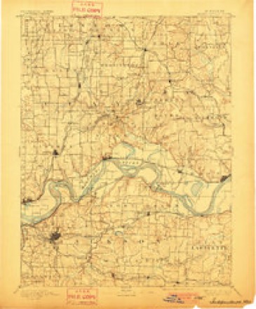
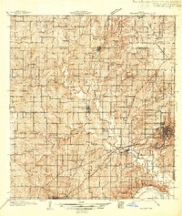
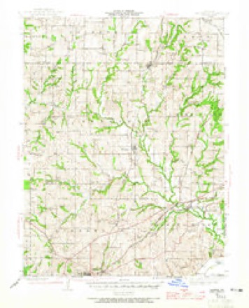
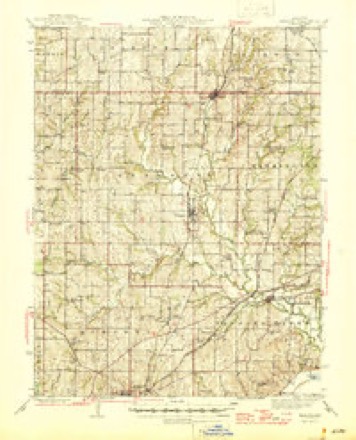
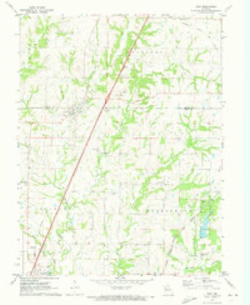
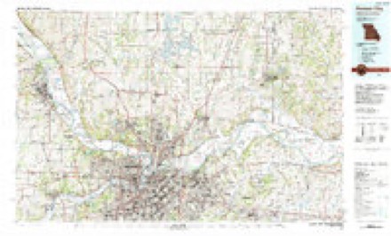
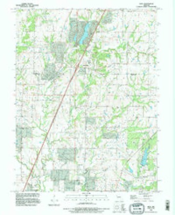
22 topographic sheets cover this place, the earliest surveyed in 1894 and the latest in 1990. It stands in Washington Township. It lies in ZIP code area 64060. The Survey maps it on the Holt quadrangle.
Topographic sheets covering this place
11 surveys from 22 printed sheetsMatched by testing this settlement's coordinate against the published boundary of every sheet in the United States Geological Survey's historical collection. Each opens the scanned sheet at the Survey.
- 1894 USGS Independence quadrangle1:125000, 5 printings
- 1936 USGS Kearney quadrangle1:48000
- 1942 USGS Kearney quadrangle1:62500, 2 printings
- 1945 USGS Kearney quadrangle1:62500, 2 printings
- 1950 USGS Kansas City quadrangle1:250000
- 1954 USGS Kansas City quadrangle1:250000
- 1956 USGS Kansas City quadrangle1:250000, 4 printings
- 1960 USGS Kansas City quadrangle1:250000, 3 printings
- 1971 USGS Holt quadrangle1:24000
- 1983 USGS Kansas City quadrangle1:100000
- 1990 USGS Holt quadrangle1:24000




What happened here
An account from the chapter on Washington township. The inset identifies its exact source book and publication year.
Chapter Xxii The Mormons
MORMON INFLUX TO JACKSON COUNTY IN 1832 - TROUBLE IN JACKSON COUNTYTOOK REFUGE IN CLAY AND OTHER COUNTIES- HOSTILITIES AGAINST MORMONS - MORMONS ARMED - FORCES CONCENTRATED AT FAR WEST - STATE MILITIA CALLED OUT - GENERAL DONIPHAN IN COMMAND^ - MORMONS SURRENDER - JOE SMITH .-YND OTHER LEADERS INDICTED - IN JAIL AT LIBERTY - LEADERS SAVED BY' DONIPHAN - GOVERNOR BOGGS MURDERED - MORMONS REMAIN AWAY FROM STATE FOR FIFTY' YEARS - AT INDEPENDENCE.
In the county-history sources
43,568 words on this townshipHistory of Clay County, Missouri, published 1920 names this settlement in its chapter on Washington Township. These are the passages that mention it, exactly as the scans read.
The first person ever hanged in Clay County for murder was a negro woman, owned by a man named Pryor, residing near Greenville, in the northeastern part of the county. She murdered, by throwing two (or three) of her children into a deep pool formed by a small water-fall, and was chasing an elder child to drown when she was apprehended. The proof was positive against her and being tried in the circuit court for the crime, she was found guilty and Judge Todd sentenced her to be hung on the 23rd day of August, 1828. There was no appeal of the case, no pardon, no commutation, no postponement of the execution, and on the day appointed was executed by Colonel Shubael Allen, then sheriff.
Passage source: History of Clay County, Missouri, published 1920.
Machine-read from a century-old scan, so expect the errors a machine makes: misspelled names, dropped words, stray characters.
Fires near this place
33 since 1992Regional context, not property-specific evidence. The federal wildfire occurrence database lists 33 fires within 5 miles of Greenville between 1992 and 2018, burning about 76 acres in total. 1 started naturally. 3 were recorded as arson. Distance is straight-line from the map coordinates, so a fire counted here may appear on a neighbouring settlement's page as well.
| Reported cause | Fires |
|---|---|
| Missing data/not specified/undetermined | 17 |
| Debris and open burning | 8 |
| Arson/incendiarism | 3 |
| Recreation and ceremony | 2 |
| Smoking | 2 |
| Natural | 1 |
The most recent of them, most recent first, with the day each was reported and the service that recorded it.
| Date | Cause | Size | Reported by | Name on the report |
|---|---|---|---|---|
| 3 September 2007 | Debris and open burning | under an acre | Missouri State Fire Marshal's Office | not named |
| 8 August 2018 | Missing data/not specified/undetermined | under an acre | Missouri Department of Conservation | 177901-08922-08082018-1512 |
| 9 July 2018 | Debris and open burning | 7.1 acres | Missouri Department of Conservation | 177358-08922-07092018-1629 |
| 8 July 2006 | Missing data/not specified/undetermined | under an acre | Missouri State Fire Marshal's Office | not named |
| 7 July 2006 | Missing data/not specified/undetermined | under an acre | Missouri State Fire Marshal's Office | not named |
| 4 July 2006 | Missing data/not specified/undetermined | under an acre | Missouri State Fire Marshal's Office | not named |
| 25 July 2011 | Missing data/not specified/undetermined | 5.0 acres | Missouri Department of Conservation | not named |
| 16 July 2004 | Natural | under an acre | Missouri State Fire Marshal's Office | not named |
Settlements close enough to share some of these fires:
Mines and quarries near this place
10 of 17 shownRegional context, not property-specific evidence. The federal mineral resources record lists 17 workings within 5 miles of Greenville: 16 past producers, 1 producer. 1 still produces. What was taken out: Stone, Crushed/Broken. Distance is straight-line from the map coordinates, so a quarry counted here may appear on a neighbouring settlement's page as well.
| Where | Site | Commodity | Status | Recorded |
|---|---|---|---|---|
| Clay County Mine and Mill | Stone, Crushed/Broken | Producer | ||
| Doc Gould Mine | Stone, Crushed/Broken | Past Producer | ||
| Hedges Quarry | Stone, Crushed/Broken | Past Producer | ||
| Kelly Quarry | Stone, Crushed/Broken | Past Producer | ||
| Lawson Quarry | Stone, Crushed/Broken | Past Producer | ||
| Mclaughlin Quarry | Stone, Crushed/Broken | Past Producer | ||
| Rice Quarry | Stone, Crushed/Broken | Past Producer | ||
| Unknown | Stone, Crushed/Broken | Past Producer | ||
| Unknown | Stone, Crushed/Broken | Past Producer | ||
| Unknown | Stone, Crushed/Broken | Past Producer |
Nearest settlements
The eight closest, with where each one stands in the county. Distances are straight-line, computed from the Geographic Names Information System coordinates.
| Map | Place | Distance | Sheets |
|---|---|---|---|
| Claysville | 2.7 miles | 19 | |
| Excelsior Springs | 3.7 miles | 18 | |
| Crescent Lake | 4.3 miles | 18 | |
| Chick (historical) | 5.0 miles | 18 | |
| Prathersville | 5.0 miles | 22 | |
| Mosby | 5.1 miles | 22 | |
| Kearney | 5.4 miles | 22 | |
| Coopers | 6.1 miles | 18 |
Provenance
This settlement is recorded in the Geographic Names Information System as feature 740885. The sheet list is computed by point-in-boundary test against the United States Geological Survey's historical topographic inventory. Both are works of the United States government and carry no copyright under 17 U.S.C. 105.
Wildfire. Short, Karen C. 2022. Spatial wildfire occurrence data for the United States, 1992-2020 [FPA_FOD_20221014]. 6th Edition. Fort Collins, CO: Forest Service Research Data Archive. https://doi.org/10.2737/RDS-2013-0009.6 Collected with United States Government funding and usable without additional permissions or fees.
Mines and quarries. USGS Mineral Resources Data System (MRDS) https://mrdata.usgs.gov/mrds/ A work of the United States government, no copyright under 17 U.S.C. 105.