 Block
Greenville, Missouri
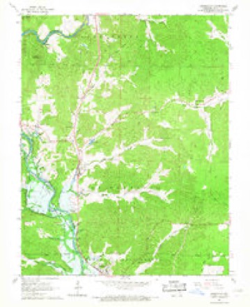
20 topographic sheets cover this place, the earliest surveyed in 1934 and the latest in 1989. It stands in St. Francois Township. It lies in ZIP code area 63944. It lies near Lone Hill. The Survey maps it on the Greenville quadrangle. 443 people lived here at the 2020 count. It stands 407 feet above sea level.
Research this city
Population over time
2 figuresGreenville fell from 511 to 443 between 2010 and 2020. These are the recorded population figures Wikidata holds for this place, reached through the Geographic Names Information System number this page is keyed on rather than by name, so they belong to this place and not to another of the same name. Most are census counts, but not all are: an early figure may be a founding or settlement estimate, and an estimate published within five years of a census is left out. The change column is computed, and is left blank where more than 20 years separate a figure from the one before it, because a gap that long is not a change between two counts.
| Year | People | Change |
|---|---|---|
| 2010 | 511 | |
| 2020 | 443 | -68 (-13%) |
Topographic sheets covering this place
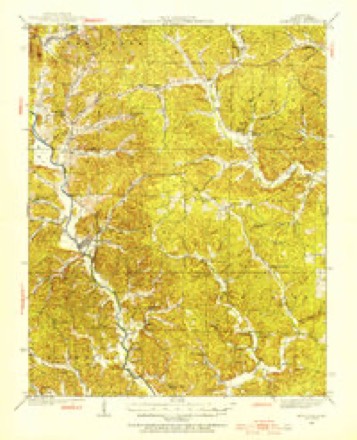
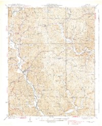
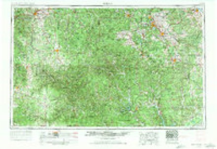
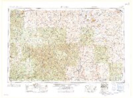
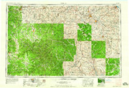
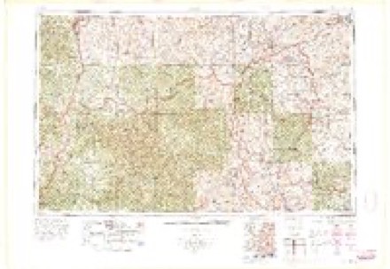
14 surveys from 20 printed sheetsMatched by testing this settlement's coordinate against the published boundary of every sheet in the United States Geological Survey's historical collection. Each opens the scanned sheet at the Survey.
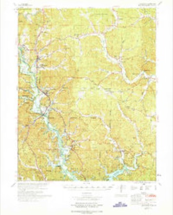
- 1934 USGS Greenville quadrangle1:62500, 2 printings
- 1939 USGS Greenville quadrangle1:62500, 2 printings
- 1949 USGS Rolla quadrangle1:250000
- 1953 USGS Rolla quadrangle1:250000
- 1954 USGS Rolla quadrangle1:250000, 2 printings
- 1958 USGS Rolla quadrangle1:250000
- 1959 USGS Rolla quadrangle1:250000
- 1960 USGS Rolla quadrangle1:250000
- 1966 USGS Greenville quadrangle1:24000, 3 printings
- 1966 USGS Rolla quadrangle1:250000
- 1970 USGS Greenville quadrangle1:62500
- 1971 USGS Rolla quadrangle1:250000
- 1986 USGS Piedmont quadrangle1:100000, 2 printings
- 1989 USGS Rolla quadrangle1:250000
Fires near this place
57 since 1992Regional context, not property-specific evidence. The federal wildfire occurrence database lists 57 fires within 5 miles of Greenville between 1992 and 2019, burning about 1,337 acres in total. None started naturally. 36 were recorded as arson. Distance is straight-line from the map coordinates, so a fire counted here may appear on a neighbouring settlement's page as well.
| Reported cause | Fires |
|---|---|
| Arson/incendiarism | 36 |
| Debris and open burning | 15 |
| Equipment and vehicle use | 3 |
| Missing data/not specified/undetermined | 2 |
| Power generation/transmission/distribution | 1 |
The most recent of them, most recent first, with the day each was reported and the service that recorded it.
| Date | Cause | Size | Reported by | Name on the report |
|---|---|---|---|---|
| 28 August 1993 | Arson/incendiarism | 3.0 acres | Missouri Department of Conservation | not named |
| 8 July 2012 | Arson/incendiarism | under an acre | Mark Twain National Forest | CHILDS HOLLOW |
| 8 July 2012 | Arson/incendiarism | 1.0 acres | Mark Twain National Forest | CHILDS HOLLOW NORTH |
| 11 June 2017 | Debris and open burning | 3.0 acres | Missouri Department of Conservation | not named |
| 1 May 2001 | Arson/incendiarism | under an acre | Mark Twain National Forest | KICKFOOT |
| 9 April 2016 | Missing data/not specified/undetermined | 1.0 acres | Missouri Department of Conservation | 135628-02220-04092016-0000 |
| 9 April 2001 | Arson/incendiarism | 40 acres | Mark Twain National Forest | HICKORY NUT |
| 5 April 2000 | Debris and open burning | 60 acres | Mark Twain National Forest | FF HWY |
Settlements close enough to share some of these fires:
Mines and quarries near this place
10 of 59 shownRegional context, not property-specific evidence. The federal mineral resources record lists 59 workings within 5 miles of Greenville: 38 past producers, 12 prospects, 9 occurrences. None of them still produces. What was taken out: Iron, Sand and Gravel, Construction. Distance is straight-line from the map coordinates, so a quarry counted here may appear on a neighbouring settlement's page as well.
| Where | Site | Commodity | Status | Recorded |
|---|---|---|---|---|
| Unknown - Usfs Land | Sand and Gravel, Construction | Past Producer | ||
| Allen | Iron | Past Producer | 1920 | |
| Alley Mine | Iron | Past Producer | Surface | |
| Alley Mine | Iron | Past Producer | 1907 | |
| Archie Garrison Mine | Iron | Past Producer | 1932 | |
| Atkins Estate | Iron | Past Producer | ||
| Bennett-Smith Mine | Iron | Past Producer | ||
| Bingham Mine | Iron | Past Producer | Surface | |
| Bingham-Harness&Lundry-Eads-Sawyer- | Iron | Past Producer | ||
| Blan Property | Iron | Past Producer |
Storms near this place
55 since 1994Regional context, not property-specific evidence. The National Weather Service names Greenville in 55 storm reports between 1994 and 2025: 17 thunderstorm wind, 16 hail, 11 flood, 5 flash flood. The reports record 3 injuries. Each account below is quoted exactly as the forecast office filed it, from the NOAA Storm Events Database, and each date opens the federal record of that event.
| When | Event | Place named | Harm | What the report says |
|---|---|---|---|---|
| May 2017 | Thunderstorm Wind | Greenville | 2 hurt, $60,000 | Multiple trees were uprooted on D Highway a few miles southeast of Greenville. One vehicle was struck by a falling tree, with minor injuries. Multiple trees were down in a campground. In Greenville, trees and power lines were down. |
| June 1997 | Lightning | Greenville | 1 hurt | A man who was struck by lightning was burned on the arm and abdomen. He refused treatment for his injuries. |
| July 2012 | Thunderstorm Wind | Greenville | $150,000 | Several trees were damaged or uprooted. Power lines were blown down. Half of the community was without power. There was minor structural damage. Two double-wide mobile homes were slightly damaged. Roof shingles were blown off. An awning in front of a church was blown off. The communications antenna tower at the sheriff department was bent over. A small statue was blown over. |
| January 1999 | Thunderstorm Wind | Greenville | $115,000 | Thunderstorm winds caused extensive damage to a house 4 miles east of Greenville. Another house about 6 miles east of Greenville was damaged. Numerous trees and power lines were down in eastern Wayne County. A National Weather Service damage survey indicated the damage was caused by microburst winds near 100 MPH. At the first residence, a modular home was nearly destroyed, with just the bathrooms left standing. An outbuilding 26 by 30 was also destroyed. At the second residence, a very old home was destroyed and two old outbuildings were heavily damaged. |
| April 2011 | Tornado (EF1) | Old Greenville | $100,000 | One mobile home was destroyed by a falling tree. Several outbuildings and a garage were destroyed. Dozens or perhaps hundreds of trees were uprooted. Two convergent path meso vortices were evident. The width of the tornado was difficult to determine due to the interaction with a downburst. There was a large swath of easterly falling trees on conservation land. Some of the pine trees within this area were snapped three feet above the ground. Highway V was blocked by trees and power lines in numerous places. Peak winds were estimated near 100 mph. |
| May 2023 | Thunderstorm Wind | Greenville | $50,000 | A line of thunderstorms produced widespread tree damage across much of the county. The county dispatch center reported trees were blown down. |
| April 2011 | Thunderstorm Wind | Greenville | $20,000 | Trees were blown down on the west side of the community. |
| April 2010 | Heavy Rain | Greenville | $20,000 | A home was damaged when a portion of a basement wall collapsed. About three inches of rain fell during the previous night and early morning. The collapse occurred due to water collecting in recently excavated soil. The weight of the saturated mud caused one of the basement's concrete walls to collapse. The roof of the house began sagging after the collapse. |
| July 1998 | Thunderstorm Wind | Greenville | $20,000 | A trailer was blown over, and trees were down. |
| July 1997 | Thunderstorm Wind | Greenville | $20,000 | Limbs were down. Structural damage occurred to an ambulance shed. |
| December 2015 | Thunderstorm Wind | Greenville | $15,000 | Roofs were damaged in the downtown area, including the roof of the courthouse and a bank. |
| May 2014 | Thunderstorm Wind | Greenville | $10,000 | Tree limbs were blown down. Camper awnings were damaged at the Old Greenville Campground. The damage path was estimated to be about one-quarter mile wide. |
| June 2009 | Thunderstorm Wind | Greenville | $10,000 | Trees were down, and power outages occurred. |
| April 1999 | Thunderstorm Wind | Greenville | $8,000 | Just west of Lake Wappapello, six to ten trees were blown over onto power lines. |
| April 2020 | Thunderstorm Wind | Greenville | $5,000 | A tree fell on a house. |
| July 2024 | Thunderstorm Wind | Greenville | $1,000 | A tree was downed by thunderstorm winds in Greenville, reported by the 911 dispatch center. |
| March 2025 | Hail | Greenville | - | Golf ball size hail fell on the south side of Greenville. |
| February 2022 | Flood | Greenville | - | Minor flooding occurred on the St. Francis River. Low-lying woods, fields, and some campground land was under water. |
| April 2022 | Hail | Greenville | - | This large hail was associated with the same thunderstorm that caused large hail in Piedmont. |
| March 2020 | Flood | Greenville | - | Minor flooding occurred on the St. Francis River. Bottomland and surrounding low-lying woods and fields were under water. |
| April 2019 | Flood | Greenville | - | Minor flooding occurred along the St. Francis River. Low-lying woods, fields, and a few camping areas were inundated. |
| February 2018 | Flood | Greenville | - | Minor flooding occurred on the St. Francis River. Mainly bottomland and surrounding low-lying areas were affected. Fields and woodlands were inundated. |
| April 2018 | Flood | Greenville | - | Minor flooding occurred on the St. Francis River. Low-lying woods and fields near the river were inundated. |
| February 2018 | Flood | Greenville | - | Minor flooding occurred on the St. Francis River. Low-lying and bottomland woods and fields were inundated. |
| July 2016 | Funnel Cloud | Greenville | - | A funnel cloud briefly dipped out of the back side of the storm. The funnel occurred as the storm was beginning to develop, and it was not a supercell storm. |
| July 2016 | Flood | Greenville | - | Minor street flooding was reported. |
| September 2015 | Heavy Rain | Greenville | - | A trained spotter measured 2.82 inches of rain within 18 hours. |
| March 2013 | Flood | Greenville | - | Minor flooding occurred on the St. Francis River near Patterson. Some low-lying woods and fields were underwater, including state wildlife management land. |
| July 2012 | Heavy Rain | Greenville | - | A spotter measured 1.5 inches of rainfall within 20 minutes. Standing water was on many streets. |
| May 2011 | Hail | Greenville | - | Debris from a nearby tornado was falling from the sky along with the hail. |
| July 2010 | Flash Flood | Old Greenville | - | U.S. Highway 67 was flooded in several places. Widespread flooding was observed on area roadways across the county. |
| October 2009 | Flood | Greenville | - | Flooding of creeks and roads was fairly widespread. Schools were closed in large parts of the county. Route FF was closed between Highway 67 and Route U. Water was over Highway 34 in several areas and over V Highway near Piedmont. Portions of Highways E and C were closed. |
| November 2009 | Flood | Greenville | - | Moderate flooding of the St. Francis River continued from October. The river crested at the Patterson gage on October 31 and slowly fell in early November. There was considerable flooding of fields and parkland adjacent to the river. |
| August 2009 | Hail | Greenville | - | A multi-cell cluster of thunderstorms produced large hail over parts of central and eastern Wayne County. Golf-ball size hail was reported in Greenville. Quarter-size hail fell in Shook. |
| April 2008 | Flash Flood | Greenville | - | Route FF was closed from U.S. Highway 67 to Route 34 due to the high level of Lake Wappapello. Route C was closed from Route E to Route 34. |
| August 2000 | Flash Flood | Greenville | - | Persistent thunderstorms dumped very heavy rain. Radar estimated over 3 inches per hour in a small area northeast of Greenville, which exceeded flash flood guidance values. |
| June 1997 | Thunderstorm Wind | Greenville | - | Winds were estimated in excess of 60 MPH. |
| May 1997 | Thunderstorm Wind | Greenville | - | Tree limbs were down near Greenville. Police estimated gusts near 60 MPH at Wappapello. |
| April 1994 | Thunderstorm Wind | Greenville | - | Trees and power lines were knocked down across various parts of the county. |
| May 2022 | Hail | Greenville | - | no account filed |
| March 2020 | Hail | Greenville | - | no account filed |
| March 2020 | Hail | Greenville | - | no account filed |
| June 2019 | Hail | Greenville | - | no account filed |
| May 2019 | Flood | Old Greenville | - | no account filed |
| August 2012 | Hail | Greenville | - | no account filed |
| May 2010 | Hail | Greenville | - | no account filed |
| June 2009 | Hail | Greenville | - | no account filed |
| July 2001 | Hail | Greenville | - | no account filed |
| June 2000 | Flash Flood | Greenville | - | no account filed |
| August 2000 | Hail | Greenville | - | no account filed |
| February 1999 | Hail | Greenville | - | no account filed |
| July 1997 | Hail | Greenville | - | no account filed |
| May 1997 | Hail | Greenville | - | no account filed |
| March 1997 | Flash Flood | Greenville | - | no account filed |
| April 1995 | Thunderstorm Wind | Greenville | - | no account filed |
Nearest settlements
The eight closest, with where each one stands in the county. Distances are straight-line, computed from the Geographic Names Information System coordinates.
| Map | Place | Distance | Sheets |
|---|---|---|---|
| Old Greenville (historical) | 1.8 miles | 19 | |
| Silva | 3.4 miles | 20 | |
| Burbank | 4.4 miles | 20 | |
| Missionary Acres | 5.5 miles | 20 | |
| Bounds | 5.8 miles | 20 | |
| Kime | 5.9 miles | 19 | |
| Holliday Landing | 6.4 miles | 19 | |
| Patterson | 6.8 miles | 19 |
Elsewhere
Matched on this settlement's Geographic Names Information System number rather than its name, so it cannot be a different place of the same name in another state.
| Wikipedia article on Greenville | An encyclopaedic summary. Its text is share-alike, so it is linked here rather than copied. |
| Wikidata item Q966437 | The structured record the population and elevation above come from. Public domain (CC0). |
Provenance
This settlement is recorded in the Geographic Names Information System as feature 750153. The sheet list is computed by point-in-boundary test against the United States Geological Survey's historical topographic inventory. Both are works of the United States government and carry no copyright under 17 U.S.C. 105.
Wildfire. Short, Karen C. 2022. Spatial wildfire occurrence data for the United States, 1992-2020 [FPA_FOD_20221014]. 6th Edition. Fort Collins, CO: Forest Service Research Data Archive. https://doi.org/10.2737/RDS-2013-0009.6 Collected with United States Government funding and usable without additional permissions or fees.
Mines and quarries. USGS Mineral Resources Data System (MRDS) https://mrdata.usgs.gov/mrds/ A work of the United States government, no copyright under 17 U.S.C. 105.
Storms. NOAA National Centers for Environmental Information, Storm Events Database https://www.ncei.noaa.gov/stormevents/ A work of the United States government, no copyright under 17 U.S.C. 105. Narratives are quoted verbatim from the National Weather Service report and are not edited or summarised.