 Block
Grovespring, Missouri
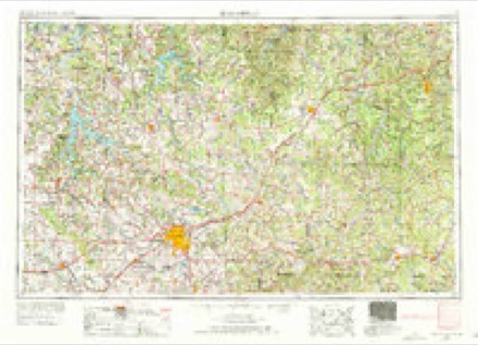
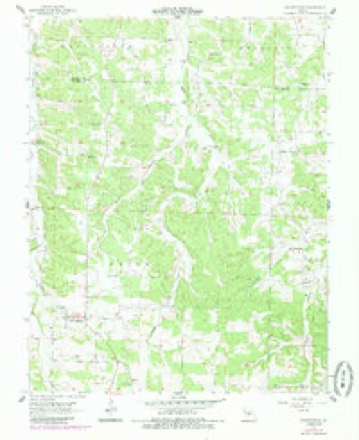
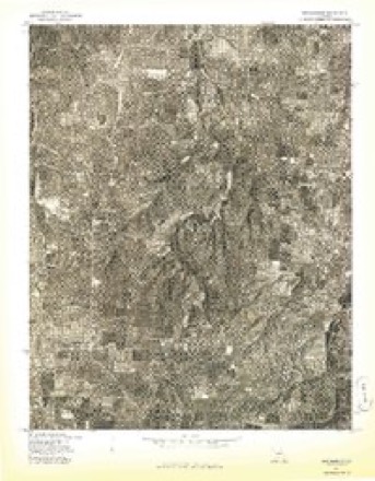
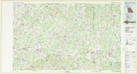
12 topographic sheets cover this place, the earliest surveyed in 1954 and the latest in 1983. It stands in Union Township. It lies in ZIP code area 65662. It lies near Buttrom Hollow. The Survey maps it on the Grovespring quadrangle.
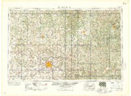
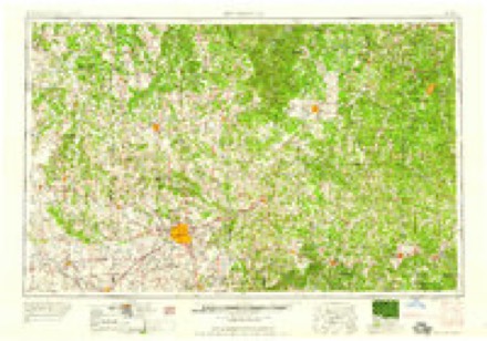
Topographic sheets covering this place
6 surveys from 12 printed sheetsMatched by testing this settlement's coordinate against the published boundary of every sheet in the United States Geological Survey's historical collection. Each opens the scanned sheet at the Survey.
- 1954 USGS Springfield quadrangle1:250000, 6 printings
- 1956 USGS Grovespring quadrangle1:24000, 2 printings
- 1958 USGS Springfield quadrangle1:250000
- 1959 USGS Springfield quadrangle1:250000
- 1977 USGS Grovespring quadrangle1:24000
- 1983 USGS Mountain Grove quadrangle1:100000
Fires near this place
91 since 1992Regional context, not property-specific evidence. The federal wildfire occurrence database lists 91 fires within 5 miles of Grovespring between 1992 and 2020, burning about 1,931 acres in total. None started naturally. 5 were recorded as arson. Distance is straight-line from the map coordinates, so a fire counted here may appear on a neighbouring settlement's page as well.
| Reported cause | Fires |
|---|---|
| Debris and open burning | 68 |
| Equipment and vehicle use | 11 |
| Missing data/not specified/undetermined | 6 |
| Arson/incendiarism | 5 |
| Smoking | 1 |
The most recent of them, most recent first, with the day each was reported and the service that recorded it.
| Date | Cause | Size | Reported by | Name on the report |
|---|---|---|---|---|
| 6 September 1995 | Debris and open burning | 105 acres | Missouri Department of Conservation | not named |
| 12 September 2000 | Debris and open burning | 1.0 acres | Missouri Department of Conservation | not named |
| 10 September 2000 | Debris and open burning | 1.0 acres | Missouri Department of Conservation | not named |
| 10 September 1994 | Debris and open burning | 2.0 acres | Missouri Department of Conservation | not named |
| 26 August 1992 | Debris and open burning | 11 acres | Missouri Department of Conservation | not named |
| 14 August 2000 | Equipment and vehicle use | 1.0 acres | Missouri Department of Conservation | not named |
| 28 July 1992 | Missing data/not specified/undetermined | 1.0 acres | Missouri Department of Conservation | not named |
| 26 July 1996 | Missing data/not specified/undetermined | 1.0 acres | Missouri Department of Conservation | not named |
Settlements close enough to share some of these fires:
Storms near this place
60 of 73 shownRegional context, not property-specific evidence. The National Weather Service names Grovespring in 73 storm reports between 1994 and 2026: 32 hail, 25 thunderstorm wind, 10 flash flood, 4 tornado. The reports record 3 deaths and 2 injuries. Each account below is quoted exactly as the forecast office filed it, from the NOAA Storm Events Database, and each date opens the federal record of that event.
| When | Event | Place named | Harm | What the report says |
|---|---|---|---|---|
| March 2023 | Flash Flood | Grovespring | 2 killed, 2 hurt | Shortly after midnight a vehicle containing 6 occupants attempted to cross a low water crossing on Highway M at Parks Creek. The vehicle was swept off the roadway by high water. Four of the occupants were able to self rescue but two became trapped and drowned as a result. |
| May 2002 | Flash Flood | Grovespring | 1 killed | no account filed |
| December 2021 | Tornado (EF1) | Grovespring | $100,000 | This is the continuation of the storm survey of the EF-1 tornado touched down southeast of Niangua in Webster County and travelled northeast for just over 6 miles into Wright County before lifting a few miles west-southwest of Grovespring. In Wright County the tornado snapped or uprooted numerous trees and caused minor damage a home. |
| January 2008 | Flash Flood | Grovespring | $100,000 | Training severe thunderstorms caused several areas of Wright County to experience flash flooding. Severel roads and low water crossing were washed away, as one to four inches of rain was measured in a six hour period. A couple of specific locations that were flooded include city streets in Hartville and the intersection of Highway 5 and Highway 38. |
| December 2002 | Tornado (F0) | Grovespring | $75,000 | no account filed |
| April 1994 | Tornado (F1) | Grovespring | $50,000 | A total of five buildings, including two barns and a mobile home, were destroyed when a tornado touched down just east of Grovespring. |
| August 2022 | Thunderstorm Wind | Grovespring | $10,000 | An outbuilding suffered moderate damage from high winds. |
| October 2009 | Flash Flood | Grovespring | $10,000 | Senior housing developments were evacuated due to flooding in Mansfield near Maple Avenue and Highway 5 and near Oak Street and Highway 5. Additional flooding occurred across Wright County with reports of propane tanks floating in yards in Mansfield and Hartville. |
| May 1996 | Thunderstorm Wind | Grovespring | $10,000 | no account filed |
| June 2025 | Tornado (EF0) | Grovespring | $8,000 | A NWS ground survey identified two barns with roof panels that were pulled northward within an area where video also showed a funnel cloud very near the ground. |
| May 1998 | Thunderstorm Wind | Grovespring | $5,000 | Thunderstorm winds downed trees and power lines. A barn's roof was also damaged on Highway CC, just north of Highway 38. |
| May 2009 | Thunderstorm Wind | Grovespring | $3,000 | Sixty to 90 mph wind gusts caused widespread damage to trees, power poles, outbuildings, homes, and businesses across all of Wright County. The community of Mansfield was impacted the greatest, as power outages from downed utility lines and poles lasted for up to three days. Numerous homes experienced roof damage. Mansfield Building Company experienced heavy damage, while the roof on the Norwood post office peeled away. |
| June 2015 | Thunderstorm Wind | Grovespring | $2,000 | A couple trees were blown down and a hay barn was damaged near Highway M and Parks Creek Road. |
| July 2012 | Thunderstorm Wind | Grovespring | $2,000 | Several large trees were uprooted in the vicinity of Smittle Cave Road. Several buildings were damaged and pieces of buildings were blown into the road. |
| May 2002 | Thunderstorm Wind | Grovespring | $2,000 | no account filed |
| December 2021 | Thunderstorm Wind | Grovespring | $1,000 | A mobile home was moved of its foundation near the intersection of Highways M and DD. |
| March 2026 | Hail | Grovespring | - | Hail to the size of quarters fell in Grovespring. |
| June 2025 | Flash Flood | Grovespring | - | State route M was closed due to the flooding. |
| May 2022 | Hail | Grovespring | - | Nickle sized hail was reported. |
| May 2022 | Flood | Grovespring | - | Highway M at the Parks Creek low water crossing was closed due to flooding. |
| July 2021 | Thunderstorm Wind | Grovespring | - | Several trees were reported along Highway 5. |
| March 2019 | Hail | Grovespring | - | Quarter size hail was reported near the intersection Highway 5 and Route H. |
| January 2018 | Thunderstorm Wind | Grovespring | - | Large tree limbs were blown down northeast of Grovespring. |
| May 2017 | Hail | Grovespring | - | The public reported golf ball size hail and snapped trees from wind gusts. |
| April 2017 | Flash Flood | Grovespring | - | Route M was impassable and closed due to flooding. |
| June 2015 | Thunderstorm Wind | Grovespring | - | One large tree and several small trees were blown down about a mile south southeast of Grovespring. |
| June 2015 | Thunderstorm Wind | Grovespring | - | Three sycamore trees were blown down at Parks Creek Road. |
| June 2015 | Flood | Grovespring | - | Route M along Parks Creek was flooded and closed. |
| June 2015 | Flash Flood | Grovespring | - | Parks Creek was flowing out of its banks and flooded Highway M. |
| June 2014 | Thunderstorm Wind | Grovespring | - | The public estimated wind gusts of at least 60 mph. |
| August 2012 | Thunderstorm Wind | Grovespring | - | Wind gusts up to 60 mph were estimated. |
| July 2011 | Thunderstorm Wind | Grovespring | - | A large tree was snapped. |
| August 2011 | Thunderstorm Wind | Grovespring | - | Several small trees were downed. |
| June 2008 | Thunderstorm Wind | Grovespring | - | Thunderstorm wind gusts blew down large tree limbs that were blocking the intersection of Highway M and Highway 5. |
| June 2008 | Thunderstorm Wind | Grovespring | - | Thunderstorm wind gusts blew trees down along Parks Creek Road. |
| April 2005 | Flash Flood | Grovespring | - | Flash flooding occurred over low water crossings near the community of Grovespring. |
| May 1998 | Thunderstorm Wind | Grovespring | - | Thunderstorm winds estimated at 60 knots blew down numerous large tree limbs. |
| May 2018 | Hail | Grovespring | - | no account filed |
| May 2013 | Hail | Grovespring | - | no account filed |
| May 2013 | Hail | Grovespring | - | no account filed |
| February 2011 | Hail | Grovespring | - | no account filed |
| February 2011 | Hail | Grovespring | - | no account filed |
| April 2011 | Hail | Grovespring | - | no account filed |
| February 2011 | Hail | Grovespring | - | no account filed |
| February 2011 | Hail | Grovespring | - | no account filed |
| April 2010 | Hail | Grovespring | - | no account filed |
| April 2008 | Hail | Grovespring | - | no account filed |
| March 2006 | Hail | Grovespring | - | no account filed |
| April 2006 | Hail | Grovespring | - | no account filed |
| April 2006 | Hail | Grovespring | - | no account filed |
| May 2006 | Thunderstorm Wind | Grovespring | - | no account filed |
| June 2005 | Hail | Grovespring | - | no account filed |
| March 2003 | Hail | Grovespring | - | no account filed |
| July 2003 | Hail | Grovespring | - | no account filed |
| July 2003 | Thunderstorm Wind | Grovespring | - | no account filed |
| April 2002 | Hail | Grovespring | - | no account filed |
| August 2002 | Hail | Grovespring | - | no account filed |
| August 2002 | Hail | Grovespring | - | no account filed |
| April 2001 | Hail | Grovespring | - | no account filed |
| April 2000 | Thunderstorm Wind | Grovespring | - | no account filed |
Nearest settlements
The eight closest, with where each one stands in the county. Distances are straight-line, computed from the Geographic Names Information System coordinates.
Provenance
This settlement is recorded in the Geographic Names Information System as feature 718906. The sheet list is computed by point-in-boundary test against the United States Geological Survey's historical topographic inventory. Both are works of the United States government and carry no copyright under 17 U.S.C. 105.
Wildfire. Short, Karen C. 2022. Spatial wildfire occurrence data for the United States, 1992-2020 [FPA_FOD_20221014]. 6th Edition. Fort Collins, CO: Forest Service Research Data Archive. https://doi.org/10.2737/RDS-2013-0009.6 Collected with United States Government funding and usable without additional permissions or fees.
Storms. NOAA National Centers for Environmental Information, Storm Events Database https://www.ncei.noaa.gov/stormevents/ A work of the United States government, no copyright under 17 U.S.C. 105. Narratives are quoted verbatim from the National Weather Service report and are not edited or summarised.