 Block
Hastain, Missouri
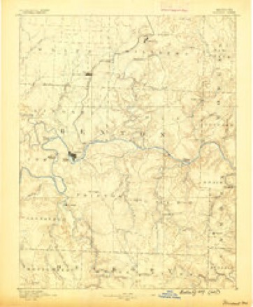
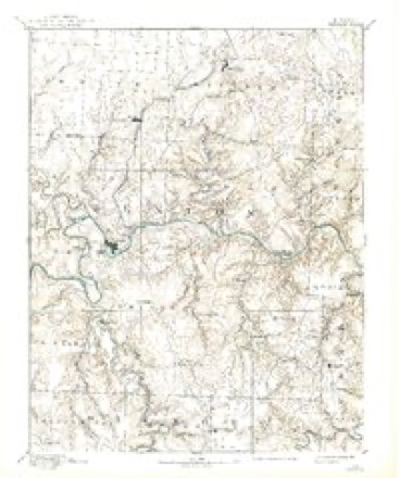
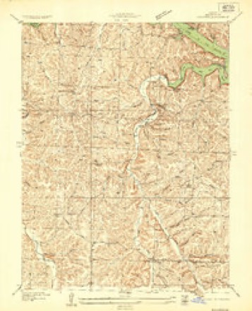
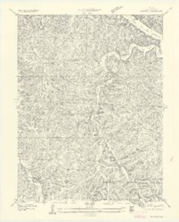
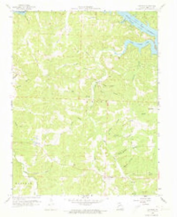
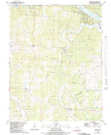
20 topographic sheets cover this place, the earliest surveyed in 1887 and the latest in 1983. It stands in Union Township. It lies in ZIP code area 65326. It lies near Picnic Hollow. The Survey maps it on the Edwards quadrangle.
Topographic sheets covering this place
12 surveys from 20 printed sheetsMatched by testing this settlement's coordinate against the published boundary of every sheet in the United States Geological Survey's historical collection. Each opens the scanned sheet at the Survey.
- 1887 USGS Warsaw quadrangle1:125000
- 1894 USGS Warsaw quadrangle1:125000, 4 printings
- 1935 USGS Edwards quadrangle1:24000
- 1947 USGS Jefferson City quadrangle1:250000
- 1954 USGS Jefferson City quadrangle1:250000, 2 printings
- 1955 USGS Jefferson City quadrangle1:250000, 4 printings
- 1957 USGS Edwards quadrangle1:24000
- 1958 USGS Jefferson City quadrangle1:250000
- 1959 USGS Edwards quadrangle1:24000, 2 printings
- 1959 USGS Jefferson City quadrangle1:250000
- 1983 USGS Edwards quadrangle1:24000
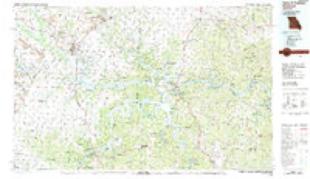
- 1983 USGS Harry S Truman Reservoir quadrangle1:100000





What happened here
An account from the chapter on Union township. The inset identifies its exact source book and publication year.
Noted Criminal Trials
In 1840, Wm. Grizzle was tried on a change of venue from Pulaski County. He was indicted and found guilty of murder in the first degree and Sheriff Smith erected a scaffold for his execution in the hollow, between the hills, a short distance south of Mr. E. S. Drake's house. A large concourse of people gathered to witness the execution, and the prisoner was on the scaffold, when a commutation by the Grovernor to imprisonment in the Penitentiary was produced.
In the county-history sources
15,139 words on this townshipA Sketch of the History of Benton County, Missouri, published 1876 names this settlement in its chapter on Union Township. These are the passages that mention it, exactly as the scans read.
The first store was built by Adamson Cornwall, on the corner diagonally opposite Hastain's corner, where Bibb & Walls had their saddlery store for a long time. In the back room of their store the Clerk's office was kept for some time, and a large part of the records were destroyed here early in 1839, when the store was burned.
Passage source: A Sketch of the History of Benton County, Missouri, published 1876.
During the excitement of these prosecutions, the two parties came to "Warsaw in companies, numbering near a hundred men each, fully armed. But strange to say no serious collision occured between them. On one occasion the Turks who had their headquarters in what is now the Hastain House, fearing the Joneses were too strong for them, circulated the report that they had a cannon, and thursting an old stovepipe out at a window put the Joneses to precipitate flight. Many minor altercations took place in town at this time, and subsequently when law suits were going on. Thomas Howser, who sympathized with the Joneses, got into a quarrel with Hobaugh and Mackey, Turk men, cut Hobaugh and was shot by Mackey. Wm. Terry was attacked by Tom. Turk and Isam Hobles and knocked down with a club, in the old Dutch Fort. This house was the scene of nearly all their rows.
Passage source: A Sketch of the History of Benton County, Missouri, published 1876.
Machine-read from a century-old scan, so expect the errors a machine makes: misspelled names, dropped words, stray characters.
Fires near this place
77 since 1992Regional context, not property-specific evidence. The federal wildfire occurrence database lists 77 fires within 5 miles of Hastain between 1992 and 2020, burning about 2,612 acres in total. 1 started naturally. 12 were recorded as arson. Distance is straight-line from the map coordinates, so a fire counted here may appear on a neighbouring settlement's page as well.
| Reported cause | Fires |
|---|---|
| Debris and open burning | 29 |
| Missing data/not specified/undetermined | 27 |
| Arson/incendiarism | 12 |
| Equipment and vehicle use | 3 |
| Smoking | 2 |
| Power generation/transmission/distribution | 2 |
| Natural | 1 |
| Recreation and ceremony | 1 |
The most recent of them, most recent first, with the day each was reported and the service that recorded it.
| Date | Cause | Size | Reported by | Name on the report |
|---|---|---|---|---|
| 6 September 2015 | Natural | 1.5 acres | Missouri Department of Conservation | 129640-00806-09062015-1743 |
| 25 September 2011 | Debris and open burning | 2.0 acres | Missouri Department of Conservation | not named |
| 22 September 1999 | Debris and open burning | 537 acres | Missouri Department of Conservation | not named |
| 16 September 2019 | Equipment and vehicle use | 11 acres | Missouri Department of Conservation | 179287-00805-09162019-1315 |
| 7 August 1999 | Debris and open burning | 248 acres | Missouri Department of Conservation | not named |
| 9 June 2019 | Debris and open burning | under an acre | Missouri Department of Conservation | 178921-00808-06092019-1830 |
| 8 June 2019 | Equipment and vehicle use | under an acre | Missouri Department of Conservation | 179329-00805-06082019-2115 |
| 6 May 2015 | Missing data/not specified/undetermined | under an acre | Missouri Department of Conservation | 129030-00805-05062015-1705 |
Settlements close enough to share some of these fires:
Mines and quarries near this place
5 within 5 milesRegional context, not property-specific evidence. The federal mineral resources record lists 5 workings within 5 miles of Hastain: 5 past producers. None of them still produces. What was taken out: Sand and Gravel, Construction, Iron, Lead. Distance is straight-line from the map coordinates, so a quarry counted here may appear on a neighbouring settlement's page as well.
| Where | Site | Commodity | Status | Recorded |
|---|---|---|---|---|
| Deer Creek Mines | Lead | Past Producer | ||
| Grissom Bank | Iron | Past Producer | ||
| Gun Bank | Iron | Past Producer | ||
| Unknown - S+G | Sand and Gravel, Construction | Past Producer | ||
| Unknown - S+G | Sand and Gravel, Construction | Past Producer |
Storms near this place
19 since 1998Regional context, not property-specific evidence. The National Weather Service names Hastain in 19 storm reports between 1998 and 2026: 10 flood, 6 flash flood, 2 hail, 1 thunderstorm wind. No death or injury is recorded in these reports. Each account below is quoted exactly as the forecast office filed it, from the NOAA Storm Events Database, and each date opens the federal record of that event.
| When | Event | Place named | Harm | What the report says |
|---|---|---|---|---|
| March 2026 | Thunderstorm Wind | Hastain | $4,000 | Thunderstorm winds downed two trees and a powerline south of Lakeview Heights. |
| April 2026 | Flood | Hastain | - | Route DD was closed at Knobby Creek due to high waters. |
| April 2026 | Flood | Hastain | - | Route V was closed at Deer Creek due to flooding. |
| June 2025 | Flood | Hastain | - | Route V was closed due to flooding of Deer Creek. |
| May 2022 | Flood | Hastain | - | State Highway V was closed due to flooding along Deer Creek. |
| March 2021 | Flood | Hastain | - | The low water crossing on Highway V at Deer Creek was closed due to flooding. |
| March 2020 | Flood | Hastain | - | State Highway V was closed at Deer Creek due to flooding. |
| May 2017 | Flood | Hastain | - | State Highway V was closed due to flooding. |
| August 2015 | Flash Flood | Hastain | - | Route V at Deer Creek was closed due to flooding. |
| June 2015 | Flash Flood | Hastain | - | Highway V was closed due to flood water. |
| July 2015 | Flash Flood | Hastain | - | There was a water rescue at Forbes Campground along Deer Creek. Three people were trapped on a picnic table within swift flowing water. |
| July 2015 | Flash Flood | Hastain | - | Highway V was closed due to flooding. |
| April 2013 | Flood | Hastain | - | Highway V in the vicinity of Deer Creek was closed due to flooding. |
| May 2010 | Flood | Hastain | - | A low water crossing on state Highway V was flooded and closed. |
| April 2007 | Flood | Hastain | - | Heavy rain caused a low water crossing to become impassable to motorists along Highway V. |
| June 2007 | Flash Flood | Hastain | - | Excessive rainfall caused numerous low lying areas and low water crossings over much of the county to flood and become impassable to motorists. A few locations included the intersection of Deer Creek and Highway V and a section of T Highway approximately three miles north of Warsaw. |
| August 2004 | Flash Flood | Hastain | - | Heavy thunderstorms caused flash flooding over several roads near the community of Hastain. As a result, numerous roads were closed. |
| April 2010 | Hail | Hastain | - | no account filed |
| April 1998 | Hail | Hastain | - | no account filed |
Nearest settlements
The eight closest, with where each one stands in the county. Distances are straight-line, computed from the Geographic Names Information System coordinates.
| Map | Place | Distance | Sheets |
|---|---|---|---|
| Lively | 3.7 miles | 20 | |
| Lakeview Heights | 4.1 miles | 21 | |
| Walkers Corner | 4.4 miles | 20 | |
| Edwards | 4.5 miles | 20 | |
| Majorville | 5.1 miles | 23 | |
| Knobby | 5.5 miles | 20 | |
| Zora | 7.2 miles | 20 | |
| Dell | 7.3 miles | 23 |
Elsewhere
Matched on this settlement's Geographic Names Information System number rather than its name, so it cannot be a different place of the same name in another state.
| Wikipedia article on Hastain | An encyclopaedic summary. Its text is share-alike, so it is linked here rather than copied. |
| Wikidata item Q5680150 | The structured record the population and elevation above come from. Public domain (CC0). |
Provenance
This settlement is recorded in the Geographic Names Information System as feature 740911. The sheet list is computed by point-in-boundary test against the United States Geological Survey's historical topographic inventory. Both are works of the United States government and carry no copyright under 17 U.S.C. 105.
Wildfire. Short, Karen C. 2022. Spatial wildfire occurrence data for the United States, 1992-2020 [FPA_FOD_20221014]. 6th Edition. Fort Collins, CO: Forest Service Research Data Archive. https://doi.org/10.2737/RDS-2013-0009.6 Collected with United States Government funding and usable without additional permissions or fees.
Mines and quarries. USGS Mineral Resources Data System (MRDS) https://mrdata.usgs.gov/mrds/ A work of the United States government, no copyright under 17 U.S.C. 105.
Storms. NOAA National Centers for Environmental Information, Storm Events Database https://www.ncei.noaa.gov/stormevents/ A work of the United States government, no copyright under 17 U.S.C. 105. Narratives are quoted verbatim from the National Weather Service report and are not edited or summarised.