 Block
Holmes Park, Missouri
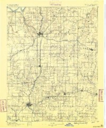
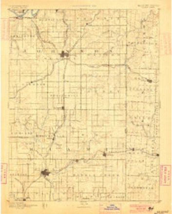
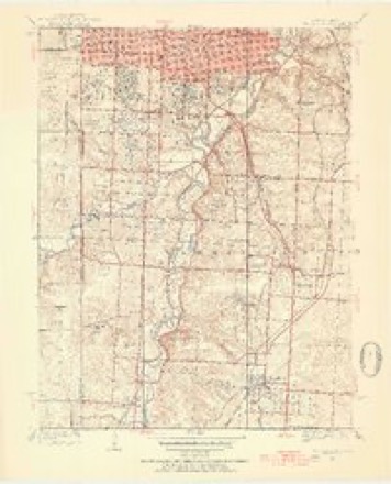
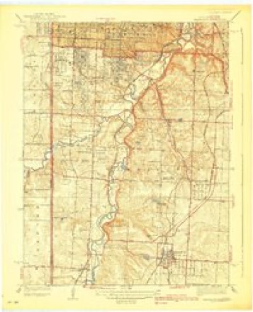
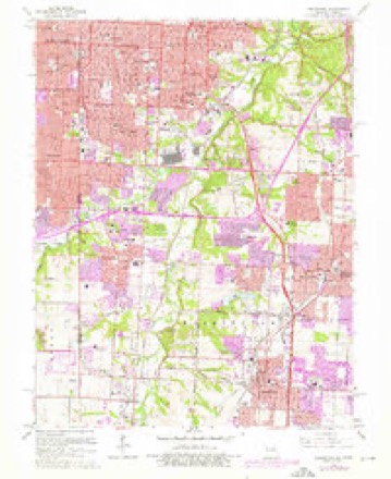
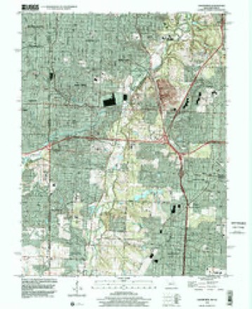
27 topographic sheets cover this place, the earliest surveyed in 1887 and the latest in 1996. It stands in Washington Township. It lies in ZIP code area 64137. It stands on Hart Grove Creek. The Survey maps it on the Grandview quadrangle.
Topographic sheets covering this place
13 surveys from 27 printed sheetsMatched by testing this settlement's coordinate against the published boundary of every sheet in the United States Geological Survey's historical collection. Each opens the scanned sheet at the Survey.
- 1887 USGS Olathe quadrangle1:125000
- 1893 USGS Olathe quadrangle1:125000, 6 printings
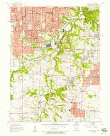
- 1934 USGS Grandview quadrangle1:24000, 3 printings
- 1939 USGS Grandview quadrangle1:31680, 2 printings
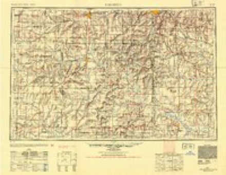
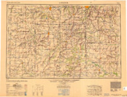
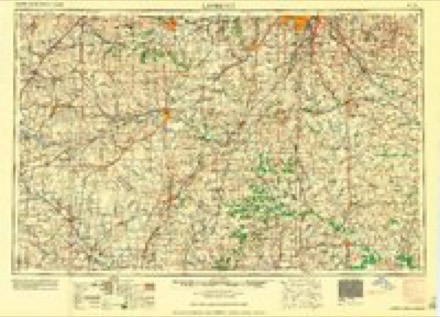
- 1947 USGS Lawrence quadrangle1:250000
- 1950 USGS Lawrence quadrangle1:250000
- 1956 USGS Lawrence quadrangle1:250000, 4 printings
- 1957 USGS Grandview quadrangle1:24000
- 1961 USGS Lawrence quadrangle1:250000
- 1964 USGS Grandview quadrangle1:24000, 4 printings
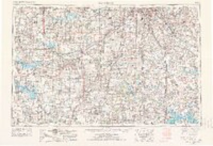
- 1983 USGS Olathe quadrangle1:100000
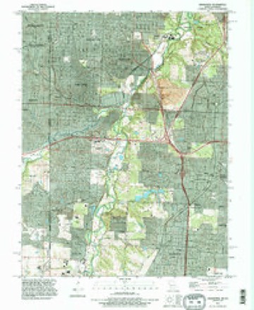
- 1991 USGS Grandview quadrangle1:24000
- 1996 USGS Grandview quadrangle1:24000
What happened here
An account from the chapter on Washington township. The inset identifies its exact source book and publication year.
New Santa Fe
This little post village is situated on the west line of Missouri, about midway in Washington township. It now contains one store and post-office and a few dwelhng houses. Being on the State line between a free and a slave State, it has experienced some of the most remarkable events that have been known on a turbulent border: the Border Ruffian War of 1855-6, the awful commotions of the Civil War, and the bands of outlaws, murderers and robbers since the War of the Rebellion ceased have haunted this section to an unwonted degree.
In the county-history sources
4,827 words on this townshipThe History of Jackson County, Missouri, Containing a History of the County, Its Cities, Towns, Etc., Biographical Sketches of Its Citizens, Jackson County in the Late War... History of Missouri, Map of Jackson County .., published 1881 has no passage naming this settlement, which was common for smaller places. Its township is covered in full.
The chapter on Washington Township covers washington township organized february g^ 18^6, the orders of court fixing the boundaries, first election held at the house of anson mccrackin, the lost townships, physical features, old settlers.
Read the chapter on Washington Township - 4,827 words.
Fires near this place
46 since 2006Regional context, not property-specific evidence. The federal wildfire occurrence database lists 46 fires within 5 miles of Holmes Park between 2006 and 2018, burning about 40 acres in total. 1 started naturally. 3 were recorded as arson. Distance is straight-line from the map coordinates, so a fire counted here may appear on a neighbouring settlement's page as well.
| Reported cause | Fires |
|---|---|
| Missing data/not specified/undetermined | 25 |
| Recreation and ceremony | 6 |
| Equipment and vehicle use | 4 |
| Debris and open burning | 3 |
| Smoking | 3 |
| Arson/incendiarism | 3 |
| Natural | 1 |
| Power generation/transmission/distribution | 1 |
The most recent of them, most recent first, with the day each was reported and the service that recorded it.
| Date | Cause | Size | Reported by | Name on the report |
|---|---|---|---|---|
| 9 September 2017 | Smoking | under an acre | Johnson County | 2520108 |
| 3 September 2018 | Arson/incendiarism | under an acre | Kansas Forest Service | 2460133 |
| 29 September 2007 | Arson/incendiarism | 1.0 acres | Missouri State Fire Marshal's Office | not named |
| 29 September 2007 | Missing data/not specified/undetermined | under an acre | Missouri State Fire Marshal's Office | not named |
| 24 September 2007 | Missing data/not specified/undetermined | under an acre | Missouri State Fire Marshal's Office | not named |
| 16 September 2007 | Missing data/not specified/undetermined | under an acre | Missouri State Fire Marshal's Office | not named |
| 13 September 2007 | Missing data/not specified/undetermined | under an acre | Missouri State Fire Marshal's Office | not named |
| 13 September 2007 | Missing data/not specified/undetermined | under an acre | Missouri State Fire Marshal's Office | not named |
Settlements close enough to share some of these fires:
Mines and quarries near this place
10 of 23 shownRegional context, not property-specific evidence. The federal mineral resources record lists 23 workings within 5 miles of Holmes Park: 21 past producers, 2 producers. 2 still produce. What was taken out: Stone, Crushed/Broken, Clay. Distance is straight-line from the map coordinates, so a quarry counted here may appear on a neighbouring settlement's page as well.
| Where | Site | Commodity | Status | Recorded |
|---|---|---|---|---|
| Unknown-Clay | Clay | Past Producer | ||
| Beyer Mine and Mill | Stone, Crushed/Broken | Producer | ||
| Beyer Quarry | Stone, Crushed/Broken | Producer | ||
| Strong Mine | Stone, Crushed/Broken | Past Producer | ||
| Unknown | Stone, Crushed/Broken | Past Producer | ||
| Unknown-Ls | Stone, Crushed/Broken | Past Producer | ||
| Unknown-Ls | Stone, Crushed/Broken | Past Producer | ||
| Unknown-Ls | Stone, Crushed/Broken | Past Producer | ||
| Unknown-Ls | Stone, Crushed/Broken | Past Producer | ||
| Unknown-Ls | Stone, Crushed/Broken | Past Producer |
Storms near this place
17 since 2010Regional context, not property-specific evidence. The National Weather Service names Holmes Park in 17 storm reports between 2010 and 2025: 11 thunderstorm wind, 4 hail, 1 flash flood, 1 flood. No death or injury is recorded in these reports. Each account below is quoted exactly as the forecast office filed it, from the NOAA Storm Events Database, and each date opens the federal record of that event.
| When | Event | Place named | Harm | What the report says |
|---|---|---|---|---|
| June 2025 | Thunderstorm Wind | Holmes Park | - | Several reports of downed trees and wires near Indian Village. |
| June 2025 | Thunderstorm Wind | Holmes Park | - | Tree limbs downed at Ward Parkway Shopping Center on State Line Road. |
| July 2025 | Thunderstorm Wind | Holmes Park | - | Social media report of a downed tree at a residence near Highland Avenue. |
| May 2024 | Thunderstorm Wind | Holmes Park | - | Social media report and photos of downed trees near 75th Street and the Paseo. |
| May 2024 | Thunderstorm Wind | Holmes Park | - | Approximately 25 medium to large-sized tree limbs down near Ward and 85th. Time estimated from radar. |
| November 2021 | Thunderstorm Wind | Holmes Park | - | A few large three limbs were down. |
| June 2020 | Thunderstorm Wind | Holmes Park | - | KMBC news 9 reported a tree down. |
| June 2020 | Thunderstorm Wind | Holmes Park | - | KCFD reported 2 large trees down on a structure at this location. |
| April 2019 | Flood | Holmes Park | - | Storm sewer system was overflowing with some ponding on the roads. This report was received via social media. |
| June 2018 | Thunderstorm Wind | Holmes Park | - | A tree was snapped in half in Grandview. This report was received via social media. |
| July 2017 | Flash Flood | Holmes Park | - | After 5 to 7 inches of rain fell across Kansas City in 3-6 hours, one of the hardest hit areas in the Kansas City Metro was along Indian Creek near 103rd and Wornall. Several car dealerships in that area had merchandise inundated and washed away due to the record flood for Indian Creek. Also at that intersection was a restaurant that had two of its owners trapped in the rafters of the business as waters rushed into the building. The owners were rescued by fire fighters when they rode a motorized raft to the building and extracted the owners through the roof. This rescue took place on live television. This narrative was not unique to this location, as water rescues took place in numerous areas across Kansas City. The value of loss is tremendous, but no value has been submitted. |
| July 2016 | Thunderstorm Wind | Holmes Park | - | A tree was down across a driveway near W 91st Street and Wornall Road. This report was received via social media. |
| March 2014 | Hail | Holmes Park | - | Pea to dime size hail was reported. |
| June 2014 | Thunderstorm Wind | Holmes Park | - | Large tree blown onto a home. |
| March 2016 | Hail | Holmes Park | - | no account filed |
| October 2014 | Hail | Holmes Park | - | no account filed |
| April 2010 | Hail | Holmes Park | - | no account filed |
Nearest settlements
The eight closest, with where each one stands in the county. Distances are straight-line, computed from the Geographic Names Information System coordinates.
| Map | Place | Distance | Sheets |
|---|---|---|---|
| Flinn | 0.8 miles | 27 | |
| Bryant | 1.4 miles | 27 | |
| Jeffreys | 1.7 miles | 27 | |
| Dodson | 1.8 miles | 27 | |
| Marlborough | 2.2 miles | 27 | |
| Ruskin | 2.4 miles | 27 | |
| Hickman Mills | 2.5 miles | 27 | |
| Melville | 2.7 miles | 27 |
Provenance
This settlement is recorded in the Geographic Names Information System as feature 719732. The sheet list is computed by point-in-boundary test against the United States Geological Survey's historical topographic inventory. Both are works of the United States government and carry no copyright under 17 U.S.C. 105.
Wildfire. Short, Karen C. 2022. Spatial wildfire occurrence data for the United States, 1992-2020 [FPA_FOD_20221014]. 6th Edition. Fort Collins, CO: Forest Service Research Data Archive. https://doi.org/10.2737/RDS-2013-0009.6 Collected with United States Government funding and usable without additional permissions or fees.
Mines and quarries. USGS Mineral Resources Data System (MRDS) https://mrdata.usgs.gov/mrds/ A work of the United States government, no copyright under 17 U.S.C. 105.
Storms. NOAA National Centers for Environmental Information, Storm Events Database https://www.ncei.noaa.gov/stormevents/ A work of the United States government, no copyright under 17 U.S.C. 105. Narratives are quoted verbatim from the National Weather Service report and are not edited or summarised.